![]()
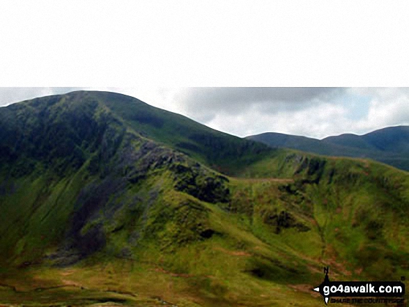
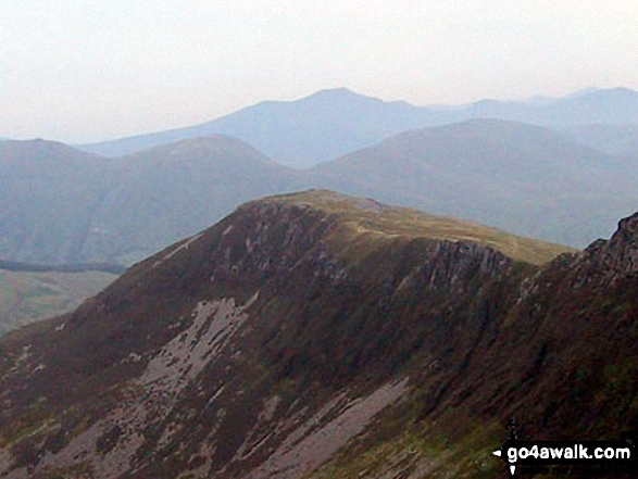
Moel Cynghorion
674m (2212ft)
The Snowdon Area, Snowdonia, Gwynedd, Wales
Moel Cynghorion means 'Bare Hill of The Councillors' in Welsh and is pronounced 'moil cun-gh-or ee-on'.
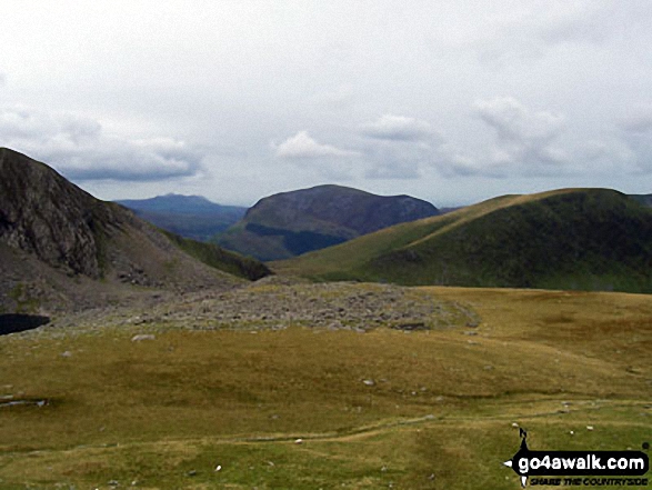
The summit of Moel Cynghorion is marked by a small cairn & a ladder stile over a fence.
Not familiar with this top?
   |
|---|
Vital Statistics:
| Length: | 11ml (17.5km) |
|---|---|
| Ascent: | 4,175ft (1,273m) |
| Time: | 8 hrs |
| Grade: |  (Hard) (Hard) |
Route Summary:
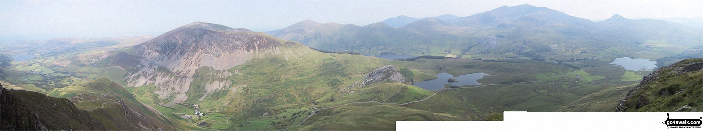
Snowdon Mountain Railway Llanberis Station - Cader Ellyll - Llanberis Path - Halfway Station - Llechog (Llanberis Path) - Clogwyn Station - Llyn Du'r Arrdu - Bwlch Cwm Brwynog - Moel Cynghorion - Bwlch Maesgwm - Foel Goch (Snowdon) - Foel Gron - Moel Eilio (Llanberis) - Llanberis.
|
|---|
Vital Statistics:
| Length: | 11.5ml (18.5km) |
|---|---|
| Ascent: | 4,179ft (1,346m) |
| Time: | 8.75hrs |
| Grade: |  (Hard) (Hard) |
Route Summary:
Snowdon Mountain Railway Llanberis Station - Cader Ellyll - Llanberis Path - Halfway Station - Llechog (Llanberis Path) - Clogwyn Station - Garnedd Ugain (Crib y Ddysgl) - Bwlch Glas - Snowdon (Yr Wyddfa) - Clogwyn Du'r Arddu Path - Snowdon Ranger Path - Moel Cynghorion - Bwlch Maesgwm - Llanberis.
|
|---|
Vital Statistics:
| Length: | 13.25ml (21km) |
|---|---|
| Ascent: | 5,651ft (1,723m) |
| Time: | 10½ hrs |
| Grade: |  (Very Hard) (Very Hard) |
Route Summary:
Snowdon Mountain Railway Llanberis Station - Cader Ellyll - Llanberis Path - Halfway Station - Llechog (Llanberis Path) - Clogwyn Station - Garnedd Ugain (Crib y Ddysgl) - Bwlch Glas - Snowdon (Yr Wyddfa) - Clogwyn Du'r Arddu Path - Snowdon Ranger Path - Moel Cynghorion - Bwlch Maesgwm - Foel Goch (Snowdon) - Foel Gron - Moel Eilio (Llanberis) - Llanberis.
See Moel Cynghorion and the surrounding tops on our free-to-access 'Google Style' Peak Bagging Maps:
The Snowdon Area of Snowdonia National Park
Less data - quicker to download
The Whole of Snowdonia National Park
More data - might take a little longer to download
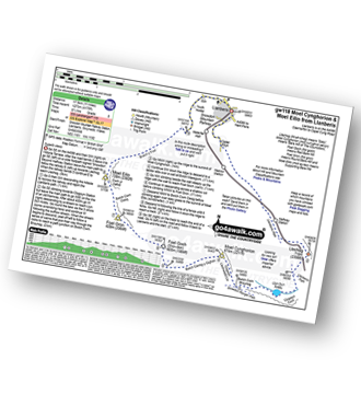
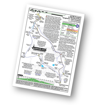
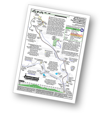
See Moel Cynghorion and the surrounding tops on our downloadable Peak Bagging Map in PDF format:

NB: Whether you print off a copy or download it to your phone, this PDF Peak Baggers' Map might prove incredibly useful when your are up there on the tops and you cannot get a phone signal.
You can find Moel Cynghorion & all the walks that climb it on these unique free-to-access Interactive Walk Planning Maps:
1:25,000 scale OS Explorer Map (orange/yellow covers):
1:50,000 scale OS Landranger Map (pink/magenta covers):
 Fellow go4awalkers who have already walked, climbed, summited & bagged Moel Cynghorion
Donovan Suddell walked up it on December 17th, 2024 [from/via/route] Ranger Path [with] Solo [weather] Dry but cloudy with some mist at the summit
Melfyn Parry climbed it on October 16th, 2022 [from/via/route] Started walk from car park at SH573609 in Llanberis. Followed route up a steep lane to join the track leading past Maen-Llwyd Uchaf. Continued along before joining well defined path to summit of Moel Eilio. From here continued along the ridge to pass over Foel Gron & Foel Goch before dropping down to telegraph valley. From here continued up to summit of Moel Cynghorion & then dropped down to Helfa Fawr & then on to join the bottom of the Llanberis path from Snowdon. Continued back to village to end the walk. [with] PRC [weather] A sunny, dry day but cool in the wind. - An really enjoyable walk with stunning views. Straight forward route.
Sion Britton bagged it on April 3rd, 2021 [from/via/route] Llwybr Llechi wrth Waunfawr. [with] Rhiannon [weather] Braf.
Andy Buxton hiked it during August, 1967 [with] Dad
Christina Lander summited on May 15th, 2019 [from/via/route] Llanberis - Moel Eilio - Foel Gron - Foel Goch - Moel Cynghorion - Llanberis [with] Dick & Meg [weather] Beautiful, warm, sunny day
Bleddyn Rhys conquered it on December 28th, 2016 [from/via/route] Waunfawr i Rhyd Ddu [with] Caradog Rhys
Gerald Murphy scaled it on July 3rd, 2015 [from/via/route] The only variation that I made to route gw118 was as follows: From the Llanberis path I followed the tramway towards Clogwyn Coch but, as soon as Llyn Du'r Arddu came into view, I left the tramway & veered west along the ridge above the lake. This gave me some beautiful views both of Clogwyn, of the lake and, ahead, of Mynydd Mawr. There is a faint trod path between the rocks of the ridge. After passing the lake I dropped down gradually, following the ridge and, eventually, crossing the outlet stream over an easy route across abundant rocks. I didn't see any of the cairns mentioned on the route notes, although I'm sure that I must have been close to the intended route. The big mistake that I then made was to head North West to what appeared, from a distance, to be a path headed up Cynghorion's East face. This, however led me into a boggy patch and, at one point, stepping onto what looked like firm ground, had me with one leg submerged to above the knees! Fortunately, I got back onto a firmer surface quickly and, in sunny weather with a drying breeze, I soon dried out as I walked. I headed back to the higher ground of Bwlch Cwm Brwynog & soon noticed a stile ahead & above. This got me easily to the paths above Llyn Ffynnon-y-Gwas - the Snowdon Ranger path below & a clear path following the fence up to Moel Cynghorion. From there on I followed the obvious paths along the rest of the route to Moel Eilio. The views, in all directions along the route were stunning. [weather] Fine, sunny, warm, excellent visibility, slight breeze. - From the stile junction of the descent from Moel Cynghorion, at Bwlch Maesgwm, the route instructs you to follow the wall to the summit & its cairn. There is no wall to follow. There is a fence but the clear path quickly leaves the fence & leads quickly to the summit of Foel Goch. There is no cairn worth talking about - merely a few stones laid on the ground if you search for them. The rest of the route directions were fine & the paths along the ridge were all obvious.
Robert Taylor-Marriott walked up it on August 1st, 2011 [from/via/route] Route 30: Moel Eilio Foel Goch Moel Cynghorion (MEFG). [with] Vince Wetton, Terry Jones and Robert Taylor-Marriott. [weather] Sunny.
Stephen Lewis climbed it during August, 2012 [from/via/route] Llanberis [with] Pete Williamson [weather] Hot & sunny - Long route to Snowdon
Wyn Griffiths bagged it on September 5th, 2010 [from/via/route] Along the Maesgwm path [with] Jules [weather] Excellent
To add (or remove) your name and experiences on this page - Log On and edit your Personal Mountain Bagging Record
. . . [see more walk reports]
More Photographs & Pictures of views from, on or of Moel Cynghorion
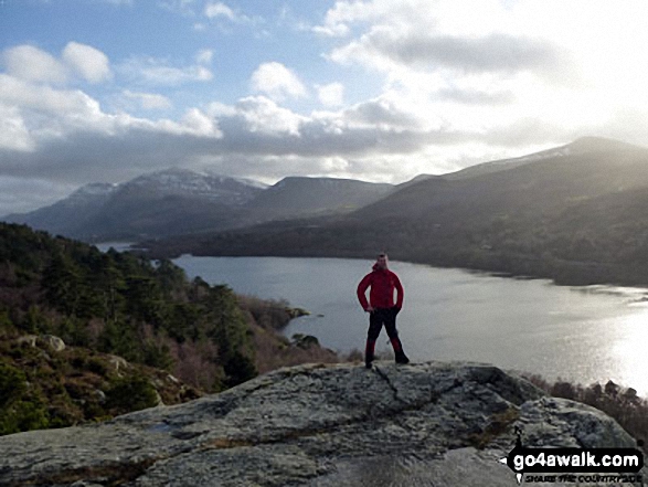
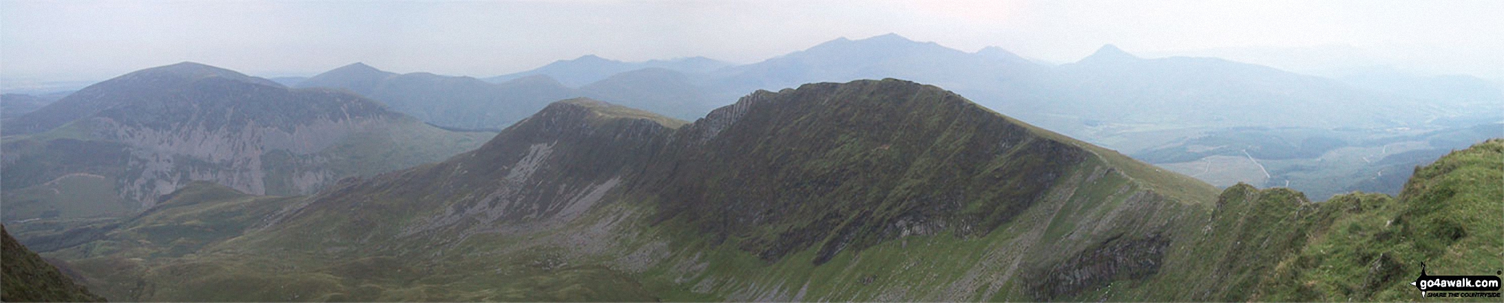
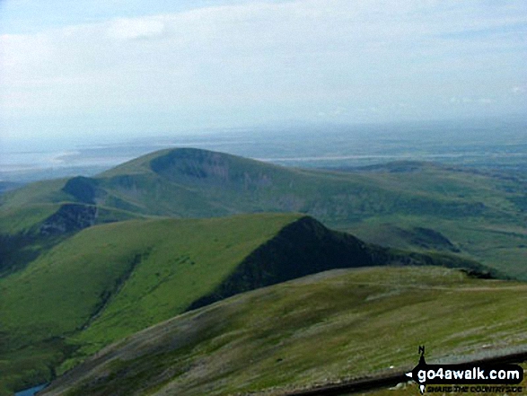
Send us your photographs and pictures on, of, or from Moel Cynghorion
If you would like to add your walk photographs and pictures to this page, please send them as email attachments (configured for any computer) along with your name to:
and we shall do our best to publish them.
(Guide Resolution = 300dpi. At least = 660pixels (wide) x 440 pixels (high).)

You can also submit photos via our Facebook Page.
NB. Please indicate where each photo was taken and whether you wish us to credit your photos with a Username or your First Name/Last Name.
Not familiar with this top?