   |
Vital Statistics:
| Length: | 6½mls (10.5km) |
| Ascent: | 2,422ft (738m) |
| Time: | 5hrs |
| Grade: |  |
Route outline for walk cw115:
Crimea Pass (Bwlch y Gorddinan) - Iwerddon (Allt-fawr) - Allt-fawr (Moelwyns) - Llyn Conglog - Moel Druman - Llyn Coch - Llyn Terfyn - Ysgafell Wen - Ysgafell Wen (North Top) - Llynnau'r Cwn - Ysgafell Wen (Far North Top) - Afon Lledr - Moel Fleiddiau - Moel Lledr - Moel Dyrnogydd - Crimea Pass (Bwlch y Gorddinan)
Peaks, Summits and Tops reached on this walk:
 4 Welsh Mountains |
 0 Wainwrights |
 5 Welsh Nuttalls |
 1 Welsh Dewey |
 0 Wainwright Outlying Fells |
 1 Welsh Marilyn |
 1 Bridget |
Peak Bagging Statistics for this walk:
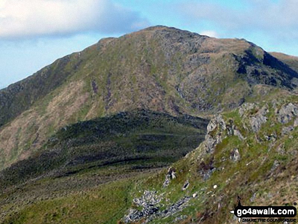
The highest point of this walk is Allt-fawr (Moelwyns) at 698m (2291ft). Allt-fawr (Moelwyns) is classified as a Welsh Mountain (Hewitt) (68th highest in Wales, 175th highest in England & Wales)
Allt-fawr (Moelwyns) is also known as a Welsh Nuttall (88th highest in Wales, 223rd highest in England & Wales) and a Welsh Marilyn (34th highest in Wales, 599th highest in the UK).
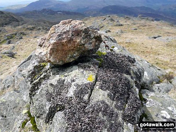
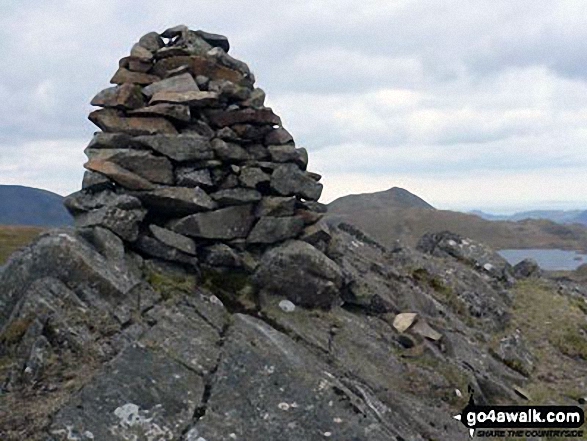
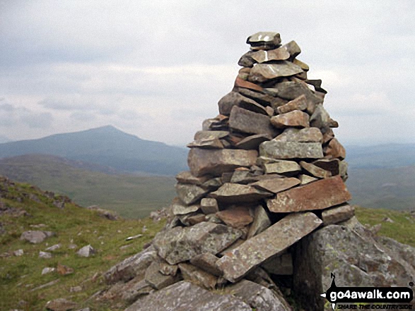
Allt-fawr (Moelwyns) means 'High Hill' in Welsh. The summit of Allt-fawr (Moelwyns) is marked by a rocky outcrop.
Completing this walk will also take you to the top of Moel Druman at 676m (2219ft). Moel Druman is classified as a Welsh Mountain (Hewitt) (81st highest in Wales, 198th highest in England & Wales)
Moel Druman is also known as a Welsh Nuttall (111th highest in Wales, 266th highest in England & Wales). Moel Druman means 'Bare Hill Ridge' in Welsh. The summit of Moel Druman is marked by a rocky outcrop.
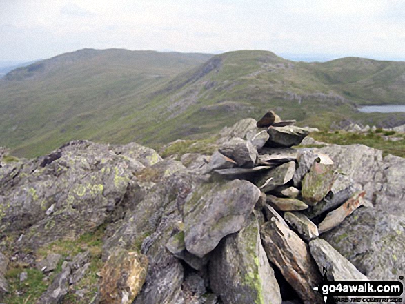
You will also reach the summit of Ysgafell Wen at 672m (2206ft). Ysgafell Wen is classified as a Welsh Mountain (Hewitt) (84th highest in Wales, 208th highest in England & Wales)
Ysgafell Wen is also known as a Welsh Nuttall (114th highest in Wales, 279th highest in England & Wales). Ysgafell Wen means 'White Ledge' in Welsh. The summit of Ysgafell Wen is marked by a cairn.
Along the way you will also bag:
- Ysgafell Wen (North Top) at 669m (2195ft). Ysgafell Wen (North Top) is classified as a Welsh Mountain (Hewitt) (88th Wales, 216th Eng & Wal) and a Welsh Nuttall (118th highest in Wales, 288th highest in England & Wales). Ysgafell Wen (North Top) means 'White Ledge' in Welsh. The summit of Ysgafell Wen (North Top) is marked by a sculptured cairn.
- Ysgafell Wen (Far North Top) at 659m (2162ft). Ysgafell Wen (Far North Top) is known as a Welsh Nuttall (132nd highest in Wales, 313th highest in England & Wales). Ysgafell Wen (Far North Top) means 'White Ledge' in Welsh. The summit of Ysgafell Wen (Far North Top) is marked by a small cairn.
- Iwerddon (Allt-fawr) at 583m (1913ft). Iwerddon (Allt-fawr) is known as a Welsh Bridget.
- Moel Dyrnogydd at 524m (1720ft). Moel Dyrnogydd is classified as a Welsh Dewey (165th highest in Wales, 295th highest in England & Wales).
You can find this walk and other nearby walks on these unique free-to-access Interactive Walk Planning Maps:
1:25,000 scale OS Explorer Maps (orange/yellow covers):
1:50,000 scale OS Landranger Map (pink/magenta covers):
Some Photos and Pictures from Walk cw115 Allt-fawr, Moel Druman and Ysgafell Wen from Crimea Pass (Bwlch y Gorddinan)
In no particular order . . .
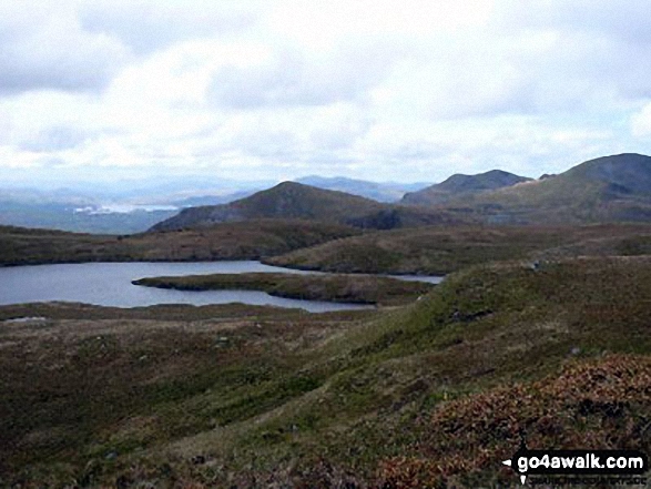
LLyn Coch with Porthmadog in the distance from the approach to Ysgafwell Wen
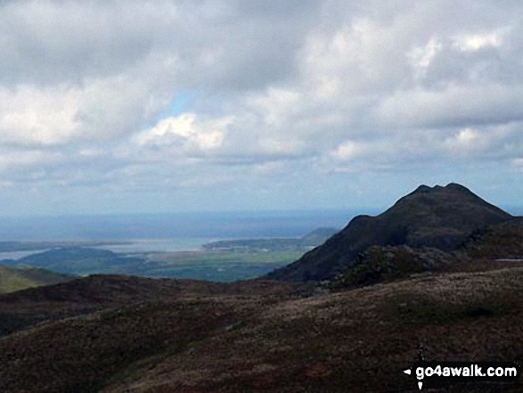
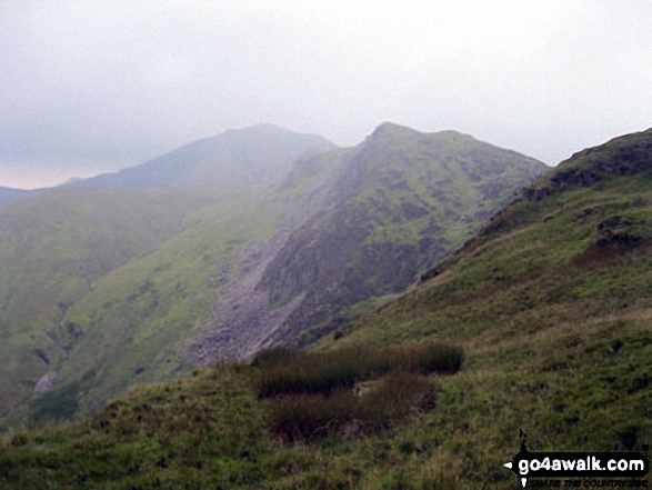
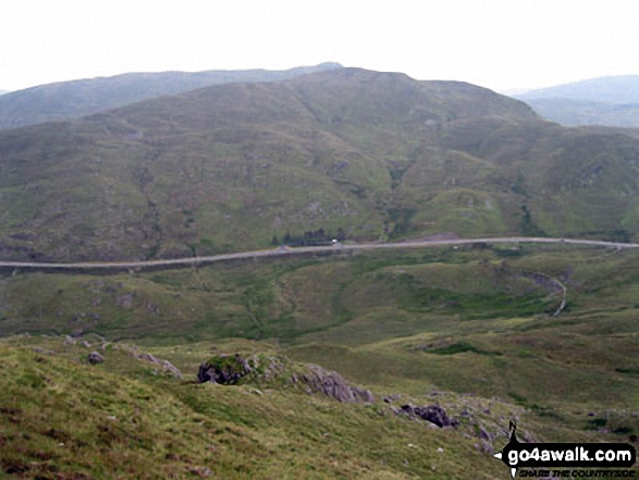
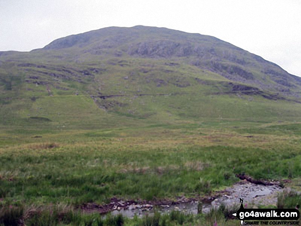
Allt-fawr (Moelwyns) and Iwerddon (Allt-fawr) from Crimea Pass (Bwlch y Gorddinan)
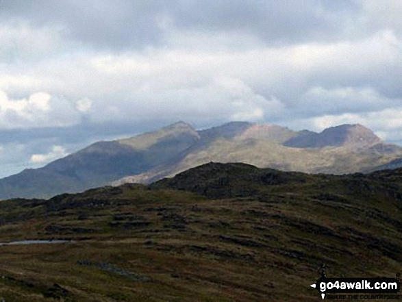
The Snowdon Range - Y Lliwedd, Snowdon (Yr Wyddfa), Garnedd Ugain (Crib y Ddysgl) and Crib Goch - from Ysgafell Wen
The Snowdon Massif - Yr Aran (far left in sunlight), Snowdon (Yr Wyddfa), Y Lliwedd (in sunlight), Garnedd Ugain (Crib y Ddysgl) and Crib Goch - from Allt-fawr (Moelwyns)
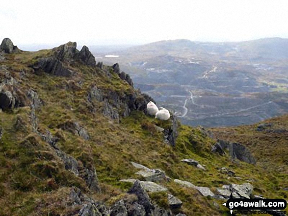
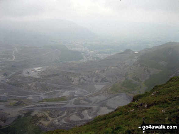
Sheep safely grazing on Allt-fawr (Moelwyns) with Moel Penamnen and Manod Mawr across the valley in the distance
The shoulder of Moelwyn Mawr (left) and Cnicht above Llyn Conlog from Allt-fawr (Moelwyns)
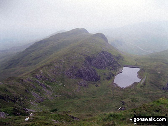
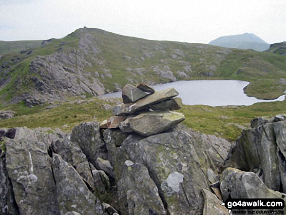
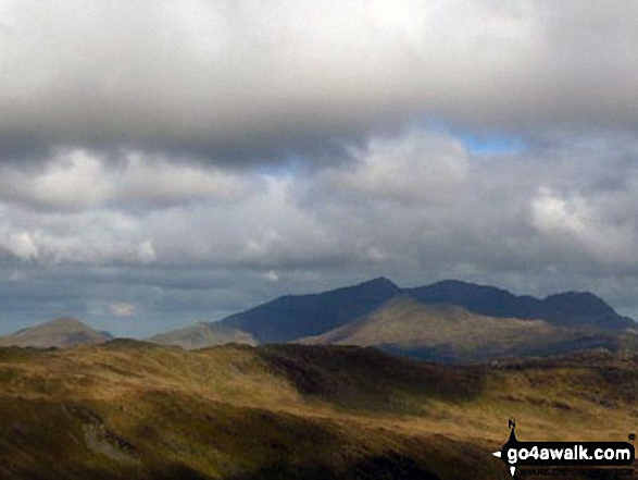
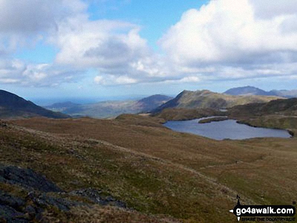
Ysgafell Wen (North Top) and Llynnau'r Cwn from Ysgafell Wen (Far North Top)
Send us your photographs and pictures from your walks and hikes
We would love to see your photographs and pictures from walk cw115 Allt-fawr, Moel Druman and Ysgafell Wen from Crimea Pass (Bwlch y Gorddinan). Send them in to us as email attachments (configured for any computer) along with your name and where the picture was taken to:
and we shall do our best to publish them.
(Guide Resolution = 300dpi. At least = 660 pixels (wide) x 440 pixels (high).)

You can also submit photos from walk cw115 Allt-fawr, Moel Druman and Ysgafell Wen from Crimea Pass (Bwlch y Gorddinan) via our Facebook Page.
NB. Please indicate where each photo was taken.


