Wales - a fully detailed list of all the Mountains, Peaks, Tops and Hills (Page 4 of 5)
Wales is defined as the whole of the principality of Wales which includes the National Parks of Snowdonia,
Bannau Brycheiniog (The Brecon Beacons) and The Pembrokeshire Coast as well as Mynyddoedd Cambria (The Cambrian Mountains), Radnor Forest, Anglesey, The Llynn Peninsula, The Preseli Mountains and The Gower Peninsula.
If you count only the Mountains (Hewitts) there are 136 tops to climb, bag & conquer and the highest point is Snowdon (Yr Wyddfa) at 1,085m (3,561ft).
To see these Mountains, Peaks, Tops and Hills displayed in different ways - see the options in the left-hand column and towards the bottom of this page.
LOG ON and RELOAD this page to show which Mountains, Peaks, Tops and Hills you have already climbed, bagged & conquered [. . . more details]
Page 4 of 5 Go to page:
1 2 3 4 5 |
See this list in: Alphabetical Order‡
| Height Order
To reverse the order select the link again.
Mountain, Peak, Top or Hill:
Bagged
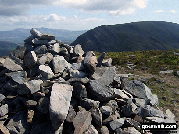
91. Mynydd Llysiau
663m (2,175ft)
Mountain (94th in Wales, 227th in England & Wales)
Nuttall (125th in Wales, 303rd in England & Wales)
To walk, climb & bag Mynydd Llysiau use any of these easy-to-follow walks:
See the location of Mynydd Llysiau and walks up it on a google MapMynydd Llysiau is on interactive maps:
OS Explorer (Orange Covers): OL13
OS Landranger (Pink Covers): 161
Mynydd Llysiau is on downloadable PDF you can Print or Save to your Phone:
|
92. Mynydd Mawr (Llyn Cwellyn)
698m (2,291ft)
Mountain (69th in Wales, 176th in England & Wales)
Nuttall (89th in Wales, 224th in England & Wales)
Marilyn (35th in Wales, 601st in GB)
To walk, climb & bag Mynydd Mawr (Llyn Cwellyn) use this easy-to-follow walk:
See the location of Mynydd Mawr (Llyn Cwellyn) and walks up it on a google MapMynydd Mawr (Llyn Cwellyn) is on interactive maps:
OS Explorer (Orange Covers): OL17
OS Landranger (Pink Covers): 115
Mynydd Mawr (Llyn Cwellyn) is on downloadable PDF you can Print or Save to your Phone:
|
93. Mynydd Moel
863m (2,832ft)
Mountain (23rd in Wales, 40th in England & Wales)
Nuttall (26th in Wales, 47th in England & Wales)
To walk, climb & bag Mynydd Moel use any of these easy-to-follow walks:
See the location of Mynydd Moel and walks up it on a google MapMynydd Moel is on interactive maps:
OS Explorer (Orange Covers): OL23
OS Landranger (Pink Covers): 124
Mynydd Moel is on downloadable PDF you can Print or Save to your Phone:
|
94. Mynydd Tal-y-mignedd
653m (2,143ft)
Mountain (102nd in Wales, 244th in England & Wales)
Nuttall (138th in Wales, 327th in England & Wales)
To walk, climb & bag Mynydd Tal-y-mignedd use either of these easy-to-follow walks:
See the location of Mynydd Tal-y-mignedd and walks up it on a google MapMynydd Tal-y-mignedd is on interactive maps:
OS Explorer (Orange Covers): OL17
OS Landranger (Pink Covers): 115
Mynydd Tal-y-mignedd is on downloadable PDF you can Print or Save to your Phone:
|
95. Mynydd Tarw
681m (2,235ft)
Mountain (79th in Wales, 193rd in England & Wales)
Nuttall (105th in Wales, 256th in England & Wales)
To walk, climb & bag Mynydd Tarw use this easy-to-follow walk:
See the location of Mynydd Tarw and walks up it on a google MapMynydd Tarw is on interactive maps:
OS Explorer (Orange Covers): 255
OS Landranger (Pink Covers): 125
Mynydd Tarw is on downloadable PDF you can Print or Save to your Phone:
|
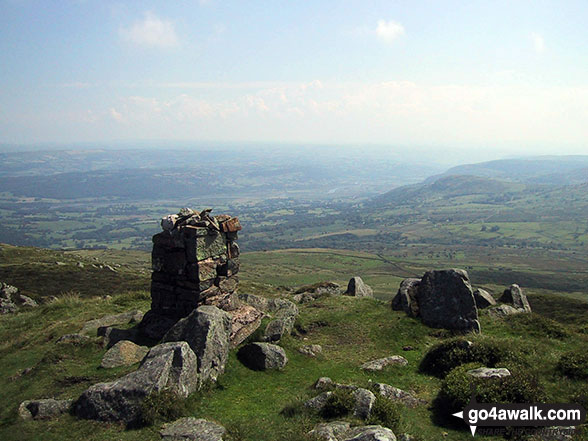
96. Pen Allt-mawr
719m (2,362ft)
Mountain (62nd in Wales, 150th in England & Wales)
Nuttall (78th in Wales, 186th in England & Wales)
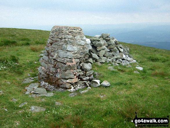
OS Trig Point
To walk, climb & bag Pen Allt-mawr use any of these easy-to-follow walks:
See the location of Pen Allt-mawr and walks up it on a google MapPen Allt-mawr is on interactive maps:
OS Explorer (Orange Covers): OL13
OS Landranger (Pink Covers): 161
Pen Allt-mawr is on downloadable PDF you can Print or Save to your Phone:
|
97. Pen Bwlch Llandrillo Top
621m (2,038ft)
Mountain (123rd in Wales, 291st in England & Wales)
Nuttall (171st in Wales, 401st in England & Wales)
To walk, climb & bag Pen Bwlch Llandrillo Top use any of these easy-to-follow walks:
See the location of Pen Bwlch Llandrillo Top and walks up it on a google MapPen Bwlch Llandrillo Top is on interactive maps:
OS Explorer (Orange Covers): 255
OS Landranger (Pink Covers): 125
Pen Bwlch Llandrillo Top is on downloadable PDF you can Print or Save to your Phone:
|
98. Pen Cerrig-calch
701m (2,300ft)
Mountain (67th in Wales, 172nd in England & Wales)
Nuttall (86th in Wales, 217th in England & Wales)
OS Trig Point
To walk, climb & bag Pen Cerrig-calch use any of these easy-to-follow walks:
See the location of Pen Cerrig-calch and walks up it on a google MapPen Cerrig-calch is on interactive maps:
OS Explorer (Orange Covers): OL13
OS Landranger (Pink Covers): 161
Pen Cerrig-calch is on downloadable PDF you can Print or Save to your Phone:
|
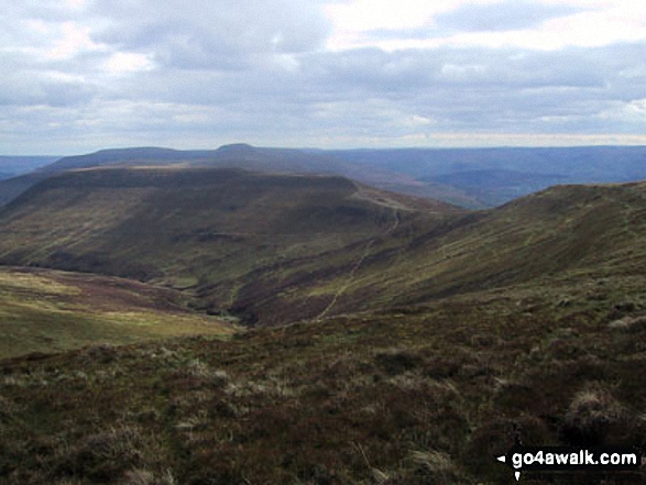
99. Pen Llithrig y Wrach
799m (2,622ft)
Mountain (36th in Wales, 80th in England & Wales)
Nuttall (46th in Wales, 96th in England & Wales)
Marilyn (16th in Wales, 395th in GB)
To walk, climb & bag Pen Llithrig y Wrach use any of these easy-to-follow walks:
See the location of Pen Llithrig y Wrach and walks up it on a google MapPen Llithrig y Wrach is on interactive maps:
OS Explorer (Orange Covers): OL17
OS Landranger (Pink Covers): 115
Pen Llithrig y Wrach is on downloadable PDF you can Print or Save to your Phone:
|
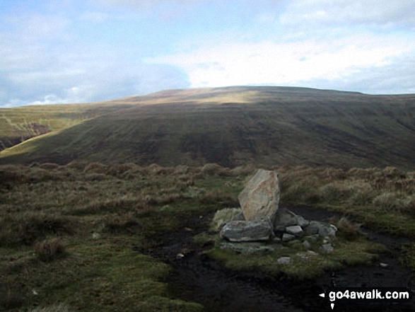
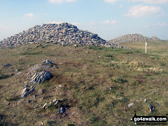
100. Pen Pumlumon Arwystli
741m (2,431ft)
Mountain (54th in Wales, 127th in England & Wales)
Nuttall (66th in Wales, 156th in England & Wales)
To walk, climb & bag Pen Pumlumon Arwystli use this easy-to-follow walk:
See the location of Pen Pumlumon Arwystli and walks up it on a google MapPen Pumlumon Arwystli is on interactive maps:
OS Explorer (Orange Covers): 213
OS Landranger (Pink Covers): 135
A downloadable go4awalk.com PDF Peak Bagging Map featuring Pen Pumlumon Arwystli will be available soon. |
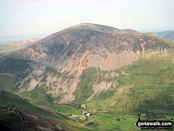
101. Pen Pumlumon Fawr (Plynlimon)
752m (2,468ft)
Mountain (49th in Wales, 118th in England & Wales)
Nuttall (61st in Wales, 145th in England & Wales)
Marilyn (22nd in Wales, 479th in GB)
OS Trig Point
Pen Pumlumon Fawr (Plynlimon) is the highest point in the county of Ceredigion.
To walk, climb & bag Pen Pumlumon Fawr (Plynlimon) use this easy-to-follow walk:
See the location of Pen Pumlumon Fawr (Plynlimon) and walks up it on a google MapPen Pumlumon Fawr (Plynlimon) is on interactive maps:
OS Explorer (Orange Covers): 213
OS Landranger (Pink Covers): 135
A downloadable go4awalk.com PDF Peak Bagging Map featuring Pen Pumlumon Fawr (Plynlimon) will be available soon. |
102. Pen Pumlumon Llygad-bychan
727m (2,386ft)
Mountain (58th in Wales, 140th in England & Wales)
Nuttall (72nd in Wales, 174th in England & Wales)
To walk, climb & bag Pen Pumlumon Llygad-bychan use this easy-to-follow walk:
See the location of Pen Pumlumon Llygad-bychan and walks up it on a google MapPen Pumlumon Llygad-bychan is on interactive maps:
OS Explorer (Orange Covers): 213
OS Landranger (Pink Covers): 135
A downloadable go4awalk.com PDF Peak Bagging Map featuring Pen Pumlumon Llygad-bychan will be available soon. |
103. Pen y Boncyn Trefeilw
646m (2,120ft)
Mountain (107th in Wales, 259th in England & Wales)
Nuttall (144th in Wales, 340th in England & Wales)
To walk, climb & bag Pen y Boncyn Trefeilw use either of these easy-to-follow walks:
See the location of Pen y Boncyn Trefeilw and walks up it on a google MapPen y Boncyn Trefeilw is on interactive maps:
OS Explorer (Orange Covers): OL23
OS Landranger (Pink Covers): 125
Pen y Boncyn Trefeilw is on downloadable PDF you can Print or Save to your Phone:
|
104. Pen y Brynfforchog
685m (2,247ft)
Mountain (77th in Wales, 190th in England & Wales)
Nuttall (101st in Wales, 248th in England & Wales)
To walk, climb & bag Pen y Brynfforchog use this easy-to-follow walk:
See the location of Pen y Brynfforchog and walks up it on a google MapPen y Brynfforchog is on interactive maps:
OS Explorer (Orange Covers): OL23
OS Landranger (Pink Covers): 124
Pen y Brynfforchog is on downloadable PDF you can Print or Save to your Phone:
|
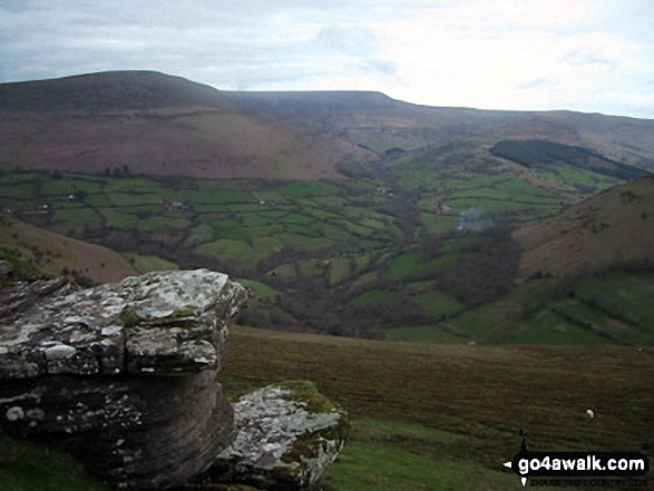
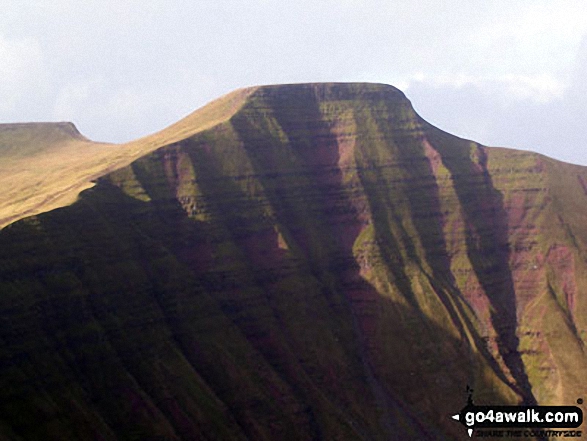
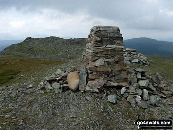
105. Pen y Fan
886m (2,907ft)
Mountain (19th in Wales, 31st in England & Wales)
Nuttall (21st in Wales, 36th in England & Wales)
Marilyn (10th in Wales, 259th in GB)
OS Trig Point
Pen y Fan is the highest point in The Brecon Beacons National Park and the highest point in the county of Powys.
To walk, climb & bag Pen y Fan use any of these easy-to-follow walks:
See the location of Pen y Fan and walks up it on a google MapPen y Fan is on interactive maps:
OS Explorer (Orange Covers): OL12
OS Landranger (Pink Covers): 160
Pen y Fan is on downloadable PDF you can Print or Save to your Phone:
|
106. Pen y Gadair Fawr
800m (2,625ft)
Mountain (35th in Wales, 79th in England & Wales)
Nuttall (45th in Wales, 95th in England & Wales)
To walk, climb & bag Pen y Gadair Fawr use either of these easy-to-follow walks:
See the location of Pen y Gadair Fawr and walks up it on a google MapPen y Gadair Fawr is on interactive maps:
OS Explorer (Orange Covers): OL13
OS Landranger (Pink Covers): 161
Pen y Gadair Fawr is on downloadable PDF you can Print or Save to your Phone:
|
107. Pen y Garn (Bryn Garw)
611m (2,002ft)
Mountain (134th in Wales, 314th in England & Wales)
Nuttall (186th in Wales, 436th in England & Wales)
Marilyn (53rd in Wales, 750th in GB)
OS Trig Point
To walk, climb & bag Pen y Garn (Bryn Garw) use this easy-to-follow walk:
See the location of Pen y Garn (Bryn Garw) and walks up it on a google MapPen y Garn (Bryn Garw) is on interactive maps:
OS Explorer (Orange Covers): 213
OS Landranger (Pink Covers): 135
A downloadable go4awalk.com PDF Peak Bagging Map featuring Pen y Garn (Bryn Garw) will be available soon. |
108. Pen yr Allt Uchaf
630m (2,067ft)
Mountain (124th in Wales, 293rd in England & Wales)
Nuttall (157th in Wales, 372nd in England & Wales)
To walk, climb & bag Pen yr Allt Uchaf use this easy-to-follow walk:
See the location of Pen yr Allt Uchaf and walks up it on a google MapPen yr Allt Uchaf is on interactive maps:
OS Explorer (Orange Covers): OL23
OS Landranger (Pink Covers): 124
Pen yr Allt Uchaf is on downloadable PDF you can Print or Save to your Phone:
|
109. Pen yr Helgi Du
833m (2,734ft)
Mountain (26th in Wales, 57th in England & Wales)
Nuttall (30th in Wales, 66th in England & Wales)
To walk, climb & bag Pen yr Helgi Du use any of these easy-to-follow walks:
See the location of Pen yr Helgi Du and walks up it on a google MapPen yr Helgi Du is on interactive maps:
OS Explorer (Orange Covers): OL17
OS Landranger (Pink Covers): 115
Pen yr Helgi Du is on downloadable PDF you can Print or Save to your Phone:
|
110. Pen yr Ole Wen
978m (3,210ft)
Mountain (7th in Wales, 7th in England & Wales)
Nuttall (7th in Wales, 7th in England & Wales)
To walk, climb & bag Pen yr Ole Wen use any of these easy-to-follow walks:
See the location of Pen yr Ole Wen and walks up it on a google MapPen yr Ole Wen is on interactive maps:
OS Explorer (Orange Covers): OL17
OS Landranger (Pink Covers): 115
Pen yr Ole Wen is on downloadable PDF you can Print or Save to your Phone:
|
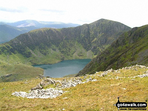
111. Picws Du (Bannau Sir Gaer)
749m (2,458ft)
Mountain (52nd in Wales, 121st in England & Wales)
Nuttall (64th in Wales, 148th in England & Wales)
To walk, climb & bag Picws Du (Bannau Sir Gaer) use any of these easy-to-follow walks:
See the location of Picws Du (Bannau Sir Gaer) and walks up it on a google MapPicws Du (Bannau Sir Gaer) is on interactive maps:
OS Explorer (Orange Covers): OL12
OS Landranger (Pink Covers): 160
Picws Du (Bannau Sir Gaer) is on downloadable PDF you can Print or Save to your Phone:
|
112. Post Gwyn
665m (2,182ft)
Mountain (92nd in Wales, 223rd in England & Wales)
Nuttall (122nd in Wales, 297th in England & Wales)
To walk, climb & bag Post Gwyn use either of these easy-to-follow walks:
See the location of Post Gwyn and walks up it on a google MapPost Gwyn is on interactive maps:
OS Explorer (Orange Covers): 255
OS Landranger (Pink Covers): 125
Post Gwyn is on downloadable PDF you can Print or Save to your Phone:
|
113. Rhinog Fach
712m (2,337ft)
Mountain (63rd in Wales, 156th in England & Wales)
Nuttall (82nd in Wales, 198th in England & Wales)
Marilyn (31st in Wales, 559th in GB)
Rhinog Fach was promoted to Marilyn status in August, 2021
To walk, climb & bag Rhinog Fach use this easy-to-follow walk:
See the location of Rhinog Fach and walks up it on a google MapRhinog Fach is on interactive maps:
OS Explorer (Orange Covers): OL18
OS Landranger (Pink Covers): 124
Rhinog Fach is on downloadable PDF you can Print or Save to your Phone:
|
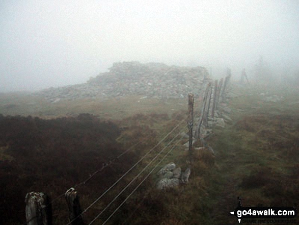
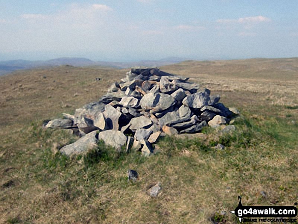
114. Rhinog Fawr
720m (2,363ft)
Mountain (61st in Wales, 148th in England & Wales)
Nuttall (77th in Wales, 185th in England & Wales)
Marilyn (30th in Wales, 548th in GB)
OS Trig Point
To walk, climb & bag Rhinog Fawr use this easy-to-follow walk:
See the location of Rhinog Fawr and walks up it on a google MapRhinog Fawr is on interactive maps:
OS Explorer (Orange Covers): OL18
OS Landranger (Pink Covers): 124
Rhinog Fawr is on downloadable PDF you can Print or Save to your Phone:
|
115. Rhobell Fawr
734m (2,408ft)
Mountain (57th in Wales, 137th in England & Wales)
Nuttall (71st in Wales, 169th in England & Wales)
Marilyn (27th in Wales, 518th in GB)
OS Trig Point
To walk, climb & bag Rhobell Fawr use this easy-to-follow walk:
See the location of Rhobell Fawr and walks up it on a google MapRhobell Fawr is on interactive maps:
OS Explorer (Orange Covers): OL23
OS Landranger (Pink Covers): 124
Rhobell Fawr is on downloadable PDF you can Print or Save to your Phone:
|
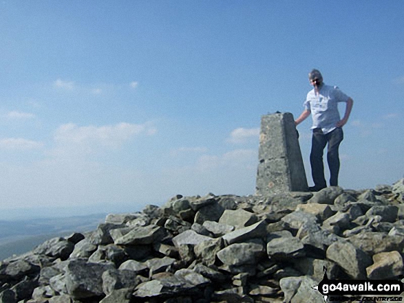
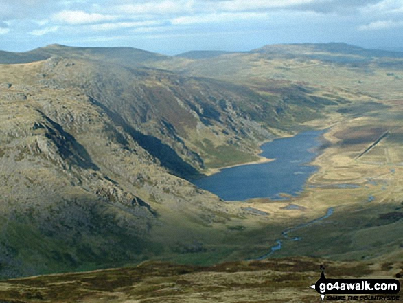
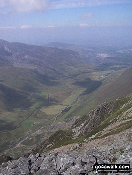
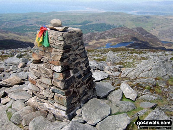
116. Snowdon (Yr Wyddfa)
1,085m (3,561ft)
Mountain (1st in Wales, 1st in England & Wales)
Nuttall (1st in Wales, 1st in England & Wales)
Marilyn (1st in Wales, 43rd in GB)
OS Trig Point
Snowdon (Yr Wyddfa) is the highest point in the county of Gwynedd, the highest point in Snowdonia National Park and the highest point in England and Wales.
To walk, climb & bag Snowdon (Yr Wyddfa) use any of these easy-to-follow walks:
See the location of Snowdon (Yr Wyddfa) and walks up it on a google MapSnowdon (Yr Wyddfa) is on interactive maps:
OS Explorer (Orange Covers): OL17
OS Landranger (Pink Covers): 115
Snowdon (Yr Wyddfa) is on downloadable PDF you can Print or Save to your Phone:
|
117. Tal y Fan
610m (2,002ft)
Mountain (135th in Wales, 315th in England & Wales)
Nuttall (187th in Wales, 437th in England & Wales)
Marilyn (54th in Wales, 751st in GB)
OS Trig Point
To walk, climb & bag Tal y Fan use any of these easy-to-follow walks:
See the location of Tal y Fan and walks up it on a google MapTal y Fan is on interactive maps:
OS Explorer (Orange Covers): OL17
OS Landranger (Pink Covers): 115
Tal y Fan is on downloadable PDF you can Print or Save to your Phone:
|
118. Tarren y Gesail
667m (2,189ft)
Mountain (91st in Wales, 222nd in England & Wales)
Nuttall (121st in Wales, 295th in England & Wales)
Marilyn (43rd in Wales, 661st in GB)
OS Trig Point
To walk, climb & bag Tarren y Gesail use this easy-to-follow walk:
See the location of Tarren y Gesail and walks up it on a google MapTarren y Gesail is on interactive maps:
OS Explorer (Orange Covers): OL23
OS Landranger (Pink Covers): 124
Tarren y Gesail is on downloadable PDF you can Print or Save to your Phone:
|
119. Tarrenhendre
634m (2,081ft)
Mountain (111th in Wales, 268th in England & Wales)
Nuttall (151st in Wales, 360th in England & Wales)
Marilyn (48th in Wales, 712th in GB)
To walk, climb & bag Tarrenhendre use either of these easy-to-follow walks:
See the location of Tarrenhendre and walks up it on a google MapTarrenhendre is on interactive maps:
OS Explorer (Orange Covers): OL23
OS Landranger (Pink Covers): 135
Tarrenhendre is on downloadable PDF you can Print or Save to your Phone:
|
120. Trum y Ddysgl
709m (2,327ft)
Mountain (65th in Wales, 160th in England & Wales)
Nuttall (84th in Wales, 202nd in England & Wales)
Marilyn (32nd in Wales, 572nd in GB)
To walk, climb & bag Trum y Ddysgl use any of these easy-to-follow walks:
See the location of Trum y Ddysgl and walks up it on a google MapTrum y Ddysgl is on interactive maps:
OS Explorer (Orange Covers): OL17
OS Landranger (Pink Covers): 115
Trum y Ddysgl is on downloadable PDF you can Print or Save to your Phone:
|
Page 4 of 5 Go to page:
1 2 3 4 5 |
View these 136 Mountains, Peaks, Tops and Hills:
Is there a Mountain, Peak, Top or Hill missing from the above google map or list?
Let us know an we will add it to our database.


 Snowdon (Yr Wyddfa) in The Moel Hebog areaWales


