|
Vital Statistics:
| Length: | 12mls (19km) |
| Ascent: | 2,637ft (804m) |
| Time: | 7hrs |
| Grade: |  |
Route outline for walk po129:
Nuadd-fawr - Llanbedr - Darren Fach - Pen Twyn Glas - Mynydd Llysiau - Pen Trumau - Waun Fach - Pen y Gadair Fawr - Pen Twyn Mawr - Pen Gwyllt Meirch - Nantyrychain - Cwm Farm - Nuadd-fawr
Peaks, Summits and Tops reached on this walk:
 3 Welsh Mountains |
 0 Wainwrights |
 5 Welsh Nuttalls |
 0 Welsh Deweys |
 0 Wainwright Outlying Fells |
 1 Welsh Marilyn |
 0 Bridgets |
Peak Bagging Statistics for this walk:
The highest point of this walk is Waun Fach at 811m (2662ft). Waun Fach is classified as a Welsh Mountain (Hewitt) (32nd highest in Wales, 69th highest in England & Wales)
Waun Fach is also known as a Welsh Nuttall (40th highest in Wales, 83rd highest in England & Wales) and a Welsh Marilyn (14th highest in Wales, 368th highest in the UK).
The summit of Waun Fach is marked by an Ordnance Survey Trig Point.
Completing this walk will also take you to the top of Pen y Gadair Fawr at 800m (2625ft). Pen y Gadair Fawr is classified as a Welsh Mountain (Hewitt) (35th highest in Wales, 79th highest in England & Wales)
Pen y Gadair Fawr is also known as a Welsh Nuttall (45th highest in Wales, 95th highest in England & Wales).
You will also reach the summit of Mynydd Llysiau at 663m (2175ft). Mynydd Llysiau is classified as a Welsh Mountain (Hewitt) (94th highest in Wales, 227th highest in England & Wales)
Mynydd Llysiau is also known as a Welsh Nuttall (125th highest in Wales, 303rd highest in England & Wales).
Along the way you will also bag:
- Pen Twyn Mawr at 658m (2160ft). Pen Twyn Mawr is known as a Welsh Nuttall (135th highest in Wales, 317th highest in England & Wales).
- Pen Twyn Glas at 646m (2120ft). Pen Twyn Glas is known as a Welsh Nuttall (143rd highest in Wales, 339th highest in England & Wales).
You can find this walk and other nearby walks on these unique free-to-access Interactive Walk Planning Maps:
1:25,000 scale OS Explorer Map (orange/yellow covers):
1:50,000 scale OS Landranger Map (pink/magenta covers):
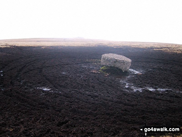
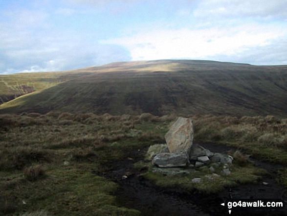
Some Photos and Pictures from Walk po129 The Grwyne Fechan Round
In no particular order . . .
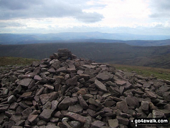
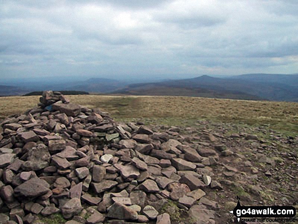
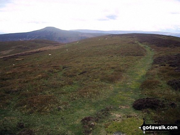
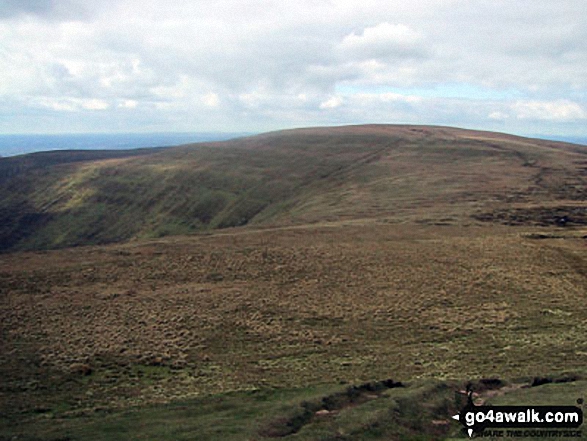
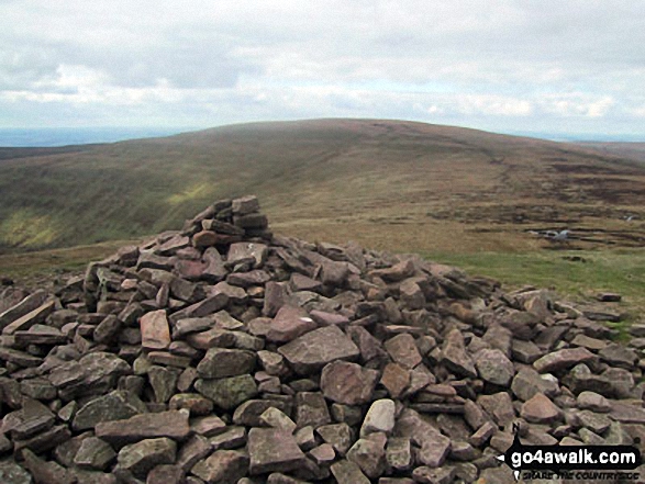
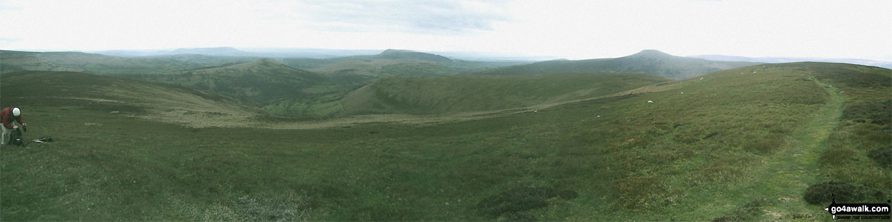
Pen Cerrig-calch, Pen Allt-mawr, Tal-Trwynau, Pen Twyn Glas, Mynydd Llysiau and Pen Trumau from Waun Fach
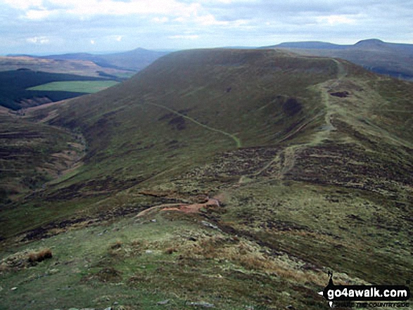
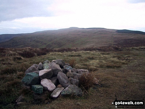
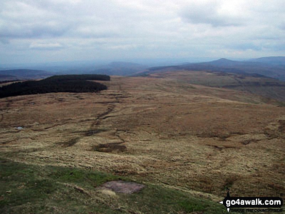
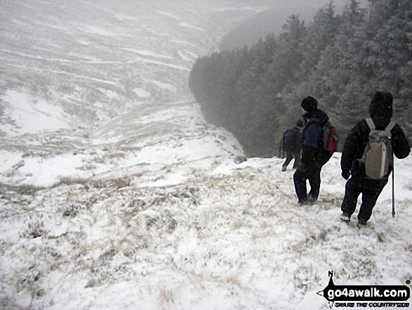
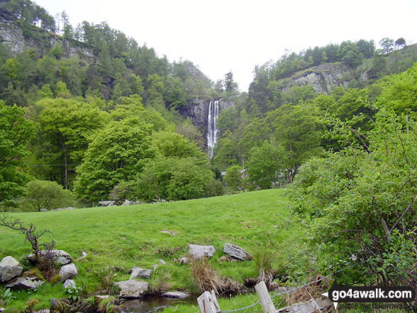
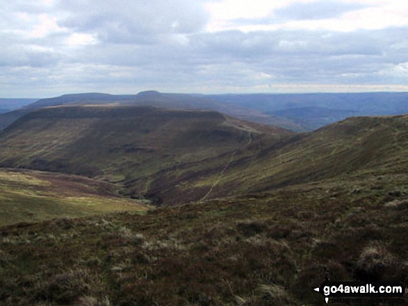
Descending in to the Grwyne Fawr Valley from Pen y Gadair Fawr in The Black Mountains
. . . load all 27 walk photos from Walk po129 The Grwyne Fechan Round
Send us your photographs and pictures from your walks and hikes
We would love to see your photographs and pictures from walk po129 The Grwyne Fechan Round. Send them in to us as email attachments (configured for any computer) along with your name and where the picture was taken to:
and we shall do our best to publish them.
(Guide Resolution = 300dpi. At least = 660 pixels (wide) x 440 pixels (high).)

You can also submit photos from walk po129 The Grwyne Fechan Round via our Facebook Page.
NB. Please indicate where each photo was taken.