Walk po123 Fan Hir, Fan Brycheiniog, Picws Du (Bannau Sir Gaer), Waun Lefrith (Bannau Sir Gaer) and Garreg Las from Glyntawe
This 15 mile, Grade 8 (Hard), easy-to-follow, hand-crafted walk, complete with GPS Waypoints, starts at Glyntawe & will take about 9¼ hrs to complete.
   |
Vital Statistics:
| Length: | 15mls (24km) |
| Ascent: | 3,673ft (1,119m) |
| Time: | 9¼hrs |
| Grade: |  |
Route outline for walk po123:
Glyntawe - Afon Tawe - Ty Hendrey - Allt Fach - Fan Fechan - Fan Hir - Bwlch Giedd - The Beacons Way - Fan Brycheiniog (Twr y Fan Foel) - Fan Foel - Tro'r Fan Foel - Bwlch Blaen Twrch - Pant y Bwlch - Picws Du (Bannau Sir Gaer) - Glastir y Picws - Cwar Du Mawr - Cwar Du Bach - Waun Lefrith (Bannau Sir Gaer) - Afon Mihartfach - Carreg yr Ogof - Garreg Las (Twyn Swnd) - Pen Rhiw-goch - Twrch Fechan - Cwterydd Blaen-Twrch Fechag - Esgair Ddu (Black Mountains) - Carnau Nant-Menyn - Nant Lluestau - Afon Twrch - Afon Giedd - Pwll y Cig - Waun Fignen Felen - Disgwylfa - Twynwalter - Twyn Spratt - Afon Haffes - Dan-yr-Ogog Campsite and Showcaves - Glyntawe
Peaks, Summits and Tops reached on this walk:
 4 Welsh Mountains |
 0 Wainwrights |
 5 Welsh Nuttalls |
 0 Welsh Deweys |
 0 Wainwright Outlying Fells |
 2 Welsh Marilyns |
 2 Bridgets |
Peak Bagging Statistics for this walk:
The highest point of this walk is Fan Brycheiniog (Twr y Fan Foel) at 802m (2632ft). Fan Brycheiniog (Twr y Fan Foel) is classified as a Welsh Mountain (Hewitt) (34th highest in Wales, 76th highest in England & Wales)
Fan Brycheiniog (Twr y Fan Foel) is also known as a Welsh Nuttall (43rd highest in Wales, 91st highest in England & Wales) and a Welsh Marilyn (15th highest in Wales, 390th highest in the UK).
The summit of Fan Brycheiniog (Twr y Fan Foel) is marked by a cairn 300m NNE of the Trig Point..
Completing this walk will also take you to the top of Fan Foel at 780m (2559ft). Fan Foel is known as a Welsh Bridget. Fan Foel is the highest point in the county of Carmarthanshire.
You will also reach the summit of Fan Hir at 760m (2494ft). Fan Hir is classified as a Welsh Mountain (Hewitt) (46th highest in Wales, 112th highest in England & Wales)
Fan Hir is also known as a Welsh Nuttall (57th highest in Wales, 136th highest in England & Wales).
Along the way you will also bag and tick-off:
- Picws Du (Bannau Sir Gaer) at 749m (2458ft). Picws Du (Bannau Sir Gaer) is classified as a Welsh Mountain (Hewitt) (52nd Wales, 121st Eng & Wal) and a Welsh Nuttall (64th highest in Wales, 148th highest in England & Wales).
- Waun Lefrith (Bannau Sir Gaer) at 677m (2221ft). Waun Lefrith (Bannau Sir Gaer) is known as a Welsh Nuttall (110th highest in Wales, 264th highest in England & Wales).
- Garreg Las (Twyn Swnd) at 635m (2084ft). Garreg Las (Twyn Swnd) is classified as a Welsh Mountain (Hewitt) (109th Wales, 266th Eng & Wal) and a Welsh Nuttall (150th highest in Wales, 357th highest in England & Wales).
- Twynwalter at 509m (1670ft). Twynwalter is known as a Welsh Bridget. The summit of Twynwalter is marked by a small cairn..
- Esgair Ddu (Cambrian Mountains) at 464m (1522ft). and a Welsh Marilyn (97th highest in Wales, 1074th highest in the UK).
National Trails & Long Paths included on this walk:
Part of this walk follows a section of The Beacons Way, a 158km (98 miles) linear footpath connecting Abergavenny in Monmouthshire, with Llangadog in Carmarthenshire, England. The Beacons Way is waymarked by named posts with a mountains and river motif. For more walks that include a section of this trail see The Beacons Way.
You can find this walk and other nearby walks on these unique Interactive Walk Planning Maps:
(worth a look if you're new to go4awalk.com & have never seen one of these before.)
1:25,000 scale OS Explorer Map (orange/yellow covers):
1:50,000 scale OS Landranger Map (pink/magenta covers):
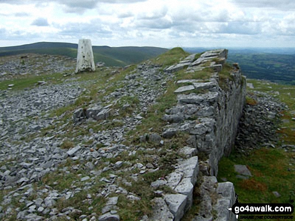
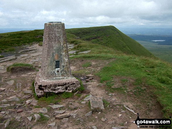
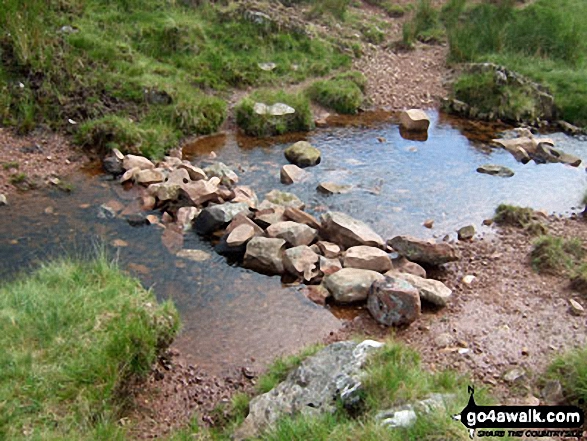
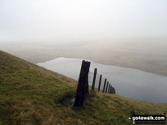
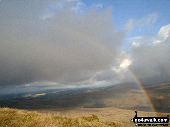
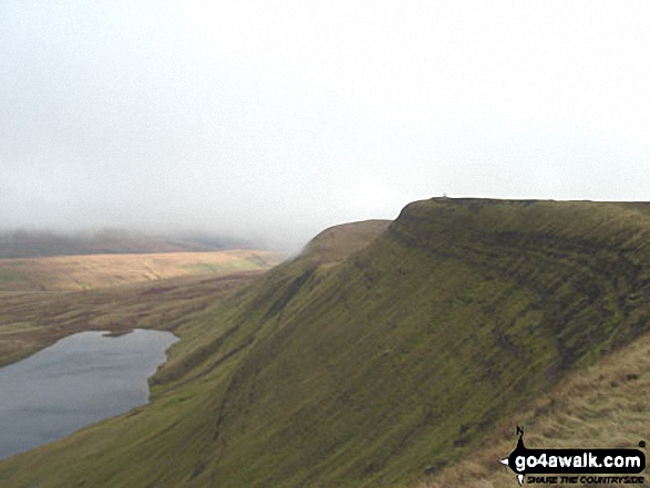
Some Photos and Pictures from Walk po123 Fan Hir, Fan Brycheiniog, Picws Du (Bannau Sir Gaer), Waun Lefrith (Bannau Sir Gaer) and Garreg Las from Glyntawe
In no particular order . . .
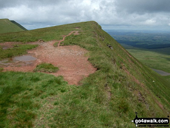
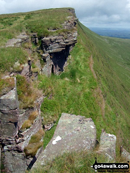
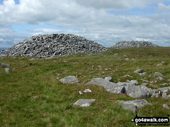

Carmarthen Fan - Fan Foel and Picws Du (Bannau Sir Gaer) with Llyn y Fan Fach below from Waun Lefrith (Bannau Sir Gaer)
Send us your photographs and pictures from your walks and hikes
We would love to see your photographs and pictures from walk po123 Fan Hir, Fan Brycheiniog, Picws Du (Bannau Sir Gaer), Waun Lefrith (Bannau Sir Gaer) and Garreg Las from Glyntawe. Send them in to us as email attachments (configured for any computer) along with your name and where the picture was taken to:
and we shall do our best to publish them.
(Guide Resolution = 300dpi. At least = 660 pixels (wide) x 440 pixels (high).)

You can also submit photos from walk po123 Fan Hir, Fan Brycheiniog, Picws Du (Bannau Sir Gaer), Waun Lefrith (Bannau Sir Gaer) and Garreg Las from Glyntawe via our Facebook Page.
NB. Please indicate where each photo was taken.

To contribute to go4awalk.com or to contact us about anything at all - see Talk To Us.
For help see Help.
go4awalk.com and go4awalk.co.uk are registered trademarks of TMDH Limited.
Copyright © 2000-2026 TMDH Limited. All rights reserved.
Copyright Terms & Conditions Privacy Statement
A - Z Walks Home Log On/Accounts Photo Gallery Walk Ideas and Collections Fell Facts Hill Skills Walking Questions and Answers Your Stories News Competitions Product Reviews/Gear Tests Walking Gear Guides Peaks and Mountains Peak Bagging Find New Walking Friends Camping GPS Waypoints for Walking Contents Walk Search Talk To Us go4awalk.com Help Free Example Walks Newsletter


