Walk gw145 Pen y Boncyn Trefeilw and Foel Cedig from Hirnant Pass
This 10½ mile, Grade 6 (Moderate), easy-to-follow, hand-crafted walk, complete with GPS Waypoints, starts at Hirnant Pass & will take about 6 hrs to complete.
   |
Vital Statistics:
| Length: | 10½mls (17km) |
| Ascent: | 2,081ft (634m) |
| Time: | 6hrs |
| Grade: |  |

Route outline for walk gw145:
Hirnant Pass - Pen y Cerrig - Pen y Boncyn Trefeilw - Stac Rhos - Cefn Gwyntog - Foel Cedig - Cyrniau Nod - Y Groes Fagl - Pennllyn Forest - Ystrad-y-groes - Hirnant Pass
Peaks, Summits and Tops reached on this walk:
 2 Welsh Mountains |
 0 Wainwrights |
 5 Welsh Nuttalls |
 0 Welsh Deweys |
 0 Wainwright Outlying Fells |
 1 Welsh Marilyn |
 1 Bridget |
Peak Bagging Statistics for this walk:
The highest point of this walk is Foel Cedig at 668m (2192ft). Foel Cedig is classified as a Welsh Mountain (Hewitt) (90th highest in Wales, 219th highest in England & Wales)
Foel Cedig is also known as a Welsh Nuttall (120th highest in Wales, 291st highest in England & Wales) and a Welsh Marilyn (42nd highest in Wales, 656th highest in the UK).
Completing this walk will also take you to the top of Cyrniau Nod at 666m (2185ft). Cyrniau Nod is known as a Welsh Bridget.
You will also reach the summit of Y Groes Fagl at 659m (2163ft). Y Groes Fagl is also known as a Welsh Nuttall (131st highest in Wales, 312th highest in England & Wales).
Along the way you will also bag and tick-off:
- Pen y Boncyn Trefeilw at 646m (2120ft). Pen y Boncyn Trefeilw is classified as a Welsh Mountain (Hewitt) (107th Wales, 259th Eng & Wal) and a Welsh Nuttall (144th highest in Wales, 340th highest in England & Wales).
- Stac Rhos at 630m (2067ft). Stac Rhos is known as a Welsh Nuttall (158th highest in Wales, 373rd highest in England & Wales).
- Cefn Gwyntog at 614m (2015ft). Cefn Gwyntog is known as a Welsh Nuttall (179th highest in Wales, 422nd highest in England & Wales).
You can find this walk and other nearby walks on these unique Interactive Walk Planning Maps:
(worth a look if you're new to go4awalk.com & have never seen one of these before.)
1:25,000 scale OS Explorer Maps (orange/yellow covers):
1:50,000 scale OS Landranger Map (pink/magenta covers):
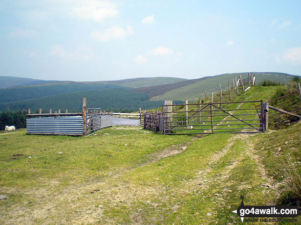
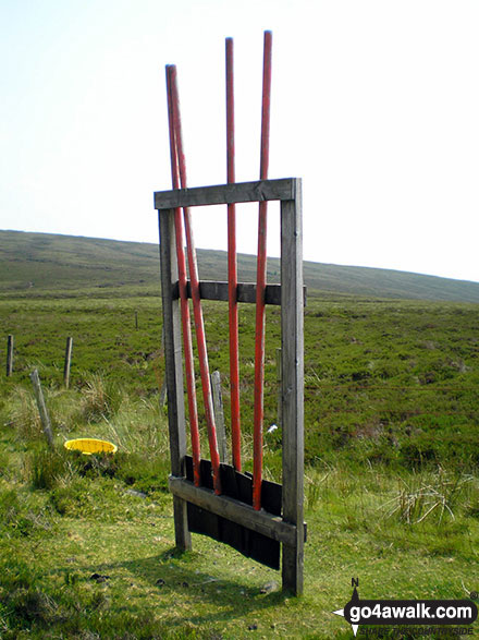
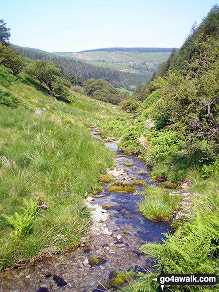
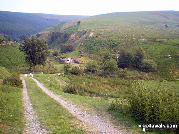
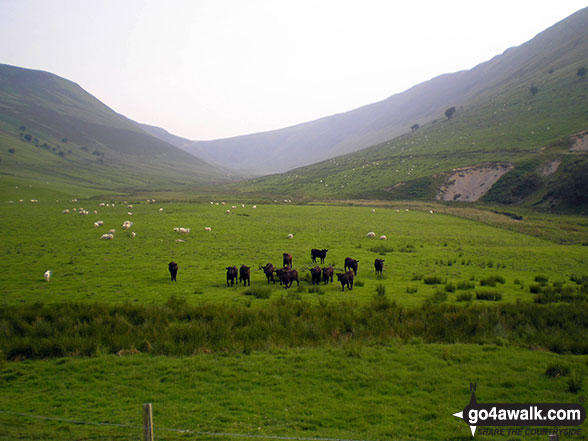
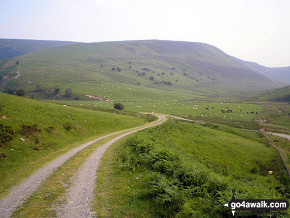
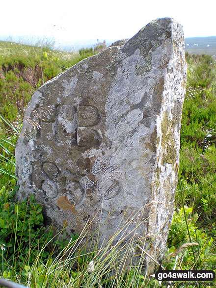
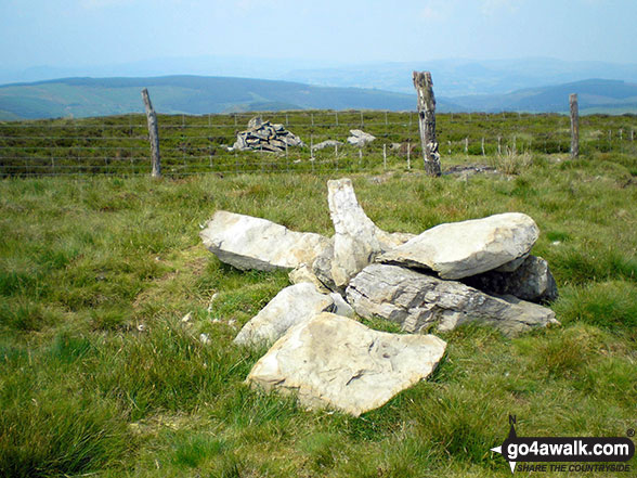
Some Photos and Pictures from Walk gw145 Pen y Boncyn Trefeilw and Foel Cedig from Hirnant Pass
In no particular order . . .


. . . load all 22 walk photos from Walk gw145 Pen y Boncyn Trefeilw and Foel Cedig from Hirnant Pass
Send us your photographs and pictures from your walks and hikes
We would love to see your photographs and pictures from walk gw145 Pen y Boncyn Trefeilw and Foel Cedig from Hirnant Pass. Send them in to us as email attachments (configured for any computer) along with your name and where the picture was taken to:
and we shall do our best to publish them.
(Guide Resolution = 300dpi. At least = 660 pixels (wide) x 440 pixels (high).)

You can also submit photos from walk gw145 Pen y Boncyn Trefeilw and Foel Cedig from Hirnant Pass via our Facebook Page.
NB. Please indicate where each photo was taken.
To contribute to go4awalk.com or to contact us about anything at all - see Talk To Us.
For help see Help.
go4awalk.com and go4awalk.co.uk are registered trademarks of TMDH Limited.
Copyright © 2000-2026 TMDH Limited. All rights reserved.
Copyright Terms & Conditions Privacy Statement
A - Z Walks Home Log On/Accounts Photo Gallery Walk Ideas and Collections Fell Facts Hill Skills Walking Questions and Answers Your Stories News Competitions Product Reviews/Gear Tests Walking Gear Guides Peaks and Mountains Peak Bagging Find New Walking Friends Camping GPS Waypoints for Walking Contents Walk Search Talk To Us go4awalk.com Help Free Example Walks Newsletter


