Walk po153 Pen Cerrig-calch and Waun Fach from Nuadd-fawr
This 13½ mile, Grade 8 (Hard), easy-to-follow, hand-crafted walk, complete with GPS Waypoints, starts at Nuadd-fawr & will take about 8 hrs to complete.
   |
Vital Statistics:
| Length: | 13½mls (21.5km) |
| Ascent: | 3,175ft (968m) |
| Time: | 8hrs |
| Grade: |  |

Route outline for walk po153:
Nuadd-fawr - Llanbedr - Table Mountain (Pen Cerrig-calch) - Trwyn Ysgwrfa - Pen Cerrig-calch - Pen Allt-mawr - Pen Twyn Glas - Mynydd Llysiau - Pen Trumau - Waun Fach - Pen y Gadair Fawr - Pen Twyn Mawr - Pen Gwyllt Meirch - Nantyrychain - Cwm Farm - Nuadd-fawr
Peaks, Summits and Tops reached on this walk:
 5 Welsh Mountains |
 0 Wainwrights |
 7 Welsh Nuttalls |
 0 Welsh Deweys |
 0 Wainwright Outlying Fells |
 1 Welsh Marilyn |
 0 Bridgets |
Peak Bagging Statistics for this walk:
The highest point of this walk is Waun Fach at 811m (2662ft). Waun Fach is classified as a Welsh Mountain (Hewitt) (32nd highest in Wales, 69th highest in England & Wales)
Waun Fach is also known as a Welsh Nuttall (40th highest in Wales, 83rd highest in England & Wales) and a Welsh Marilyn (14th highest in Wales, 368th highest in the UK).
The summit of Waun Fach is marked by an Ordnance Survey Trig Point.
Completing this walk will also take you to the top of Pen y Gadair Fawr at 800m (2625ft). Pen y Gadair Fawr is classified as a Welsh Mountain (Hewitt) (35th highest in Wales, 79th highest in England & Wales)
Pen y Gadair Fawr is also known as a Welsh Nuttall (45th highest in Wales, 95th highest in England & Wales).
You will also reach the summit of Pen Allt-mawr at 719m (2362ft). Pen Allt-mawr is classified as a Welsh Mountain (Hewitt) (62nd highest in Wales, 150th highest in England & Wales)
Pen Allt-mawr is also known as a Welsh Nuttall (78th highest in Wales, 186th highest in England & Wales). The summit of Pen Allt-mawr is marked by an Ordnance Survey Trig Point.
Along the way you will also bag and tick-off:
- Pen Cerrig-calch at 701m (2300ft). Pen Cerrig-calch is classified as a Welsh Mountain (Hewitt) (67th Wales, 172nd Eng & Wal) and a Welsh Nuttall (86th highest in Wales, 217th highest in England & Wales). The summit of Pen Cerrig-calch is marked by an Ordnance Survey Trig Point.
- Mynydd Llysiau at 663m (2175ft). Mynydd Llysiau is classified as a Welsh Mountain (Hewitt) (94th Wales, 227th Eng & Wal) and a Welsh Nuttall (125th highest in Wales, 303rd highest in England & Wales).
- Pen Twyn Mawr at 658m (2160ft). Pen Twyn Mawr is known as a Welsh Nuttall (135th highest in Wales, 317th highest in England & Wales).
- Pen Twyn Glas at 646m (2120ft). Pen Twyn Glas is known as a Welsh Nuttall (143rd highest in Wales, 339th highest in England & Wales).
You can find this walk and other nearby walks on these unique Interactive Walk Planning Maps:
(worth a look if you're new to go4awalk.com & have never seen one of these before.)
1:25,000 scale OS Explorer Map (orange/yellow covers):
1:50,000 scale OS Landranger Map (pink/magenta covers):
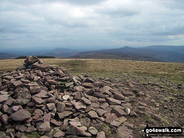
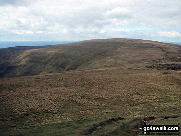
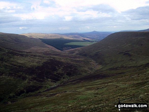
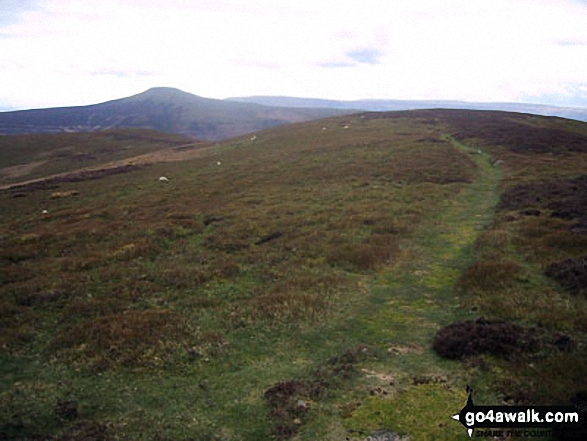
Some Photos and Pictures from Walk po153 Pen Cerrig-calch and Waun Fach from Nuadd-fawr
In no particular order . . .
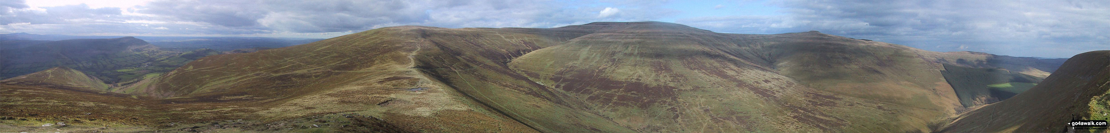
*270° Panorama featuring Pengenfford, Pen Trumau, Waun Fach, Pen y Gadair Fawr, Pen Twyn Mawr, Crug Mawr and the The Grwyne Fechan valley from Mynydd Llysiau


. . . load all 27 walk photos from Walk po153 Pen Cerrig-calch and Waun Fach from Nuadd-fawr
Send us your photographs and pictures from your walks and hikes
We would love to see your photographs and pictures from walk po153 Pen Cerrig-calch and Waun Fach from Nuadd-fawr. Send them in to us as email attachments (configured for any computer) along with your name and where the picture was taken to:
and we shall do our best to publish them.
(Guide Resolution = 300dpi. At least = 660 pixels (wide) x 440 pixels (high).)

You can also submit photos from walk po153 Pen Cerrig-calch and Waun Fach from Nuadd-fawr via our Facebook Page.
NB. Please indicate where each photo was taken.
To contribute to go4awalk.com or to contact us about anything at all - see Talk To Us.
For help see Help.
go4awalk.com and go4awalk.co.uk are registered trademarks of TMDH Limited.
Copyright © 2000-2026 TMDH Limited. All rights reserved.
Copyright Terms & Conditions Privacy Statement
A - Z Walks Home Log On/Accounts Photo Gallery Walk Ideas and Collections Fell Facts Hill Skills Walking Questions and Answers Your Stories News Competitions Product Reviews/Gear Tests Walking Gear Guides Peaks and Mountains Peak Bagging Find New Walking Friends Camping GPS Waypoints for Walking Contents Walk Search Talk To Us go4awalk.com Help Free Example Walks Newsletter


