   |
Vital Statistics:
| Length: | 11½mls (18.5km) |
| Ascent: | 4,599ft (1,402m) |
| Time: | 8¾hrs |
| Grade: |  |
Route outline for walk cw129:
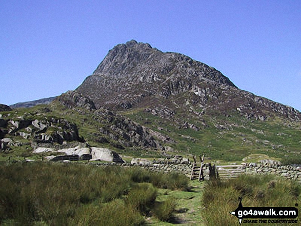
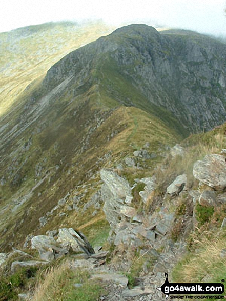
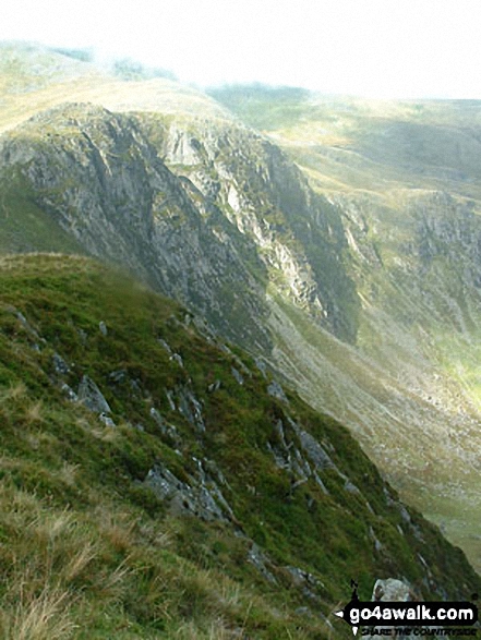
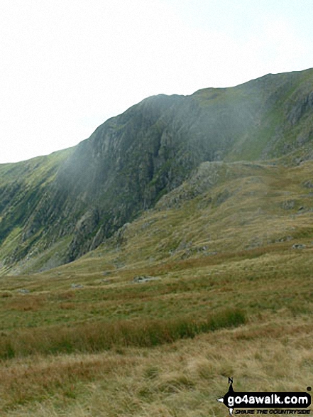
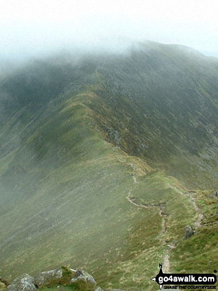
Llyn Ogwen - Glan Dena - Afon Lloer - Clogwyn Mawr - Bryn Mawr - Ffynnon Lloer - Cwm Lloer - Pen yr Ole Wen - Carnedd Dafydd - Cefn Ysgolion Duon - Bwlch Cyfryw-drum - Carnedd Llewelyn - Yr Elen - Craig Yr Ysfa - Bwlch Eryl Farchog - Pen Yr Helgi Du - Glan Dena - Llyn Ogwen
Peaks, Summits and Tops reached on this walk:
 5 Welsh Mountains |
 0 Wainwrights |
 5 Welsh Nuttalls |
 0 Welsh Deweys |
 0 Wainwright Outlying Fells |
 1 Welsh Marilyn |
 0 Bridgets |
Peak Bagging Statistics for this walk:
The highest point of this walk is Carnedd Llewelyn at 1064m (3492ft). Carnedd Llewelyn is classified as a Welsh Mountain (Hewitt) (3rd highest in Wales, 3rd highest in England & Wales)
Carnedd Llewelyn is also known as a Welsh Nuttall (3rd highest in Wales, 3rd highest in England & Wales) and a Welsh Marilyn (2nd highest in Wales, 57th highest in the UK).
Carnedd Llewelyn means 'Llewelyn's Cairn' in Welsh and is pronounced 'kan-neth thl-oo-el-lin'.
The summit of Carnedd Llewelyn is marked by a cairn. Carnedd Llewelyn is the highest point in the county of Conwy.
Completing this walk will also take you to the top of Carnedd Dafydd at 1040m (3413ft). Carnedd Dafydd is classified as a Welsh Mountain (Hewitt) (4th highest in Wales, 4th highest in England & Wales)
Carnedd Dafydd is also known as a Welsh Nuttall (4th highest in Wales, 4th highest in England & Wales). Carnedd Dafydd means 'Dafydd's Cairn' in Welsh and is pronounced 'kan-neth da-vith'.
The summit of Carnedd Dafydd is marked by a cairn & a windbreak.
You will also reach the summit of Pen yr Ole Wen at 978m (3210ft). Pen yr Ole Wen is classified as a Welsh Mountain (Hewitt) (7th highest in Wales, 7th highest in England & Wales)
Pen yr Ole Wen is also known as a Welsh Nuttall (7th highest in Wales, 7th highest in England & Wales). Pen yr Ole Wen means 'Light White Top' in Welsh and is pronounced 'pen-ur-olli-oo-en'.
The summit of Pen yr Ole Wen is marked by a cairn.
Along the way you will also bag:
- Yr Elen at 962m (3157ft). Yr Elen is classified as a Welsh Mountain (Hewitt) (9th Wales, 11th Eng & Wal) and a Welsh Nuttall (10th highest in Wales, 12th highest in England & Wales). Yr Elen means 'Fawn Hill' in Welsh and is pronounced 'ur-el-en'.
The summit of Yr Elen is marked by a cairn.
- Pen yr Helgi Du at 833m (2734ft). Pen yr Helgi Du is classified as a Welsh Mountain (Hewitt) (26th Wales, 57th Eng & Wal) and a Welsh Nuttall (30th highest in Wales, 66th highest in England & Wales). Pen yr Helgi Du means 'Hill of the Black Dog' in Welsh and is pronounced 'pen-ur-hell-gi-dee'.
The summit of Pen yr Helgi Du is marked by a beehive shaped cairn.
You can find this walk and other nearby walks on these unique free-to-access Interactive Walk Planning Maps:
1:25,000 scale OS Explorer Map (orange/yellow covers):
1:50,000 scale OS Landranger Map (pink/magenta covers):
Some Photos and Pictures from Walk cw129 The Welsh 3000's (Carneddau) from Glan Dena, Llyn Ogwen
In no particular order . . .
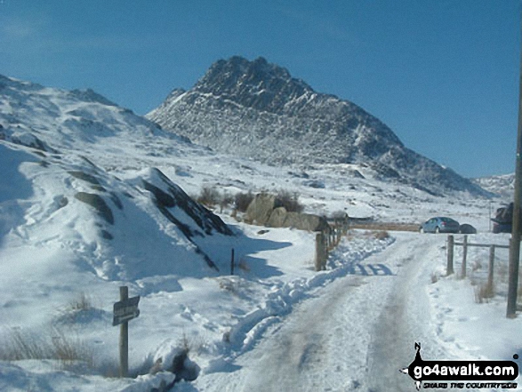
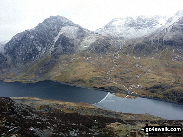
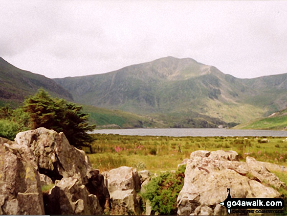
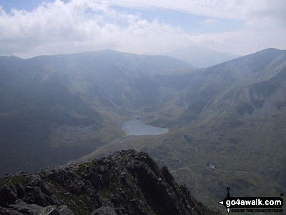
A sprinkling of snow on Tryfan (left) and Glyder Fach (right) above Llyn Ogwen from Pen yr Ole Wen
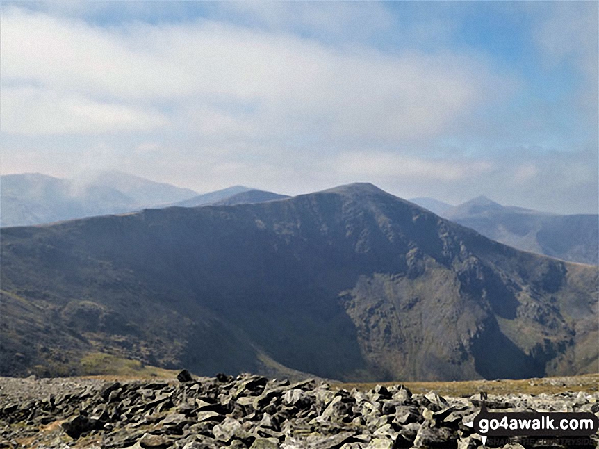
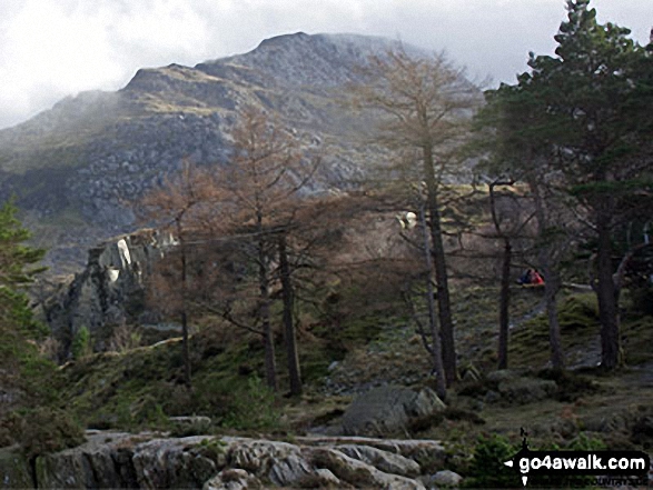
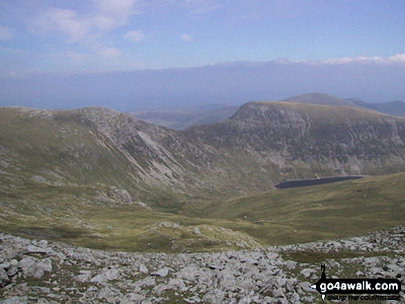
Looking over to Carnedd Dafydd with The Glyderau and Snowdon (Yr Wyddfa) in the distance (left) from Carnedd Llewelyn
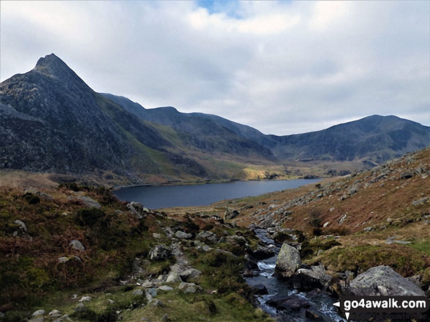
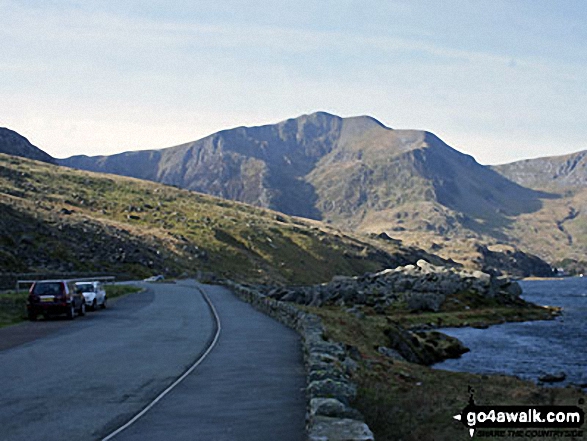
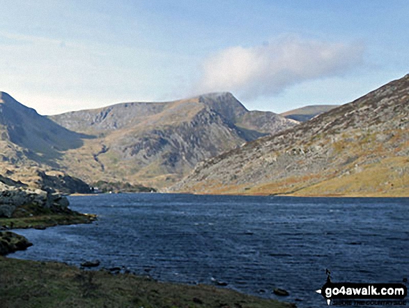
Tryfan (left), Glyder Fawr, Y Garn (Glyderau) (right) and Llyn Ogwen from near Glan Dena
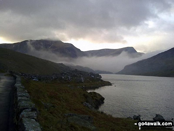
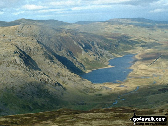
Early morning mist over Llyn Ogwen with Y Garn (Glyderau) and Foel-goch beyond
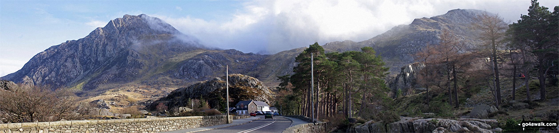
The Devils' Kitchen (Twll Du) (left) and Y Garn (Glyderau) (right) from near Idwal Cottage, Llyn Ogwen
. . . load all 36 walk photos from Walk cw129 The Welsh 3000's (Carneddau) from Glan Dena, Llyn Ogwen
Send us your photographs and pictures from your walks and hikes
We would love to see your photographs and pictures from walk cw129 The Welsh 3000's (Carneddau) from Glan Dena, Llyn Ogwen. Send them in to us as email attachments (configured for any computer) along with your name and where the picture was taken to:
and we shall do our best to publish them.
(Guide Resolution = 300dpi. At least = 660 pixels (wide) x 440 pixels (high).)

You can also submit photos from walk cw129 The Welsh 3000's (Carneddau) from Glan Dena, Llyn Ogwen via our Facebook Page.
NB. Please indicate where each photo was taken.


