Walk dn155 Pen Bwlch Llandrillo Top, Cadair Bronwen and Cadair Berwyn from Landrillo
This 16¼ mile, Grade 8 (Hard), easy-to-follow, hand-crafted walk, complete with GPS Waypoints, starts at Llandrillo & will take about 9 hrs to complete.
   |
Vital Statistics:
| Length: | 16¼mls (26km) |
| Ascent: | 3,213ft (979m) |
| Time: | 9hrs |
| Grade: |  |

Route outline for walk dn155:
Llandrillo - Pont Rhyd-yr-hydd - Bwlch Llandrillo Wayfarer Memorial - Pen Bwlch Llandrillo Top - Bronwen (North Top) - Cadair Bronwen - Bwlch Maen Gwynedd - Craig Berwyn - Cadair Berwyn - Cadair Berwyn (North Top) - Moel Sych - Ceulan Myheryn - Milltir Gerrig - Blaen-y-cwm - Llandrillo
Points of Interest/Notes on this walk:
The stile on the top of Craig Berwyn is the highest point in the Welsh county of Wrexham.
Cadair Berwyn is the highest point in the Welsh county of Denbighshire.
Peaks, Summits and Tops reached on this walk:
 4 Welsh Mountains |
 0 Wainwrights |
 5 Welsh Nuttalls |
 0 Welsh Deweys |
 0 Wainwright Outlying Fells |
 1 Welsh Marilyn |
 1 Bridget |
Peak Bagging Statistics for this walk:
The highest point of this walk is Cadair Berwyn at 832m (2730ft). Cadair Berwyn is classified as a Welsh Mountain (Hewitt) (27th highest in Wales, 58th highest in England & Wales)
Cadair Berwyn is also known as a Welsh Nuttall (31st highest in Wales, 67th highest in England & Wales) and a Welsh Marilyn (13th highest in Wales, 341st highest in the UK).
Cadair Berwyn is the highest point in the county of Denbighshire.
Completing this walk will also take you to the top of Cadair Berwyn (North Top) at 827m (2714ft). Cadair Berwyn (North Top) is also known as a Welsh Nuttall (33rd highest in Wales, 71st highest in England & Wales). The summit of Cadair Berwyn (North Top) is marked by an Ordnance Survey Trig Point.
You will also reach the summit of Moel Sych at 827m (2712ft). Moel Sych is classified as a Welsh Mountain (Hewitt) (29th highest in Wales, 62nd highest in England & Wales)
Moel Sych is also known as a Welsh Nuttall (34th highest in Wales, 72nd highest in England & Wales).
Along the way you will also bag and tick-off:
- Craig Berwyn at 790m (2592ft). Craig Berwyn is known as a Welsh Bridget. Craig Berwyn is the highest point in the county of Wrexham.
- Cadair Bronwen at 783m (2570ft). Cadair Bronwen is classified as a Welsh Mountain (Hewitt) (39th Wales, 92nd Eng & Wal) and a Welsh Nuttall (50th highest in Wales, 112th highest in England & Wales).
- Pen Bwlch Llandrillo Top at 621m (2038ft). Pen Bwlch Llandrillo Top is classified as a Welsh Mountain (Hewitt) (123rd Wales, 291st Eng & Wal) and a Welsh Nuttall (171st highest in Wales, 401st highest in England & Wales).
You can find this walk and other nearby walks on these unique Interactive Walk Planning Maps:
(worth a look if you're new to go4awalk.com & have never seen one of these before.)
1:25,000 scale OS Explorer Map (orange/yellow covers):
1:50,000 scale OS Landranger Map (pink/magenta covers):
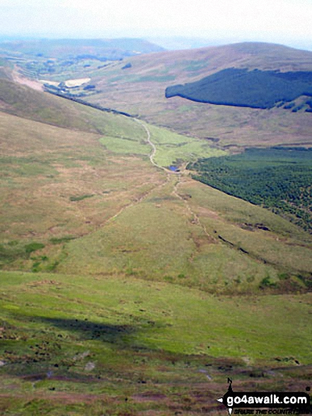
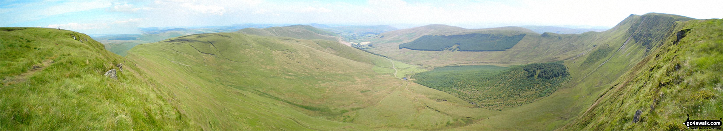
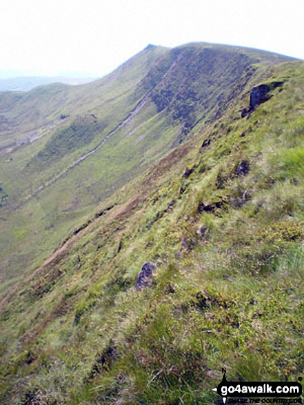
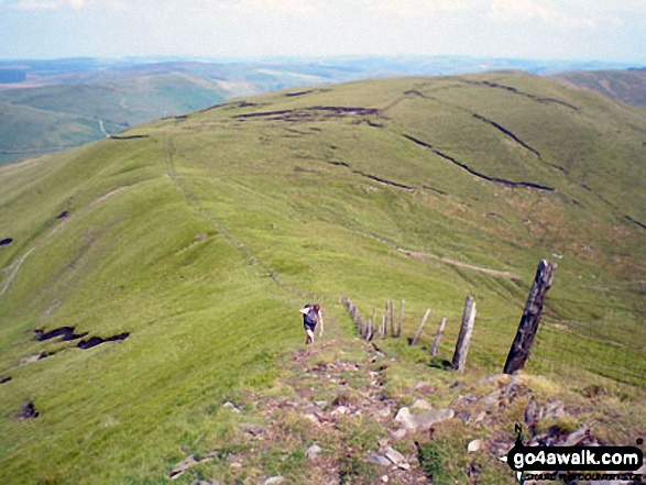
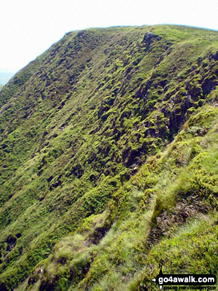
Some Photos and Pictures from Walk dn155 Pen Bwlch Llandrillo Top, Cadair Bronwen and Cadair Berwyn from Landrillo
In no particular order . . .
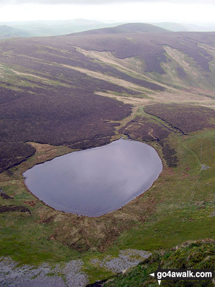


Cadair Berwyn (North Top), Tomle, Foel Wen, Foel Wen (South Top), Mynydd Tarw, Cwm Maen Gwynedd, Tyn-y-ffridd, Mynydd Mawr, Godor, Godor (West Top) and Moel yr Ewig from Cadair Berwyn

Send us your photographs and pictures from your walks and hikes
We would love to see your photographs and pictures from walk dn155 Pen Bwlch Llandrillo Top, Cadair Bronwen and Cadair Berwyn from Landrillo. Send them in to us as email attachments (configured for any computer) along with your name and where the picture was taken to:
and we shall do our best to publish them.
(Guide Resolution = 300dpi. At least = 660 pixels (wide) x 440 pixels (high).)

You can also submit photos from walk dn155 Pen Bwlch Llandrillo Top, Cadair Bronwen and Cadair Berwyn from Landrillo via our Facebook Page.
NB. Please indicate where each photo was taken.

To contribute to go4awalk.com or to contact us about anything at all - see Talk To Us.
For help see Help.
go4awalk.com and go4awalk.co.uk are registered trademarks of TMDH Limited.
Copyright © 2000-2026 TMDH Limited. All rights reserved.
Copyright Terms & Conditions Privacy Statement
A - Z Walks Home Log On/Accounts Photo Gallery Walk Ideas and Collections Fell Facts Hill Skills Walking Questions and Answers Your Stories News Competitions Product Reviews/Gear Tests Walking Gear Guides Peaks and Mountains Peak Bagging Find New Walking Friends Camping GPS Waypoints for Walking Contents Walk Search Talk To Us go4awalk.com Help Free Example Walks Newsletter


