   |
Vital Statistics:
| Length: | 8¼mls (13km) |
| Ascent: | 2,215ft (675m) |
| Time: | 5¼hrs |
| Grade: |  |
Route outline for walk po155:
Pistyll Rhaeadr Waterfall - Tan-y-pistyll - Nant y Llyn - Afon Disgynfa - Cwm Rhiwiau - Cwm Yr Eithin - Blaen Gaswen - Post Gwyn - Y Clogydd - Glan Hafon (Y Garn) - Afon Yr Ast - Pistyll Rhaeadr - Tan-y-pistyll.
Peaks, Summits and Tops reached on this walk:
 1 Welsh Mountain |
 0 Wainwrights |
 1 Welsh Nuttall |
 1 Welsh Dewey |
 0 Wainwright Outlying Fells |
 0 Welsh Marilyns |
 0 Bridgets |
Peak Bagging Statistics for this walk:
The highest point of this walk is Post Gwyn at 665m (2182ft). Post Gwyn is classified as a Welsh Mountain (Hewitt) (92nd highest in Wales, 223rd highest in England & Wales)
Post Gwyn is also known as a Welsh Nuttall (122nd highest in Wales, 297th highest in England & Wales).
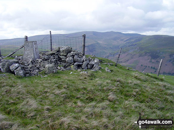
Completing this walk will also take you to the top of Glan Hafon (Y Garn) at 608m (1995ft). Glan Hafon (Y Garn) is also known as a Welsh Dewey (3rd highest in Wales, 6th in England & Wales) The summit of Glan Hafon (Y Garn) is marked by an Ordnance Survey Trig Point. The Trig Point on Glan Hafon (Y Garn) is about 180m E of the highest point.
You can find this walk and other nearby walks on these unique free-to-access Interactive Walk Planning Maps:
1:25,000 scale OS Explorer Map (orange/yellow covers):
1:50,000 scale OS Landranger Map (pink/magenta covers):
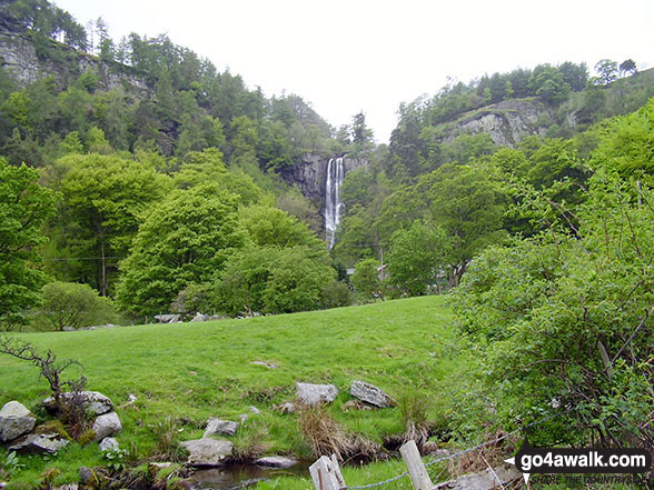
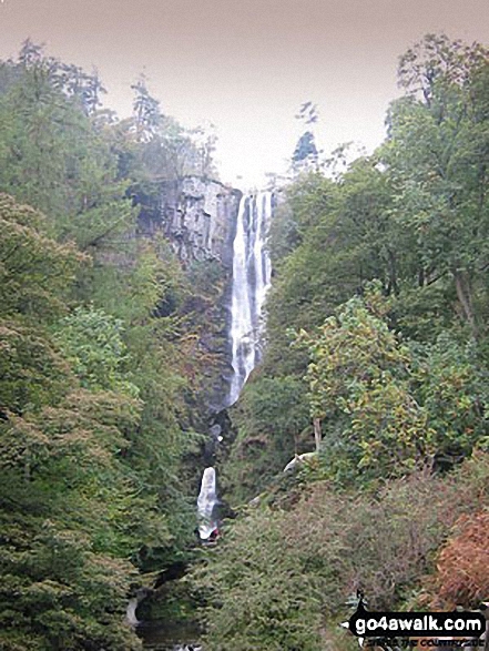
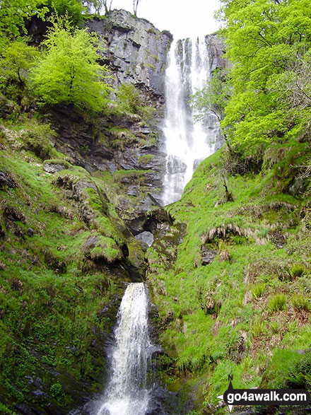
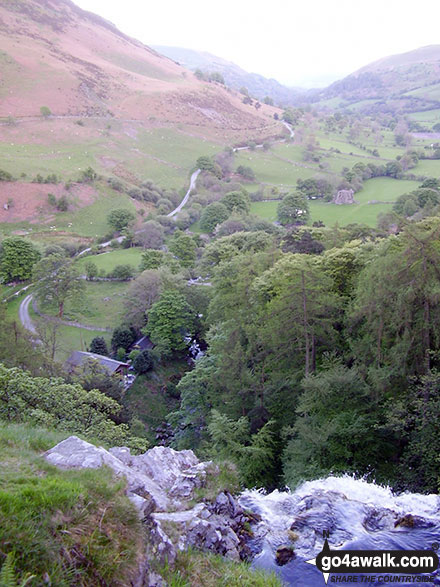
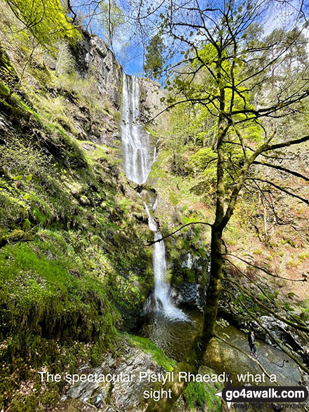
Some Photos and Pictures from Walk po155 Post Gwyn and Glan Hafon from Pistyll Rhaeadr
In no particular order . . .
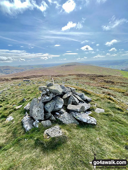
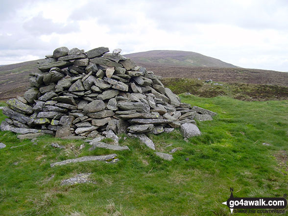
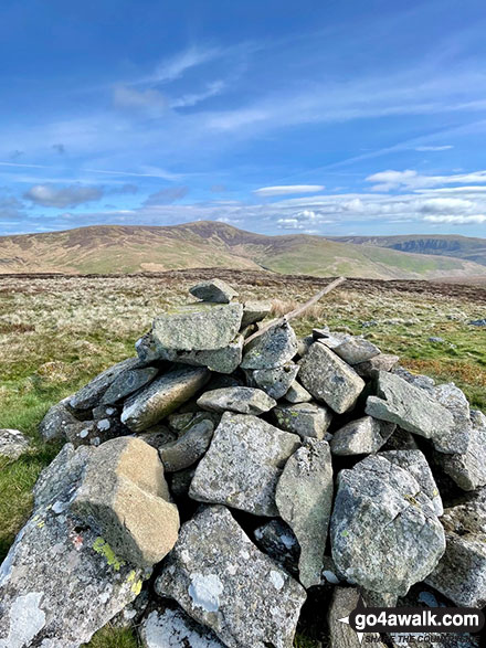
The summit of Post Gwyn - the trees in the distance is the next leg of walk pdf po155
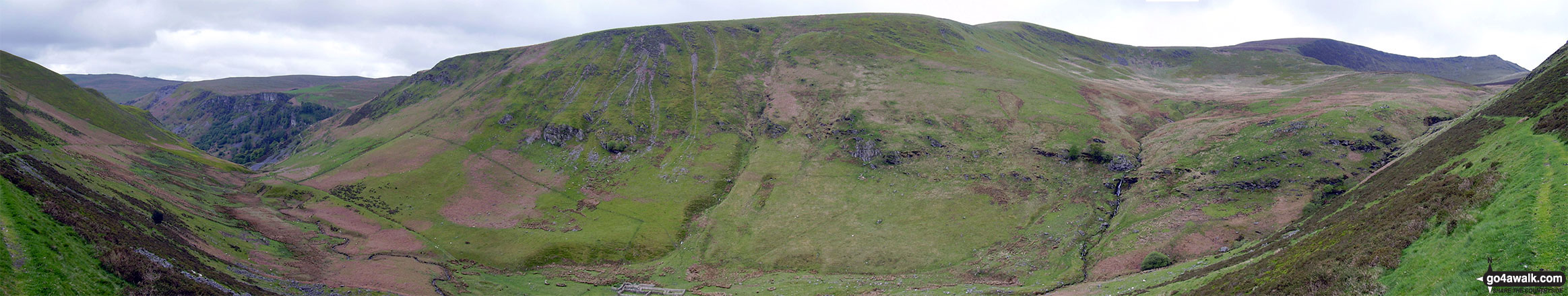
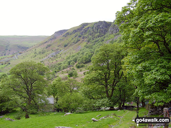
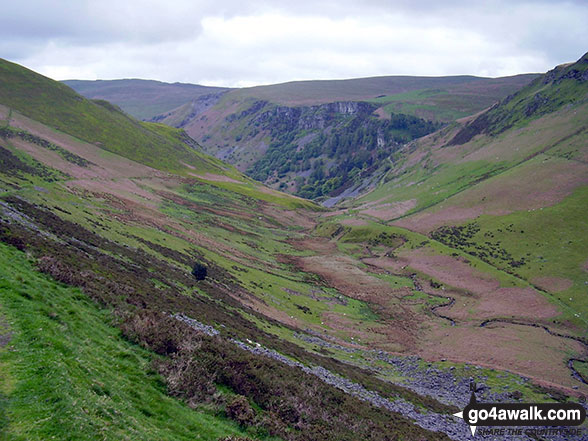
The Pistyll Rhaeadr crags (far left), Trum Fellen, Moel Sych, Cadair Berwyn and Cadair Berwyn (North Top) (far right) from Nant y Llyn near Llyn Lluncaws
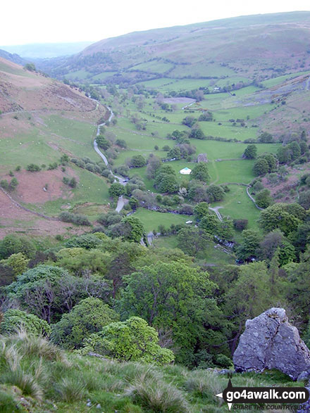
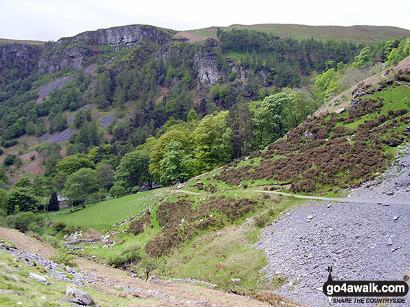
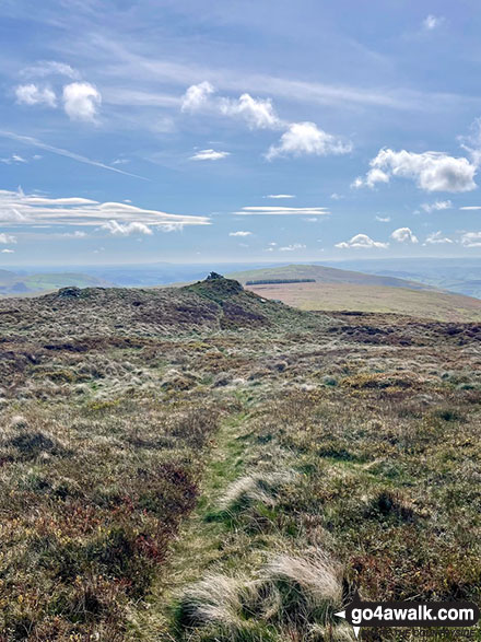
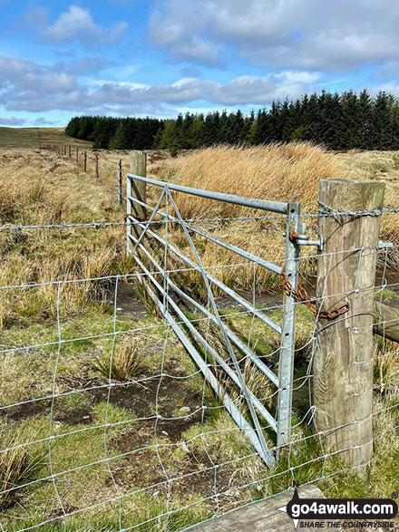
The approach to the summit of Post Gwyn, you can see the small forest in the distance, shown as pale green on walk pdf po155
. . . load all 23 walk photos from Walk po155 Post Gwyn and Glan Hafon from Pistyll Rhaeadr
Send us your photographs and pictures from your walks and hikes
We would love to see your photographs and pictures from walk po155 Post Gwyn and Glan Hafon from Pistyll Rhaeadr. Send them in to us as email attachments (configured for any computer) along with your name and where the picture was taken to:
and we shall do our best to publish them.
(Guide Resolution = 300dpi. At least = 660 pixels (wide) x 440 pixels (high).)

You can also submit photos from walk po155 Post Gwyn and Glan Hafon from Pistyll Rhaeadr via our Facebook Page.
NB. Please indicate where each photo was taken.


