
![]()
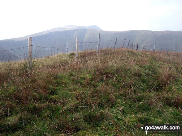
Pen yr Allt Uchaf
630m (2067ft)
The Arans, Gwynedd, Wales
*Pen yr Allt Uchaf is actually just outside of The National Park Boundary
Not familiar with this top?
You can walk/hike to the top of Pen yr Allt Uchaf by using this easy‑to‑follow route map:
Walk gw185 Gwaun y Llwyni, Aran Fawddwy, Erw y Ddafad-ddu, Aran Benllyn and Pen yr Allt Uchaf from Cwm Cywarch
Glorious views, gloriously quiet
   |
|---|
Vital Statistics:
| Length: | 12ml (19km) |
|---|---|
| Ascent: | 4,050ft (1,234m) |
| Time: | 8½ hrs |
| Grade: |  (Hard) (Hard) |
Route Summary:
Cwm Cywarch - Afon Cywarch - Waun Camddwr - Camddwr - Gwaun y Llwyni - Aran Fawddwy - Erw y Ddafad-ddu - Aran Benllyn - Aran Fawddwy (South Top) - Drws Bach - Drysgol (Aran Fawddwy) - Gwaun Lydan - Pumryd Fawr - Waun Goch - Pen yr Allt Uchaf - Allt Uchaf - Ty'n-y-ddol - Cwm Cywarch
See Pen yr Allt Uchaf and the surrounding tops on our free-to-access 'Google Style' Peak Bagging Map:
The Arans of Snowdonia National Park
Less data - quicker to download
See Pen yr Allt Uchaf and the surrounding tops on our unique, downloadable, PDF Peak Bagging Map:

NB: Whether you print off a copy or download it to your phone, this PDF Peak Baggers' Map might prove incredibly useful when your are up there on the tops and you cannot get a phone signal.
You can find Pen yr Allt Uchaf & all the walks that climb it on these unique free-to-access Interactive Walk Planning Maps:
1:25,000 scale OS Explorer Map (orange/yellow covers):
1:50,000 scale OS Landranger Map (pink/magenta covers):
 Fellow go4awalkers who have already walked, climbed, scaled, summited, hiked & bagged Pen yr Allt Uchaf
Christina Lander walked up Pen yr Allt Uchaf on August 30th, 2024 [from/via/route] Cwm Cywarch - Waun Camddwr - Gwaun y Llwyni - Aran Fawddwy - Drysgol - Gwaun Lydan - Waun Goch - Pen yr Allt Uchaf - Cwm Cywarch [with] Dick [weather] A beautiful day, cloudy at times - Long weekend staying in Corris
Donovan Suddell climbed it on March 20th, 2022 [from/via/route] Cwm Cywarch [with] wife and grandson [weather] beautiful sunny weather , blustery at the top
Mark Hanley bagged it on July 21st, 2018 [from/via/route] Cwm Cywarch [with] alone [weather] cloudy
Mark Davidson hiked Pen yr Allt Uchaf on September 17th, 2009 [with] Alone [weather] Bit grey really but the tops were clear
Trevor Williams summited on February 19th, 2015 [weather] wet
Robert Taylor-Marriott conquered it on April 25th, 2014 [from/via/route] Route 57: Foel Hafod-fynydd. Esgeiriau Gwynion. Foel Rhudd. Llechwedd Du. Moely Cerrig Duon (FELM) Completed 25.04.14 [with] Vince Wetton 7 Robert Taylor-marriott [weather] Cloudy & Rain
Vince Wetton scaled it on April 11th, 2014 [from/via/route] gw185 less 2 Northermost peaks [with] RTM +ADAM [weather] Lovely sunny day
Alberto Lopes walked up Pen yr Allt Uchaf on March 26th, 2012 [from/via/route] gw185 from Cwm Cywarch [with] Rachel [weather] sunny
Angela Moroney, Paul Booth and Stephen Hobdell have all walked, climbed & bagged Pen yr Allt Uchaf.
To add (or remove) your name and experiences on this page - Log On and edit your Personal Mountain Bagging Record
More Photographs & Pictures of views from, on, or of, Pen yr Allt Uchaf

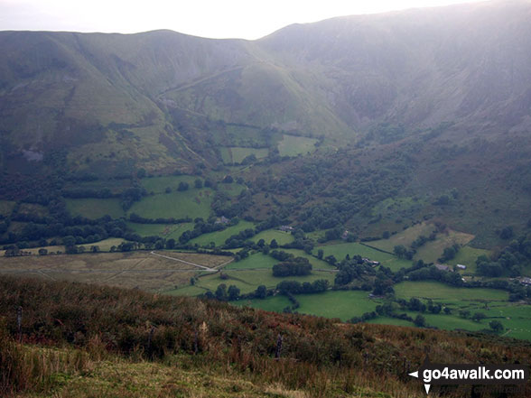
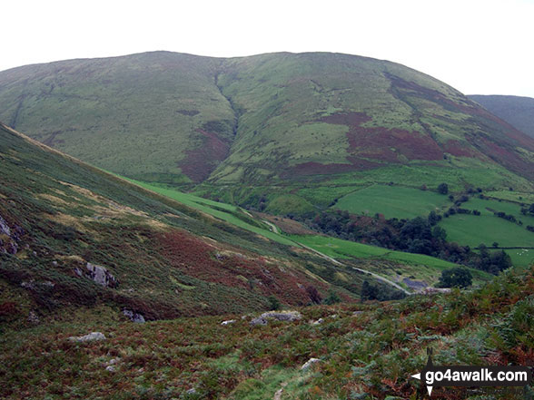
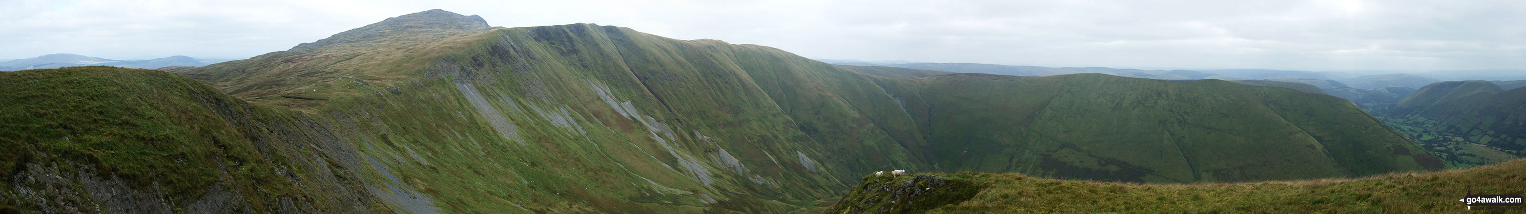
Panorama featuring Aran Fawddwy, Drws Bach, Drysgol, Gwaun Lydan, Waun Goch and Pen yr Allt Uchaf from the summit of Gwaun y Llwyni
Send us your photographs and pictures on, of, or from Pen yr Allt Uchaf
If you would like to add your walk photographs and pictures to this page, please send them as email attachments (configured for any computer) along with your name to:
and we shall do our best to publish them.
(Guide Resolution = 300dpi. At least = 660pixels (wide) x 440 pixels (high).)

You can also submit photos via our Facebook Page.
NB. Please indicate where each photo was taken and whether you wish us to credit your photos with a Username or your First Name/Last Name.


