The Southern Dales Area of The Yorkshire Dales National Park - a fully detailed list of all the Mountains, Peaks, Tops and Hills
The Southern Dales Area of The Yorkshire Dales National Park, Cumbria and North Yorkshire is the area:
- Within the National Park south of the A684 from Sedbergh to Leyburn via Hawes, Bainbridge and Aysgarth
If you include the Marilyns, the Bridgets (Hills) and all the Mountains, Tops, Peaks and Hills with a Trig Point on them there are 47 tops to climb, bag & conquer and the highest point is Whernside at 736m (2,416ft).
To see these Mountains, Peaks, Tops and Hills displayed in different ways - see the options in the left-hand column and towards the bottom of this page.
LOG ON and RELOAD this page to show which Mountains, Peaks, Tops and Hills you have already climbed, bagged & conquered [. . . more details]
See this list in: Alphabetical Order‡
| Height Order
To reverse the order select the link again.
Mountain, Peak, Top or Hill:
Bagged
1. Addlebrough
477m (1,565ft)
Bridget
OS Trig Point
To walk, climb & bag Addlebrough use any of these easy-to-follow walks:
See the location of Addlebrough and walks up it on a google MapAddlebrough is on interactive maps:
OS Explorer (Orange Covers): OL30
OS Landranger (Pink Covers): 98
A downloadable go4awalk.com PDF Peak Bagging Map featuring Addlebrough will be available soon. |
2. Aye Gill Pike
556m (1,824ft)
Dewey (60th in England, 139th in England & Wales)
Marilyn (61st in England, 856th in GB)
OS Trig Point
To walk, climb & bag Aye Gill Pike use either of these easy-to-follow walks:
See the location of Aye Gill Pike and walks up it on a google MapAye Gill Pike is on interactive maps:
OS Explorer (Orange Covers): OL2
OS Landranger (Pink Covers): 98
Aye Gill Pike is on downloadable PDF you can Print or Save to your Phone:
|
3. Barbon Low Fell
438m (1,437ft)
Bridget
OS Trig Point
We hope to have walks that climb & bag Barbon Low Fell very soon
See the location of Barbon Low Fell and walks up it on a google MapBarbon Low Fell is on interactive maps:
OS Explorer (Orange Covers): OL2
OS Landranger (Pink Covers): 97
|
4. Beamsley Beacon (Howber Hill)
393m (1,290ft)
Bridget
OS Trig Point
We hope to have walks that climb & bag Beamsley Beacon (Howber Hill) very soon
See the location of Beamsley Beacon (Howber Hill) and walks up it on a google MapBeamsley Beacon (Howber Hill) is on interactive maps:
OS Explorer (Orange Covers): OL2
OS Landranger (Pink Covers): 104
Beamsley Beacon (Howber Hill) is on downloadable PDF you can Print or Save to your Phone:
|
5. Birks Fell
610m (2,002ft)
Mountain (177th in England, 312th in England & Wales)
Nuttall (249th in England, 435th in England & Wales)
Marilyn (50th in England, 749th in GB)
To walk, climb & bag Birks Fell use this easy-to-follow walk:
See the location of Birks Fell and walks up it on a google MapBirks Fell is on interactive maps:
OS Explorer (Orange Covers): OL30
OS Landranger (Pink Covers): 98
Birks Fell is on downloadable PDF you can Print or Save to your Phone:
|
6. Brown Bank Head
412m (1,352ft)
Bridget
We hope to have walks that climb & bag Brown Bank Head very soon
See the location of Brown Bank Head and walks up it on a google MapBrown Bank Head is on interactive maps:
OS Explorer (Orange Covers): OL2
OS Landranger (Pink Covers): 104
Brown Bank Head is on downloadable PDF you can Print or Save to your Phone:
|
7. Buckden Pike
702m (2,303ft)
Mountain (104th in England, 171st in England & Wales)
Nuttall (131st in England, 216th in England & Wales)
Marilyn (32nd in England, 592nd in GB)
OS Trig Point
To walk, climb & bag Buckden Pike use either of these easy-to-follow walks:
See the location of Buckden Pike and walks up it on a google MapBuckden Pike is on interactive maps:
OS Explorer (Orange Covers): OL30
OS Landranger (Pink Covers): 98
Buckden Pike is on downloadable PDF you can Print or Save to your Phone:
|
8. Calf Top
609m (2,000ft)
Mountain (180th in England, 317th in England & Wales)
Nuttall (253rd in England, 441st in England & Wales)
Marilyn (51st in England, 752nd in GB)
OS Trig Point
Calf Top was reclassified from a 'Dewey' to a Mountain (Hewitt) and 'Nuttall' in September 2016. Formerly thought to be fractionally under the 609.6m (2000ft) required for mountain status, the Ordnance Survey recalculated the height of the mountain using the OSTN15/OSGM15 transformation to a height of 609.606m (2000ft and 1/4 inch).
To walk, climb & bag Calf Top use this easy-to-follow walk:
See the location of Calf Top and walks up it on a google MapCalf Top is on interactive maps:
OS Explorer (Orange Covers): OL2
OS Landranger (Pink Covers): 98
Calf Top is on downloadable PDF you can Print or Save to your Phone:
|
9. Cam Rakes (Oughtershaw Moss)
501m (1,644ft)
Dewey (178th in England, 417th in England & Wales)
OS Trig Point
We hope to have walks that climb & bag Cam Rakes (Oughtershaw Moss) very soon
See the location of Cam Rakes (Oughtershaw Moss) and walks up it on a google MapCam Rakes (Oughtershaw Moss) is on interactive maps:
OS Explorer (Orange Covers): OL2
OS Landranger (Pink Covers): 98
Cam Rakes (Oughtershaw Moss) is on downloadable PDF you can Print or Save to your Phone:
|
10. Carncliff Top (Earl Seat)
449m (1,473ft)
Bridget
To walk, climb & bag Carncliff Top (Earl Seat) use this easy-to-follow walk:
See the location of Carncliff Top (Earl Seat) and walks up it on a google MapCarncliff Top (Earl Seat) is on interactive maps:
OS Explorer (Orange Covers): OL2
OS Landranger (Pink Covers): 104
Carncliff Top (Earl Seat) is on downloadable PDF you can Print or Save to your Phone:
|
11. Conistone Moor (Great Whernside)
513m (1,683ft)
Bridget
OS Trig Point
We hope to have walks that climb & bag Conistone Moor (Great Whernside) very soon
See the location of Conistone Moor (Great Whernside) and walks up it on a google MapConistone Moor (Great Whernside) is on interactive maps:
OS Explorer (Orange Covers): OL30
OS Landranger (Pink Covers): 98
|
12. Cosh Outside (Cosh Knott)
600m (1,969ft)
Bridget
OS Trig Point
To walk, climb & bag Cosh Outside (Cosh Knott) use this easy-to-follow walk:
See the location of Cosh Outside (Cosh Knott) and walks up it on a google MapCosh Outside (Cosh Knott) is on interactive maps:
OS Explorer (Orange Covers): OL2
OS Landranger (Pink Covers): 98
|
13. Cracoe Fell
507m (1,663ft)
Dewey (168th in England, 390th in England & Wales)
Marilyn (76th in England, 977th in GB)
OS Trig Point
To walk, climb & bag Cracoe Fell use this easy-to-follow walk:
See the location of Cracoe Fell and walks up it on a google MapCracoe Fell is on interactive maps:
OS Explorer (Orange Covers): OL2
OS Landranger (Pink Covers): 103
Cracoe Fell is on downloadable PDF you can Print or Save to your Phone:
|
14. Crag Hill (Great Coum)
682m (2,238ft)
Bridget
OS Trig Point
To walk, climb & bag Crag Hill (Great Coum) use this easy-to-follow walk:
See the location of Crag Hill (Great Coum) and walks up it on a google MapCrag Hill (Great Coum) is on interactive maps:
OS Explorer (Orange Covers): OL2
OS Landranger (Pink Covers): 98
|
15. Crookrise Crag Top
415m (1,362ft)
Bridget
OS Trig Point
To walk, climb & bag Crookrise Crag Top use any of these easy-to-follow walks:
See the location of Crookrise Crag Top and walks up it on a google MapCrookrise Crag Top is on interactive maps:
OS Explorer (Orange Covers): OL2
OS Landranger (Pink Covers): 103
Crookrise Crag Top is on downloadable PDF you can Print or Save to your Phone:
|
16. Darnbrook Fell
624m (2,047ft)
Mountain (164th in England, 285th in England & Wales)
Nuttall (223rd in England, 388th in England & Wales)
OS Trig Point
To walk, climb & bag Darnbrook Fell use this easy-to-follow walk:
See the location of Darnbrook Fell and walks up it on a google MapDarnbrook Fell is on interactive maps:
OS Explorer (Orange Covers): OL30
OS Landranger (Pink Covers): 98
Darnbrook Fell is on downloadable PDF you can Print or Save to your Phone:
|
17. Dodd Fell Hill
668m (2,192ft)
Mountain (128th in England, 218th in England & Wales)
Nuttall (171st in England, 289th in England & Wales)
Marilyn (40th in England, 655th in GB)
OS Trig Point
To walk, climb & bag Dodd Fell Hill use this easy-to-follow walk:
See the location of Dodd Fell Hill and walks up it on a google MapDodd Fell Hill is on interactive maps:
OS Explorer (Orange Covers): OL2 and
OL30
OS Landranger (Pink Covers): 98
Dodd Fell Hill is on downloadable PDF you can Print or Save to your Phone:
|
18. Embsay Crag
371m (1,217ft)
Bridget
To walk, climb & bag Embsay Crag use this easy-to-follow walk:
See the location of Embsay Crag and walks up it on a google MapEmbsay Crag is on interactive maps:
OS Explorer (Orange Covers): OL2
OS Landranger (Pink Covers): 104
Embsay Crag is on downloadable PDF you can Print or Save to your Phone:
|
19. Firth Fell
607m (1,992ft)
Bridget
OS Trig Point
To walk, climb & bag Firth Fell use this easy-to-follow walk:
See the location of Firth Fell and walks up it on a google MapFirth Fell is on interactive maps:
OS Explorer (Orange Covers): OL30
OS Landranger (Pink Covers): 98
|
20. Fountains Fell
668m (2,192ft)
Mountain (129th in England, 220th in England & Wales)
Nuttall (172nd in England, 292nd in England & Wales)
Marilyn (41st in England, 657th in GB)
To walk, climb & bag Fountains Fell use this easy-to-follow walk:
See the location of Fountains Fell and walks up it on a google MapFountains Fell is on interactive maps:
OS Explorer (Orange Covers): OL2
OS Landranger (Pink Covers): 98
Fountains Fell is on downloadable PDF you can Print or Save to your Phone:
|
21. Gragareth
628m (2,060ft)
Mountain (162nd in England, 281st in England & Wales)
Nuttall (218th in England, 381st in England & Wales)
OS Trig Point
Gragareth is the highest point in the county of Lancashire.
To walk, climb & bag Gragareth use any of these easy-to-follow walks:
See the location of Gragareth and walks up it on a google MapGragareth is on interactive maps:
OS Explorer (Orange Covers): OL2
OS Landranger (Pink Covers): 98
Gragareth is on downloadable PDF you can Print or Save to your Phone:
|
22. Great Coum
687m (2,254ft)
Mountain (111th in England, 187th in England & Wales)
Nuttall (146th in England, 245th in England & Wales)
Marilyn (35th in England, 619th in GB)
To walk, climb & bag Great Coum use this easy-to-follow walk:
See the location of Great Coum and walks up it on a google MapGreat Coum is on interactive maps:
OS Explorer (Orange Covers): OL2
OS Landranger (Pink Covers): 98
Great Coum is on downloadable PDF you can Print or Save to your Phone:
|
23. Great Haw
542m (1,779ft)
Bridget
We hope to have walks that climb & bag Great Haw very soon
See the location of Great Haw and walks up it on a google MapGreat Haw is on interactive maps:
OS Explorer (Orange Covers): OL30
OS Landranger (Pink Covers): 99
Great Haw is on downloadable PDF you can Print or Save to your Phone:
|
24. Great Knoutberry Hill (Widdale Fell)
672m (2,205ft)
Mountain (124th in England, 209th in England & Wales)
Nuttall (166th in England, 280th in England & Wales)
Marilyn (38th in England, 647th in GB)
OS Trig Point
To walk, climb & bag Great Knoutberry Hill (Widdale Fell) use any of these easy-to-follow walks:
See the location of Great Knoutberry Hill (Widdale Fell) and walks up it on a google MapGreat Knoutberry Hill (Widdale Fell) is on interactive maps:
OS Explorer (Orange Covers): OL2
OS Landranger (Pink Covers): 98
Great Knoutberry Hill (Widdale Fell) is on downloadable PDF you can Print or Save to your Phone:
|
25. Great Whernside
704m (2,310ft)
Mountain (102nd in England, 168th in England & Wales)
Nuttall (127th in England, 211th in England & Wales)
Marilyn (31st in England, 584th in GB)
OS Trig Point
To walk, climb & bag Great Whernside use either of these easy-to-follow walks:
See the location of Great Whernside and walks up it on a google MapGreat Whernside is on interactive maps:
OS Explorer (Orange Covers): OL30
OS Landranger (Pink Covers): 98
Great Whernside is on downloadable PDF you can Print or Save to your Phone:
|
26. Horse Head (Horse Head Moor)
605m (1,985ft)
Bridget
OS Trig Point
To walk, climb & bag Horse Head (Horse Head Moor) use this easy-to-follow walk:
See the location of Horse Head (Horse Head Moor) and walks up it on a google MapHorse Head (Horse Head Moor) is on interactive maps:
OS Explorer (Orange Covers): OL30
OS Landranger (Pink Covers): 98
|
27. Ingleborough
724m (2,375ft)
Mountain (83rd in England, 144th in England & Wales)
Nuttall (104th in England, 178th in England & Wales)
Marilyn (26th in England, 540th in GB)
OS Trig Point
To walk, climb & bag Ingleborough use any of these easy-to-follow walks:
See the location of Ingleborough and walks up it on a google MapIngleborough is on interactive maps:
OS Explorer (Orange Covers): OL2
OS Landranger (Pink Covers): 98
Ingleborough is on downloadable PDF you can Print or Save to your Phone:
|
28. Kilnsey Moor
450m (1,477ft)
OS Trig Point
We hope to have walks that climb & bag Kilnsey Moor very soon
See the location of Kilnsey Moor and walks up it on a google MapKilnsey Moor is on interactive maps:
OS Explorer (Orange Covers): OL2
OS Landranger (Pink Covers): 98
Kilnsey Moor is on downloadable PDF you can Print or Save to your Phone:
|
29. Knowe Fell
593m (1,946ft)
Bridget
OS Trig Point
We hope to have walks that climb & bag Knowe Fell very soon
See the location of Knowe Fell and walks up it on a google MapKnowe Fell is on interactive maps:
OS Explorer (Orange Covers): OL2
OS Landranger (Pink Covers): 98
|
30. Langcliffe
440m (1,444ft)
Bridget
OS Trig Point
To walk, climb & bag Langcliffe use this easy-to-follow walk:
See the location of Langcliffe and walks up it on a google MapLangcliffe is on interactive maps:
OS Explorer (Orange Covers): OL2
OS Landranger (Pink Covers): 98
Langcliffe is on downloadable PDF you can Print or Save to your Phone:
|
31. Malham Cove
319m (1,047ft)
Bridget
To walk, climb & bag Malham Cove use any of these easy-to-follow walks:
See the location of Malham Cove and walks up it on a google MapMalham Cove is on interactive maps:
OS Explorer (Orange Covers): OL2
OS Landranger (Pink Covers): 98
Malham Cove is on downloadable PDF you can Print or Save to your Phone:
|
32. Meugher
575m (1,887ft)
Dewey (34th in England, 78th in England & Wales)
OS Trig Point
To walk, climb & bag Meugher use this easy-to-follow walk:
See the location of Meugher and walks up it on a google MapMeugher is on interactive maps:
OS Explorer (Orange Covers): OL30
OS Landranger (Pink Covers): 98
Meugher is on downloadable PDF you can Print or Save to your Phone:
|
33. Park Fell (Ribblehead)
563m (1,847ft)
Dewey (49th in England, 113th in England & Wales)
OS Trig Point
To walk, climb & bag Park Fell (Ribblehead) use this easy-to-follow walk:
See the location of Park Fell (Ribblehead) and walks up it on a google MapPark Fell (Ribblehead) is on interactive maps:
OS Explorer (Orange Covers): OL2
OS Landranger (Pink Covers): 98
Park Fell (Ribblehead) is on downloadable PDF you can Print or Save to your Phone:
|
34. Parson's Pulpit
538m (1,765ft)
Dewey (97th in England, 222nd in England & Wales)
OS Trig Point
To walk, climb & bag Parson's Pulpit use either of these easy-to-follow walks:
See the location of Parson's Pulpit and walks up it on a google MapParson's Pulpit is on interactive maps:
OS Explorer (Orange Covers): OL2
OS Landranger (Pink Covers): 98
Parson's Pulpit is on downloadable PDF you can Print or Save to your Phone:
|
35. Pen-y-ghent
694m (2,277ft)
Mountain (108th in England, 179th in England & Wales)
Nuttall (142nd in England, 233rd in England & Wales)
Marilyn (33rd in England, 606th in GB)
OS Trig Point
To walk, climb & bag Pen-y-ghent use any of these easy-to-follow walks:
See the location of Pen-y-ghent and walks up it on a google MapPen-y-ghent is on interactive maps:
OS Explorer (Orange Covers): OL2
OS Landranger (Pink Covers): 98
Pen-y-ghent is on downloadable PDF you can Print or Save to your Phone:
|
36. Penhill
526m (1,726ft)
Bridget
OS Trig Point
We hope to have walks that climb & bag Penhill very soon
See the location of Penhill and walks up it on a google MapPenhill is on interactive maps:
OS Explorer (Orange Covers): OL30
OS Landranger (Pink Covers): 98
Penhill is on downloadable PDF you can Print or Save to your Phone:
|
37. Rain Stang
453m (1,487ft)
Bridget
OS Trig Point
To walk, climb & bag Rain Stang use this easy-to-follow walk:
See the location of Rain Stang and walks up it on a google MapRain Stang is on interactive maps:
OS Explorer (Orange Covers): OL30
OS Landranger (Pink Covers): 99
Rain Stang is on downloadable PDF you can Print or Save to your Phone:
|
38. Round Hill (Bramberry Hill)
409m (1,342ft)
Bridget
We hope to have walks that climb & bag Round Hill (Bramberry Hill) very soon
See the location of Round Hill (Bramberry Hill) and walks up it on a google MapRound Hill (Bramberry Hill) is on interactive maps:
OS Explorer (Orange Covers): OL2
OS Landranger (Pink Covers): 104
Round Hill (Bramberry Hill) is on downloadable PDF you can Print or Save to your Phone:
|
39. Rye Loaf Hill
547m (1,795ft)
Dewey (75th in England, 177th in England & Wales)
OS Trig Point
We hope to have walks that climb & bag Rye Loaf Hill very soon
See the location of Rye Loaf Hill and walks up it on a google MapRye Loaf Hill is on interactive maps:
OS Explorer (Orange Covers): OL2
OS Landranger (Pink Covers): 98
Rye Loaf Hill is on downloadable PDF you can Print or Save to your Phone:
|
40. Rylstone Fell
410m (1,345ft)
Bridget
To walk, climb & bag Rylstone Fell use any of these easy-to-follow walks:
See the location of Rylstone Fell and walks up it on a google MapRylstone Fell is on interactive maps:
OS Explorer (Orange Covers): OL2
OS Landranger (Pink Covers): 103
Rylstone Fell is on downloadable PDF you can Print or Save to your Phone:
|
41. Sharp Haw
357m (1,171ft)
Marilyn (107th in England, 1291st in GB)
OS Trig Point
To walk, climb & bag Sharp Haw use this easy-to-follow walk:
See the location of Sharp Haw and walks up it on a google MapSharp Haw is on interactive maps:
OS Explorer (Orange Covers): OL2
OS Landranger (Pink Covers): 103
Sharp Haw is on downloadable PDF you can Print or Save to your Phone:
|
42. Simon's Seat (Wharfedale)
485m (1,591ft)
Bridget
OS Trig Point
To walk, climb & bag Simon's Seat (Wharfedale) use this easy-to-follow walk:
See the location of Simon's Seat (Wharfedale) and walks up it on a google MapSimon's Seat (Wharfedale) is on interactive maps:
OS Explorer (Orange Covers): OL2
OS Landranger (Pink Covers): 104
Simon's Seat (Wharfedale) is on downloadable PDF you can Print or Save to your Phone:
|
43. Smearsett Scar
363m (1,191ft)
Bridget
OS Trig Point
We hope to have walks that climb & bag Smearsett Scar very soon
See the location of Smearsett Scar and walks up it on a google MapSmearsett Scar is on interactive maps:
OS Explorer (Orange Covers): OL2
OS Landranger (Pink Covers): 98
Smearsett Scar is on downloadable PDF you can Print or Save to your Phone:
|
44. Thorpe Fell Top
506m (1,660ft)
Bridget
OS Trig Point
To walk, climb & bag Thorpe Fell Top use this easy-to-follow walk:
See the location of Thorpe Fell Top and walks up it on a google MapThorpe Fell Top is on interactive maps:
OS Explorer (Orange Covers): OL2
OS Landranger (Pink Covers): 104
Thorpe Fell Top is on downloadable PDF you can Print or Save to your Phone:
|
45. Thwaite Scars
408m (1,339ft)
Bridget
We hope to have walks that climb & bag Thwaite Scars very soon
See the location of Thwaite Scars and walks up it on a google MapThwaite Scars is on interactive maps:
OS Explorer (Orange Covers): OL2
OS Landranger (Pink Covers): 98
Thwaite Scars is on downloadable PDF you can Print or Save to your Phone:
|
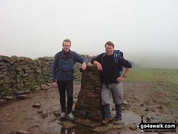
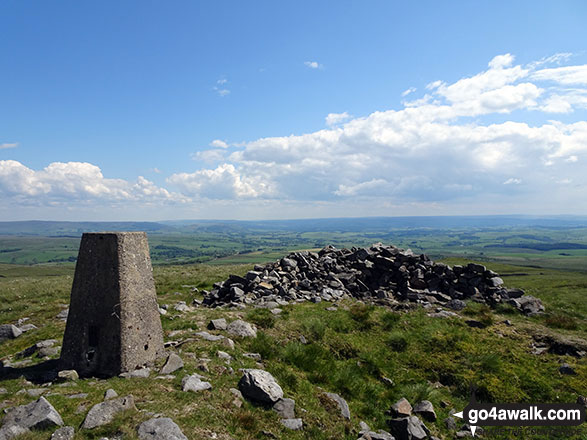
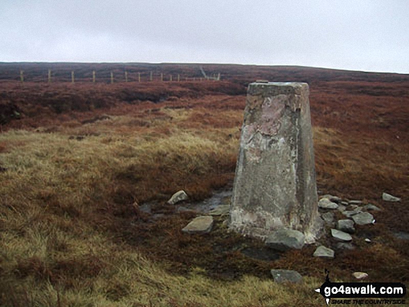
46. Whernside
736m (2,416ft)
Mountain (76th in England, 131st in England & Wales)
Nuttall (95th in England, 162nd in England & Wales)
Marilyn (25th in England, 513th in GB)
OS Trig Point
Whernside is the highest point in The Yorkshire Dales National Park and the highest point in the county of North Yorkshire.
To walk, climb & bag Whernside use any of these easy-to-follow walks:
See the location of Whernside and walks up it on a google MapWhernside is on interactive maps:
OS Explorer (Orange Covers): OL2
OS Landranger (Pink Covers): 98
Whernside is on downloadable PDF you can Print or Save to your Phone:
|
47. Yockenthwaite Moor
643m (2,110ft)
Mountain (149th in England, 255th in England & Wales)
Nuttall (197th in England, 345th in England & Wales)
OS Trig Point
To walk, climb & bag Yockenthwaite Moor use this easy-to-follow walk:
See the location of Yockenthwaite Moor and walks up it on a google MapYockenthwaite Moor is on interactive maps:
OS Explorer (Orange Covers): OL30
OS Landranger (Pink Covers): 98
Yockenthwaite Moor is on downloadable PDF you can Print or Save to your Phone:
|
View these 47 Mountains, Peaks, Tops and Hills:
# Whether you print a copy or download it to your phone, this Peak Baggers' Map will prove incredibly useful if you want to know what's what when you are up in the mountains and cannot get a phone signal.
Is there a Mountain, Peak, Top or Hill missing from the above google map or list?
Let us know an we will add it to our database.

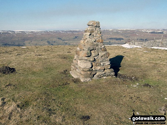

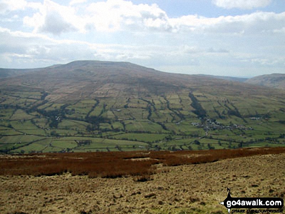
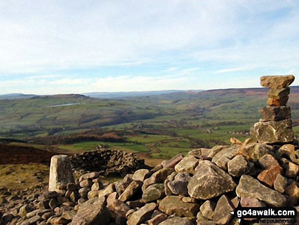

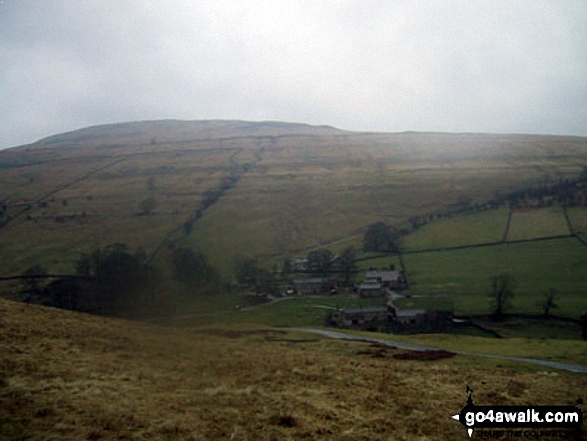

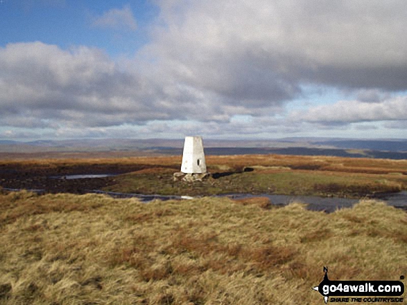
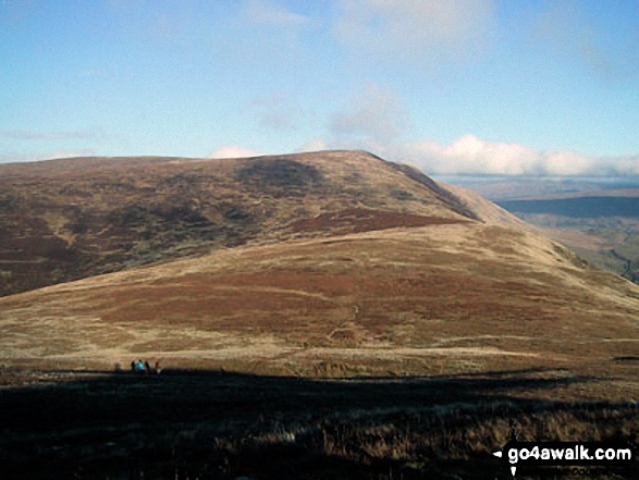

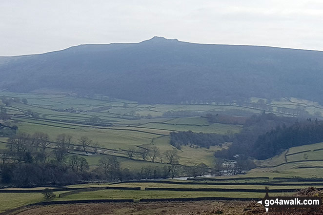
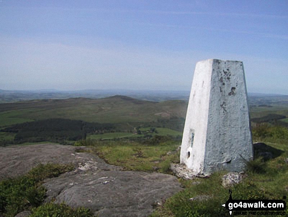
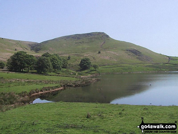
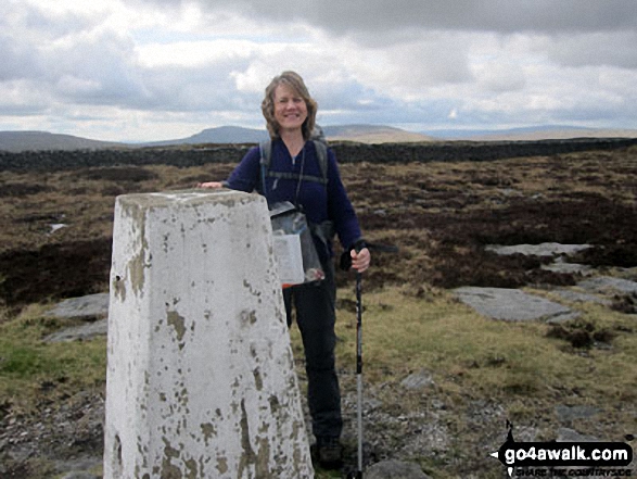
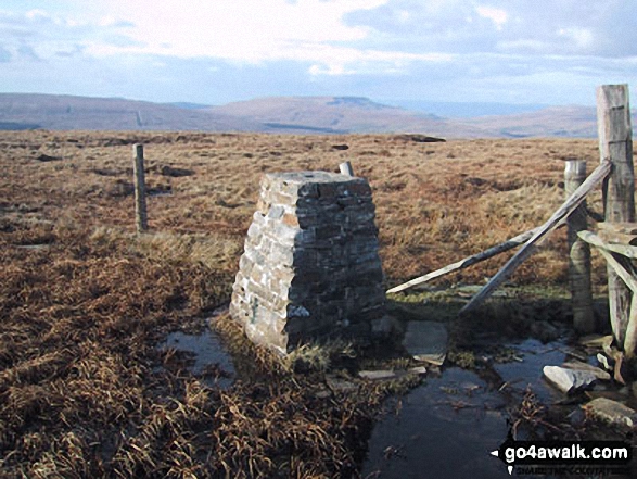
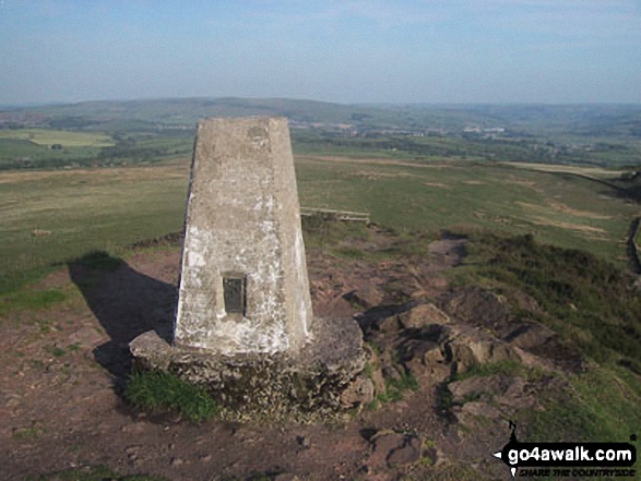
 Whernside in The Southern Dales Area of The Yorkshire Dales


