   |
Vital Statistics:
| Length: | 7¾mls (12.5km) |
| Ascent: | 1,574ft (480m) |
| Time: | 4½hrs |
| Grade: |  |
Route outline for walk ny109:
Ribblehead - Blea Moor - Force Gill - Grain Ing - Whernside - Broadrake Farm - Ivescar Farm - Ribblehead
Points of Interest/Notes on this walk:
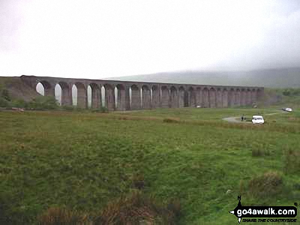
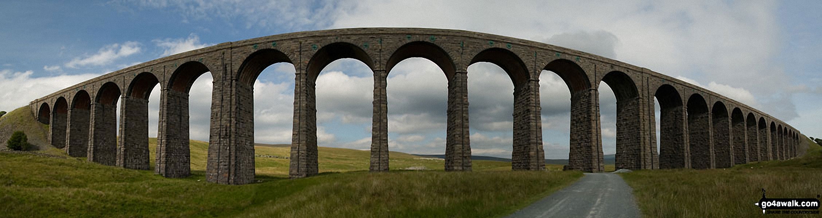
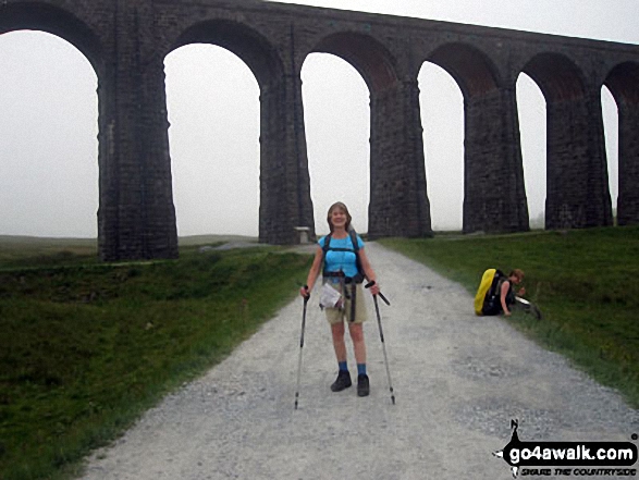
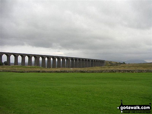
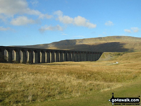
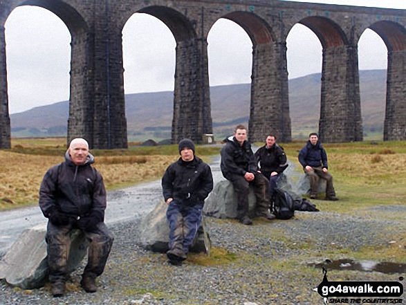
The Ribblehead Viaduct's 24 arches carry the famous Settle to Carlisle Railway Line for 400m some 30m above the surrounding countryside. Considered one of the great engineering feats of the 19th Century, there is a museum dedicated to the history of the line housed in Ribblehead Station.
Peaks, Summits and Tops reached on this walk:
 1 English Mountain |
 0 Wainwrights |
 1 English Nuttall |
 0 English Deweys |
 0 Wainwright Outlying Fells |
 1 Marilyn |
 0 Bridgets |
Peak Bagging Statistics for this walk:
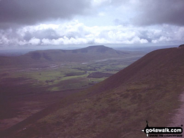
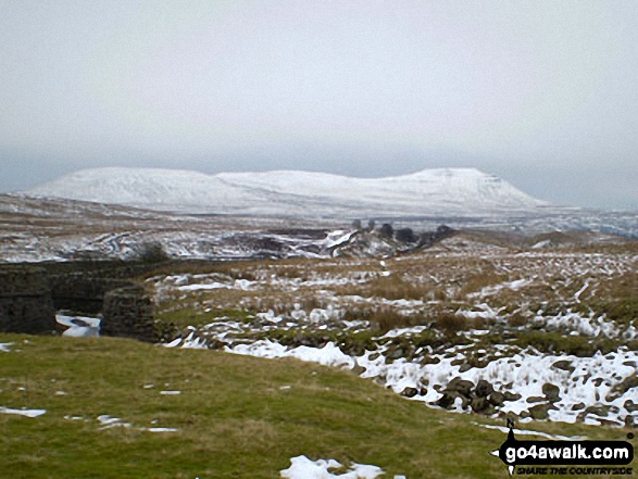
The highest point of this walk is Whernside at 736m (2416ft). Whernside is classified as an English Mountain (Hewitt) (76th highest in England, 131st highest in England & Wales)
Whernside is also known as an English Nuttall (95th highest in England, 162nd highest in England & Wales) and an English Marilyn (25th highest in England, 513th highest in the UK).
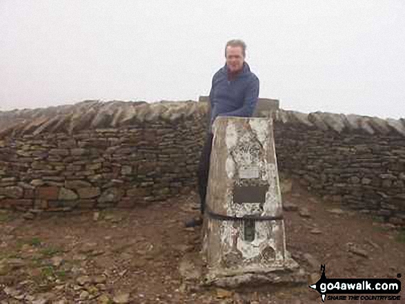
The summit of Whernside is marked by an Ordnance Survey Trig Point. Whernside is the highest point in The Yorkshire Dales National Park and the highest point in the county of North Yorkshire.
You can find this walk and other nearby walks on these unique free-to-access Interactive Walk Planning Maps:
1:25,000 scale OS Explorer Map (orange/yellow covers):
1:50,000 scale OS Landranger Map (pink/magenta covers):
Some Photos and Pictures from Walk ny109 Whernside from Ribblehead Viaduct
In no particular order . . .
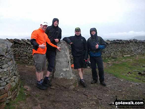
Phil, Carl, Chris and Charlie - 1st time Yorkshire 3 Peakers at Whernside summit
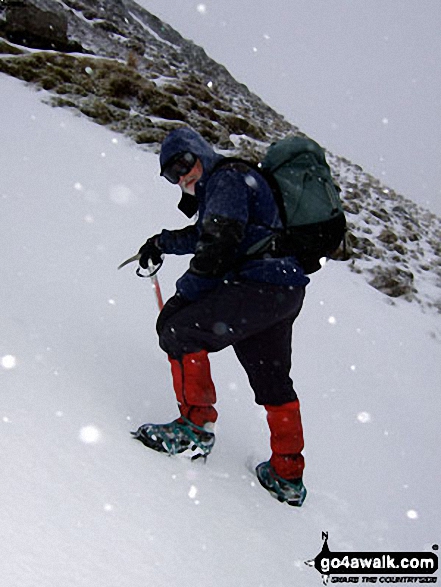
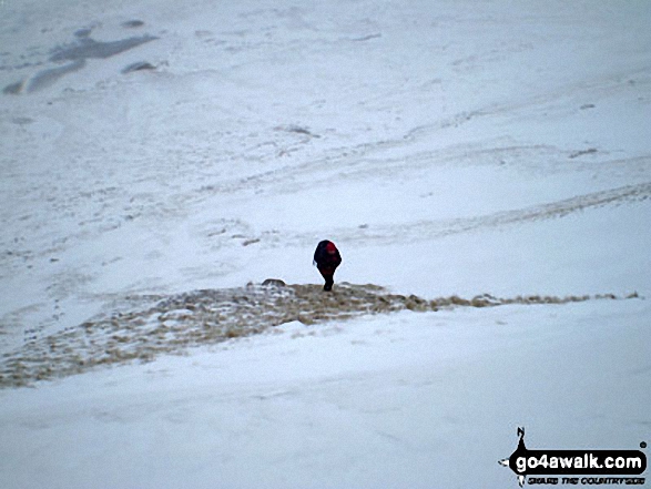
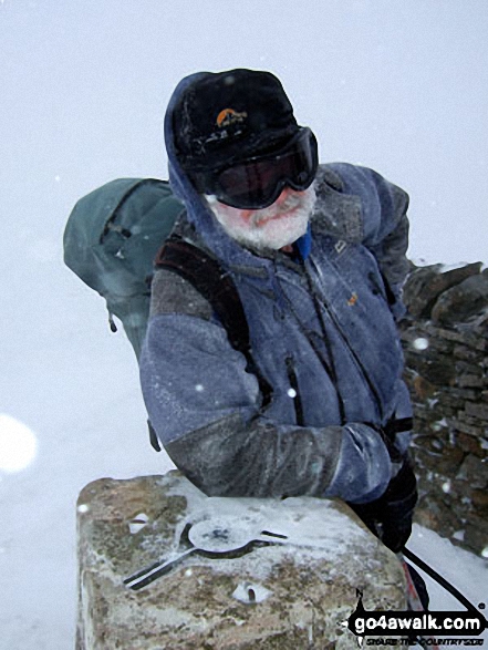
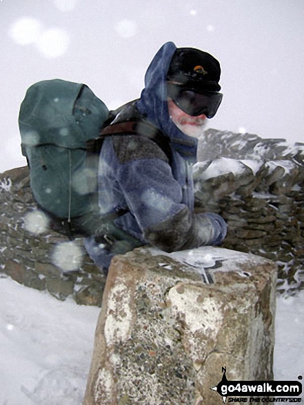
Mike (go4awalk.com editor) practising his crampons and ice-axe technique in the snow on Whernside
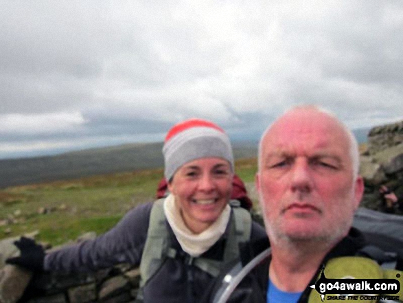
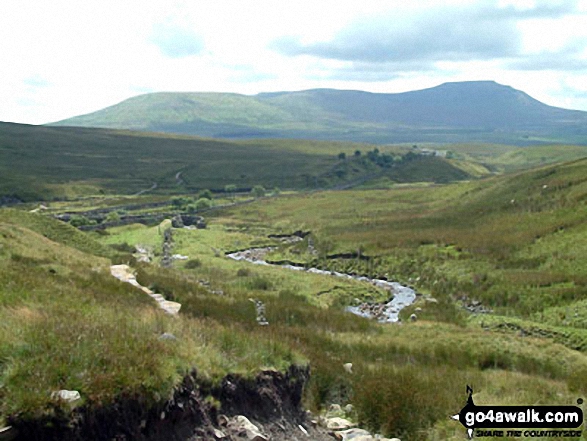
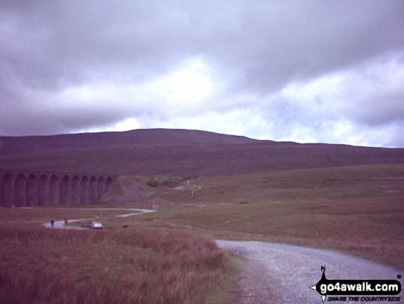
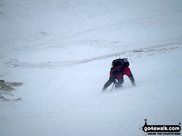
The Yorkshire Three Peaks Challenge - approaching Whernside from Ribblehead
. . . load all 39 walk photos from Walk ny109 Whernside from Ribblehead Viaduct
Send us your photographs and pictures from your walks and hikes
We would love to see your photographs and pictures from walk ny109 Whernside from Ribblehead Viaduct. Send them in to us as email attachments (configured for any computer) along with your name and where the picture was taken to:
and we shall do our best to publish them.
(Guide Resolution = 300dpi. At least = 660 pixels (wide) x 440 pixels (high).)

You can also submit photos from walk ny109 Whernside from Ribblehead Viaduct via our Facebook Page.
NB. Please indicate where each photo was taken.


