   |
Vital Statistics:
| Length: | 11½mls (18.5km) |
| Ascent: | 1,913ft (583m) |
| Time: | 6¼hrs |
| Grade: |  |
Route outline for walk ny117:
Nidderdale - Scar House Reservoir - Nidderdale - River Nidd - Carle Fell Road - Wench Gill - Little Whernside - Nidd Head - Black Dike Hole - Blackfell Top - Great Whernside - Stone Beck - Angram Reservoir - Scar House Reservoir - Nidderdale
Peaks, Summits and Tops reached on this walk:
 1 English Mountain |
 0 Wainwrights |
 1 English Nuttall |
 1 English Dewey |
 0 Wainwright Outlying Fells |
 1 Marilyn |
 0 Bridgets |
Peak Bagging Statistics for this walk:
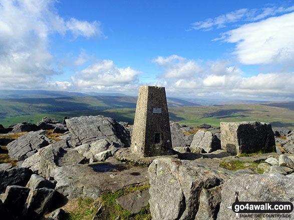
The highest point of this walk is Great Whernside at 704m (2310ft). Great Whernside is classified as an English Mountain (Hewitt) (102nd highest in England, 168th highest in England & Wales)
Great Whernside is also known as an English Nuttall (127th highest in England, 211th highest in England & Wales) and an English Marilyn (31st highest in England, 584th highest in the UK).
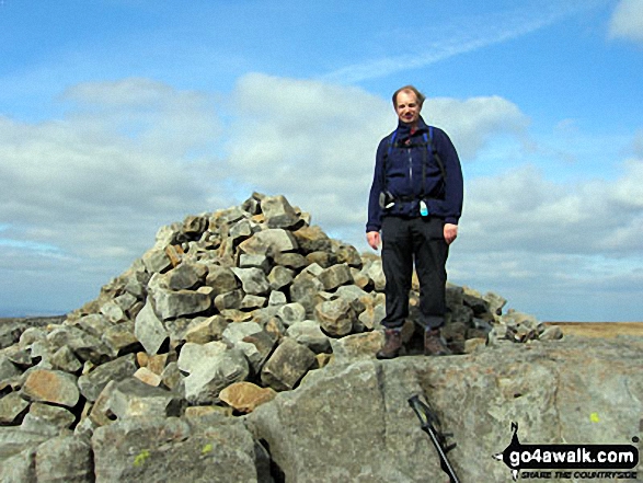
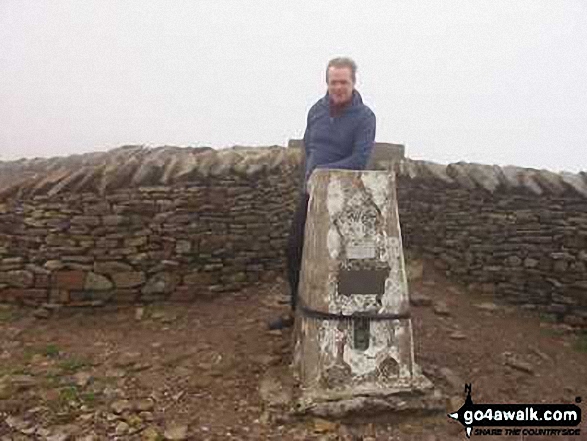
The summit of Great Whernside is marked by an Ordnance Survey Trig Point.
Completing this walk will also take you to the top of Little Whernside at 604m (1982ft). Little Whernside is also known as an English Dewey (6th highest in England, 15th in England & Wales)
Free-to-access Interactive Walk Planning Maps:
1:25,000 scale OS Explorer Map (orange/yellow covers):
1:50,000 scale OS Landranger Maps (pink/magenta covers):
An Interactive Walk Planning Map for OS Landranger 99 Northallerton & Ripon, Pateley Bridge & Leyburn is not currently available
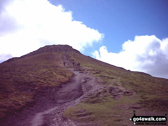
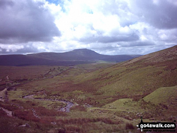
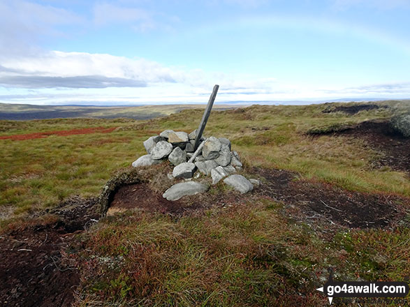
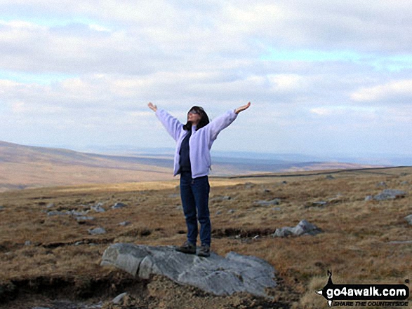
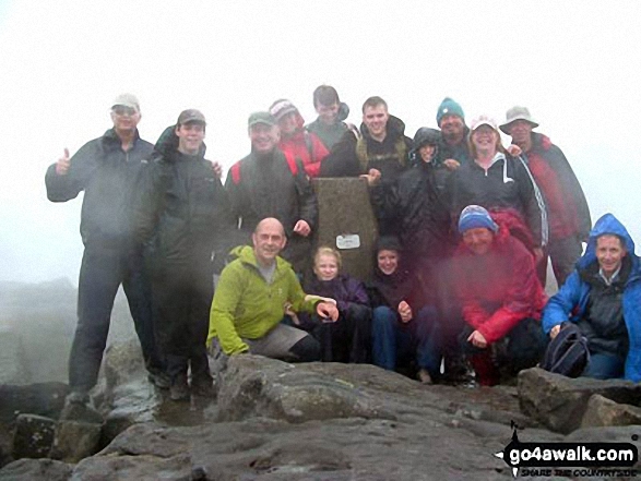
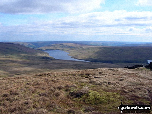
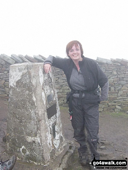
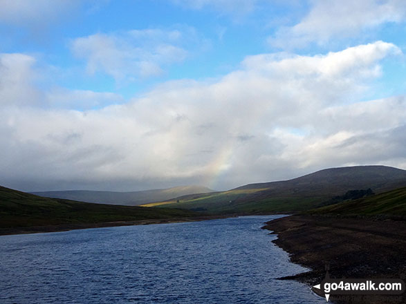
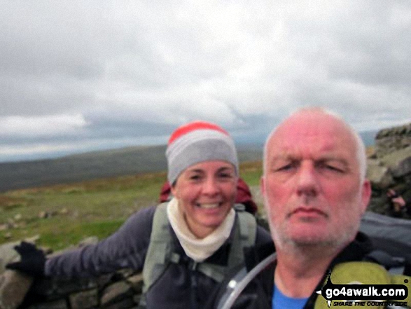
Some Photos and Pictures from Walk ny117 Little Whernside and Great Whernside from Scar House Reservoir, Nidderdale
In no particular order . . .
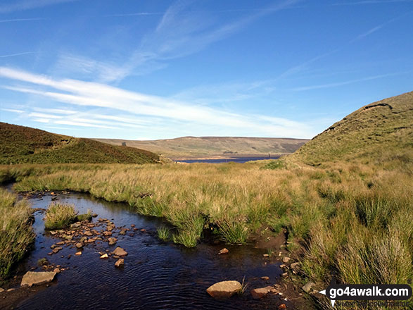
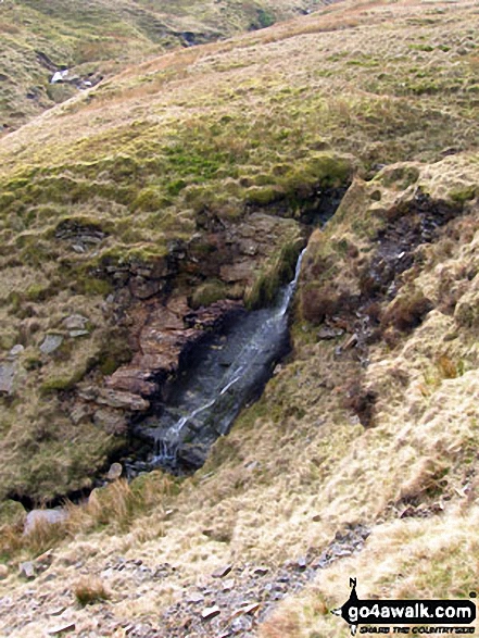
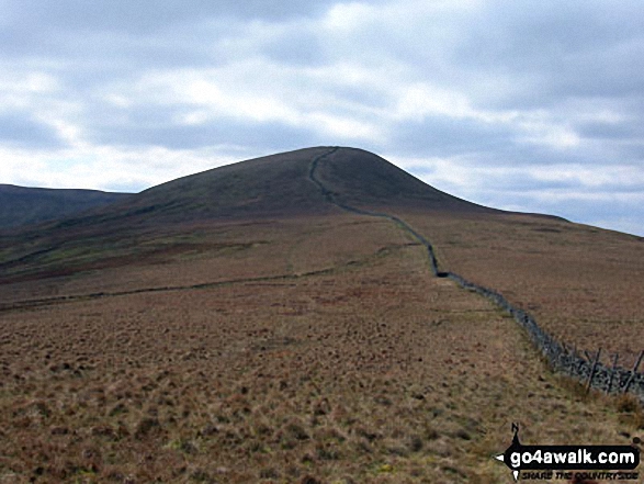
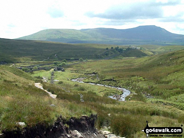
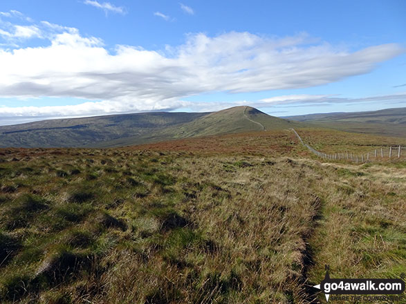
One of the many streams that flow into Stone Beck on the lower slopes of Great Whernside
Send us your photographs and pictures from your walks and hikes
We would love to see your photographs and pictures from walk ny117 Little Whernside and Great Whernside from Scar House Reservoir, Nidderdale. Send them in to us as email attachments (configured for any computer) along with your name and where the picture was taken to:
and we shall do our best to publish them.
(Guide Resolution = 300dpi. At least = 660 pixels (wide) x 440 pixels (high).)

You can also submit photos from walk ny117 Little Whernside and Great Whernside from Scar House Reservoir, Nidderdale via our Facebook Page.
NB. Please indicate where each photo was taken.


