Mountain (Hewitt), Nuttall, Marilyn & OS Trig Point Icon

Whernside
736m (2416ft)


The Southern Dales Area, The Yorkshire Dales, North Yorkshire/Cumbria, England

Whernside is the highest point in The Yorkshire Dales National Park and the highest point in the county of North Yorkshire.

The summit of Whernside is marked by an Ordnance Survey Trig Point.


Record Whernside as Bagged, Climbed & Conquered

English Mountain Icon

English Mountain
76th highest in England,
131st in England & Wales

English Nuttall Icon

English Nuttall
95th highest in England,
162nd in England & Wales

English Marilyn Icon

English Marilyn
25th highest in England,
513th highest in Great Britain

English Trig Point Icon


English Trig Point (Pillar)

Walk Whernside walking UK Mountains in The Southern Dales Area The Yorkshire Dales National Park North YorkshireCumbrian, England

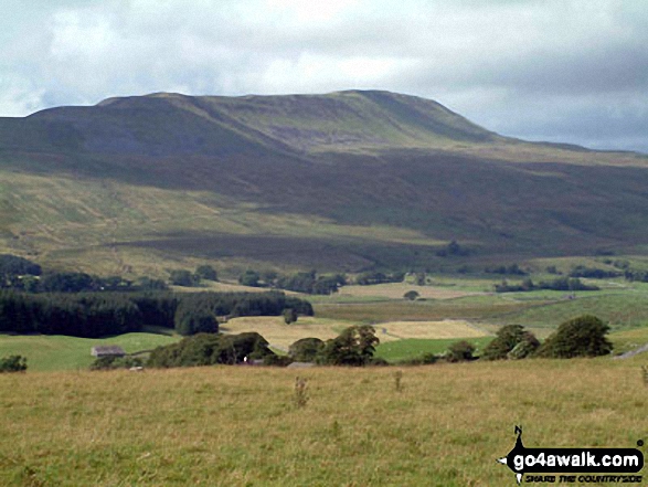
Whernside from Chapel-le-Dale

Photo: David Hayter


Not familiar with this top?

How is Whernside classified?

Download 5 easy-to-follow, circular walks that climb Whernside

See the location of Whernside and all 5 walks on an interactive Google Map

See the location of Whernside on an interactive Google Bagging Map

See downloadable Bagging Map in PDF format that includes Whernside

Read walk reports from hikers who have already bagged Whernside

View more photographs & pictures of views from, on or of Whernside


You can walk to the top of Whernside by using any of these 5 easy‑to‑follow route maps:
Walking Boot Print Icon

Walk ny109 Whernside from Ribblehead Viaduct

The Yorkshire Dales' Highest Point

Walk GPS Icon
Walk GPX Icon
Walk PDF Icon

Vital Statistics:

Length: 7.75ml (12.5km)
Ascent:1,574ft (480m)
Time:4½ hrs
Grade:Walk Grade 5 Icon (Moderate)
Walking Boot Print Icon

Walk ny332 The Yorkshire Three Peaks Challenge as a 3 day walk - Day 2 from Ribblehead

The Yorkshire Three Peaks - the civilised way

Walk GPS Icon
Walk GPX Icon
Walk PDF Icon

Vital Statistics:

Length: 8.75ml (14km)
Ascent:1,772ft (540m)
Time:5 hrs
Grade:Walk Grade 6 Icon (Moderate)
Walking Boot Print Icon

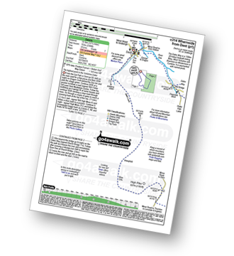
Walk c314 Whernside from Dent

The highest point in the Yorkshire Dales

Walk GPS Icon
Walk GPX Icon
Walk PDF Icon

Vital Statistics:

Length: 12.25ml (19.5km)
Ascent:2,306ft (703m)
Time:6.70hrs
Grade:Walk Grade 7 Icon (Hard)
Walking Boot Print Icon

Walk ny322 The Yorkshire Three Peaks Challenge as a 2 day walk - Day 2 from Horton in Ribblesdale

Do the Yorkshire Three Peaks over a weekend

Walk GPS Icon
Walk GPX Icon
Walk PDF Icon

Vital Statistics:

Length: 14ml (22.5km)
Ascent:3,207ft (977m)
Time:8½ hrs
Grade:Walk Grade 8 Icon (Hard)
Walking Boot Print Icon

Walk ny101 The Yorkshire Three Peaks from Horton in Ribblesdale

Easy walking - but very arduous, very long and with 3 big ascents

Walk GPS Icon
Walk GPX Icon
Walk PDF Icon

Vital Statistics:

Length: 24ml (38.5km)
Ascent:5,297ft (1,614m)
Time:14 hrs
Grade:Walk Grade 9 Icon (Very Hard)

See Whernside and the surrounding tops on our free-to-access 'Google Style' Peak Bagging Maps:

Find Google Maps Peak Bagging Map Icon

The Whole of The Yorkshire Dales National Park

Find Google Maps Peak Bagging Map Icon

The Southern Dales Area of The Yorkshire Dales National Park


See Whernside and the surrounding tops on our downloadable Peak Bagging Map in PDF format:

Find PDF Peak Bagging Map Icon

-The Southern Dales Area of The Yorkshire Dales National Park

NB: Whether you print off a copy or download it to your phone, this PDF Peak Baggers' Map might prove incredibly useful when your are up there on the tops and you cannot get a phone signal.


You can find Whernside & all the walks that climb it on these unique free-to-access Interactive Walk Planning Maps:

The Yorkshire Dales National Park


1:25,000 scale OS Explorer Map (orange/yellow covers):

OS Explorer OL2 Yorkshire Dales - Southern & Western areas


1:50,000 scale OS Landranger Map (pink/magenta covers):

OS Landranger 98 Wensleydale & Upper Wharfedale


Other walkers who hiked, climbed, bagged and summited Whernside Fellow go4awalkers who have already walked, climbed, summited & bagged Whernside

Hazel Gilbert walked up on August 22nd, 2007 [with] Lawrence

David Peebles climbed it on June 20th, 2024 [from/via/route] parked at Horton in Ribblesdale [with] Solo [weather] Mixed Weather. Warm but wet a bits - Great walk.

Nina Adams bagged it on August 28th, 2022 [from/via/route] Parked at the pub, Old Hill Inn, for lunch (Not great food) Ribblehead - Blea Moor - Force Gill - Grain Ing - Whernside - Broadrake Farm - Ivescar Farm - Ribblehead [with] Craig and George [weather] Cloudy Feels like 18.3° 4 kph WNW wind 74% humidity

Sarah Moore hiked it on July 30th, 2022 [from/via/route] Three Peaks [with] On my own - but thanks to Steve the Scouser...the 2 lads from Grimsby and the 4 guys who finished at the same time! [weather] Awful!!

Ruth Nolan summited on June 27th, 2022 [from/via/route] Dent, Dales High Way, tarns [with] Solo [weather] Some clouds, light breeze, mostly bright with occasional shower

Keith Axell conquered it on August 7th, 2021 [from/via/route] Three Peaks route anti-clockwise from Horton [with] Jeff Young [weather] Wet, windy & mild. No visibility near top up.

Carl Tillotson scaled on August 8th, 2021 [from/via/route] route from Ribble Viaduct [with] June [weather] Broken cloud with occasional spittle of rain, windy.

Jeff Stott walked up on June 29th, 2021 [from/via/route] Ribblehead [with] Shell [weather] Good - Great walk. 1st mountain... Epic :D

David Hughes climbed it on December 22nd, 2010 [with] DD DG Waz

Tony Halliday bagged it on August 11th, 2020 [from/via/route] camped at Horton in ribblesdale but drove & parked near the viaduct started & ended walk here [with] sally halliday jimmy boo and George our 3 dogs [weather] drizzle to start with poor visability at summit but beautiful weather on way down - not too busy views not great due to cloud however a great days walking 2nd of the 3 peaks over 3 days

To add (or remove) your name and experiences on this page - Log On and edit your Personal Mountain Bagging Record

. . . [see more walk reports]


More Photographs & Pictures of views from, on or of Whernside

Practising my ice-axe and crampon technique in the snow on Whernside

Practising my ice-axe and crampon technique in the snow on Whernside

Photo: Mike Knipe (222)

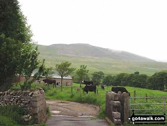
Whernside from nr Broadrake Farm

Whernside from nr Broadrake Farm

Photo: Wayne Hill (52)

The Yorkshire Three Peaks Challenge - Pen-y-ghent from Whernside

The Yorkshire Three Peaks Challenge - Pen-y-ghent from Whernside

Photo: William Ringwood (4)

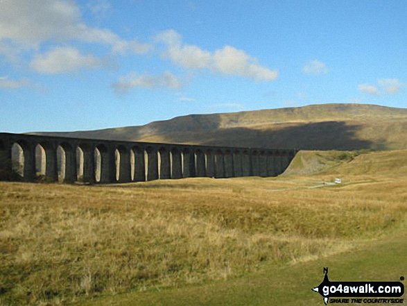
Ribblehead Viaduct with Whernside beyond

Ribblehead Viaduct with Whernside beyond

Photo: Wayne Hill (51)

Rainbow over Little Whernside

Rainbow over Little Whernside

Photo: Christine Shepherd (690)

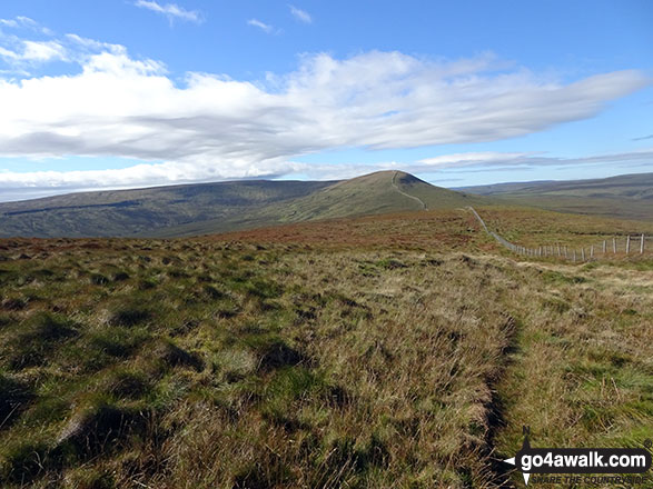
Heading for Whernside from Ribblehead on The Yorkshire Three Peaks Challenge

Heading for Whernside from Ribblehead on The Yorkshire Three Peaks Challenge

Photo: David Hayter (323)

Little Whernside summit cairn

Little Whernside summit cairn

Photo: Christine Shepherd (691)

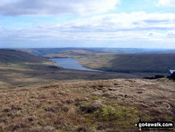
Scar House Reservoir from Little Whernside

Scar House Reservoir from Little Whernside

Photo: Neil Fretwell (2)

On Great Whernside summit

On Great Whernside summit

Photo: Neil Fretwell (4)

Dentdale with Whernside (left) Calf Top (centre) and Aye Gill Pike (right) from Great Knoutberry Hill (Widdale Fell)

Dentdale with Whernside (left) Calf Top (centre) and Aye Gill Pike (right) from Great Knoutberry Hill (Widdale Fell)

Photo: Dick Rix (2)

On the summit of Whernside in the snow

On the summit of Whernside in the snow

Photo: Mike Knipe (223)

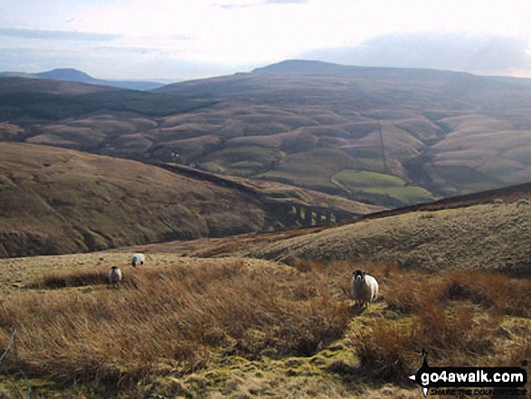
The Arten Gill Beck railway viaduct with Ingleborough (far left) and Whernside (centre) on the horizon from Great Knoutberry Hill (Widdale Fell)
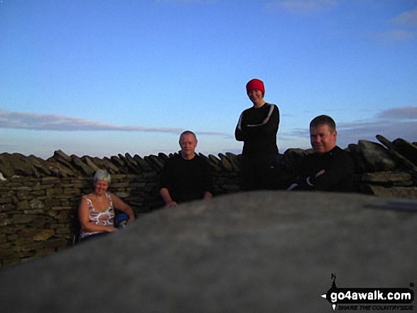
The Arten Gill Beck railway viaduct with Ingleborough (far left) and Whernside (centre) on the horizon from Great Knoutberry Hill (Widdale Fell)

Photo: Dick Rix (3)

The Yorkshire Three Peaks Challenge - Ingleborough from Whernside

The Yorkshire Three Peaks Challenge - Ingleborough from Whernside

Photo: William Ringwood (5)

On Whernside Summit - taking a breather two thirds of the way round the Yorkshire Three Peaks Challenge Walk

On Whernside Summit - taking a breather two thirds of the way round the Yorkshire Three Peaks Challenge Walk

Photo: David Buckley (1)

Practising my ice-axe arrest technique Whernside in the snow

Practising my ice-axe arrest technique Whernside in the snow

Photo: Mike Knipe (225)

Pen-y-ghent from Greensett Moss, Whernside

Pen-y-ghent from Greensett Moss, Whernside

Photo: David Hayter (325)

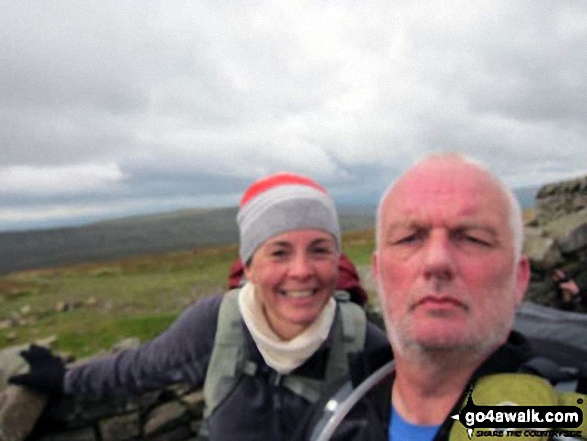
Me and my mate Mike on Whernside

Me and my mate Mike on Whernside

Photo: Karen Parry (2)

The path from Little Whernside to Great Whernside

The path from Little Whernside to Great Whernside

Photo: Christine Shepherd (692)

Ribblehead Viaduct with Whernside beyond

Ribblehead Viaduct with Whernside beyond

Photo: Phil Hart (2)

Me on Great Whernside summit

Me on Great Whernside summit

Photo: Neil Fretwell (5)


. . . see all 54 walk photographs & pictures of views from, on or of Whernside


Send us your photographs and pictures on, of, or from Whernside

If you would like to add your walk photographs and pictures featuring views from, on or of Whernside to this page, please send them as email attachments (configured for any computer) along with your name to:


and we shall do our best to publish them.

(Guide Resolution = 300dpi. At least = 660pixels (wide) x 440 pixels (high).)

Send us your photographs and pictures on, of, or from Whernside via Facebook

You can also submit photos via our Facebook Page.

NB. Please indicate where each photo was taken.


Not familiar with this top?

How is Whernside classified?

Download 5 easy-to-follow, circular walks that climb Whernside

See the location of Whernside and all 5 walks on an interactive Google Map

See the location of Whernside on an interactive Google Bagging Map

See downloadable Bagging Map in PDF format that includes Whernside

Read walk reports from hikers who have already bagged Whernside

View more photographs & pictures of views from, on or of Whernside


Do not miss our pick of the Best Walks in Britain


Follow go4awalk.com on Twitter Follow go4awalk.com on Facebook


Home


Find new Friends to go walking with

Walk all 214 Wainwrights in just 59 Walks. Download GPS Waypoints - Great Walks you must not miss!

Walk The Yorkshire Three Peaks Challenge Walk - All the Latest Route Information, GPS Waypoints and Split Times to keep you on Schedule

Walk The British Three Peaks Challenge Walk - All the Latest Route Information and GPS Waypoints

See our pick of The Best Walks in The Lake District - Great Walks you must not miss!

Walk our pick of the Best Lake District Ridge Walks - Great Walks you must not miss!

Walk our pick of the Best Lake District Walks to do in the rain - Great Walks you must not miss!

Walk our pick of The Best Walks in Snowdonia - Great Walks you must not miss!

Walk our pick of The Best Ridge Walks in Wales - Walks you must not miss!

Walk our pick of The Best Walks in The Brecon Beacons - Great Walks you must not miss!

Walk our pick of The Best Walks in The Yorkshire Dales - Walks you must not miss!

Walk our pick of The Best Walks in The Peak District - Walks you must not miss!

Walk our pick of The Best Walks in The Forest of Bowland - Walks you must not miss!

Walk our pick of The Best Walks in Shropshire - Walks you must not miss!

Walk our pick of The Best Walks in Cheshire - Walks you must not miss!

Walk our pick of The Best Walks in Lancashire - Walks you must not miss!

Not sure where to walk next? Try Peak Bagging - Great Walks you must not miss!

Not sure where to walk next? Walk part of a National Trail - Great Walks you must not miss!

Walks with Downloadable and Uploadable GPS Waypoint Data

Walking Kit and Gear Tested by Walkers

Full Site Search
Do not miss our pick of the Best Walks in Britain