   |
Vital Statistics:
| Length: | 11mls (17.5km) |
| Ascent: | 1,181ft (360m) |
| Time: | 5¼hrs |
| Grade: |  |
Route outline for walk ny161:
Yarnbury - Grassington Lead Mines - Duke's New Road (Track) - Hebden Beck - Cupola Corner - Deep Cut - Grassington Moor - Rather Standard Side - Sleet Moor - Rather Standard End - Henstone Band - Meugher Dike - Meugher Drive - Meugher - Friar Hood - Sandy Gate - Sandy Gate Pike Shelter - Mossdale - Mossdale Shooting Lodge - Mossdale Beck - Mossdale Scar - Bycliffe Road (Track) - Bycliffe - Kelber - Seeds Hill - Green Hill Pasture - Back Pasture - Downs Pasture - High Barn (ruin) - New Pasture Edge - Yarnbury
Peaks, Summits and Tops reached on this walk:
 0 English Mountains |
 0 Wainwrights |
 0 English Nuttalls |
 1 English Dewey |
 0 Wainwright Outlying Fells |
 0 Marilyns |
 0 Bridgets |
Peak Bagging Statistics for this walk:
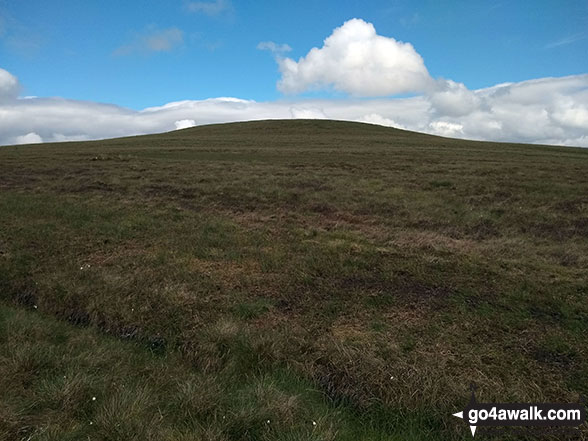
The highest point of this walk is Meugher at 575m (1887ft). Meugher is also known as an English Dewey (34th highest in England, 78th in England & Wales) The summit of Meugher is marked by an Ordnance Survey Trig Point.
You can find this walk and other nearby walks on these unique free-to-access Interactive Walk Planning Maps:
1:25,000 scale OS Explorer Map (orange/yellow covers):
1:50,000 scale OS Landranger Map (pink/magenta covers):
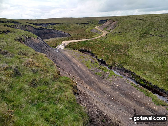
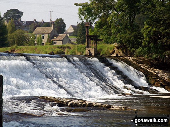
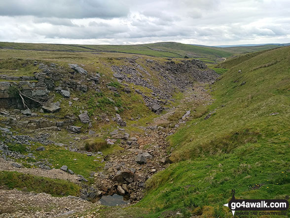
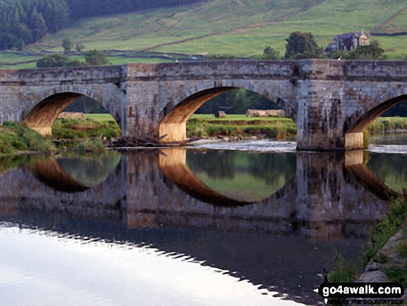
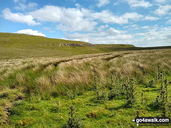
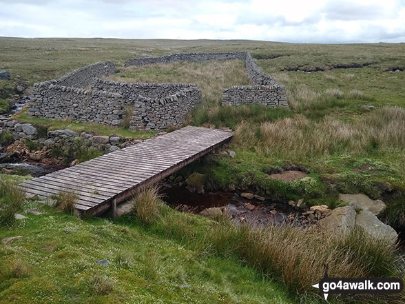
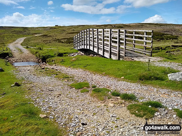
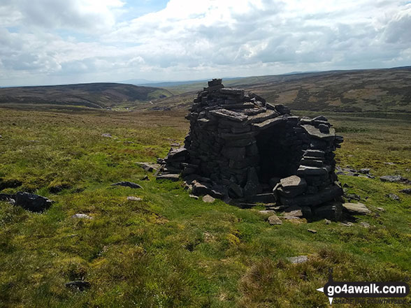
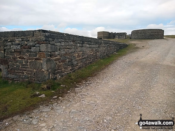
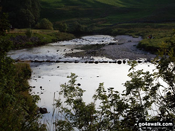
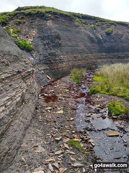
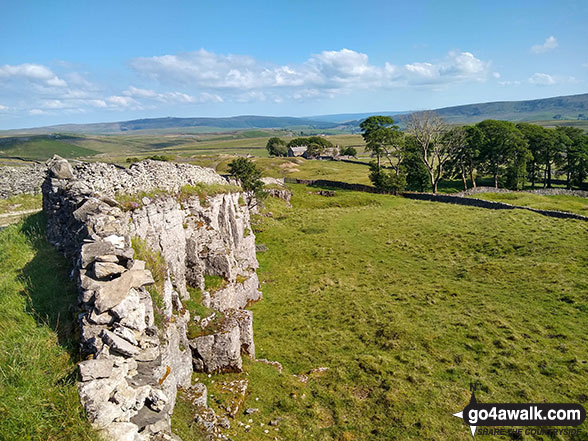
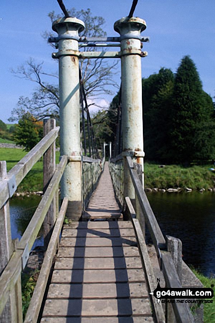
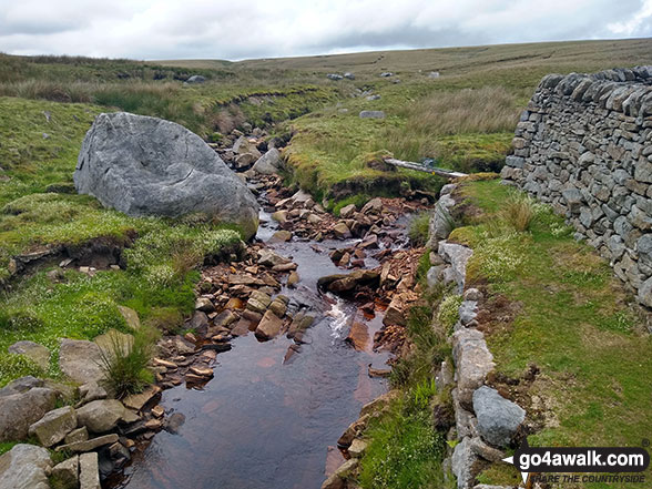
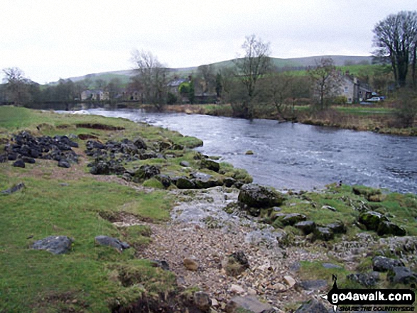
Some Photos and Pictures from Walk ny161 Meugher from Yarnbury, Grassington
In no particular order . . .
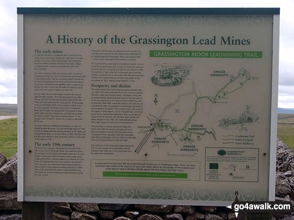
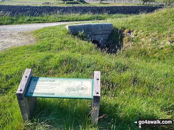
Information Board detailing the history of the Grassington Lead Mines at Yarnbury
. . . load all 40 walk photos from Walk ny161 Meugher from Yarnbury, Grassington
Send us your photographs and pictures from your walks and hikes
We would love to see your photographs and pictures from walk ny161 Meugher from Yarnbury, Grassington. Send them in to us as email attachments (configured for any computer) along with your name and where the picture was taken to:
and we shall do our best to publish them.
(Guide Resolution = 300dpi. At least = 660 pixels (wide) x 440 pixels (high).)

You can also submit photos from walk ny161 Meugher from Yarnbury, Grassington via our Facebook Page.
NB. Please indicate where each photo was taken.


