Wales - a fully detailed list of all the Mountains, Peaks, Tops and Hills (Page 5 of 7)
Wales is defined as the whole of the principality of Wales which includes the National Parks of Snowdonia,
Bannau Brycheiniog (The Brecon Beacons) and The Pembrokeshire Coast as well as Mynyddoedd Cambria (The Cambrian Mountains), Radnor Forest, Anglesey, The Llynn Peninsula, The Preseli Mountains and The Gower Peninsula.
If you count only the Nuttalls there are 188 tops to climb, bag & conquer and the highest point is Snowdon (Yr Wyddfa) at 1,085m (3,561ft).
To see these Mountains, Peaks, Tops and Hills displayed in different ways - see the options in the left-hand column and towards the bottom of this page.
LOG ON and RELOAD this page to show which Mountains, Peaks, Tops and Hills you have already climbed, bagged & conquered [. . . more details]
Page 5 of 7 Go to page:
1 2 3 4 5 6 7 |
See this list in: Alphabetical Order
| Height Order‡
To reverse the order select the link again.
Mountain, Peak, Top or Hill:
Bagged
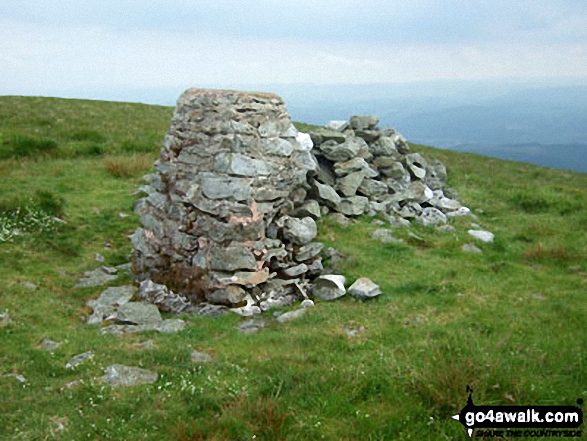
121. Tarren y Gesail
667m (2,189ft)
Mountain (91st in Wales, 222nd in England & Wales)
Nuttall (121st in Wales, 295th in England & Wales)
Marilyn (43rd in Wales, 661st in GB)
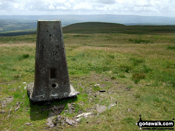
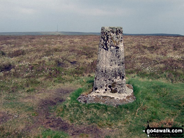
OS Trig Point
To walk, climb & bag Tarren y Gesail use this easy-to-follow walk:
See the location of Tarren y Gesail and walks up it on a google MapTarren y Gesail is on interactive maps:
OS Explorer (Orange Covers): OL23
OS Landranger (Pink Covers): 124
Tarren y Gesail is on downloadable PDF you can Print or Save to your Phone:
|
122. Post Gwyn
665m (2,182ft)
Mountain (92nd in Wales, 223rd in England & Wales)
Nuttall (122nd in Wales, 297th in England & Wales)
To walk, climb & bag Post Gwyn use either of these easy-to-follow walks:
See the location of Post Gwyn and walks up it on a google MapPost Gwyn is on interactive maps:
OS Explorer (Orange Covers): 255
OS Landranger (Pink Covers): 125
Post Gwyn is on downloadable PDF you can Print or Save to your Phone:
|
123. Pumlumon Fach
664m (2,179ft)
Nuttall (123rd in Wales, 299th in England & Wales)
To walk, climb & bag Pumlumon Fach use this easy-to-follow walk:
See the location of Pumlumon Fach and walks up it on a google MapPumlumon Fach is on interactive maps:
OS Explorer (Orange Covers): 213
OS Landranger (Pink Covers): 135
A downloadable go4awalk.com PDF Peak Bagging Map featuring Pumlumon Fach will be available soon. |
124. Fan Nedd
663m (2,175ft)
Mountain (93rd in Wales, 226th in England & Wales)
Nuttall (124th in Wales, 302nd in England & Wales)
Marilyn (44th in Wales, 670th in GB)
OS Trig Point
To walk, climb & bag Fan Nedd use this easy-to-follow walk:
See the location of Fan Nedd and walks up it on a google MapFan Nedd is on interactive maps:
OS Explorer (Orange Covers): OL12
OS Landranger (Pink Covers): 160
Fan Nedd is on downloadable PDF you can Print or Save to your Phone:
|
125. Mynydd Llysiau
663m (2,175ft)
Mountain (94th in Wales, 227th in England & Wales)
Nuttall (125th in Wales, 303rd in England & Wales)
To walk, climb & bag Mynydd Llysiau use any of these easy-to-follow walks:
See the location of Mynydd Llysiau and walks up it on a google MapMynydd Llysiau is on interactive maps:
OS Explorer (Orange Covers): OL13
OS Landranger (Pink Covers): 161
Mynydd Llysiau is on downloadable PDF you can Print or Save to your Phone:
|
126. Dduallt (Arenigs)
662m (2,172ft)
Mountain (97th in Wales, 232nd in England & Wales)
Nuttall (126th in Wales, 305th in England & Wales)
To walk, climb & bag Dduallt (Arenigs) use this easy-to-follow walk:
See the location of Dduallt (Arenigs) and walks up it on a google MapDduallt (Arenigs) is on interactive maps:
OS Explorer (Orange Covers): OL23
OS Landranger (Pink Covers): 124 and
125
Dduallt (Arenigs) is on downloadable PDF you can Print or Save to your Phone:
|
127. Manod Mawr
661m (2,169ft)
Mountain (95th in Wales, 230th in England & Wales)
Nuttall (127th in Wales, 307th in England & Wales)
Marilyn (45th in Wales, 674th in GB)
OS Trig Point
To walk, climb & bag Manod Mawr use this easy-to-follow walk:
See the location of Manod Mawr and walks up it on a google MapManod Mawr is on interactive maps:
OS Explorer (Orange Covers): OL18
OS Landranger (Pink Covers): 124
Manod Mawr is on downloadable PDF you can Print or Save to your Phone:
|
128. Tyrrau Mawr (Craig-las)
661m (2,169ft)
Mountain (96th in Wales, 231st in England & Wales)
Nuttall (128th in Wales, 308th in England & Wales)
To walk, climb & bag Tyrrau Mawr (Craig-las) use either of these easy-to-follow walks:
See the location of Tyrrau Mawr (Craig-las) and walks up it on a google MapTyrrau Mawr (Craig-las) is on interactive maps:
OS Explorer (Orange Covers): OL23
OS Landranger (Pink Covers): 124
Tyrrau Mawr (Craig-las) is on downloadable PDF you can Print or Save to your Phone:
|
129. Great Rhos
660m (2,166ft)
Mountain (98th in Wales, 233rd in England & Wales)
Nuttall (129th in Wales, 309th in England & Wales)
Marilyn (46th in Wales, 675th in GB)
OS Trig Point
To walk, climb & bag Great Rhos use this easy-to-follow walk:
See the location of Great Rhos and walks up it on a google MapGreat Rhos is on interactive maps:
OS Explorer (Orange Covers): 200
OS Landranger (Pink Covers): 148
A downloadable go4awalk.com PDF Peak Bagging Map featuring Great Rhos will be available soon. |
130. Foel Rhudd
659m (2,163ft)
Nuttall (130th in Wales, 311th in England & Wales)
To walk, climb & bag Foel Rhudd use this easy-to-follow walk:
See the location of Foel Rhudd and walks up it on a google MapFoel Rhudd is on interactive maps:
OS Explorer (Orange Covers): OL23
OS Landranger (Pink Covers): 124
Foel Rhudd is on downloadable PDF you can Print or Save to your Phone:
|
131. Y Groes Fagl
659m (2,163ft)
Nuttall (131st in Wales, 312th in England & Wales)
To walk, climb & bag Y Groes Fagl use either of these easy-to-follow walks:
See the location of Y Groes Fagl and walks up it on a google MapY Groes Fagl is on interactive maps:
OS Explorer (Orange Covers): 255
OS Landranger (Pink Covers): 125
Y Groes Fagl is on downloadable PDF you can Print or Save to your Phone:
|
132. Ysgafell Wen (Far North Top)
659m (2,162ft)
Nuttall (132nd in Wales, 313th in England & Wales)
To walk, climb & bag Ysgafell Wen (Far North Top) use this easy-to-follow walk:
See the location of Ysgafell Wen (Far North Top) and walks up it on a google MapYsgafell Wen (Far North Top) is on interactive maps:
OS Explorer (Orange Covers): OL17
OS Landranger (Pink Covers): 117
Ysgafell Wen (Far North Top) is on downloadable PDF you can Print or Save to your Phone:
|
133. Cribin Fawr
658m (2,161ft)
Mountain (99th in Wales, 235th in England & Wales)
Nuttall (133rd in Wales, 314th in England & Wales)
To walk, climb & bag Cribin Fawr use either of these easy-to-follow walks:
See the location of Cribin Fawr and walks up it on a google MapCribin Fawr is on interactive maps:
OS Explorer (Orange Covers): OL23
OS Landranger (Pink Covers): 124
Cribin Fawr is on downloadable PDF you can Print or Save to your Phone:
|
134. Manod Mawr (North Top)
658m (2,160ft)
Mountain (100th in Wales, 237th in England & Wales)
Nuttall (134th in Wales, 316th in England & Wales)
To walk, climb & bag Manod Mawr (North Top) use this easy-to-follow walk:
See the location of Manod Mawr (North Top) and walks up it on a google MapManod Mawr (North Top) is on interactive maps:
OS Explorer (Orange Covers): OL17 and
OL18
OS Landranger (Pink Covers): 115
Manod Mawr (North Top) is on downloadable PDF you can Print or Save to your Phone:
|
135. Pen Twyn Mawr
658m (2,160ft)
Nuttall (135th in Wales, 317th in England & Wales)
To walk, climb & bag Pen Twyn Mawr use either of these easy-to-follow walks:
See the location of Pen Twyn Mawr and walks up it on a google MapPen Twyn Mawr is on interactive maps:
OS Explorer (Orange Covers): OL13
OS Landranger (Pink Covers): 161
Pen Twyn Mawr is on downloadable PDF you can Print or Save to your Phone:
|
136. Moel yr Ogof
655m (2,150ft)
Mountain (101st in Wales, 240th in England & Wales)
Nuttall (136th in Wales, 322nd in England & Wales)
To walk, climb & bag Moel yr Ogof use this easy-to-follow walk:
See the location of Moel yr Ogof and walks up it on a google MapMoel yr Ogof is on interactive maps:
OS Explorer (Orange Covers): OL17
OS Landranger (Pink Covers): 115
Moel yr Ogof is on downloadable PDF you can Print or Save to your Phone:
|
137. Allt Lwyd
654m (2,146ft)
Nuttall (137th in Wales, 324th in England & Wales)
To walk, climb & bag Allt Lwyd use any of these easy-to-follow walks:
See the location of Allt Lwyd and walks up it on a google MapAllt Lwyd is on interactive maps:
OS Explorer (Orange Covers): OL12
OS Landranger (Pink Covers): 160
Allt Lwyd is on downloadable PDF you can Print or Save to your Phone:
|
138. Mynydd Tal-y-mignedd
653m (2,143ft)
Mountain (102nd in Wales, 244th in England & Wales)
Nuttall (138th in Wales, 327th in England & Wales)
To walk, climb & bag Mynydd Tal-y-mignedd use either of these easy-to-follow walks:
See the location of Mynydd Tal-y-mignedd and walks up it on a google MapMynydd Tal-y-mignedd is on interactive maps:
OS Explorer (Orange Covers): OL17
OS Landranger (Pink Covers): 115
Mynydd Tal-y-mignedd is on downloadable PDF you can Print or Save to your Phone:
|
139. Waun Garnedd-y-Filiast
650m (2,136ft)
Nuttall (139th in Wales, 330th in England & Wales)
To walk, climb & bag Waun Garnedd-y-Filiast use either of these easy-to-follow walks:
See the location of Waun Garnedd-y-Filiast and walks up it on a google MapWaun Garnedd-y-Filiast is on interactive maps:
OS Explorer (Orange Covers): OL18
OS Landranger (Pink Covers): 124 and
125
Waun Garnedd-y-Filiast is on downloadable PDF you can Print or Save to your Phone:
|
140. Black Mixen
650m (2,133ft)
Mountain (103rd in Wales, 248th in England & Wales)
Nuttall (140th in Wales, 332nd in England & Wales)
OS Trig Point
To walk, climb & bag Black Mixen use this easy-to-follow walk:
See the location of Black Mixen and walks up it on a google MapBlack Mixen is on interactive maps:
OS Explorer (Orange Covers): 200
OS Landranger (Pink Covers): 148
A downloadable go4awalk.com PDF Peak Bagging Map featuring Black Mixen will be available soon. |
141. Foel Cwm-Sian Llwyd
648m (2,127ft)
Mountain (104th in Wales, 251st in England & Wales)
Nuttall (141st in Wales, 335th in England & Wales)
OS Trig Point
To walk, climb & bag Foel Cwm-Sian Llwyd use either of these easy-to-follow walks:
See the location of Foel Cwm-Sian Llwyd and walks up it on a google MapFoel Cwm-Sian Llwyd is on interactive maps:
OS Explorer (Orange Covers): 255
OS Landranger (Pink Covers): 125
Foel Cwm-Sian Llwyd is on downloadable PDF you can Print or Save to your Phone:
|
142. Moel-yr-hydd
648m (2,127ft)
Mountain (105th in Wales, 252nd in England & Wales)
Nuttall (142nd in Wales, 336th in England & Wales)
To walk, climb & bag Moel-yr-hydd use any of these easy-to-follow walks:
See the location of Moel-yr-hydd and walks up it on a google MapMoel-yr-hydd is on interactive maps:
OS Explorer (Orange Covers): OL17 and
OL18
OS Landranger (Pink Covers): 115
Moel-yr-hydd is on downloadable PDF you can Print or Save to your Phone:
|
143. Pen Twyn Glas
646m (2,120ft)
Nuttall (143rd in Wales, 339th in England & Wales)
To walk, climb & bag Pen Twyn Glas use any of these easy-to-follow walks:
See the location of Pen Twyn Glas and walks up it on a google MapPen Twyn Glas is on interactive maps:
OS Explorer (Orange Covers): OL13
OS Landranger (Pink Covers): 161
Pen Twyn Glas is on downloadable PDF you can Print or Save to your Phone:
|
144. Pen y Boncyn Trefeilw
646m (2,120ft)
Mountain (107th in Wales, 259th in England & Wales)
Nuttall (144th in Wales, 340th in England & Wales)
To walk, climb & bag Pen y Boncyn Trefeilw use either of these easy-to-follow walks:
See the location of Pen y Boncyn Trefeilw and walks up it on a google MapPen y Boncyn Trefeilw is on interactive maps:
OS Explorer (Orange Covers): OL23
OS Landranger (Pink Covers): 125
Pen y Boncyn Trefeilw is on downloadable PDF you can Print or Save to your Phone:
|
145. Drygarn Fawr
645m (2,116ft)
Mountain (106th in Wales, 256th in England & Wales)
Nuttall (145th in Wales, 341st in England & Wales)
Marilyn (47th in Wales, 702nd in GB)
OS Trig Point
To walk, climb & bag Drygarn Fawr use this easy-to-follow walk:
See the location of Drygarn Fawr and walks up it on a google MapDrygarn Fawr is on interactive maps:
OS Explorer (Orange Covers): 200 and
187
OS Landranger (Pink Covers): 147
A downloadable go4awalk.com PDF Peak Bagging Map featuring Drygarn Fawr will be available soon. |
146. Carnedd Llechwedd-llyfn
643m (2,110ft)
Nuttall (146th in Wales, 342nd in England & Wales)
We hope to have walks that climb & bag Carnedd Llechwedd-llyfn very soon
See the location of Carnedd Llechwedd-llyfn and walks up it on a google MapCarnedd Llechwedd-llyfn is on interactive maps:
OS Explorer (Orange Covers): OL18
OS Landranger (Pink Covers): 124 and
125
Carnedd Llechwedd-llyfn is on downloadable PDF you can Print or Save to your Phone:
|
147. Diffwys (West Top)
643m (2,110ft)
Nuttall (147th in Wales, 343rd in England & Wales)
To walk, climb & bag Diffwys (West Top) use this easy-to-follow walk:
See the location of Diffwys (West Top) and walks up it on a google MapDiffwys (West Top) is on interactive maps:
OS Explorer (Orange Covers): OL18
OS Landranger (Pink Covers): 124
Diffwys (West Top) is on downloadable PDF you can Print or Save to your Phone:
|
148. Gyrn Wigau
643m (2,110ft)
Nuttall (148th in Wales, 344th in England & Wales)
To walk, climb & bag Gyrn Wigau use this easy-to-follow walk:
See the location of Gyrn Wigau and walks up it on a google MapGyrn Wigau is on interactive maps:
OS Explorer (Orange Covers): OL17
OS Landranger (Pink Covers): 115
Gyrn Wigau is on downloadable PDF you can Print or Save to your Phone:
|
149. Moel Lefn
638m (2,094ft)
Mountain (108th in Wales, 262nd in England & Wales)
Nuttall (149th in Wales, 351st in England & Wales)
To walk, climb & bag Moel Lefn use this easy-to-follow walk:
See the location of Moel Lefn and walks up it on a google MapMoel Lefn is on interactive maps:
OS Explorer (Orange Covers): OL17
OS Landranger (Pink Covers): 115
Moel Lefn is on downloadable PDF you can Print or Save to your Phone:
|
150. Garreg Las (Twyn Swnd)
635m (2,084ft)
Mountain (109th in Wales, 266th in England & Wales)
Nuttall (150th in Wales, 357th in England & Wales)
To walk, climb & bag Garreg Las (Twyn Swnd) use this easy-to-follow walk:
See the location of Garreg Las (Twyn Swnd) and walks up it on a google MapGarreg Las (Twyn Swnd) is on interactive maps:
OS Explorer (Orange Covers): OL12
OS Landranger (Pink Covers): 160
Garreg Las (Twyn Swnd) is on downloadable PDF you can Print or Save to your Phone:
|
Page 5 of 7 Go to page:
1 2 3 4 5 6 7 |
View these 188 Mountains, Peaks, Tops and Hills:
Is there a Mountain, Peak, Top or Hill missing from the above google map or list?
Let us know an we will add it to our database.


 Snowdon (Yr Wyddfa) in The Brecon Beacons AreaWales


