   |
Vital Statistics:
| Length: | 11mls (17.5km) |
| Ascent: | 1,900ft (579m) |
| Time: | 6hrs |
| Grade: |  |
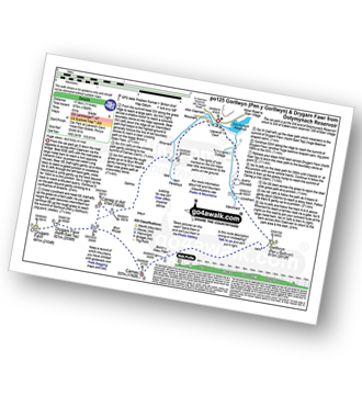
Route outline for walk po125:
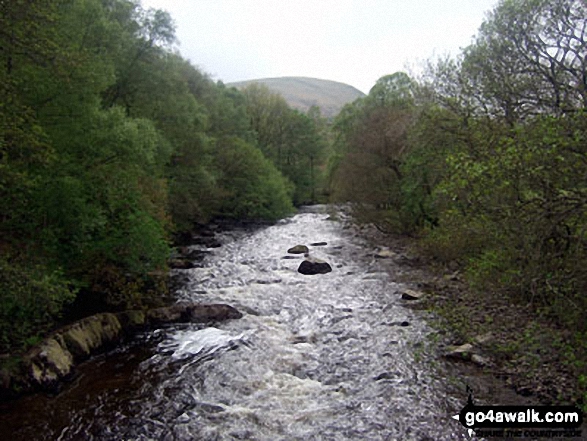
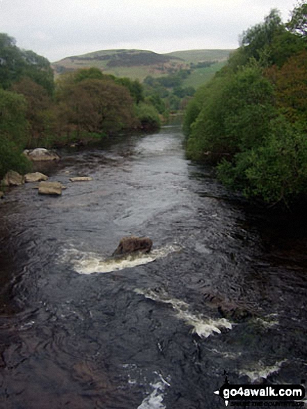
Dolymynach Reservoir - Afon Claerwen - Llanerch Cawr - Llywdnant - Marchnant - Gorllwyn (Pen y Gorllwyn) - Bwlch Ddau Faen - Carnau - Bryn Rhudd - Drygarn Fawr (North East Top) - Drygarn Fawr - Carreg Yr Ast - Nant Paradwys - Rhiwnant - Dolymynach Reservoir
Peaks, Summits and Tops reached on this walk:
 2 Welsh Mountains |
 0 Wainwrights |
 2 Welsh Nuttalls |
 0 Welsh Deweys |
 0 Wainwright Outlying Fells |
 1 Welsh Marilyn |
 1 Bridget |
Peak Bagging Statistics for this walk:
The highest point of this walk is Drygarn Fawr at 645m (2116ft). Drygarn Fawr is classified as a Welsh Mountain (Hewitt) (106th highest in Wales, 256th highest in England & Wales)
Drygarn Fawr is also known as a Welsh Nuttall (145th highest in Wales, 341st highest in England & Wales) and a Welsh Marilyn (47th highest in Wales, 702nd highest in the UK).
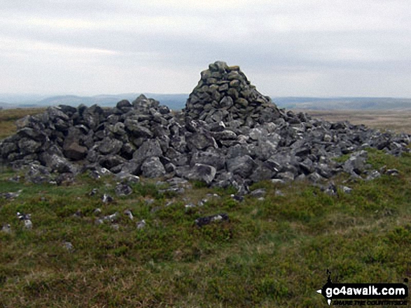
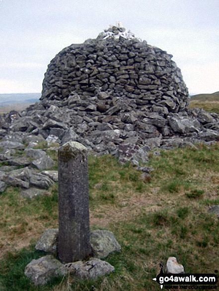
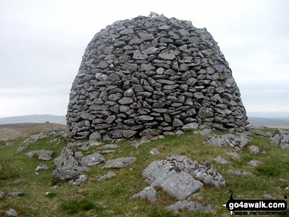
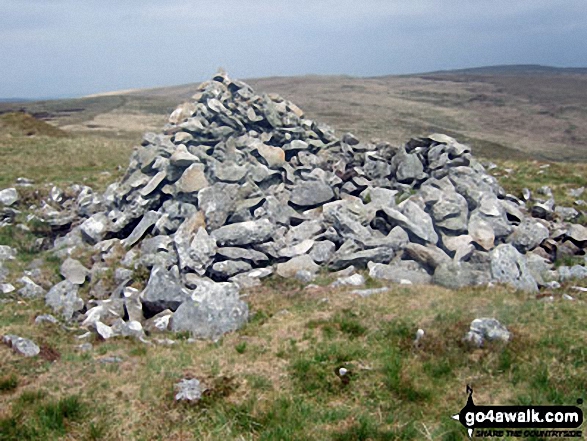
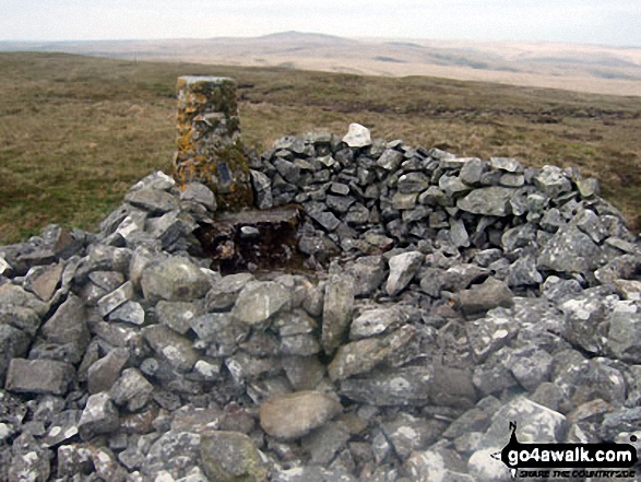
The summit of Drygarn Fawr is marked by a huge beehive shaped cairn 100m NE of an Ordnance Survey Trig Point.
Completing this walk will also take you to the top of Gorllwyn (Pen y Gorllwyn) at 613m (2012ft). Gorllwyn (Pen y Gorllwyn) is classified as a Welsh Mountain (Hewitt) (131st highest in Wales, 308th highest in England & Wales)
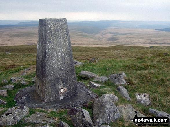
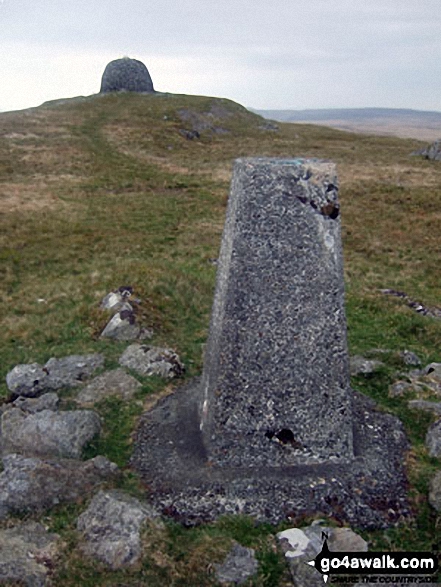
Gorllwyn (Pen y Gorllwyn) is also known as a Welsh Nuttall (181st highest in Wales, 426th highest in England & Wales). The summit of Gorllwyn (Pen y Gorllwyn) is marked by an Ordnance Survey Trig Point.
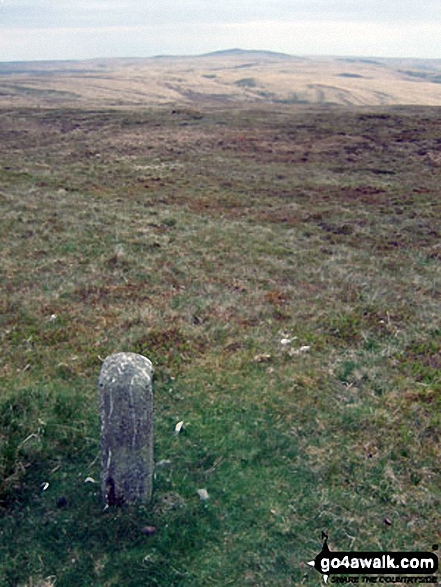
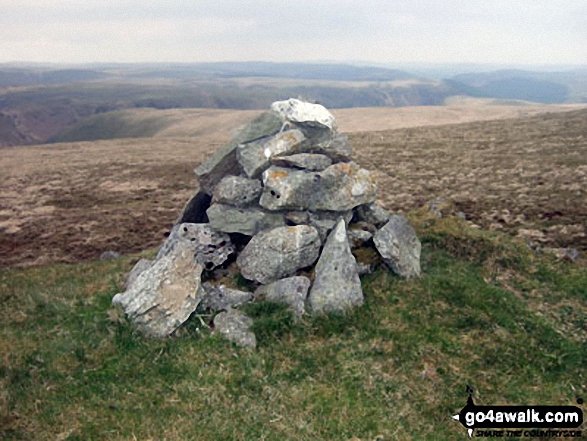
You will also reach the summit of Carreg yr Ast at 579m (1900ft). Carreg yr Ast is known as a Welsh Bridget. The summit of Carreg yr Ast is marked by a cairn.
Free-to-access Interactive Walk Planning Maps:
1:25,000 scale OS Explorer Map (orange/yellow covers):
An Interactive Walk Planning Map for OS Explorer 200 Llandrindod Wells & Elan Valley is not currently available
1:50,000 scale OS Landranger Map (pink/magenta covers):
An Interactive Walk Planning Map for OS Landranger 147 Elan Valley & Builth Wells is not currently available
Some Photos and Pictures from Walk po125 Gorllwyn (Pen y Gorllwyn) and Drygarn Fawr from Dolymynach Reservoir
In no particular order . . .
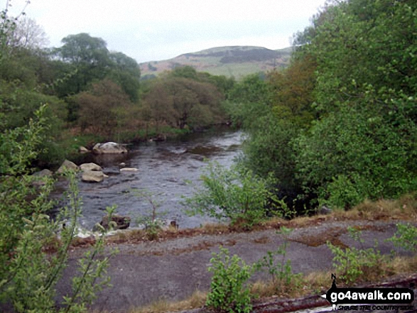
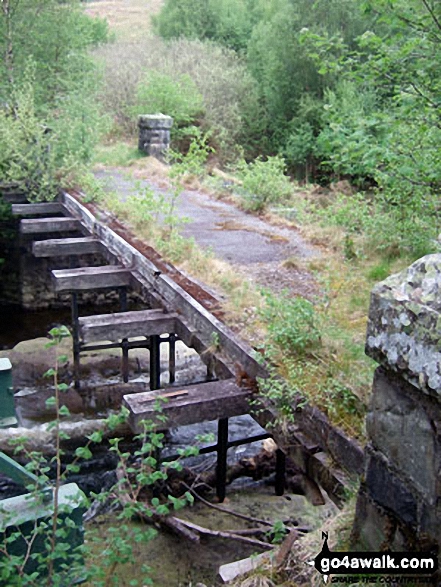
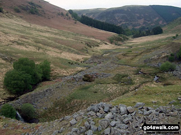
The old bridge over Afon Claerwen at the South East end of Dolymynach Reservoir
Send us your photographs and pictures from your walks and hikes
We would love to see your photographs and pictures from walk po125 Gorllwyn (Pen y Gorllwyn) and Drygarn Fawr from Dolymynach Reservoir. Send them in to us as email attachments (configured for any computer) along with your name and where the picture was taken to:
and we shall do our best to publish them.
(Guide Resolution = 300dpi. At least = 660 pixels (wide) x 440 pixels (high).)

You can also submit photos from walk po125 Gorllwyn (Pen y Gorllwyn) and Drygarn Fawr from Dolymynach Reservoir via our Facebook Page.
NB. Please indicate where each photo was taken.


