Wales - a fully detailed list of all the Mountains, Peaks, Tops and Hills (Page of 7)
Wales is defined as the whole of the principality of Wales which includes the National Parks of Snowdonia,
Bannau Brycheiniog (The Brecon Beacons) and The Pembrokeshire Coast as well as Mynyddoedd Cambria (The Cambrian Mountains), Radnor Forest, Anglesey, The Llynn Peninsula, The Preseli Mountains and The Gower Peninsula.
If you count only the Nuttalls there are 188 tops to climb, bag & conquer and the highest point is Snowdon (Yr Wyddfa) at 1,085m (3,561ft).
To see these Mountains, Peaks, Tops and Hills displayed in different ways - see the options in the left-hand column and towards the bottom of this page.
LOG ON and RELOAD this page to show which Mountains, Peaks, Tops and Hills you have already climbed, bagged & conquered [. . . more details]
Page 1 of 7 Go to page:
1 2 3 4 5 6 7 |
See this list in: Alphabetical Order
| Height Order‡
To reverse the order select the link again.
Mountain, Peak, Top or Hill:
Bagged
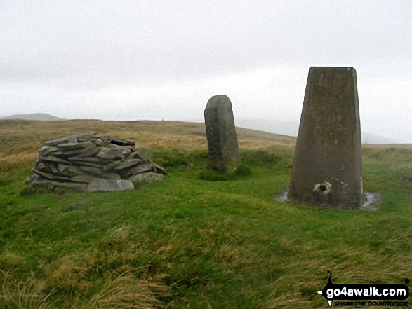
1. Mynydd Graig Goch
610m (2,000ft)
Mountain (136th in Wales, 318th in England & Wales)
Nuttall (188th in Wales, 442nd in England & Wales)
To walk, climb & bag Mynydd Graig Goch use any of these easy-to-follow walks:
See the location of Mynydd Graig Goch and walks up it on a google MapMynydd Graig Goch is on interactive maps:
OS Explorer (Orange Covers): OL17
OS Landranger (Pink Covers): 115 and
123
Mynydd Graig Goch is on downloadable PDF you can Print or Save to your Phone:
|
2. Bache Hill
610m (2,002ft)
Mountain (133rd in Wales, 311th in England & Wales)
Nuttall (185th in Wales, 434th in England & Wales)
OS Trig Point
To walk, climb & bag Bache Hill use this easy-to-follow walk:
See the location of Bache Hill and walks up it on a google MapBache Hill is on interactive maps:
OS Explorer (Orange Covers): 201
OS Landranger (Pink Covers): 148
A downloadable go4awalk.com PDF Peak Bagging Map featuring Bache Hill will be available soon. |
3. Pen y Garn (Bryn Garw)
611m (2,002ft)
Mountain (134th in Wales, 314th in England & Wales)
Nuttall (186th in Wales, 436th in England & Wales)
Marilyn (53rd in Wales, 750th in GB)
OS Trig Point
To walk, climb & bag Pen y Garn (Bryn Garw) use this easy-to-follow walk:
See the location of Pen y Garn (Bryn Garw) and walks up it on a google MapPen y Garn (Bryn Garw) is on interactive maps:
OS Explorer (Orange Covers): 213
OS Landranger (Pink Covers): 135
A downloadable go4awalk.com PDF Peak Bagging Map featuring Pen y Garn (Bryn Garw) will be available soon. |
4. Tal y Fan
610m (2,002ft)
Mountain (135th in Wales, 315th in England & Wales)
Nuttall (187th in Wales, 437th in England & Wales)
Marilyn (54th in Wales, 751st in GB)
OS Trig Point
To walk, climb & bag Tal y Fan use any of these easy-to-follow walks:
See the location of Tal y Fan and walks up it on a google MapTal y Fan is on interactive maps:
OS Explorer (Orange Covers): OL17
OS Landranger (Pink Covers): 115
Tal y Fan is on downloadable PDF you can Print or Save to your Phone:
|
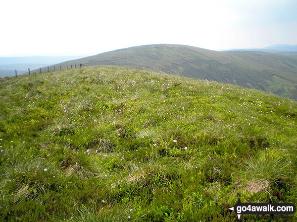
5. Foel Goch (Arenigs)
611m (2,005ft)
Mountain (132nd in Wales, 310th in England & Wales)
Nuttall (184th in Wales, 433rd in England & Wales)
Marilyn (52nd in Wales, 748th in GB)
OS Trig Point
We hope to have walks that climb & bag Foel Goch (Arenigs) very soon
See the location of Foel Goch (Arenigs) and walks up it on a google MapFoel Goch (Arenigs) is on interactive maps:
OS Explorer (Orange Covers): OL18
OS Landranger (Pink Covers): 124 and
125
Foel Goch (Arenigs) is on downloadable PDF you can Print or Save to your Phone:
|
6. Trum y Gwrgedd
612m (2,009ft)
Nuttall (183rd in Wales, 429th in England & Wales)
To walk, climb & bag Trum y Gwrgedd use either of these easy-to-follow walks:
See the location of Trum y Gwrgedd and walks up it on a google MapTrum y Gwrgedd is on interactive maps:
OS Explorer (Orange Covers): OL23
OS Landranger (Pink Covers): 125
Trum y Gwrgedd is on downloadable PDF you can Print or Save to your Phone:
|
7. Foel Goch (Berwyns)
612m (2,010ft)
Mountain (130th in Wales, 307th in England & Wales)
Nuttall (182nd in Wales, 427th in England & Wales)
To walk, climb & bag Foel Goch (Berwyns) use either of these easy-to-follow walks:
See the location of Foel Goch (Berwyns) and walks up it on a google MapFoel Goch (Berwyns) is on interactive maps:
OS Explorer (Orange Covers): OL23
OS Landranger (Pink Covers): 125
Foel Goch (Berwyns) is on downloadable PDF you can Print or Save to your Phone:
|
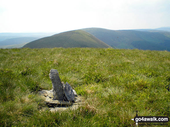
8. Gorllwyn (Pen y Gorllwyn)
613m (2,012ft)
Mountain (131st in Wales, 308th in England & Wales)
Nuttall (181st in Wales, 426th in England & Wales)
OS Trig Point
To walk, climb & bag Gorllwyn (Pen y Gorllwyn) use this easy-to-follow walk:
See the location of Gorllwyn (Pen y Gorllwyn) and walks up it on a google MapGorllwyn (Pen y Gorllwyn) is on interactive maps:
OS Explorer (Orange Covers): 200
OS Landranger (Pink Covers): 147
A downloadable go4awalk.com PDF Peak Bagging Map featuring Gorllwyn (Pen y Gorllwyn) will be available soon. |
9. Cefn Gwyntog
614m (2,015ft)
Nuttall (179th in Wales, 422nd in England & Wales)
To walk, climb & bag Cefn Gwyntog use either of these easy-to-follow walks:
See the location of Cefn Gwyntog and walks up it on a google MapCefn Gwyntog is on interactive maps:
OS Explorer (Orange Covers): OL23 and
239
OS Landranger (Pink Covers): 125
Cefn Gwyntog is on downloadable PDF you can Print or Save to your Phone:
|
10. Llechwedd Du (Arans)
614m (2,015ft)
Mountain (129th in Wales, 305th in England & Wales)
Nuttall (180th in Wales, 424th in England & Wales)
To walk, climb & bag Llechwedd Du (Arans) use this easy-to-follow walk:
See the location of Llechwedd Du (Arans) and walks up it on a google MapLlechwedd Du (Arans) is on interactive maps:
OS Explorer (Orange Covers): OL23
OS Landranger (Pink Covers): 124
Llechwedd Du (Arans) is on downloadable PDF you can Print or Save to your Phone:
|
11. Foel Penolau
614m (2,016ft)
Mountain (128th in Wales, 304th in England & Wales)
Nuttall (178th in Wales, 421st in England & Wales)
Foel Penolau was upgraded to a Welsh Mountain (Hewiit) in December, 2018
To walk, climb & bag Foel Penolau use this easy-to-follow walk:
See the location of Foel Penolau and walks up it on a google MapFoel Penolau is on interactive maps:
OS Explorer (Orange Covers): OL18
OS Landranger (Pink Covers): 124
Foel Penolau is on downloadable PDF you can Print or Save to your Phone:
|
12. Foel Boeth (Arenigs)
615m (2,019ft)
Nuttall (177th in Wales, 419th in England & Wales)
To walk, climb & bag Foel Boeth (Arenigs) use either of these easy-to-follow walks:
See the location of Foel Boeth (Arenigs) and walks up it on a google MapFoel Boeth (Arenigs) is on interactive maps:
OS Explorer (Orange Covers): OL18 and
OL23
OS Landranger (Pink Covers): 124
Foel Boeth (Arenigs) is on downloadable PDF you can Print or Save to your Phone:
|
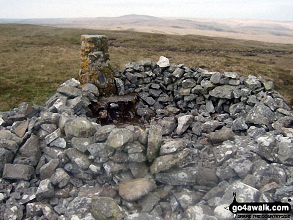
13. Moel Gornach (Garreg Lwyd)
616m (2,021ft)
Mountain (127th in Wales, 301st in England & Wales)
Nuttall (176th in Wales, 418th in England & Wales)
OS Trig Point
To walk, climb & bag Moel Gornach (Garreg Lwyd) use this easy-to-follow walk:
See the location of Moel Gornach (Garreg Lwyd) and walks up it on a google MapMoel Gornach (Garreg Lwyd) is on interactive maps:
OS Explorer (Orange Covers): OL12
OS Landranger (Pink Covers): 160
Moel Gornach (Garreg Lwyd) is on downloadable PDF you can Print or Save to your Phone:
|
14. Cefn yr Ystrad
617m (2,025ft)
Mountain (126th in Wales, 297th in England & Wales)
Nuttall (175th in Wales, 413th in England & Wales)
Marilyn (51st in Wales, 738th in GB)
OS Trig Point
To walk, climb & bag Cefn yr Ystrad use this easy-to-follow walk:
See the location of Cefn yr Ystrad and walks up it on a google MapCefn yr Ystrad is on interactive maps:
OS Explorer (Orange Covers): OL12
OS Landranger (Pink Covers): 160
Cefn yr Ystrad is on downloadable PDF you can Print or Save to your Phone:
|
15. Gallt y Daren
619m (2,032ft)
Mountain (125th in Wales, 295th in England & Wales)
Nuttall (172nd in Wales, 407th in England & Wales)
To walk, climb & bag Gallt y Daren use either of these easy-to-follow walks:
See the location of Gallt y Daren and walks up it on a google MapGallt y Daren is on interactive maps:
OS Explorer (Orange Covers): OL18 and
OL23
OS Landranger (Pink Covers): 124
Gallt y Daren is on downloadable PDF you can Print or Save to your Phone:
|
16. Gallt y Wenallt
619m (2,032ft)
Nuttall (173rd in Wales, 408th in England & Wales)
To walk, climb & bag Gallt y Wenallt use this easy-to-follow walk:
See the location of Gallt y Wenallt and walks up it on a google MapGallt y Wenallt is on interactive maps:
OS Explorer (Orange Covers): OL17
OS Landranger (Pink Covers): 115
Gallt y Wenallt is on downloadable PDF you can Print or Save to your Phone:
|
17. Y Gyrn
619m (2,032ft)
Nuttall (174th in Wales, 409th in England & Wales)
To walk, climb & bag Y Gyrn use either of these easy-to-follow walks:
See the location of Y Gyrn and walks up it on a google MapY Gyrn is on interactive maps:
OS Explorer (Orange Covers): OL12
OS Landranger (Pink Covers): 160
Y Gyrn is on downloadable PDF you can Print or Save to your Phone:
|
18. Pen Bwlch Llandrillo Top
621m (2,038ft)
Mountain (123rd in Wales, 291st in England & Wales)
Nuttall (171st in Wales, 401st in England & Wales)
To walk, climb & bag Pen Bwlch Llandrillo Top use any of these easy-to-follow walks:
See the location of Pen Bwlch Llandrillo Top and walks up it on a google MapPen Bwlch Llandrillo Top is on interactive maps:
OS Explorer (Orange Covers): 255
OS Landranger (Pink Covers): 125
Pen Bwlch Llandrillo Top is on downloadable PDF you can Print or Save to your Phone:
|
19. Waun Camddwr
621m (2,040ft)
Nuttall (170th in Wales, 399th in England & Wales)
To walk, climb & bag Waun Camddwr use this easy-to-follow walk:
See the location of Waun Camddwr and walks up it on a google MapWaun Camddwr is on interactive maps:
OS Explorer (Orange Covers): OL23
OS Landranger (Pink Covers): 125
Waun Camddwr is on downloadable PDF you can Print or Save to your Phone:
|
20. Craig-y-llyn
622m (2,041ft)
Mountain (122nd in Wales, 288th in England & Wales)
Nuttall (169th in Wales, 396th in England & Wales)
To walk, climb & bag Craig-y-llyn use either of these easy-to-follow walks:
See the location of Craig-y-llyn and walks up it on a google MapCraig-y-llyn is on interactive maps:
OS Explorer (Orange Covers): OL23
OS Landranger (Pink Covers): 124
Craig-y-llyn is on downloadable PDF you can Print or Save to your Phone:
|
21. Craiglwyn
623m (2,044ft)
Nuttall (167th in Wales, 394th in England & Wales)
To walk, climb & bag Craiglwyn use any of these easy-to-follow walks:
See the location of Craiglwyn and walks up it on a google MapCraiglwyn is on interactive maps:
OS Explorer (Orange Covers): OL17
OS Landranger (Pink Covers): 115
Craiglwyn is on downloadable PDF you can Print or Save to your Phone:
|
22. Moel Ysgyfarnogod
623m (2,044ft)
Mountain (121st in Wales, 287th in England & Wales)
Nuttall (168th in Wales, 395th in England & Wales)
Marilyn (50th in Wales, 722nd in GB)
OS Trig Point
To walk, climb & bag Moel Ysgyfarnogod use this easy-to-follow walk:
See the location of Moel Ysgyfarnogod and walks up it on a google MapMoel Ysgyfarnogod is on interactive maps:
OS Explorer (Orange Covers): OL18
OS Landranger (Pink Covers): 124
Moel Ysgyfarnogod is on downloadable PDF you can Print or Save to your Phone:
|
23. Pen y Castell
623m (2,045ft)
Nuttall (166th in Wales, 392nd in England & Wales)
To walk, climb & bag Pen y Castell use any of these easy-to-follow walks:
See the location of Pen y Castell and walks up it on a google MapPen y Castell is on interactive maps:
OS Explorer (Orange Covers): OL17
OS Landranger (Pink Covers): 115
Pen y Castell is on downloadable PDF you can Print or Save to your Phone:
|
24. Moel y Cerrig Duon
625m (2,051ft)
Mountain (120th in Wales, 284th in England & Wales)
Nuttall (165th in Wales, 386th in England & Wales)
To walk, climb & bag Moel y Cerrig Duon use this easy-to-follow walk:
See the location of Moel y Cerrig Duon and walks up it on a google MapMoel y Cerrig Duon is on interactive maps:
OS Explorer (Orange Covers): OL23
OS Landranger (Pink Covers): 125
Moel y Cerrig Duon is on downloadable PDF you can Print or Save to your Phone:
|
25. Foel y Geifr (Berwyns)
626m (2,055ft)
Mountain (119th in Wales, 283rd in England & Wales)
Nuttall (164th in Wales, 385th in England & Wales)
OS Trig Point
To walk, climb & bag Foel y Geifr (Berwyns) use either of these easy-to-follow walks:
See the location of Foel y Geifr (Berwyns) and walks up it on a google MapFoel y Geifr (Berwyns) is on interactive maps:
OS Explorer (Orange Covers): OL23
OS Landranger (Pink Covers): 125
Foel y Geifr (Berwyns) is on downloadable PDF you can Print or Save to your Phone:
|
26. Moel Penamnen
628m (2,061ft)
Mountain (118th in Wales, 280th in England & Wales)
Nuttall (163rd in Wales, 380th in England & Wales)
OS Trig Point
To walk, climb & bag Moel Penamnen use this easy-to-follow walk:
See the location of Moel Penamnen and walks up it on a google MapMoel Penamnen is on interactive maps:
OS Explorer (Orange Covers): OL17
OS Landranger (Pink Covers): 115
Moel Penamnen is on downloadable PDF you can Print or Save to your Phone:
|
27. Fan Frynych
628m (2,062ft)
Mountain (115th in Wales, 276th in England & Wales)
Nuttall (162nd in Wales, 377th in England & Wales)
OS Trig Point
To walk, climb & bag Fan Frynych use any of these easy-to-follow walks:
See the location of Fan Frynych and walks up it on a google MapFan Frynych is on interactive maps:
OS Explorer (Orange Covers): OL12
OS Landranger (Pink Covers): 160
Fan Frynych is on downloadable PDF you can Print or Save to your Phone:
|
28. Craig Cerrig-gleisiad
629m (2,064ft)
Mountain (114th in Wales, 275th in England & Wales)
Nuttall (159th in Wales, 374th in England & Wales)
To walk, climb & bag Craig Cerrig-gleisiad use any of these easy-to-follow walks:
See the location of Craig Cerrig-gleisiad and walks up it on a google MapCraig Cerrig-gleisiad is on interactive maps:
OS Explorer (Orange Covers): OL12
OS Landranger (Pink Covers): 160
Craig Cerrig-gleisiad is on downloadable PDF you can Print or Save to your Phone:
|
29. Foel Gron
629m (2,064ft)
Mountain (116th in Wales, 277th in England & Wales)
Nuttall (160th in Wales, 375th in England & Wales)
To walk, climb & bag Foel Gron use either of these easy-to-follow walks:
See the location of Foel Gron and walks up it on a google MapFoel Gron is on interactive maps:
OS Explorer (Orange Covers): OL17
OS Landranger (Pink Covers): 115
Foel Gron is on downloadable PDF you can Print or Save to your Phone:
|
30. Y Garn (Rhinogs)
629m (2,064ft)
Mountain (117th in Wales, 278th in England & Wales)
Nuttall (161st in Wales, 376th in England & Wales)
Marilyn (49th in Wales, 717th in GB)
To walk, climb & bag Y Garn (Rhinogs) use this easy-to-follow walk:
See the location of Y Garn (Rhinogs) and walks up it on a google MapY Garn (Rhinogs) is on interactive maps:
OS Explorer (Orange Covers): OL18
OS Landranger (Pink Covers): 124
Y Garn (Rhinogs) is on downloadable PDF you can Print or Save to your Phone:
|
Page 1 of 7 Go to page:
1 2 3 4 5 6 7 |
View these 188 Mountains, Peaks, Tops and Hills:
Is there a Mountain, Peak, Top or Hill missing from the above google map or list?
Let us know an we will add it to our database.

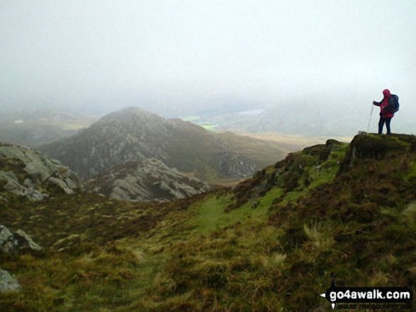
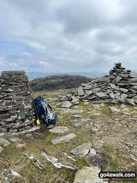
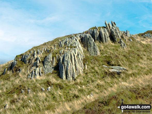
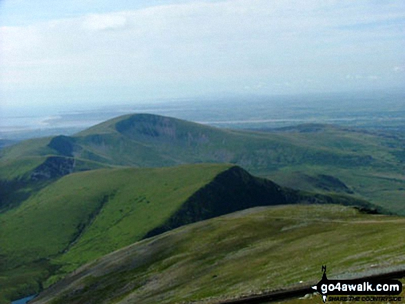
 Snowdon (Yr Wyddfa) in The RhinogsWales


