   |
Vital Statistics:
| Length: | 9mls (14.5km) |
| Ascent: | 1,963ft (598m) |
| Time: | 5¼hrs |
| Grade: |  |
Route outline for walk po103:
New Radnor - Whinyard Rocks - Bache Hill - Head of Ystol Bach Brook - Black Mixen - Shepherd's Well - Cross Dyke - Great Rhos - Davy Morgan's Dingle - Harley Dingle - Lower Harley - Harley Dingle Brook - Harley Gorse - New Radnor
Peaks, Summits and Tops reached on this walk:
 3 Welsh Mountains |
 0 Wainwrights |
 3 Welsh Nuttalls |
 0 Welsh Deweys |
 0 Wainwright Outlying Fells |
 1 Welsh Marilyn |
 0 Bridgets |
Peak Bagging Statistics for this walk:
The highest point of this walk is Great Rhos at 660m (2166ft). Great Rhos is classified as a Welsh Mountain (Hewitt) (98th highest in Wales, 233rd highest in England & Wales)
Great Rhos is also known as a Welsh Nuttall (129th highest in Wales, 309th highest in England & Wales) and a Welsh Marilyn (46th highest in Wales, 675th highest in the UK).
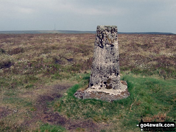
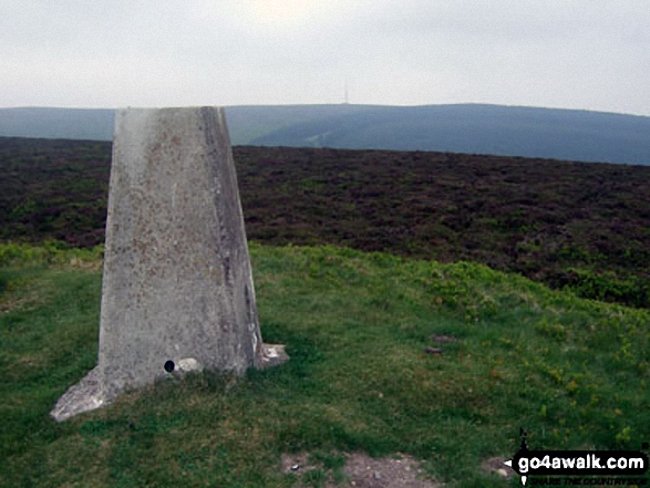
The summit of Great Rhos is marked by an Ordnance Survey Trig Point.
Completing this walk will also take you to the top of Black Mixen at 650m (2133ft). Black Mixen is classified as a Welsh Mountain (Hewitt) (103rd highest in Wales, 248th highest in England & Wales)
Black Mixen is also known as a Welsh Nuttall (140th highest in Wales, 332nd highest in England & Wales). The summit of Black Mixen is marked by an Ordnance Survey Trig Point.
You will also reach the summit of Bache Hill at 610m (2002ft). Bache Hill is classified as a Welsh Mountain (Hewitt) (133rd highest in Wales, 311th highest in England & Wales)
Bache Hill is also known as a Welsh Nuttall (185th highest in Wales, 434th highest in England & Wales). The summit of Bache Hill is marked by an Ordnance Survey Trig Point.
Free-to-access Interactive Walk Planning Maps:
1:25,000 scale OS Explorer Maps (orange/yellow covers):
An Interactive Walk Planning Map for OS Explorer 200 Llandrindod Wells & Elan Valley is not currently available
An Interactive Walk Planning Map for OS Explorer 201 Knighton Presteigne is not currently available
1:50,000 scale OS Landranger Map (pink/magenta covers):
An Interactive Walk Planning Map for OS Landranger 148 Presteigne & Hay-on-Wye, Llanandras a’r Gelli Gandryll is not currently available
Some Photos and Pictures from Walk po103 Bache Hill, Black Mixen and Great Rhos from New Radnor
In no particular order . . .
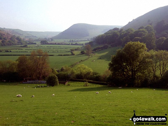
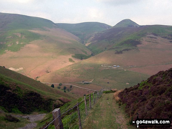
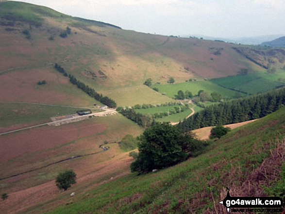
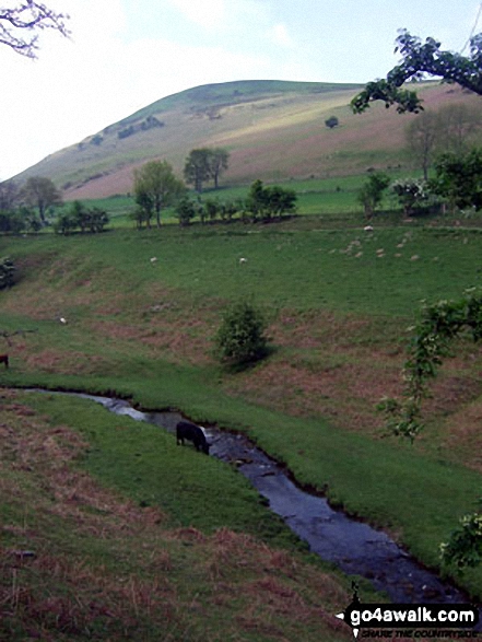
Black Mixen (left), Bache Hill (centre) and Whimble (centre right) from the track below Three Riggles and above the Harley Dingle/New Radnor Firing Range, Radnor Forest
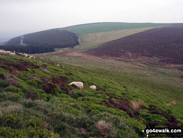
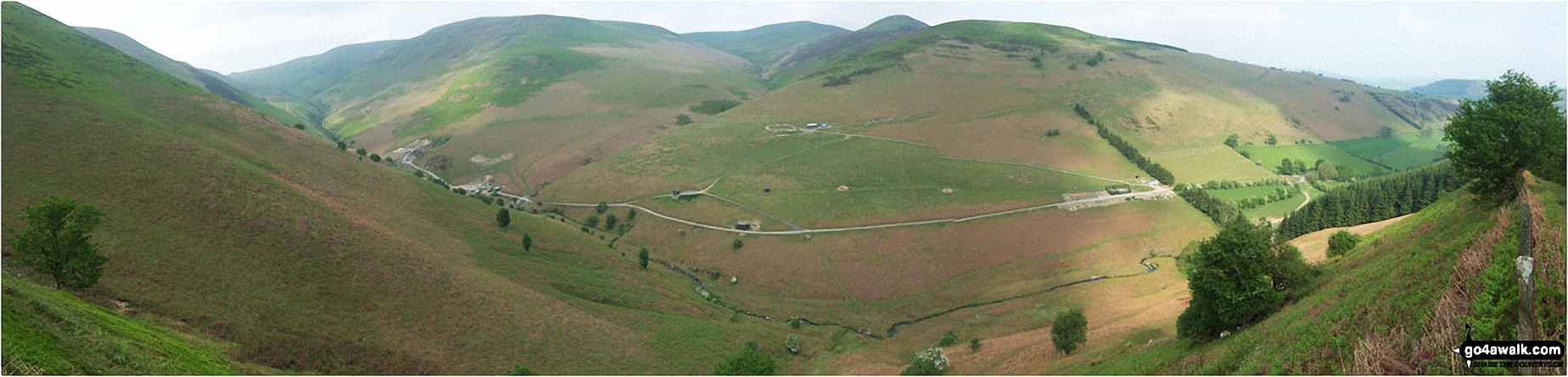
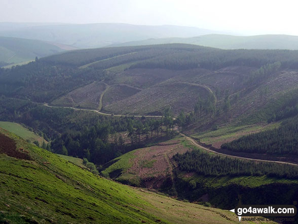
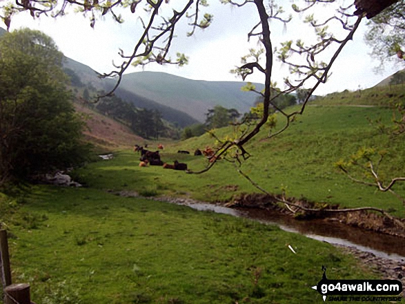
Panorama of Harley Dingle/New Radnor Firing Range with Black Mixen, Bache Hill and Whimble opposite, Radnor Forest
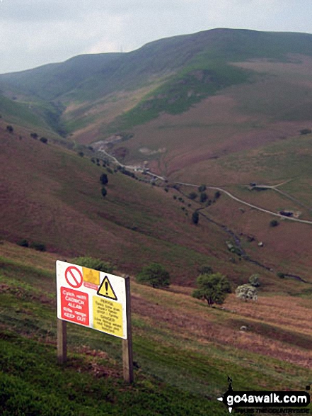
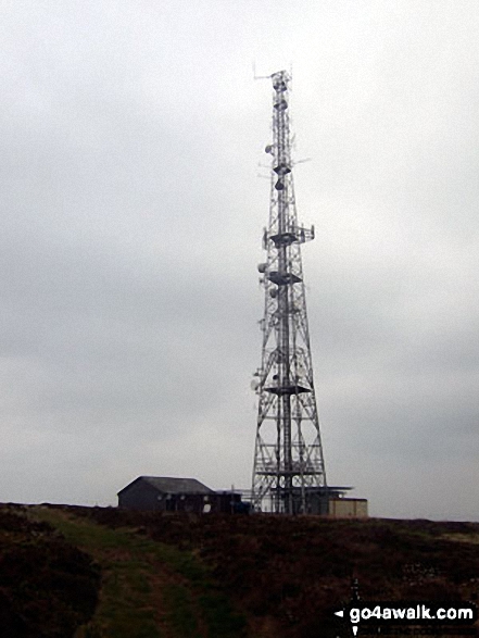
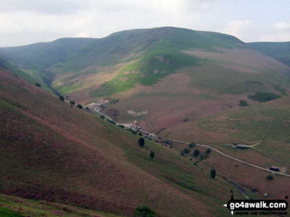
Black Mixen above the Harley Dingle/New Radnor Firing Range complete with warning sign, Radnor Forest
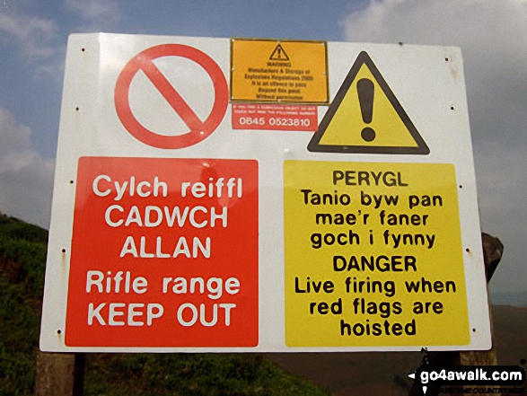
New Radnor/Harley Dingle Firing Range Warning sign at the bottom of the Three Riggles below Great Rhos, Radnor Forest
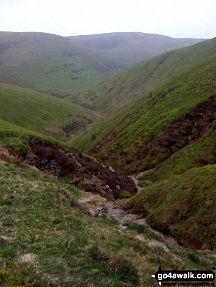
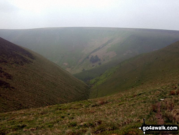
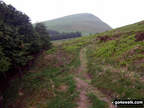
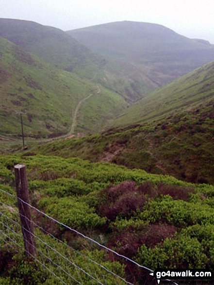
Great Rhos above Harley Dingle from the head of Ystol Bach Brook, Radnor Forest
. . . load all 30 walk photos from Walk po103 Bache Hill, Black Mixen and Great Rhos from New Radnor
Send us your photographs and pictures from your walks and hikes
We would love to see your photographs and pictures from walk po103 Bache Hill, Black Mixen and Great Rhos from New Radnor. Send them in to us as email attachments (configured for any computer) along with your name and where the picture was taken to:
and we shall do our best to publish them.
(Guide Resolution = 300dpi. At least = 660 pixels (wide) x 440 pixels (high).)

You can also submit photos from walk po103 Bache Hill, Black Mixen and Great Rhos from New Radnor via our Facebook Page.
NB. Please indicate where each photo was taken.


