Snowdonia National Park - a fully detailed list of all the Mountains, Peaks, Tops and Hills (Page 2 of 4)
Snowdonia National Park in Clwyd, Conwy, Gwynedd and Powys is the area of Wales within the Snowdonia National Park boundary including the non-National Park 'island' around Blaenau Ffestiniog.
If you include the Marilyns, the Bridgets (Hills) and all the Mountains, Tops, Peaks and Hills with a Trig Point on them there are 91 tops to climb, bag & conquer and the highest point is Snowdon (Yr Wyddfa) at 1,085m (3,561ft).
To see these Mountains, Peaks, Tops and Hills displayed in different ways - see the options in the left-hand column and towards the bottom of this page.
![]() Your Personal Bagging Record for Snowdonia National Park
Your Personal Bagging Record for Snowdonia National Park
LOG ON and RELOAD this page to show which Mountains, Peaks, Tops and Hills you have already climbed, bagged & conquered [. . . more details]
See this list in: Alphabetical Order
| Height Order‡
To reverse the order select the link again.
Mountain, Peak, Top or Hill:
Bagged

![]()
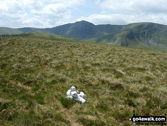
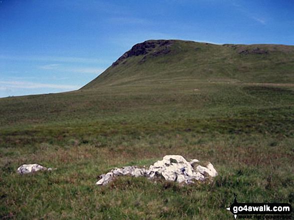
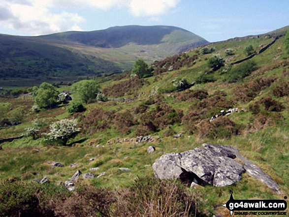
31. Arenig Fach
689m (2,261ft)
Arenig Fach is on interactive maps:
Arenig Fach is on downloadable PDF you can Print or Save to your Phone: |

![]()
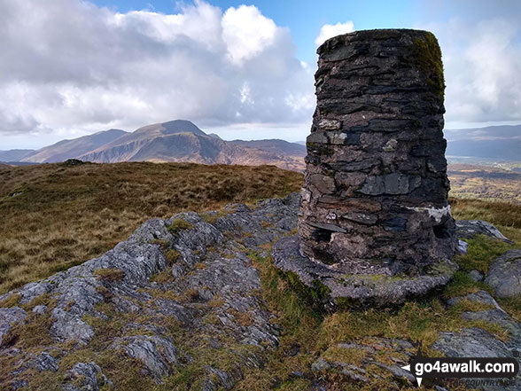
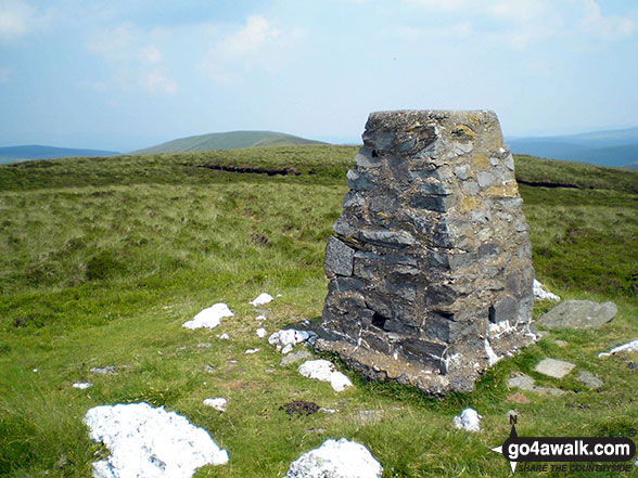
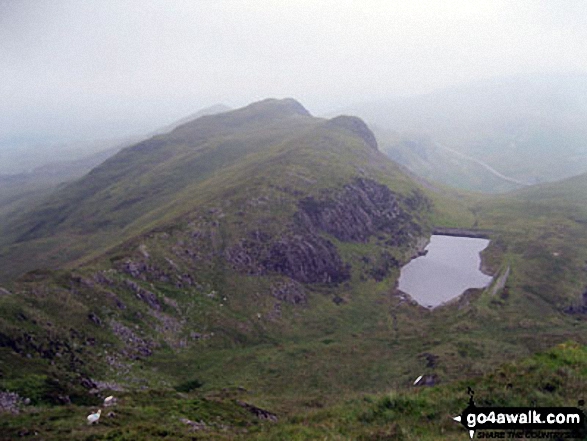
32. Carnedd y Ddelw
688m (2,258ft)
Carnedd y Ddelw is on interactive maps:
Carnedd y Ddelw is on downloadable PDF you can Print or Save to your Phone: |

![]()
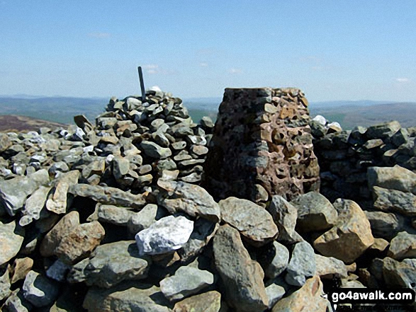
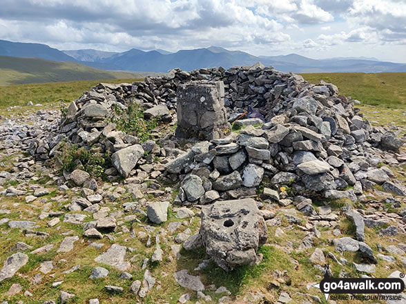
33. Maesglase (Craig Rhiw-erch)
678m (2,226ft)
Maesglase (Craig Rhiw-erch) is on interactive maps:
Maesglase (Craig Rhiw-erch) is on downloadable PDF you can Print or Save to your Phone: |
![]()
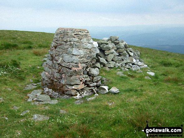
34. Creigiau Gleision
678m (2,225ft)
Creigiau Gleision is on interactive maps:
Creigiau Gleision is on downloadable PDF you can Print or Save to your Phone: |
![]()
35. Moel Cynghorion
674m (2,212ft)
Moel Cynghorion is on interactive maps:
Moel Cynghorion is on downloadable PDF you can Print or Save to your Phone: |
![]()
36. Esgeiriau Gwynion
671m (2,202ft)
Esgeiriau Gwynion is on interactive maps:
Esgeiriau Gwynion is on downloadable PDF you can Print or Save to your Phone: |

![]()
37. Waun-oer
670m (2,198ft)
Waun-oer is on interactive maps:
Waun-oer is on downloadable PDF you can Print or Save to your Phone: |
![]()
38. Carnedd y Filiast (Arenigs)
669m (2,195ft)
Carnedd y Filiast (Arenigs) is on interactive maps:
Carnedd y Filiast (Arenigs) is on downloadable PDF you can Print or Save to your Phone: |
![]()
39. Tarren y Gesail
667m (2,189ft)
Tarren y Gesail is on interactive maps:
Tarren y Gesail is on downloadable PDF you can Print or Save to your Phone: |
![]()
40. Manod Mawr
661m (2,169ft)
Manod Mawr is on interactive maps:
Manod Mawr is on downloadable PDF you can Print or Save to your Phone: |
![]()
41. Foel Cwm-Sian Llwyd
648m (2,127ft)
Foel Cwm-Sian Llwyd is on interactive maps:
Foel Cwm-Sian Llwyd is on downloadable PDF you can Print or Save to your Phone: |
![]()
42. Tarrenhendre
634m (2,081ft)
Tarrenhendre is on interactive maps:
Tarrenhendre is on downloadable PDF you can Print or Save to your Phone: |
![]()
43. Y Garn (Rhinogs)
629m (2,064ft)
Y Garn (Rhinogs) is on interactive maps:
Y Garn (Rhinogs) is on downloadable PDF you can Print or Save to your Phone: |
![]()
44. Moel Penamnen
628m (2,061ft)
Moel Penamnen is on interactive maps:
Moel Penamnen is on downloadable PDF you can Print or Save to your Phone: |
![]()
45. Foel y Geifr (Berwyns)
626m (2,055ft)
Foel y Geifr (Berwyns) is on interactive maps:
Foel y Geifr (Berwyns) is on downloadable PDF you can Print or Save to your Phone: |
![]()
46. Moel Ysgyfarnogod
623m (2,044ft)
Moel Ysgyfarnogod is on interactive maps:
Moel Ysgyfarnogod is on downloadable PDF you can Print or Save to your Phone: |
![]()
47. Tal y Fan
610m (2,002ft)
Tal y Fan is on interactive maps:
Tal y Fan is on downloadable PDF you can Print or Save to your Phone: |
![]()
48. Moelfre (Rhinogs)
589m (1,933ft)
Moelfre (Rhinogs) is on interactive maps:
Moelfre (Rhinogs) is on downloadable PDF you can Print or Save to your Phone: |
![]()
49. Iwerddon (Allt-fawr)
583m (1,913ft)
Iwerddon (Allt-fawr) is on interactive maps:
Iwerddon (Allt-fawr) is on downloadable PDF you can Print or Save to your Phone: |
![]()
50. Moel Wnion
580m (1,904ft)
Moel Wnion is on interactive maps:
Moel Wnion is on downloadable PDF you can Print or Save to your Phone: |
![]()
51. Moel-ddu (Moel Hebog)
553m (1,814ft)
Moel-ddu (Moel Hebog) is on interactive maps:
Moel-ddu (Moel Hebog) is on downloadable PDF you can Print or Save to your Phone: |
![]()
52. Mynydd Nodol
539m (1,769ft)
Mynydd Nodol is on interactive maps:
Mynydd Nodol is on downloadable PDF you can Print or Save to your Phone: |
![]()
53. Pen y Bedw (West top)
527m (1,729ft)
Send it in and we'll publish it here.
Pen y Bedw (West top) is on interactive maps:
Pen y Bedw (West top) is on downloadable PDF you can Print or Save to your Phone: |
![]()
54. Ffridd Wen (Bryn-pig)
523m (1,716ft)
Send it in and we'll publish it here.
Ffridd Wen (Bryn-pig) is on interactive maps:
Ffridd Wen (Bryn-pig) is on downloadable PDF you can Print or Save to your Phone: |
![]()
55. Cerrig y Ieirch (Moel Llechwedd-gwyn)
513m (1,683ft)
Send it in and we'll publish it here.
Cerrig y Ieirch (Moel Llechwedd-gwyn) is on interactive maps:
Cerrig y Ieirch (Moel Llechwedd-gwyn) is on downloadable PDF you can Print or Save to your Phone: |
![]()
56. Moel Oernant
503m (1,651ft)
Moel Oernant is on interactive maps:
Moel Oernant is on downloadable PDF you can Print or Save to your Phone: |
![]()
57. Foel y Ddinas
489m (1,604ft)
Foel y Ddinas is on interactive maps:
Foel y Ddinas is on downloadable PDF you can Print or Save to your Phone: |
![]()
58. Moel Marchyria
487m (1,598ft)
Moel Marchyria is on interactive maps:
Moel Marchyria is on downloadable PDF you can Print or Save to your Phone: |
![]()
59. Foel Dinas
478m (1,569ft)
Foel Dinas is on interactive maps:
Foel Dinas is on downloadable PDF you can Print or Save to your Phone: |
![]()
60. Crimpiau
475m (1,559ft)
Crimpiau is on interactive maps:
Crimpiau is on downloadable PDF you can Print or Save to your Phone: |
View these 91 Mountains, Peaks, Tops and Hills:
- On Ten Downloadable PDFs you can Print or save to your phone covering:
- The Arans #
- The Arenigs #
- The Berwyns #
- The Cadair Idris Area #
- The Carneddau #
- The Glyderau #
- The Moel Hebog #
- The Moelwyns #
- The Snowdon Area # and
- The Rhinogs #
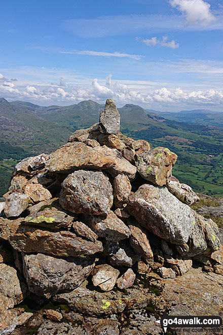
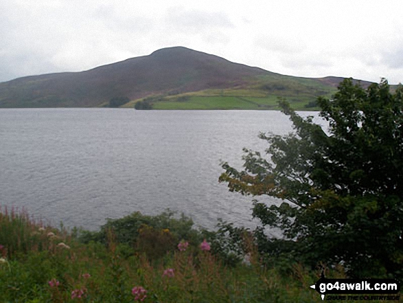
 Snowdon (Yr Wyddfa) in The CarneddauSnowdonia
Photo: Don Williams
- On an Interactive Google Map (loads faster)
- On an Interactive Google Map with a list of tops below it.
(makes it easier to locate a particular top) - On a Detailed List in:
Alphabetical Order | Height Order - On one page with 'yet-to-be-bagged' listed 1st & then 'already-bagged' tops listed 2nd in:
Alphabetical Order | Height Order - On one page with 'already-bagged' tops listed 1st & then 'yet-to-be-bagged' tops listed 2nd in:
Alphabetical Order | Height Order
# Whether you print copies or download them to your phone, these Peak Baggers' Maps will prove incredibly useful if you want to know what's what when you are up in the mountains and cannot get a phone signal.
Is there a Mountain, Peak, Top or Hill missing from the above google map or list?
Let us know an we will add it to our database.

To contribute to go4awalk.com or to contact us about anything at all - see Talk To Us.
For help see Help.
go4awalk.com and go4awalk.co.uk are registered trademarks of TMDH Limited.
Copyright © 2000-2025 TMDH Limited. All rights reserved.
Copyright Terms & Conditions Privacy Statement
A - Z Walks Home Log On/Accounts Photo Gallery Walk Ideas and Collections Fell Facts Hill Skills Walking Questions and Answers Your Stories News Competitions Product Reviews/Gear Tests Walking Gear Guides Peaks and Mountains Peak Bagging Find New Walking Friends Camping GPS Waypoints for Walking Contents Walk Search Talk To Us go4awalk.com Help Free Example Walks Newsletter


