
![]()
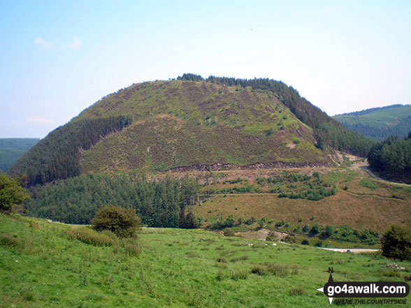
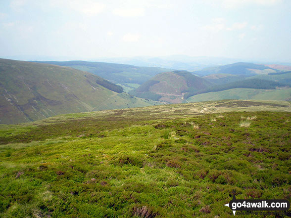
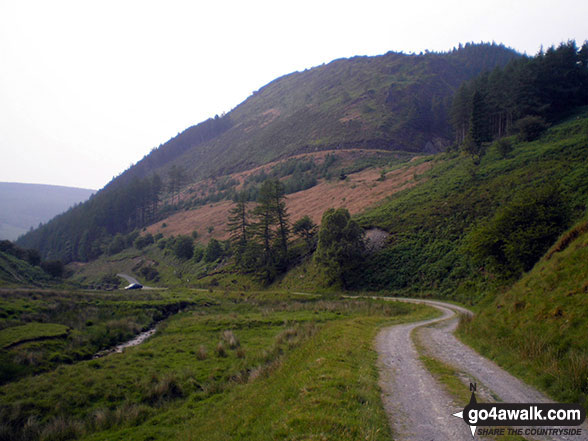
Foel y Ddinas
489m (1604ft)
The Berwyns, Snowdonia, Gwynedd, Wales
Not familiar with this top?
See Foel y Ddinas and the surrounding tops on our free-to-access 'Google Style' Peak Bagging Maps:
The Berwyns of Snowdonia National Park
Less data - quicker to download
The Whole of Snowdonia National Park
More data - might take a little longer to download
See Foel y Ddinas and the surrounding tops on our downloadable Peak Bagging Map in PDF format:

NB: Whether you print off a copy or download it to your phone, this PDF Peak Baggers' Map might prove incredibly useful when your are up there on the tops and you cannot get a phone signal.
You can find Foel y Ddinas & all the walks that climb it on these unique free-to-access Interactive Walk Planning Maps:
1:25,000 scale OS Explorer Map (orange/yellow covers):
1:50,000 scale OS Landranger Map (pink/magenta covers):
 Fellow go4awalkers who have already walked, climbed, summited & bagged Foel y Ddinas
Richard Penney has walked, climbed & bagged Foel y Ddinas.
To add (or remove) your name and experiences on this page - Log On and edit your Personal Mountain Bagging Record
More Photographs & Pictures of views from, on or of Foel y Ddinas
Send us your photographs and pictures on, of, or from Foel y Ddinas
If you would like to add your walk photographs and pictures featuring views from, on or of Foel y Ddinas to this page, please send them as email attachments (configured for any computer) along with your name to:
and we shall do our best to publish them.
(Guide Resolution = 300dpi. At least = 660pixels (wide) x 440 pixels (high).)

You can also submit photos via our Facebook Page.
NB. Please indicate where each photo was taken and whether you wish us to credit your photos with a Username or your First Name/Last Name.
Not familiar with this top?


