All the Mountains, Peaks, Tops and Hills in Wales, Wales as a detailed list (Page 3 of 5)
Wales is defined as the whole of the principality of Wales which includes the National Parks of Snowdonia,
Bannau Brycheiniog (The Brecon Beacons) and The Pembrokeshire Coast as well as Mynyddoedd Cambria (The Cambrian Mountains), Radnor Forest, Anglesey, The Llynn Peninsula, The Preseli Mountains and The Gower Peninsula.
If you count only the Mountains (Hewitts) there are 136 tops to climb, bag & conquer and the highest point is Snowdon (Yr Wyddfa) at 1,085m (3,561ft).
To see these Mountains, Peaks, Tops and Hills displayed in different ways - see the options in the left-hand column and towards the bottom of this page.
LOG ON and RELOAD this page to show which Mountains, Peaks, Tops and Hills you have already climbed, bagged & conquered [. . . more details]
Page 3 of 5 Go to page:
1 2 3 4 5 |
See this list in: Alphabetical Order‡
| Height Order
To reverse the order select the link again.
Mountain, Peak, Top or Hill:
Bagged
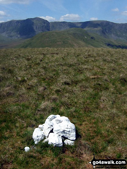
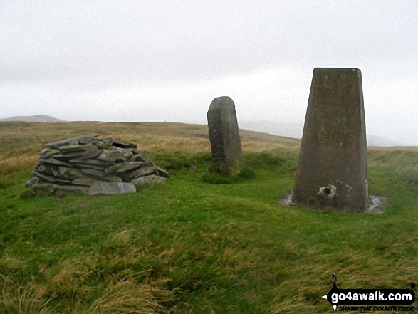
61. Moel Fferna
630m (2,067ft)
Mountain (113th in Wales, 274th in England & Wales)
Nuttall (156th in Wales, 371st in England & Wales)
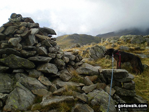
OS Trig Point
To walk, climb & bag Moel Fferna use either of these easy-to-follow walks:
See the location of Moel Fferna and walks up it on a google MapMoel Fferna is on interactive maps:
OS Explorer (Orange Covers): 255
OS Landranger (Pink Covers): 125
Moel Fferna is on downloadable PDF you can Print or Save to your Phone:
|
62. Moel Eilio (Llanberis)
726m (2,383ft)
Mountain (59th in Wales, 142nd in England & Wales)
Nuttall (73rd in Wales, 176th in England & Wales)
Marilyn (28th in Wales, 535th in GB)
To walk, climb & bag Moel Eilio (Llanberis) use either of these easy-to-follow walks:
See the location of Moel Eilio (Llanberis) and walks up it on a google MapMoel Eilio (Llanberis) is on interactive maps:
OS Explorer (Orange Covers): OL17
OS Landranger (Pink Covers): 115
Moel Eilio (Llanberis) is on downloadable PDF you can Print or Save to your Phone:
|
63. Moel Druman
676m (2,219ft)
Mountain (81st in Wales, 198th in England & Wales)
Nuttall (111th in Wales, 266th in England & Wales)
To walk, climb & bag Moel Druman use this easy-to-follow walk:
See the location of Moel Druman and walks up it on a google MapMoel Druman is on interactive maps:
OS Explorer (Orange Covers): OL17
OS Landranger (Pink Covers): 115
Moel Druman is on downloadable PDF you can Print or Save to your Phone:
|
64. Moel Cynghorion
674m (2,212ft)
Mountain (83rd in Wales, 205th in England & Wales)
Nuttall (113th in Wales, 274th in England & Wales)
Marilyn (39th in Wales, 643rd in GB)
To walk, climb & bag Moel Cynghorion use any of these easy-to-follow walks:
See the location of Moel Cynghorion and walks up it on a google MapMoel Cynghorion is on interactive maps:
OS Explorer (Orange Covers): OL17
OS Landranger (Pink Covers): 115
Moel Cynghorion is on downloadable PDF you can Print or Save to your Phone:
|
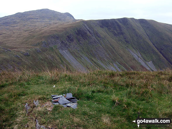
65. Manod Mawr (North Top)
658m (2,160ft)
Mountain (100th in Wales, 237th in England & Wales)
Nuttall (134th in Wales, 316th in England & Wales)
To walk, climb & bag Manod Mawr (North Top) use this easy-to-follow walk:
See the location of Manod Mawr (North Top) and walks up it on a google MapManod Mawr (North Top) is on interactive maps:
OS Explorer (Orange Covers): OL17 and
OL18
OS Landranger (Pink Covers): 115
Manod Mawr (North Top) is on downloadable PDF you can Print or Save to your Phone:
|
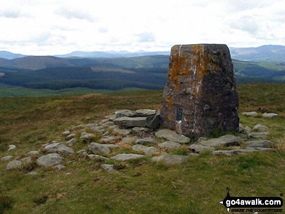
66. Manod Mawr
661m (2,169ft)
Mountain (95th in Wales, 230th in England & Wales)
Nuttall (127th in Wales, 307th in England & Wales)
Marilyn (45th in Wales, 674th in GB)
OS Trig Point
To walk, climb & bag Manod Mawr use this easy-to-follow walk:
See the location of Manod Mawr and walks up it on a google MapManod Mawr is on interactive maps:
OS Explorer (Orange Covers): OL18
OS Landranger (Pink Covers): 124
Manod Mawr is on downloadable PDF you can Print or Save to your Phone:
|
67. Maesglase (Craig Rhiw-erch)
678m (2,226ft)
Mountain (82nd in Wales, 199th in England & Wales)
Nuttall (108th in Wales, 261st in England & Wales)
Marilyn (38th in Wales, 641st in GB)
To walk, climb & bag Maesglase (Craig Rhiw-erch) use this easy-to-follow walk:
See the location of Maesglase (Craig Rhiw-erch) and walks up it on a google MapMaesglase (Craig Rhiw-erch) is on interactive maps:
OS Explorer (Orange Covers): OL23
OS Landranger (Pink Covers): 124 and
125
Maesglase (Craig Rhiw-erch) is on downloadable PDF you can Print or Save to your Phone:
|
68. Llwytmor
849m (2,786ft)
Mountain (25th in Wales, 49th in England & Wales)
Nuttall (28th in Wales, 56th in England & Wales)
To walk, climb & bag Llwytmor use this easy-to-follow walk:
See the location of Llwytmor and walks up it on a google MapLlwytmor is on interactive maps:
OS Explorer (Orange Covers): OL17
OS Landranger (Pink Covers): 115
Llwytmor is on downloadable PDF you can Print or Save to your Phone:
|
69. Llechwedd Du (Arans)
614m (2,015ft)
Mountain (129th in Wales, 305th in England & Wales)
Nuttall (180th in Wales, 424th in England & Wales)
To walk, climb & bag Llechwedd Du (Arans) use this easy-to-follow walk:
See the location of Llechwedd Du (Arans) and walks up it on a google MapLlechwedd Du (Arans) is on interactive maps:
OS Explorer (Orange Covers): OL23
OS Landranger (Pink Covers): 124
Llechwedd Du (Arans) is on downloadable PDF you can Print or Save to your Phone:
|
70. Gwaun y Llwyni
685m (2,247ft)
Mountain (76th in Wales, 189th in England & Wales)
Nuttall (100th in Wales, 247th in England & Wales)
To walk, climb & bag Gwaun y Llwyni use this easy-to-follow walk:
See the location of Gwaun y Llwyni and walks up it on a google MapGwaun y Llwyni is on interactive maps:
OS Explorer (Orange Covers): OL23
OS Landranger (Pink Covers): 124
Gwaun y Llwyni is on downloadable PDF you can Print or Save to your Phone:
|
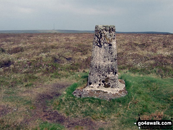
71. Great Rhos
660m (2,166ft)
Mountain (98th in Wales, 233rd in England & Wales)
Nuttall (129th in Wales, 309th in England & Wales)
Marilyn (46th in Wales, 675th in GB)
OS Trig Point
To walk, climb & bag Great Rhos use this easy-to-follow walk:
See the location of Great Rhos and walks up it on a google MapGreat Rhos is on interactive maps:
OS Explorer (Orange Covers): 200
OS Landranger (Pink Covers): 148
A downloadable go4awalk.com PDF Peak Bagging Map featuring Great Rhos will be available soon. |
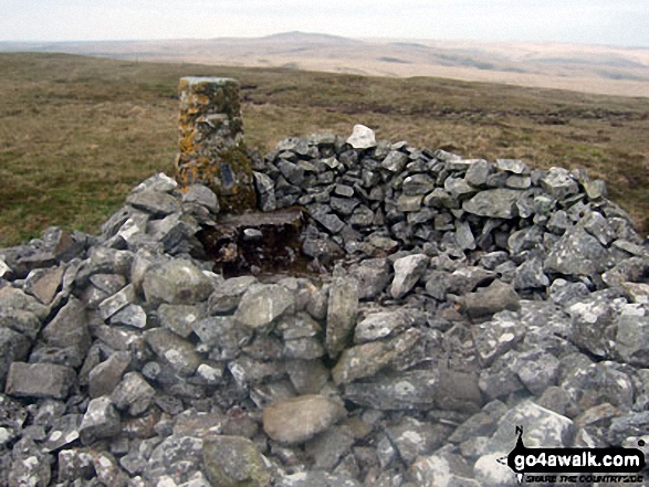
72. Gorllwyn (Pen y Gorllwyn)
613m (2,012ft)
Mountain (131st in Wales, 308th in England & Wales)
Nuttall (181st in Wales, 426th in England & Wales)
OS Trig Point
To walk, climb & bag Gorllwyn (Pen y Gorllwyn) use this easy-to-follow walk:
See the location of Gorllwyn (Pen y Gorllwyn) and walks up it on a google MapGorllwyn (Pen y Gorllwyn) is on interactive maps:
OS Explorer (Orange Covers): 200
OS Landranger (Pink Covers): 147
A downloadable go4awalk.com PDF Peak Bagging Map featuring Gorllwyn (Pen y Gorllwyn) will be available soon. |
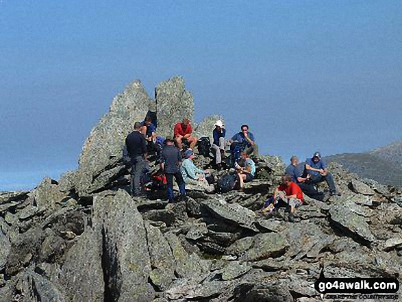
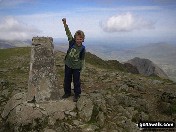
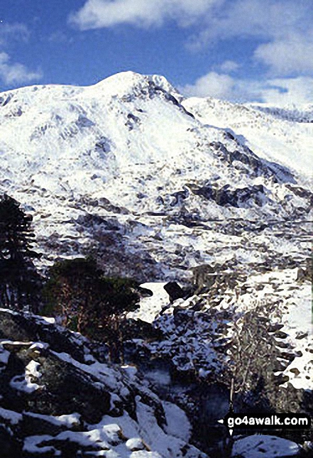
73. Glyder Fawr
999m (3,279ft)
Mountain (5th in Wales, 5th in England & Wales)
Nuttall (5th in Wales, 5th in England & Wales)
Marilyn (3rd in Wales, 111th in GB)
We hope to have walks that climb & bag Glyder Fawr very soon
See the location of Glyder Fawr and walks up it on a google MapGlyder Fawr is on interactive maps:
OS Explorer (Orange Covers): OL17
OS Landranger (Pink Covers): 115
Glyder Fawr is on downloadable PDF you can Print or Save to your Phone:
|
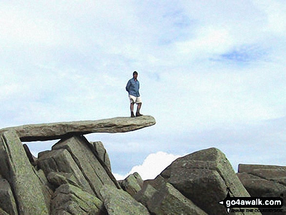
74. Glyder Fach
990m (3,249ft)
Mountain (6th in Wales, 6th in England & Wales)
Nuttall (6th in Wales, 6th in England & Wales)
To walk, climb & bag Glyder Fach use any of these easy-to-follow walks:
See the location of Glyder Fach and walks up it on a google MapGlyder Fach is on interactive maps:
OS Explorer (Orange Covers): OL17
OS Landranger (Pink Covers): 115
Glyder Fach is on downloadable PDF you can Print or Save to your Phone:
|
75. Glasgwm
779m (2,556ft)
Mountain (41st in Wales, 95th in England & Wales)
Nuttall (52nd in Wales, 117th in England & Wales)
Marilyn (18th in Wales, 432nd in GB)
To walk, climb & bag Glasgwm use this easy-to-follow walk:
See the location of Glasgwm and walks up it on a google MapGlasgwm is on interactive maps:
OS Explorer (Orange Covers): OL23
OS Landranger (Pink Covers): 124 and
125
Glasgwm is on downloadable PDF you can Print or Save to your Phone:
|
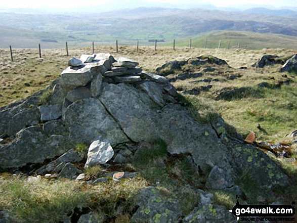
76. Garreg Las (Twyn Swnd)
635m (2,084ft)
Mountain (109th in Wales, 266th in England & Wales)
Nuttall (150th in Wales, 357th in England & Wales)
To walk, climb & bag Garreg Las (Twyn Swnd) use this easy-to-follow walk:
See the location of Garreg Las (Twyn Swnd) and walks up it on a google MapGarreg Las (Twyn Swnd) is on interactive maps:
OS Explorer (Orange Covers): OL12
OS Landranger (Pink Covers): 160
Garreg Las (Twyn Swnd) is on downloadable PDF you can Print or Save to your Phone:
|
77. Garnedd Ugain (Crib y Ddysgl)
1,066m (3,499ft)
Mountain (2nd in Wales, 2nd in England & Wales)
Nuttall (2nd in Wales, 2nd in England & Wales)
OS Trig Point
To walk, climb & bag Garnedd Ugain (Crib y Ddysgl) use any of these easy-to-follow walks:
See the location of Garnedd Ugain (Crib y Ddysgl) and walks up it on a google MapGarnedd Ugain (Crib y Ddysgl) is on interactive maps:
OS Explorer (Orange Covers): OL17
OS Landranger (Pink Covers): 115
Garnedd Ugain (Crib y Ddysgl) is on downloadable PDF you can Print or Save to your Phone:
|
78. Gallt yr Ogof
763m (2,504ft)
Mountain (45th in Wales, 108th in England & Wales)
Nuttall (56th in Wales, 132nd in England & Wales)
To walk, climb & bag Gallt yr Ogof use either of these easy-to-follow walks:
See the location of Gallt yr Ogof and walks up it on a google MapGallt yr Ogof is on interactive maps:
OS Explorer (Orange Covers): OL17
OS Landranger (Pink Covers): 115
Gallt yr Ogof is on downloadable PDF you can Print or Save to your Phone:
|
79. Gallt y Daren
619m (2,032ft)
Mountain (125th in Wales, 295th in England & Wales)
Nuttall (172nd in Wales, 407th in England & Wales)
To walk, climb & bag Gallt y Daren use either of these easy-to-follow walks:
See the location of Gallt y Daren and walks up it on a google MapGallt y Daren is on interactive maps:
OS Explorer (Orange Covers): OL18 and
OL23
OS Landranger (Pink Covers): 124
Gallt y Daren is on downloadable PDF you can Print or Save to your Phone:
|
80. Foel-goch
831m (2,727ft)
Mountain (28th in Wales, 59th in England & Wales)
Nuttall (32nd in Wales, 68th in England & Wales)
To walk, climb & bag Foel-goch use either of these easy-to-follow walks:
See the location of Foel-goch and walks up it on a google MapFoel-goch is on interactive maps:
OS Explorer (Orange Covers): OL17
OS Landranger (Pink Covers): 115
Foel-goch is on downloadable PDF you can Print or Save to your Phone:
|
81. Foel-fras (Carneddau)
942m (3,091ft)
Mountain (11th in Wales, 14th in England & Wales)
Nuttall (12th in Wales, 16th in England & Wales)
OS Trig Point
We hope to have walks that climb & bag Foel-fras (Carneddau) very soon
See the location of Foel-fras (Carneddau) and walks up it on a google MapFoel-fras (Carneddau) is on interactive maps:
OS Explorer (Orange Covers): OL17
OS Landranger (Pink Covers): 115
Foel-fras (Carneddau) is on downloadable PDF you can Print or Save to your Phone:
|
82. Foel y Geifr (Berwyns)
626m (2,055ft)
Mountain (119th in Wales, 283rd in England & Wales)
Nuttall (164th in Wales, 385th in England & Wales)
OS Trig Point
To walk, climb & bag Foel y Geifr (Berwyns) use either of these easy-to-follow walks:
See the location of Foel y Geifr (Berwyns) and walks up it on a google MapFoel y Geifr (Berwyns) is on interactive maps:
OS Explorer (Orange Covers): OL23
OS Landranger (Pink Covers): 125
Foel y Geifr (Berwyns) is on downloadable PDF you can Print or Save to your Phone:
|
83. Foel Wen
691m (2,267ft)
Mountain (71st in Wales, 181st in England & Wales)
Nuttall (92nd in Wales, 235th in England & Wales)
To walk, climb & bag Foel Wen use this easy-to-follow walk:
See the location of Foel Wen and walks up it on a google MapFoel Wen is on interactive maps:
OS Explorer (Orange Covers): 255
OS Landranger (Pink Covers): 125
Foel Wen is on downloadable PDF you can Print or Save to your Phone:
|
84. Foel Penolau
614m (2,016ft)
Mountain (128th in Wales, 304th in England & Wales)
Nuttall (178th in Wales, 421st in England & Wales)
Foel Penolau was upgraded to a Welsh Mountain (Hewiit) in December, 2018
To walk, climb & bag Foel Penolau use this easy-to-follow walk:
See the location of Foel Penolau and walks up it on a google MapFoel Penolau is on interactive maps:
OS Explorer (Orange Covers): OL18
OS Landranger (Pink Covers): 124
Foel Penolau is on downloadable PDF you can Print or Save to your Phone:
|
85. Foel Hafod-fynydd
689m (2,260ft)
Mountain (75th in Wales, 186th in England & Wales)
Nuttall (97th in Wales, 242nd in England & Wales)
To walk, climb & bag Foel Hafod-fynydd use this easy-to-follow walk:
See the location of Foel Hafod-fynydd and walks up it on a google MapFoel Hafod-fynydd is on interactive maps:
OS Explorer (Orange Covers): OL23
OS Landranger (Pink Covers): 124
Foel Hafod-fynydd is on downloadable PDF you can Print or Save to your Phone:
|
86. Foel Gron
629m (2,064ft)
Mountain (116th in Wales, 277th in England & Wales)
Nuttall (160th in Wales, 375th in England & Wales)
To walk, climb & bag Foel Gron use either of these easy-to-follow walks:
See the location of Foel Gron and walks up it on a google MapFoel Gron is on interactive maps:
OS Explorer (Orange Covers): OL17
OS Landranger (Pink Covers): 115
Foel Gron is on downloadable PDF you can Print or Save to your Phone:
|
87. Foel Grach
976m (3,203ft)
Mountain (8th in Wales, 9th in England & Wales)
Nuttall (8th in Wales, 9th in England & Wales)
To walk, climb & bag Foel Grach use this easy-to-follow walk:
See the location of Foel Grach and walks up it on a google MapFoel Grach is on interactive maps:
OS Explorer (Orange Covers): OL17
OS Landranger (Pink Covers): 115
Foel Grach is on downloadable PDF you can Print or Save to your Phone:
|
88. Foel Goch (Berwyns)
612m (2,010ft)
Mountain (130th in Wales, 307th in England & Wales)
Nuttall (182nd in Wales, 427th in England & Wales)
To walk, climb & bag Foel Goch (Berwyns) use either of these easy-to-follow walks:
See the location of Foel Goch (Berwyns) and walks up it on a google MapFoel Goch (Berwyns) is on interactive maps:
OS Explorer (Orange Covers): OL23
OS Landranger (Pink Covers): 125
Foel Goch (Berwyns) is on downloadable PDF you can Print or Save to your Phone:
|
89. Foel Goch (Arenigs)
611m (2,005ft)
Mountain (132nd in Wales, 310th in England & Wales)
Nuttall (184th in Wales, 433rd in England & Wales)
Marilyn (52nd in Wales, 748th in GB)
OS Trig Point
We hope to have walks that climb & bag Foel Goch (Arenigs) very soon
See the location of Foel Goch (Arenigs) and walks up it on a google MapFoel Goch (Arenigs) is on interactive maps:
OS Explorer (Orange Covers): OL18
OS Landranger (Pink Covers): 124 and
125
Foel Goch (Arenigs) is on downloadable PDF you can Print or Save to your Phone:
|
90. Foel Cwm-Sian Llwyd
648m (2,127ft)
Mountain (104th in Wales, 251st in England & Wales)
Nuttall (141st in Wales, 335th in England & Wales)
OS Trig Point
To walk, climb & bag Foel Cwm-Sian Llwyd use either of these easy-to-follow walks:
See the location of Foel Cwm-Sian Llwyd and walks up it on a google MapFoel Cwm-Sian Llwyd is on interactive maps:
OS Explorer (Orange Covers): 255
OS Landranger (Pink Covers): 125
Foel Cwm-Sian Llwyd is on downloadable PDF you can Print or Save to your Phone:
|
Page 3 of 5 Go to page:
1 2 3 4 5 |
View these 136 Mountains, Peaks, Tops and Hills:
Is there a Mountain, Peak, Top or Hill missing from the above google map or list?
Let us know an we will add it to our database.

 Snowdon (Yr Wyddfa) in The BerwynsWales


