England - a fully detailed list of all the Mountains, Peaks, Tops and Hills (Page 1 of 6)
England is defined as the whole of the country of England which includes the National Parks of Dartmoor, Exmoor, The Lake District, The Peak District, The North York Moors, Northumberland, The South Downs and The Yorkshire Dales, as well as The Chilterns, The Cotswolds, The Forest of Bowland, The North Peninnes, The Shropshire Hills and The South Peninnes.
If you count only the Marilyns there are 173 tops to climb, bag & conquer and the highest point is Scafell Pike at 978m (3,210ft).
To see these Mountains, Peaks, Tops and Hills displayed in different ways - see the options in the left-hand column and towards the bottom of this page.
LOG ON and RELOAD this page to show which Mountains, Peaks, Tops and Hills you have already climbed, bagged & conquered [. . . more details]
Page 1 of 6 Go to page:
1 2 3 4 5 6 |
See this list in: Alphabetical Order
| Height Order‡
To reverse the order select the link again.
Mountain, Peak, Top or Hill:
Bagged
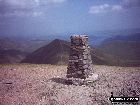
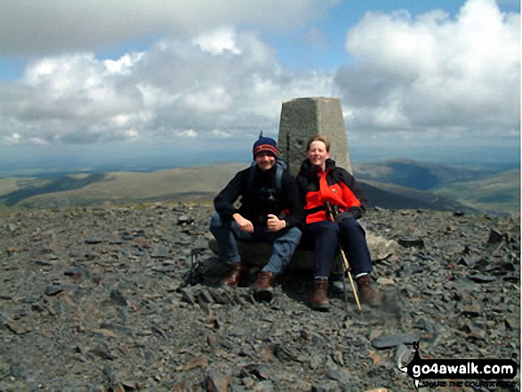
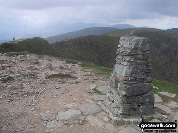
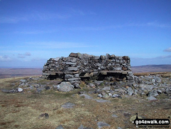
1. Scafell Pike
978m (3,210ft)
Wainwright (No. 1)
Mountain (1st in England, 8th in England & Wales)
Nuttall (1st in England, 8th in England & Wales)
Marilyn (1st in England, 138th in GB)
OS Trig Point
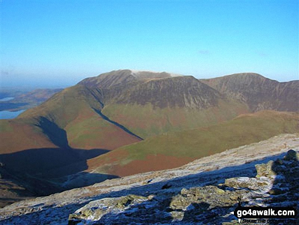
Scafell Pike is the highest point in the county of Cumbria, the highest point in The Lake District National Park and the highest point in England. It was also the highest point in the old county of Cumberland.
To walk, climb & bag Scafell Pike use any of these easy-to-follow walks:
See the location of Scafell Pike and walks up it on a google MapScafell Pike is on interactive maps:
OS Explorer (Orange Covers): OL6
OS Landranger (Pink Covers): 89 and
90
Scafell Pike is on downloadable PDF you can Print or Save to your Phone:
*Version including the walk routes marked on it that you need to follow to Walk all 214 Wainwrights in just 59 walks. |
2. Helvellyn
950m (3,118ft)
Wainwright (No. 3)
Mountain (3rd in England, 12th in England & Wales)
Nuttall (4th in England, 14th in England & Wales)
Marilyn (2nd in England, 165th in GB)
OS Trig Point
To walk, climb & bag Helvellyn use any of these easy-to-follow walks:
See the location of Helvellyn and walks up it on a google MapHelvellyn is on interactive maps:
OS Explorer (Orange Covers): OL5
OS Landranger (Pink Covers): 90
Helvellyn is on downloadable PDF you can Print or Save to your Phone:
*Version including the walk routes marked on it that you need to follow to Walk all 214 Wainwrights in just 59 walks. |
3. Skiddaw
930m (3,052ft)
Wainwright (No. 4)
Mountain (6th in England, 17th in England & Wales)
Nuttall (7th in England, 19th in England & Wales)
Marilyn (3rd in England, 189th in GB)
OS Trig Point
To walk, climb & bag Skiddaw use any of these easy-to-follow walks:
See the location of Skiddaw and walks up it on a google MapSkiddaw is on interactive maps:
OS Explorer (Orange Covers): OL4
OS Landranger (Pink Covers): 89 and
90
Skiddaw is on downloadable PDF you can Print or Save to your Phone:
*Version including the walk routes marked on it that you need to follow to Walk all 214 Wainwrights in just 59 walks. |
4. Great Gable
899m (2,951ft)
Wainwright (No. 7)
Mountain (9th in England, 25th in England & Wales)
Nuttall (11th in England, 28th in England & Wales)
Marilyn (4th in England, 238th in GB)
To walk, climb & bag Great Gable use any of these easy-to-follow walks:
See the location of Great Gable and walks up it on a google MapGreat Gable is on interactive maps:
OS Explorer (Orange Covers): OL4
OS Landranger (Pink Covers): 89 and
90
Great Gable is on downloadable PDF you can Print or Save to your Phone:
*Version including the walk routes marked on it that you need to follow to Walk all 214 Wainwrights in just 59 walks. |
5. Cross Fell
893m (2,931ft)
Mountain (10th in England, 28th in England & Wales)
Nuttall (12th in England, 30th in England & Wales)
Marilyn (5th in England, 248th in GB)
OS Trig Point
To walk, climb & bag Cross Fell use either of these easy-to-follow walks:
See the location of Cross Fell and walks up it on a google MapCross Fell is on interactive maps:
OS Explorer (Orange Covers): OL31
OS Landranger (Pink Covers): 91
Cross Fell is on downloadable PDF you can Print or Save to your Phone:
|
6. Pillar
892m (2,928ft)
Wainwright (No. 8)
Mountain (11th in England, 29th in England & Wales)
Nuttall (13th in England, 33rd in England & Wales)
Marilyn (6th in England, 249th in GB)
OS Trig Point
To walk, climb & bag Pillar use any of these easy-to-follow walks:
See the location of Pillar and walks up it on a google MapPillar is on interactive maps:
OS Explorer (Orange Covers): OL4
OS Landranger (Pink Covers): 89 and
90
Pillar is on downloadable PDF you can Print or Save to your Phone:
*Version including the walk routes marked on it that you need to follow to Walk all 214 Wainwrights in just 59 walks. |
7. Fairfield
873m (2,865ft)
Wainwright (No. 13)
Mountain (15th in England, 35th in England & Wales)
Nuttall (18th in England, 40th in England & Wales)
Marilyn (7th in England, 280th in GB)
To walk, climb & bag Fairfield use any of these easy-to-follow walks:
See the location of Fairfield and walks up it on a google MapFairfield is on interactive maps:
OS Explorer (Orange Covers): OL5
OS Landranger (Pink Covers): 90
Fairfield is on downloadable PDF you can Print or Save to your Phone:
*Version including the walk routes marked on it that you need to follow to Walk all 214 Wainwrights in just 59 walks. |
8. Blencathra or Saddleback (Hallsfell Top)
868m (2,849ft)
Wainwright (No. 14)
Mountain (16th in England, 38th in England & Wales)
Nuttall (19th in England, 44th in England & Wales)
Marilyn (8th in England, 285th in GB)
OS Trig Point
To walk, climb & bag Blencathra or Saddleback (Hallsfell Top) use any of these easy-to-follow walks:
See the location of Blencathra or Saddleback (Hallsfell Top) and walks up it on a google MapBlencathra or Saddleback (Hallsfell Top) is on interactive maps:
OS Explorer (Orange Covers): OL5
OS Landranger (Pink Covers): 90
Blencathra or Saddleback (Hallsfell Top) is on downloadable PDF you can Print or Save to your Phone:
*Version including the walk routes marked on it that you need to follow to Walk all 214 Wainwrights in just 59 walks. |
9. Grasmoor
851m (2,794ft)
Wainwright (No. 20)
Mountain (23rd in England, 47th in England & Wales)
Nuttall (28th in England, 55th in England & Wales)
Marilyn (9th in England, 313th in GB)
To walk, climb & bag Grasmoor use any of these easy-to-follow walks:
See the location of Grasmoor and walks up it on a google MapGrasmoor is on interactive maps:
OS Explorer (Orange Covers): OL4
OS Landranger (Pink Covers): 89 and
90
Grasmoor is on downloadable PDF you can Print or Save to your Phone:
*Version including the walk routes marked on it that you need to follow to Walk all 214 Wainwrights in just 59 walks. |
10. St Sunday Crag
841m (2,760ft)
Wainwright (No. 22)
Mountain (27th in England, 53rd in England & Wales)
Nuttall (33rd in England, 61st in England & Wales)
Marilyn (10th in England, 328th in GB)
To walk, climb & bag St Sunday Crag use any of these easy-to-follow walks:
See the location of St Sunday Crag and walks up it on a google MapSt Sunday Crag is on interactive maps:
OS Explorer (Orange Covers): OL5
OS Landranger (Pink Covers): 90
St Sunday Crag is on downloadable PDF you can Print or Save to your Phone:
*Version including the walk routes marked on it that you need to follow to Walk all 214 Wainwrights in just 59 walks. |
11. High Street
828m (2,717ft)
Wainwright (No. 25)
Mountain (32nd in England, 61st in England & Wales)
Nuttall (38th in England, 70th in England & Wales)
Marilyn (11th in England, 345th in GB)
OS Trig Point
To walk, climb & bag High Street use any of these easy-to-follow walks:
See the location of High Street and walks up it on a google MapHigh Street is on interactive maps:
OS Explorer (Orange Covers): OL5
OS Landranger (Pink Covers): 90
High Street is on downloadable PDF you can Print or Save to your Phone:
*Version including the walk routes marked on it that you need to follow to Walk all 214 Wainwrights in just 59 walks. |
12. The Cheviot
815m (2,674ft)
Mountain (36th in England, 67th in England & Wales)
Nuttall (43rd in England, 80th in England & Wales)
Marilyn (12th in England, 360th in GB)
OS Trig Point
The Cheviot is the highest point in the county of Northumberland.
To walk, climb & bag The Cheviot use any of these easy-to-follow walks:
See the location of The Cheviot and walks up it on a google MapThe Cheviot is on interactive maps:
OS Explorer (Orange Covers): OL16
OS Landranger (Pink Covers): 74 and
75
A downloadable go4awalk.com PDF Peak Bagging Map featuring The Cheviot will be available soon. |
13. High Stile
807m (2,646ft)
Wainwright (No. 29)
Mountain (38th in England, 71st in England & Wales)
Nuttall (45th in England, 86th in England & Wales)
Marilyn (13th in England, 378th in GB)
To walk, climb & bag High Stile use any of these easy-to-follow walks:
See the location of High Stile and walks up it on a google MapHigh Stile is on interactive maps:
OS Explorer (Orange Covers): OL4
OS Landranger (Pink Covers): 89
High Stile is on downloadable PDF you can Print or Save to your Phone:
*Version including the walk routes marked on it that you need to follow to Walk all 214 Wainwrights in just 59 walks. |
14. The Old Man of Coniston
802m (2,633ft)
Wainwright (No. 30)
Mountain (41st in England, 75th in England & Wales)
Nuttall (48th in England, 90th in England & Wales)
Marilyn (14th in England, 387th in GB)
OS Trig Point
To walk, climb & bag The Old Man of Coniston use any of these easy-to-follow walks:
See the location of The Old Man of Coniston and walks up it on a google MapThe Old Man of Coniston is on interactive maps:
OS Explorer (Orange Covers): OL6
OS Landranger (Pink Covers): 96 and
97
The Old Man of Coniston is on downloadable PDF you can Print or Save to your Phone:
*Version including the walk routes marked on it that you need to follow to Walk all 214 Wainwrights in just 59 walks. |
15. Kirk Fell
802m (2,631ft)
Wainwright (No. 33)
Mountain (42nd in England, 77th in England & Wales)
Nuttall (49th in England, 92nd in England & Wales)
Marilyn (15th in England, 391st in GB)
To walk, climb & bag Kirk Fell use any of these easy-to-follow walks:
See the location of Kirk Fell and walks up it on a google MapKirk Fell is on interactive maps:
OS Explorer (Orange Covers): OL4
OS Landranger (Pink Covers): 89 and
90
Kirk Fell is on downloadable PDF you can Print or Save to your Phone:
*Version including the walk routes marked on it that you need to follow to Walk all 214 Wainwrights in just 59 walks. |
16. Grisedale Pike
791m (2,596ft)
Wainwright (No. 40)
Mountain (48th in England, 87th in England & Wales)
Nuttall (57th in England, 106th in England & Wales)
Marilyn (16th in England, 410th in GB)
OS Trig Point
To walk, climb & bag Grisedale Pike use any of these easy-to-follow walks:
See the location of Grisedale Pike and walks up it on a google MapGrisedale Pike is on interactive maps:
OS Explorer (Orange Covers): OL4
OS Landranger (Pink Covers): 89 and
90
Grisedale Pike is on downloadable PDF you can Print or Save to your Phone:
*Version including the walk routes marked on it that you need to follow to Walk all 214 Wainwrights in just 59 walks. |
17. Mickle Fell
788m (2,586ft)
Mountain (49th in England, 88th in England & Wales)
Nuttall (58th in England, 107th in England & Wales)
Marilyn (17th in England, 414th in GB)
Mickle Fell is the highest point in the county of County Durham.
To walk, climb & bag Mickle Fell use this easy-to-follow walk:
See the location of Mickle Fell and walks up it on a google MapMickle Fell is on interactive maps:
OS Explorer (Orange Covers): OL19
OS Landranger (Pink Covers): 91 and
92
Mickle Fell is on downloadable PDF you can Print or Save to your Phone:
|
18. Red Screes
776m (2,547ft)
Wainwright (No. 49)
Mountain (56th in England, 98th in England & Wales)
Nuttall (68th in England, 120th in England & Wales)
Marilyn (18th in England, 437th in GB)
OS Trig Point
To walk, climb & bag Red Screes use any of these easy-to-follow walks:
See the location of Red Screes and walks up it on a google MapRed Screes is on interactive maps:
OS Explorer (Orange Covers): OL7
OS Landranger (Pink Covers): 90
Red Screes is on downloadable PDF you can Print or Save to your Phone:
*Version including the walk routes marked on it that you need to follow to Walk all 214 Wainwrights in just 59 walks. |
19. Stony Cove Pike (Caudale Moor)
763m (2,504ft)
Wainwright (No. 55)
Mountain (63rd in England, 109th in England & Wales)
Nuttall (77th in England, 133rd in England & Wales)
Marilyn (19th in England, 465th in GB)
In Alfred Wainwright's 'Book Two - The Far Eastern Fells' the chapter for Stony Cove Pike (Caudale Moor) is entitled simply 'Caudale Moor'.
To walk, climb & bag Stony Cove Pike (Caudale Moor) use any of these easy-to-follow walks:
See the location of Stony Cove Pike (Caudale Moor) and walks up it on a google MapStony Cove Pike (Caudale Moor) is on interactive maps:
OS Explorer (Orange Covers): OL5 and
OL7
OS Landranger (Pink Covers): 90
Stony Cove Pike (Caudale Moor) is on downloadable PDF you can Print or Save to your Phone:
*Version including the walk routes marked on it that you need to follow to Walk all 214 Wainwrights in just 59 walks. |
20. High Raise (Langdale)
762m (2,501ft)
Wainwright (No. 57)
Mountain (65th in England, 111th in England & Wales)
Nuttall (79th in England, 135th in England & Wales)
Marilyn (20th in England, 467th in GB)
OS Trig Point
To walk, climb & bag High Raise (Langdale) use any of these easy-to-follow walks:
See the location of High Raise (Langdale) and walks up it on a google MapHigh Raise (Langdale) is on interactive maps:
OS Explorer (Orange Covers): OL4 and
OL6
OS Landranger (Pink Covers): 89 and
90
High Raise (Langdale) is on downloadable PDF you can Print or Save to your Phone:
*Version including the walk routes marked on it that you need to follow to Walk all 214 Wainwrights in just 59 walks. |
21. Dale Head (Newlands)
753m (2,471ft)
Wainwright (No. 63)
Mountain (68th in England, 117th in England & Wales)
Nuttall (84th in England, 144th in England & Wales)
Marilyn (21st in England, 477th in GB)
To walk, climb & bag Dale Head (Newlands) use any of these easy-to-follow walks:
See the location of Dale Head (Newlands) and walks up it on a google MapDale Head (Newlands) is on interactive maps:
OS Explorer (Orange Covers): OL4
OS Landranger (Pink Covers): 89 and
90
Dale Head (Newlands) is on downloadable PDF you can Print or Save to your Phone:
*Version including the walk routes marked on it that you need to follow to Walk all 214 Wainwrights in just 59 walks. |
22. Burnhope Seat
747m (2,452ft)
Mountain (70th in England, 123rd in England & Wales)
Nuttall (86th in England, 150th in England & Wales)
Marilyn (22nd in England, 487th in GB)
OS Trig Point
We hope to have walks that climb & bag Burnhope Seat very soon
See the location of Burnhope Seat and walks up it on a google MapBurnhope Seat is on interactive maps:
OS Explorer (Orange Covers): OL31
OS Landranger (Pink Covers): 91
Burnhope Seat is on downloadable PDF you can Print or Save to your Phone:
|
23. Robinson
737m (2,419ft)
Wainwright (No. 67)
Mountain (74th in England, 129th in England & Wales)
Nuttall (93rd in England, 160th in England & Wales)
Marilyn (23rd in England, 508th in GB)
To walk, climb & bag Robinson use any of these easy-to-follow walks:
See the location of Robinson and walks up it on a google MapRobinson is on interactive maps:
OS Explorer (Orange Covers): OL4
OS Landranger (Pink Covers): 89 and
90
Robinson is on downloadable PDF you can Print or Save to your Phone:
*Version including the walk routes marked on it that you need to follow to Walk all 214 Wainwrights in just 59 walks. |
24. Seat Sandal
736m (2,417ft)
Wainwright (No. 68)
Mountain (75th in England, 130th in England & Wales)
Nuttall (94th in England, 161st in England & Wales)
Marilyn (24th in England, 512th in GB)
To walk, climb & bag Seat Sandal use any of these easy-to-follow walks:
See the location of Seat Sandal and walks up it on a google MapSeat Sandal is on interactive maps:
OS Explorer (Orange Covers): OL5
OS Landranger (Pink Covers): 90
Seat Sandal is on downloadable PDF you can Print or Save to your Phone:
*Version including the walk routes marked on it that you need to follow to Walk all 214 Wainwrights in just 59 walks. |
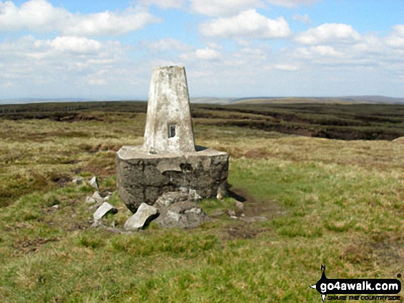
25. Whernside
736m (2,416ft)
Mountain (76th in England, 131st in England & Wales)
Nuttall (95th in England, 162nd in England & Wales)
Marilyn (25th in England, 513th in GB)
OS Trig Point
Whernside is the highest point in The Yorkshire Dales National Park and the highest point in the county of North Yorkshire.
To walk, climb & bag Whernside use any of these easy-to-follow walks:
See the location of Whernside and walks up it on a google MapWhernside is on interactive maps:
OS Explorer (Orange Covers): OL2
OS Landranger (Pink Covers): 98
Whernside is on downloadable PDF you can Print or Save to your Phone:
|
26. Ingleborough
724m (2,375ft)
Mountain (83rd in England, 144th in England & Wales)
Nuttall (104th in England, 178th in England & Wales)
Marilyn (26th in England, 540th in GB)
OS Trig Point
To walk, climb & bag Ingleborough use any of these easy-to-follow walks:
See the location of Ingleborough and walks up it on a google MapIngleborough is on interactive maps:
OS Explorer (Orange Covers): OL2
OS Landranger (Pink Covers): 98
Ingleborough is on downloadable PDF you can Print or Save to your Phone:
|
27. Great Shunner Fell
716m (2,349ft)
Mountain (88th in England, 151st in England & Wales)
Nuttall (111th in England, 190th in England & Wales)
Marilyn (27th in England, 554th in GB)
OS Trig Point
To walk, climb & bag Great Shunner Fell use this easy-to-follow walk:
See the location of Great Shunner Fell and walks up it on a google MapGreat Shunner Fell is on interactive maps:
OS Explorer (Orange Covers): OL30
OS Landranger (Pink Covers): 98
Great Shunner Fell is on downloadable PDF you can Print or Save to your Phone:
|
28. Knott (Uldale Fells)
710m (2,330ft)
Wainwright (No. 83)
Mountain (94th in England, 158th in England & Wales)
Nuttall (118th in England, 200th in England & Wales)
Marilyn (28th in England, 567th in GB)
OS Trig Point
To walk, climb & bag Knott (Uldale Fells) use any of these easy-to-follow walks:
See the location of Knott (Uldale Fells) and walks up it on a google MapKnott (Uldale Fells) is on interactive maps:
OS Explorer (Orange Covers): OL4
OS Landranger (Pink Covers): 89 and
90
Knott (Uldale Fells) is on downloadable PDF you can Print or Save to your Phone:
*Version including the walk routes marked on it that you need to follow to Walk all 214 Wainwrights in just 59 walks. |
29. Wild Boar Fell
708m (2,323ft)
Mountain (99th in England, 165th in England & Wales)
Nuttall (123rd in England, 207th in England & Wales)
Marilyn (29th in England, 574th in GB)
OS Trig Point
To walk, climb & bag Wild Boar Fell use either of these easy-to-follow walks:
See the location of Wild Boar Fell and walks up it on a google MapWild Boar Fell is on interactive maps:
OS Explorer (Orange Covers): OL19
OS Landranger (Pink Covers): 98
Wild Boar Fell is on downloadable PDF you can Print or Save to your Phone:
|
30. Pike of Blisco (Pike o' Blisco)
705m (2,314ft)
Wainwright (No. 86)
Mountain (101st in England, 167th in England & Wales)
Nuttall (126th in England, 210th in England & Wales)
Marilyn (30th in England, 580th in GB)
To walk, climb & bag Pike of Blisco (Pike o' Blisco) use any of these easy-to-follow walks:
See the location of Pike of Blisco (Pike o' Blisco) and walks up it on a google MapPike of Blisco (Pike o' Blisco) is on interactive maps:
OS Explorer (Orange Covers): OL6
OS Landranger (Pink Covers): 89 and
90
Pike of Blisco (Pike o' Blisco) is on downloadable PDF you can Print or Save to your Phone:
*Version including the walk routes marked on it that you need to follow to Walk all 214 Wainwrights in just 59 walks. |
Page 1 of 6 Go to page:
1 2 3 4 5 6 |
View these 173 Mountains, Peaks, Tops and Hills:
Is there a Mountain, Peak, Top or Hill missing from the above google map or list?
Let us know an we will add it to our database.

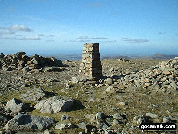
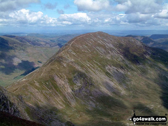
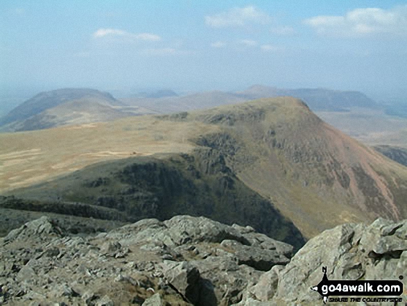
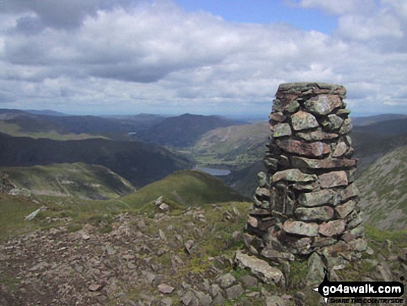

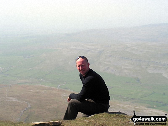
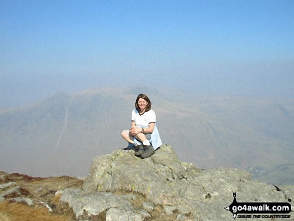
 The view from Scafell Pike in England


