   |
Vital Statistics:
| Length: | 10¾mls (17km) |
| Ascent: | 2,437ft (743m) |
| Time: | 6hrs |
| Grade: |  |
Route outline for walk c317:
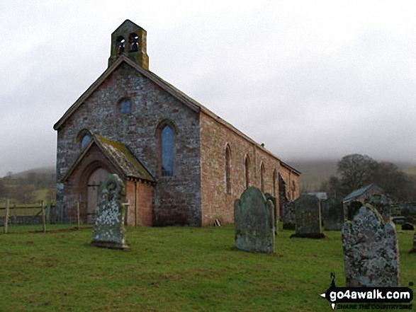
Kirkland - Kirkland Beck - Cocklick Scar - Plylier's Gap - High Cap - Ironwell Band - The Pennine Way - Cross Fell - Crowdundle Head - Tees Head - Sturba Nook - Wildboar Scar - Grumply Hill - Littledale Beck - Cringle Moor - Blencarn - Blencarn Lake - Blencarn Beck - Kirk Hill - Kirkland
Peaks, Summits and Tops reached on this walk:
 1 English Mountain |
 0 Wainwrights |
 1 English Nuttall |
 0 English Deweys |
 0 Wainwright Outlying Fells |
 1 Marilyn |
 0 Bridgets |
Peak Bagging Statistics for this walk:
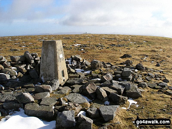
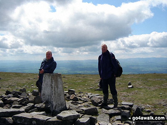
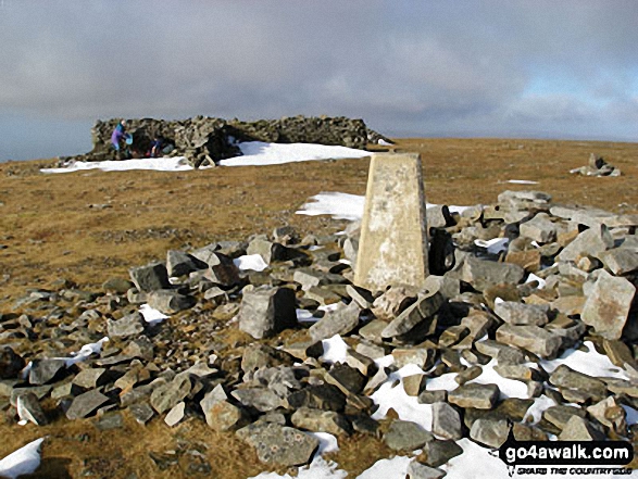
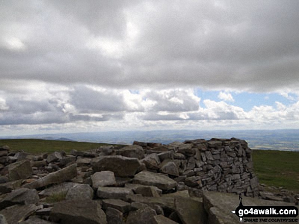
The highest point of this walk is Cross Fell at 893m (2931ft). Cross Fell is classified as an English Mountain (Hewitt) (10th highest in England, 28th highest in England & Wales)
Cross Fell is also known as an English Nuttall (12th highest in England, 30th highest in England & Wales) and an English Marilyn (5th highest in England, 248th highest in the UK).
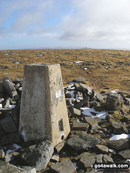
The summit of Cross Fell is marked by an Ordnance Survey Trig Point.
National Trails & Long Paths included on this walk:
Part of this walk follows a section of The Pennine Way, a 404km (251 miles) linear footpath connecting Edale in Derbyshire, England with Kirk Yetholm in The Borders, Scotland. The Pennine Way is waymarked by a National Trail Acorn. For more walks that include a section of this trail see The Pennine Way.
You can find this walk and other nearby walks on these unique free-to-access Interactive Walk Planning Maps:
1:25,000 scale OS Explorer Map (orange/yellow covers):
1:50,000 scale OS Landranger Map (pink/magenta covers):
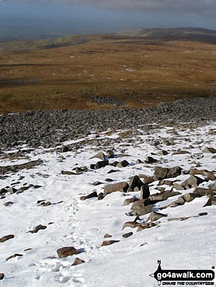
Some Photos and Pictures from Walk c317 Cross Fell from Kirkland
In no particular order . . .
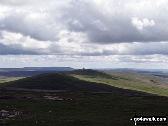
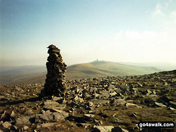
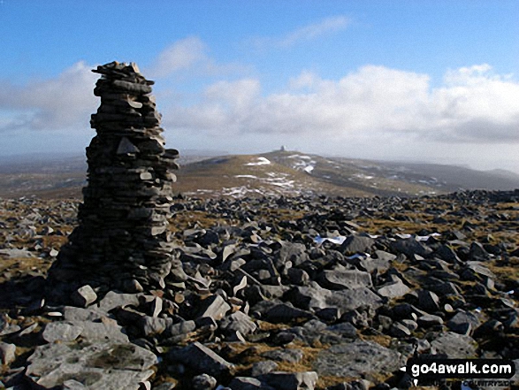
Great Dun Fell and Little Dun Fell from the tall cairn on Cross Fell summit plateau
Send us your photographs and pictures from your walks and hikes
We would love to see your photographs and pictures from walk c317 Cross Fell from Kirkland. Send them in to us as email attachments (configured for any computer) along with your name and where the picture was taken to:
and we shall do our best to publish them.
(Guide Resolution = 300dpi. At least = 660 pixels (wide) x 440 pixels (high).)

You can also submit photos from walk c317 Cross Fell from Kirkland via our Facebook Page.
NB. Please indicate where each photo was taken.


