   |
Vital Statistics:
| Length: | 9½mls (15.5km) |
| Ascent: | 2,800ft (853m) |
| Time: | 6½hrs |
| Grade: |  |
Route outline for walk n132:
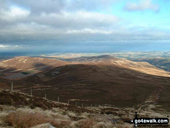
Harthope Burn Valley - Hawsen Burn Parking Area - New Burn - Scald Hill - The Cheviot - Cairn Hill (Scotsmans Cairn) - Harthope Burn - Comb Fell - Hedgehope Hill - Long Crags - Housey Crags - Hawsen Burn Parking Area.
Peaks, Summits and Tops reached on this walk:
 3 English Mountains |
 0 Wainwrights |
 3 English Nuttalls |
 0 English Deweys |
 0 Wainwright Outlying Fells |
 1 Marilyn |
 0 Bridgets |
Peak Bagging Statistics for this walk:
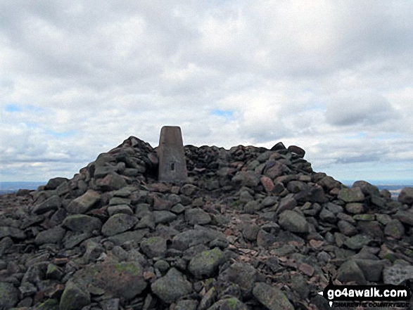
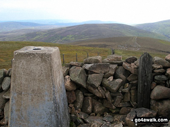
The highest point of this walk is The Cheviot at 815m (2674ft). The Cheviot is classified as an English Mountain (Hewitt) (36th highest in England, 67th highest in England & Wales)
The Cheviot is also known as an English Nuttall (43rd highest in England, 80th highest in England & Wales) and an English Marilyn (12th highest in England, 360th highest in the UK).
The summit of The Cheviot is marked by an Ordnance Survey Trig Point. The Cheviot is the highest point in the county of Northumberland.
Completing this walk will also take you to the top of Hedgehope Hill at 714m (2343ft). Hedgehope Hill is classified as an English Mountain (Hewitt) (91st highest in England, 154th highest in England & Wales)
Hedgehope Hill is also known as an English Nuttall (115th highest in England, 194th highest in England & Wales). The summit of Hedgehope Hill is marked by an Ordnance Survey Trig Point.
You will also reach the summit of Comb Fell at 652m (2139ft). Comb Fell is classified as an English Mountain (Hewitt) (142nd highest in England, 245th highest in England & Wales)
Comb Fell is also known as an English Nuttall (190th highest in England, 328th highest in England & Wales).
You can find this walk and other nearby walks on these unique free-to-access Interactive Walk Planning Maps:
1:25,000 scale OS Explorer Map (orange/yellow covers):
1:50,000 scale OS Landranger Maps (pink/magenta covers):
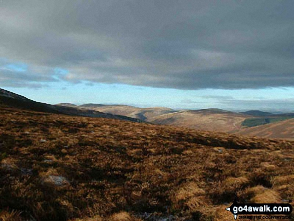
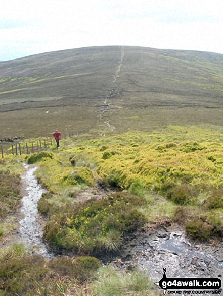
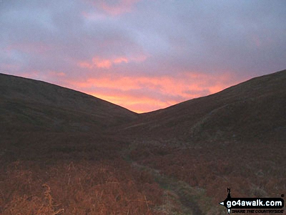
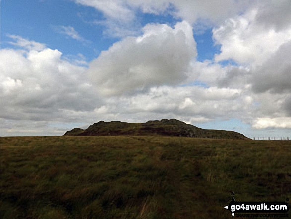
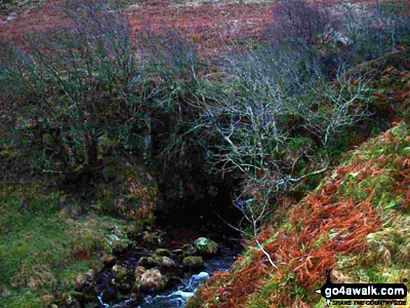
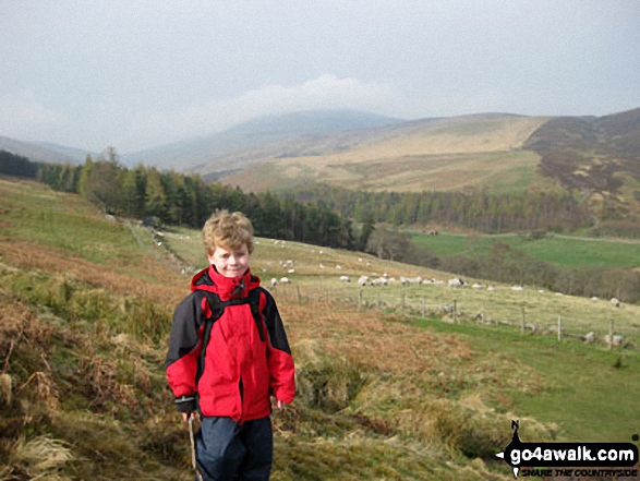
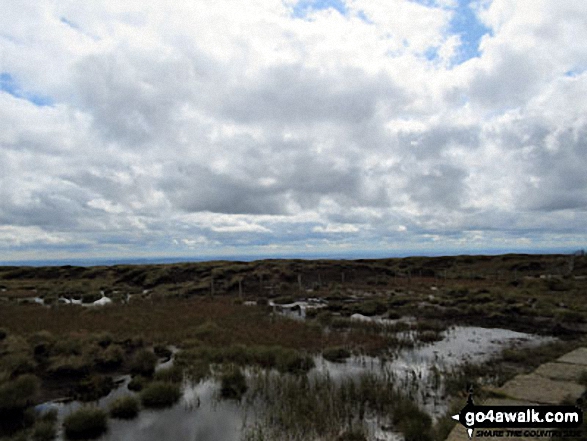
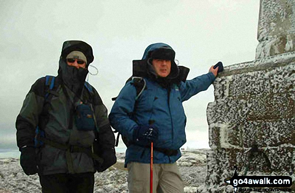
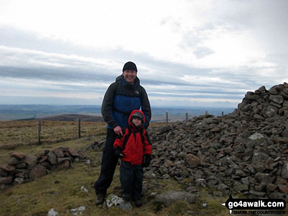
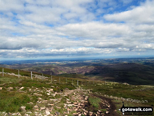
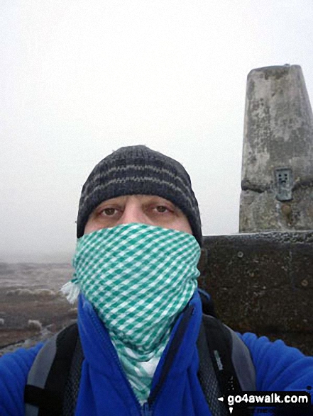
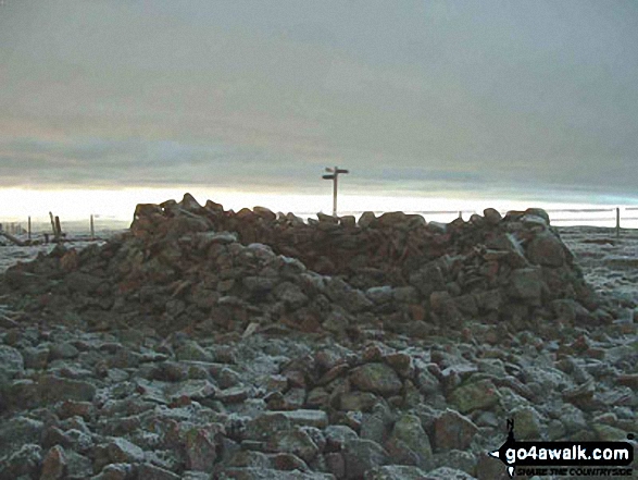
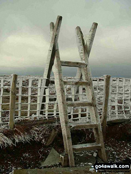
Some Photos and Pictures from Walk n132 The Cheviot, Comb Fell and Hedgehope Hill from Harthope Burn Valley
In no particular order . . .
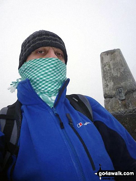
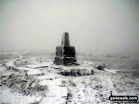
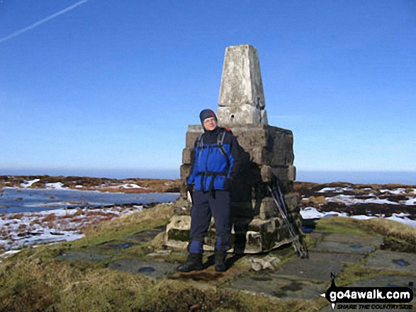
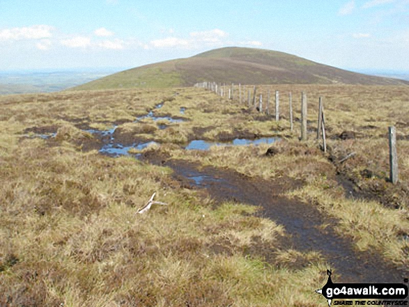
On the summit of The Cheviot - go4awalk n132 The Cheviot, Comb Fell & Hedgehope Hill - on not a very nice day.
Send us your photographs and pictures from your walks and hikes
We would love to see your photographs and pictures from walk n132 The Cheviot, Comb Fell and Hedgehope Hill from Harthope Burn Valley. Send them in to us as email attachments (configured for any computer) along with your name and where the picture was taken to:
and we shall do our best to publish them.
(Guide Resolution = 300dpi. At least = 660 pixels (wide) x 440 pixels (high).)

You can also submit photos from walk n132 The Cheviot, Comb Fell and Hedgehope Hill from Harthope Burn Valley via our Facebook Page.
NB. Please indicate where each photo was taken.


