The Yorkshire Dales National Park - a fully detailed list of all the Mountains, Peaks, Tops and Hills
The Yorkshire Dales National Park, Cumbria, North Yorkshire includes The Howgills Fells, The Northern Dales and The Southern Dales areas of The Yorkshire Dales National Park.
If you count only the Mountains (Hewitts) there are 30 tops to climb, bag & conquer and the highest point is Whernside at 736m (2,416ft).
To see these Mountains, Peaks, Tops and Hills displayed in different ways - see the options in the left-hand column and towards the bottom of this page.
LOG ON and RELOAD this page to show which Mountains, Peaks, Tops and Hills you have already climbed, bagged & conquered [. . . more details]
See this list in: Alphabetical Order
| Height Order‡
To reverse the order select the link again.
Mountain, Peak, Top or Hill:
Bagged
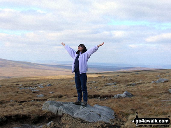
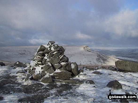
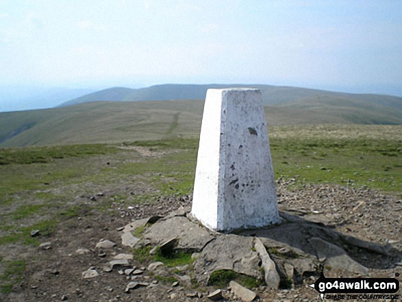
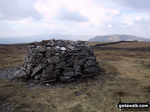
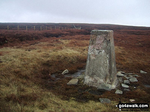
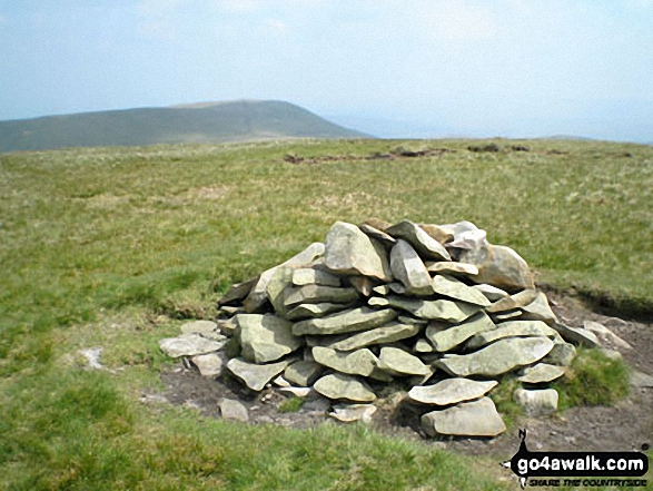
1. Whernside
736m (2,416ft)
Mountain (76th in England, 131st in England & Wales)
Nuttall (95th in England, 162nd in England & Wales)
Marilyn (25th in England, 513th in GB)
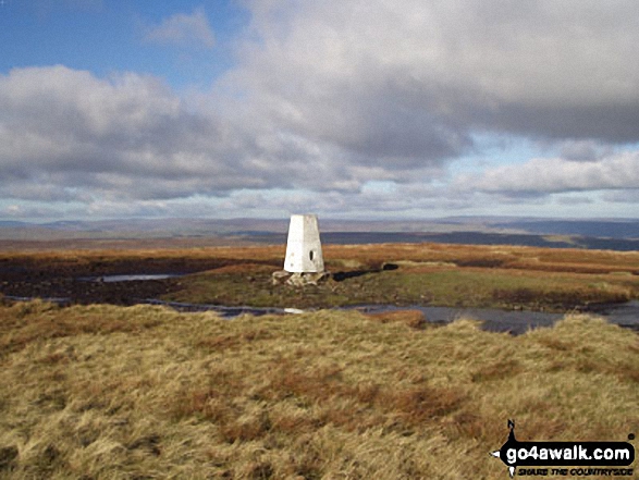
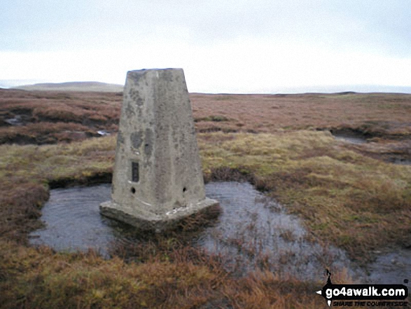
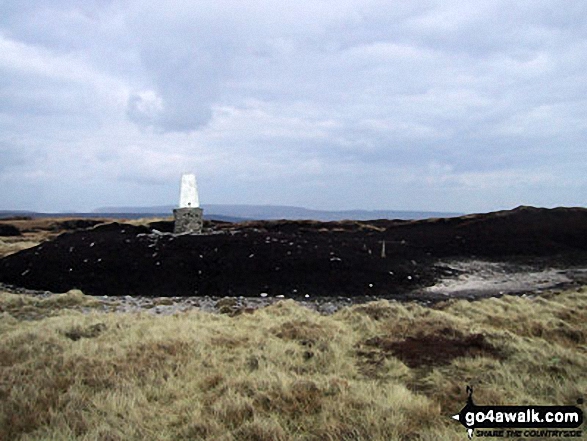
OS Trig Point
Whernside is the highest point in The Yorkshire Dales National Park and the highest point in the county of North Yorkshire.
To walk, climb & bag Whernside use any of these easy-to-follow walks:
See the location of Whernside and walks up it on a google MapWhernside is on interactive maps:
OS Explorer (Orange Covers): OL2
OS Landranger (Pink Covers): 98
Whernside is on downloadable PDF you can Print or Save to your Phone:
|
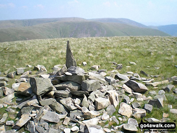
2. Ingleborough
724m (2,375ft)
Mountain (83rd in England, 144th in England & Wales)
Nuttall (104th in England, 178th in England & Wales)
Marilyn (26th in England, 540th in GB)
OS Trig Point
To walk, climb & bag Ingleborough use any of these easy-to-follow walks:
See the location of Ingleborough and walks up it on a google MapIngleborough is on interactive maps:
OS Explorer (Orange Covers): OL2
OS Landranger (Pink Covers): 98
Ingleborough is on downloadable PDF you can Print or Save to your Phone:
|
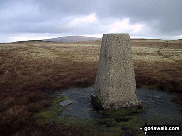
3. Great Shunner Fell
716m (2,349ft)
Mountain (88th in England, 151st in England & Wales)
Nuttall (111th in England, 190th in England & Wales)
Marilyn (27th in England, 554th in GB)
OS Trig Point
To walk, climb & bag Great Shunner Fell use this easy-to-follow walk:
See the location of Great Shunner Fell and walks up it on a google MapGreat Shunner Fell is on interactive maps:
OS Explorer (Orange Covers): OL30
OS Landranger (Pink Covers): 98
Great Shunner Fell is on downloadable PDF you can Print or Save to your Phone:
|
4. High Seat (Mallerstang)
709m (2,326ft)
Mountain (95th in England, 161st in England & Wales)
Nuttall (119th in England, 203rd in England & Wales)
To walk, climb & bag High Seat (Mallerstang) use either of these easy-to-follow walks:
See the location of High Seat (Mallerstang) and walks up it on a google MapHigh Seat (Mallerstang) is on interactive maps:
OS Explorer (Orange Covers): OL19
OS Landranger (Pink Covers): 91 and
92
High Seat (Mallerstang) is on downloadable PDF you can Print or Save to your Phone:
|
5. Wild Boar Fell
708m (2,323ft)
Mountain (99th in England, 165th in England & Wales)
Nuttall (123rd in England, 207th in England & Wales)
Marilyn (29th in England, 574th in GB)
OS Trig Point
To walk, climb & bag Wild Boar Fell use either of these easy-to-follow walks:
See the location of Wild Boar Fell and walks up it on a google MapWild Boar Fell is on interactive maps:
OS Explorer (Orange Covers): OL19
OS Landranger (Pink Covers): 98
Wild Boar Fell is on downloadable PDF you can Print or Save to your Phone:
|
6. Great Whernside
704m (2,310ft)
Mountain (102nd in England, 168th in England & Wales)
Nuttall (127th in England, 211th in England & Wales)
Marilyn (31st in England, 584th in GB)
OS Trig Point
To walk, climb & bag Great Whernside use either of these easy-to-follow walks:
See the location of Great Whernside and walks up it on a google MapGreat Whernside is on interactive maps:
OS Explorer (Orange Covers): OL30
OS Landranger (Pink Covers): 98
Great Whernside is on downloadable PDF you can Print or Save to your Phone:
|
7. Buckden Pike
702m (2,303ft)
Mountain (104th in England, 171st in England & Wales)
Nuttall (131st in England, 216th in England & Wales)
Marilyn (32nd in England, 592nd in GB)
OS Trig Point
To walk, climb & bag Buckden Pike use either of these easy-to-follow walks:
See the location of Buckden Pike and walks up it on a google MapBuckden Pike is on interactive maps:
OS Explorer (Orange Covers): OL30
OS Landranger (Pink Covers): 98
Buckden Pike is on downloadable PDF you can Print or Save to your Phone:
|
8. Pen-y-ghent
694m (2,277ft)
Mountain (108th in England, 179th in England & Wales)
Nuttall (142nd in England, 233rd in England & Wales)
Marilyn (33rd in England, 606th in GB)
OS Trig Point
To walk, climb & bag Pen-y-ghent use any of these easy-to-follow walks:
See the location of Pen-y-ghent and walks up it on a google MapPen-y-ghent is on interactive maps:
OS Explorer (Orange Covers): OL2
OS Landranger (Pink Covers): 98
Pen-y-ghent is on downloadable PDF you can Print or Save to your Phone:
|
9. Great Coum
687m (2,254ft)
Mountain (111th in England, 187th in England & Wales)
Nuttall (146th in England, 245th in England & Wales)
Marilyn (35th in England, 619th in GB)
To walk, climb & bag Great Coum use this easy-to-follow walk:
See the location of Great Coum and walks up it on a google MapGreat Coum is on interactive maps:
OS Explorer (Orange Covers): OL2
OS Landranger (Pink Covers): 98
Great Coum is on downloadable PDF you can Print or Save to your Phone:
|
10. Swarth Fell
681m (2,235ft)
Mountain (114th in England, 194th in England & Wales)
Nuttall (152nd in England, 257th in England & Wales)
To walk, climb & bag Swarth Fell use either of these easy-to-follow walks:
See the location of Swarth Fell and walks up it on a google MapSwarth Fell is on interactive maps:
OS Explorer (Orange Covers): OL19
OS Landranger (Pink Covers): 98
Swarth Fell is on downloadable PDF you can Print or Save to your Phone:
|
11. Plover Hill
680m (2,231ft)
Mountain (115th in England, 195th in England & Wales)
Nuttall (153rd in England, 258th in England & Wales)
To walk, climb & bag Plover Hill use either of these easy-to-follow walks:
See the location of Plover Hill and walks up it on a google MapPlover Hill is on interactive maps:
OS Explorer (Orange Covers): OL2 and
OL30
OS Landranger (Pink Covers): 98
Plover Hill is on downloadable PDF you can Print or Save to your Phone:
|
12. Baugh Fell (Tarn Rigg Hill)
678m (2,225ft)
Mountain (116th in England, 196th in England & Wales)
Nuttall (154th in England, 262nd in England & Wales)
Marilyn (36th in England, 630th in GB)
To walk, climb & bag Baugh Fell (Tarn Rigg Hill) use this easy-to-follow walk:
See the location of Baugh Fell (Tarn Rigg Hill) and walks up it on a google MapBaugh Fell (Tarn Rigg Hill) is on interactive maps:
OS Explorer (Orange Covers): OL19
OS Landranger (Pink Covers): 98
Baugh Fell (Tarn Rigg Hill) is on downloadable PDF you can Print or Save to your Phone:
|
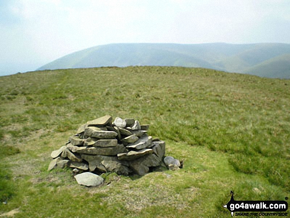
13. The Calf
676m (2,218ft)
Mountain (118th in England, 201st in England & Wales)
Nuttall (157th in England, 268th in England & Wales)
Marilyn (37th in England, 642nd in GB)
OS Trig Point
To walk, climb & bag The Calf use any of these easy-to-follow walks:
See the location of The Calf and walks up it on a google MapThe Calf is on interactive maps:
OS Explorer (Orange Covers): OL19
OS Landranger (Pink Covers): 98
The Calf is on downloadable PDF you can Print or Save to your Phone:
|
14. Calders
675m (2,216ft)
Mountain (119th in England, 202nd in England & Wales)
Nuttall (159th in England, 270th in England & Wales)
To walk, climb & bag Calders use any of these easy-to-follow walks:
See the location of Calders and walks up it on a google MapCalders is on interactive maps:
OS Explorer (Orange Covers): OL19
OS Landranger (Pink Covers): 98
Calders is on downloadable PDF you can Print or Save to your Phone:
|
15. Lovely Seat
675m (2,214ft)
Mountain (121st in England, 204th in England & Wales)
Nuttall (161st in England, 273rd in England & Wales)
Lovely Seat was promoted to Marilyn status in 1995 but demoted again in 2010.
To walk, climb & bag Lovely Seat use this easy-to-follow walk:
See the location of Lovely Seat and walks up it on a google MapLovely Seat is on interactive maps:
OS Explorer (Orange Covers): OL30
OS Landranger (Pink Covers): 98
Lovely Seat is on downloadable PDF you can Print or Save to your Phone:
|
16. Great Knoutberry Hill (Widdale Fell)
672m (2,205ft)
Mountain (124th in England, 209th in England & Wales)
Nuttall (166th in England, 280th in England & Wales)
Marilyn (38th in England, 647th in GB)
OS Trig Point
To walk, climb & bag Great Knoutberry Hill (Widdale Fell) use any of these easy-to-follow walks:
See the location of Great Knoutberry Hill (Widdale Fell) and walks up it on a google MapGreat Knoutberry Hill (Widdale Fell) is on interactive maps:
OS Explorer (Orange Covers): OL2
OS Landranger (Pink Covers): 98
Great Knoutberry Hill (Widdale Fell) is on downloadable PDF you can Print or Save to your Phone:
|
17. Rogan's Seat
672m (2,205ft)
Mountain (126th in England, 211th in England & Wales)
Nuttall (168th in England, 282nd in England & Wales)
Marilyn (39th in England, 648th in GB)
To walk, climb & bag Rogan's Seat use this easy-to-follow walk:
See the location of Rogan's Seat and walks up it on a google MapRogan's Seat is on interactive maps:
OS Explorer (Orange Covers): OL30
OS Landranger (Pink Covers): 91 and
92
Rogan's Seat is on downloadable PDF you can Print or Save to your Phone:
|
18. Dodd Fell Hill
668m (2,192ft)
Mountain (128th in England, 218th in England & Wales)
Nuttall (171st in England, 289th in England & Wales)
Marilyn (40th in England, 655th in GB)
OS Trig Point
To walk, climb & bag Dodd Fell Hill use this easy-to-follow walk:
See the location of Dodd Fell Hill and walks up it on a google MapDodd Fell Hill is on interactive maps:
OS Explorer (Orange Covers): OL2 and
OL30
OS Landranger (Pink Covers): 98
Dodd Fell Hill is on downloadable PDF you can Print or Save to your Phone:
|
19. Fountains Fell
668m (2,192ft)
Mountain (129th in England, 220th in England & Wales)
Nuttall (172nd in England, 292nd in England & Wales)
Marilyn (41st in England, 657th in GB)
To walk, climb & bag Fountains Fell use this easy-to-follow walk:
See the location of Fountains Fell and walks up it on a google MapFountains Fell is on interactive maps:
OS Explorer (Orange Covers): OL2
OS Landranger (Pink Covers): 98
Fountains Fell is on downloadable PDF you can Print or Save to your Phone:
|
20. Little Fell (Lunds Fell) (Mallerstang)
667m (2,189ft)
Mountain (130th in England, 221st in England & Wales)
Nuttall (174th in England, 294th in England & Wales)
A survey in Oct 2022 detrmined that the summit of Little Fell was at Sails, 500m S of the high point marked on OS Map OL19. However, the name of top remains Little Fell (Lunds Fell) (Mallerstang).
To walk, climb & bag Little Fell (Lunds Fell) (Mallerstang) use this easy-to-follow walk:
See the location of Little Fell (Lunds Fell) (Mallerstang) and walks up it on a google MapLittle Fell (Lunds Fell) (Mallerstang) is on interactive maps:
OS Explorer (Orange Covers): OL19
OS Landranger (Pink Covers): 98
Little Fell (Lunds Fell) (Mallerstang) is on downloadable PDF you can Print or Save to your Phone:
|
21. Simon Fell
650m (2,133ft)
Mountain (145th in England, 249th in England & Wales)
Nuttall (193rd in England, 333rd in England & Wales)
To walk, climb & bag Simon Fell use this easy-to-follow walk:
See the location of Simon Fell and walks up it on a google MapSimon Fell is on interactive maps:
OS Explorer (Orange Covers): OL2
OS Landranger (Pink Covers): 98
Simon Fell is on downloadable PDF you can Print or Save to your Phone:
|
22. Yockenthwaite Moor
643m (2,110ft)
Mountain (149th in England, 255th in England & Wales)
Nuttall (197th in England, 345th in England & Wales)
OS Trig Point
To walk, climb & bag Yockenthwaite Moor use this easy-to-follow walk:
See the location of Yockenthwaite Moor and walks up it on a google MapYockenthwaite Moor is on interactive maps:
OS Explorer (Orange Covers): OL30
OS Landranger (Pink Covers): 98
Yockenthwaite Moor is on downloadable PDF you can Print or Save to your Phone:
|
23. Fell Head (Howgills)
640m (2,100ft)
Mountain (150th in England, 257th in England & Wales)
Nuttall (199th in England, 347th in England & Wales)
To walk, climb & bag Fell Head (Howgills) use any of these easy-to-follow walks:
See the location of Fell Head (Howgills) and walks up it on a google MapFell Head (Howgills) is on interactive maps:
OS Explorer (Orange Covers): OL19
OS Landranger (Pink Covers): 97
Fell Head (Howgills) is on downloadable PDF you can Print or Save to your Phone:
|
24. Yarlside
639m (2,097ft)
Mountain (152nd in England, 260th in England & Wales)
Nuttall (201st in England, 349th in England & Wales)
Marilyn (46th in England, 704th in GB)
To walk, climb & bag Yarlside use any of these easy-to-follow walks:
See the location of Yarlside and walks up it on a google MapYarlside is on interactive maps:
OS Explorer (Orange Covers): OL19
OS Landranger (Pink Covers): 98
Yarlside is on downloadable PDF you can Print or Save to your Phone:
|
25. Gragareth
628m (2,060ft)
Mountain (162nd in England, 281st in England & Wales)
Nuttall (218th in England, 381st in England & Wales)
OS Trig Point
Gragareth is the highest point in the county of Lancashire.
To walk, climb & bag Gragareth use any of these easy-to-follow walks:
See the location of Gragareth and walks up it on a google MapGragareth is on interactive maps:
OS Explorer (Orange Covers): OL2
OS Landranger (Pink Covers): 98
Gragareth is on downloadable PDF you can Print or Save to your Phone:
|
26. Darnbrook Fell
624m (2,047ft)
Mountain (164th in England, 285th in England & Wales)
Nuttall (223rd in England, 388th in England & Wales)
OS Trig Point
To walk, climb & bag Darnbrook Fell use this easy-to-follow walk:
See the location of Darnbrook Fell and walks up it on a google MapDarnbrook Fell is on interactive maps:
OS Explorer (Orange Covers): OL30
OS Landranger (Pink Covers): 98
Darnbrook Fell is on downloadable PDF you can Print or Save to your Phone:
|
27. Randygill Top
624m (2,047ft)
Mountain (165th in England, 286th in England & Wales)
Nuttall (224th in England, 389th in England & Wales)
To walk, climb & bag Randygill Top use any of these easy-to-follow walks:
See the location of Randygill Top and walks up it on a google MapRandygill Top is on interactive maps:
OS Explorer (Orange Covers): OL19
OS Landranger (Pink Covers): 91
Randygill Top is on downloadable PDF you can Print or Save to your Phone:
|
28. Drumaldrace (Wether Fell)
614m (2,015ft)
Mountain (174th in England, 303rd in England & Wales)
Nuttall (243rd in England, 423rd in England & Wales)
To walk, climb & bag Drumaldrace (Wether Fell) use this easy-to-follow walk:
See the location of Drumaldrace (Wether Fell) and walks up it on a google MapDrumaldrace (Wether Fell) is on interactive maps:
OS Explorer (Orange Covers): OL2 and
OL30
OS Landranger (Pink Covers): 98
Drumaldrace (Wether Fell) is on downloadable PDF you can Print or Save to your Phone:
|
29. Birks Fell
610m (2,002ft)
Mountain (177th in England, 312th in England & Wales)
Nuttall (249th in England, 435th in England & Wales)
Marilyn (50th in England, 749th in GB)
To walk, climb & bag Birks Fell use this easy-to-follow walk:
See the location of Birks Fell and walks up it on a google MapBirks Fell is on interactive maps:
OS Explorer (Orange Covers): OL30
OS Landranger (Pink Covers): 98
Birks Fell is on downloadable PDF you can Print or Save to your Phone:
|
30. Calf Top
609m (2,000ft)
Mountain (180th in England, 317th in England & Wales)
Nuttall (253rd in England, 441st in England & Wales)
Marilyn (51st in England, 752nd in GB)
OS Trig Point
Calf Top was reclassified from a 'Dewey' to a Mountain (Hewitt) and 'Nuttall' in September 2016. Formerly thought to be fractionally under the 609.6m (2000ft) required for mountain status, the Ordnance Survey recalculated the height of the mountain using the OSTN15/OSGM15 transformation to a height of 609.606m (2000ft and 1/4 inch).
To walk, climb & bag Calf Top use this easy-to-follow walk:
See the location of Calf Top and walks up it on a google MapCalf Top is on interactive maps:
OS Explorer (Orange Covers): OL2
OS Landranger (Pink Covers): 98
Calf Top is on downloadable PDF you can Print or Save to your Phone:
|
View these 30 Mountains, Peaks, Tops and Hills:
# Whether you print copies or download them to your phone, these Peak Baggers' Maps will prove incredibly useful if you want to know what's what when you are up in the mountains and cannot get a phone signal.
Is there a Mountain, Peak, Top or Hill missing from the above google map or list?
Let us know an we will add it to our database.

 Whernside in The Southern Dales AreaThe Yorkshire Dales


