   |
Vital Statistics:
| Length: | 11mls (17.5km) |
| Ascent: | 4,430ft (1,350m) |
| Time: | 8½hrs |
| Grade: |  |
Route outline for walk c180:
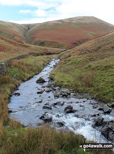
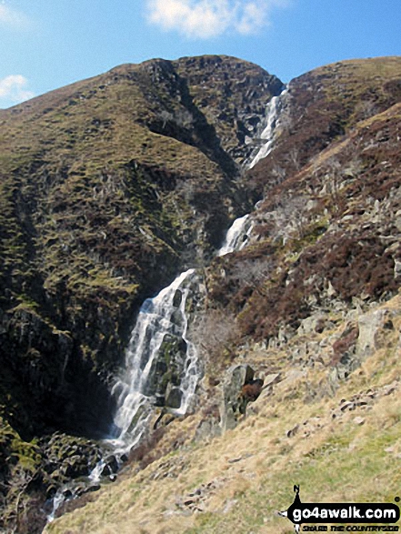
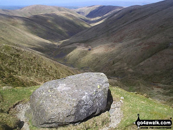
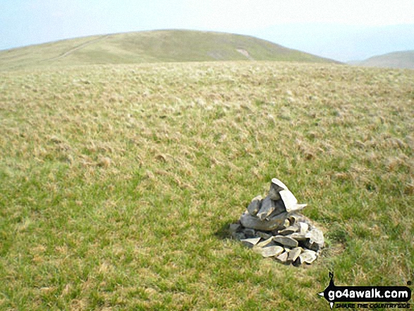
Carlingill Bridge - The Howgills - Carlingill Beck - Carlin Gill - Screes of Black Force - Carlingill Spout - Blakethwaite Bottom - Docker Knott - Great Blea Gill - Simon's Seat (Howgills) - Langdale Beck (Howgills) - Hazelgill Knott - Bowderdale Beck - Bowderdale Head - Cautley Spout - Cautley Crag - Great Dummacks - Little Dummacks - Calders - Bram Rigg Top - The Calf - White Fell Head - Bush Howe - Windscarth Wyke - Breaks Head - Fell Head (Howgills) - Fell Head Scar - Linghaw - Knowles - Back Balk - Gibbet Hill - Carlingill Bridge - The Howgill Fells.
Peaks, Summits and Tops reached on this walk:
 3 English Mountains |
 0 Wainwrights |
 4 English Nuttalls |
 2 English Deweys |
 0 Wainwright Outlying Fells |
 1 Marilyn |
 4 Bridgets |
Peak Bagging Statistics for this walk:
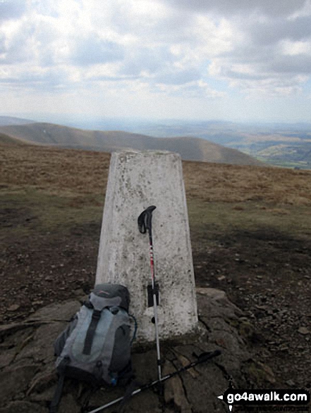
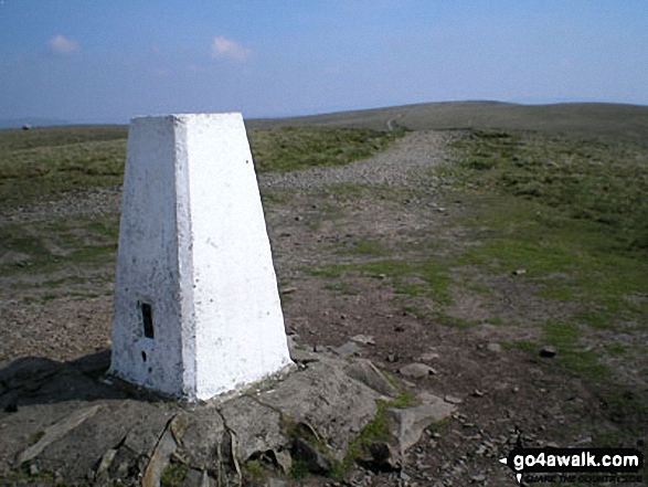
The highest point of this walk is The Calf at 676m (2218ft). The Calf is classified as an English Mountain (Hewitt) (118th highest in England, 201st highest in England & Wales)
The Calf is also known as an English Nuttall (157th highest in England, 268th highest in England & Wales) and an English Marilyn (37th highest in England, 642nd highest in the UK).
The summit of The Calf is marked by an Ordnance Survey Trig Point.
Completing this walk will also take you to the top of Calders at 675m (2216ft). Calders is classified as an English Mountain (Hewitt) (119th highest in England, 202nd highest in England & Wales)
Calders is also known as an English Nuttall (159th highest in England, 270th highest in England & Wales).
You will also reach the summit of Bram Rigg Top at 672m (2205ft). Bram Rigg Top is known as an English Bridget. Bram Rigg Top was demoted from 'Nuttall' status in November 2016. It is now classified as a 'Bridget'.
Along the way you will also bag:
- Great Dummacks at 663m (2175ft). Great Dummacks is known as an English Bridget.
- Fell Head (Howgills) at 640m (2100ft). Fell Head (Howgills) is classified as an English Mountain (Hewitt) (150th England, 257th Eng & Wal) and an English Nuttall (199th highest in England, 347th highest in England & Wales).
- Bush Howe at 623m (2044ft). Bush Howe is known as an English Nuttall (227th highest in England, 393rd highest in England & Wales).
- Simon's Seat (Howgills) at 587m (1926ft). Simon's Seat (Howgills) is classified as an English Dewey (21st highest in England, 54th highest in England & Wales).
- Hazelgill Knott at 578m (1896ft). Hazelgill Knott is classified as an English Dewey (32nd highest in England, 73rd highest in England & Wales).
- Docker Knott at 530m (1739ft). Docker Knott is known as an English Bridget.
- Linghaw at 499m (1637ft). Linghaw is known as an English Bridget.
You can find this walk and other nearby walks on these unique free-to-access Interactive Walk Planning Maps:
1:25,000 scale OS Explorer Map (orange/yellow covers):
1:50,000 scale OS Landranger Maps (pink/magenta covers):
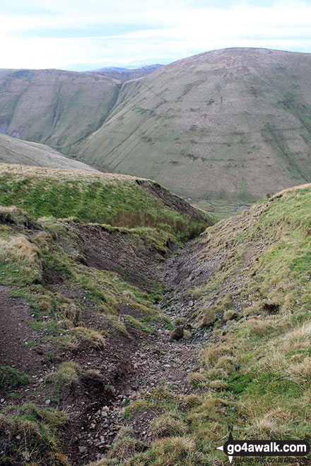
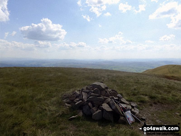
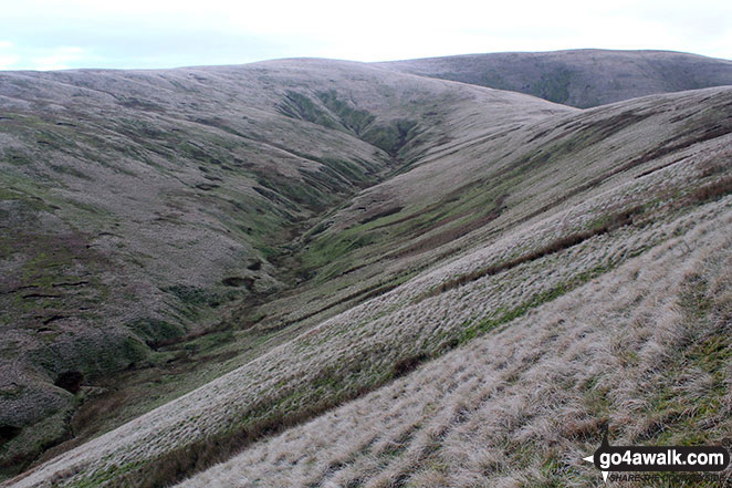
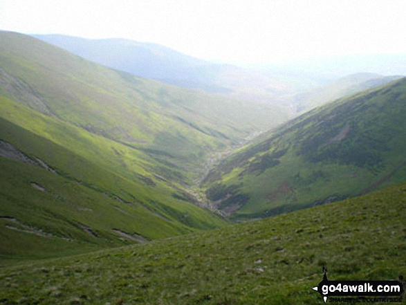
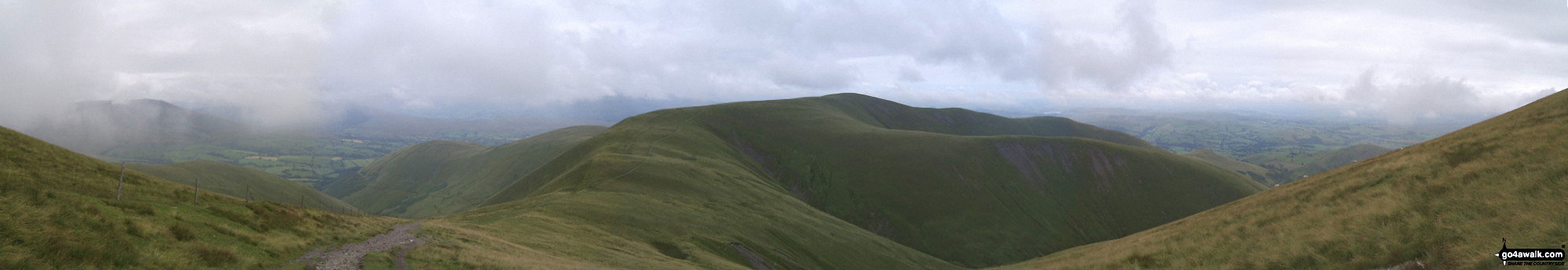
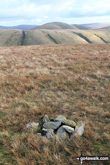
Some Photos and Pictures from Walk c180 The Howgills from Low Carlingill Bridge
In no particular order . . .
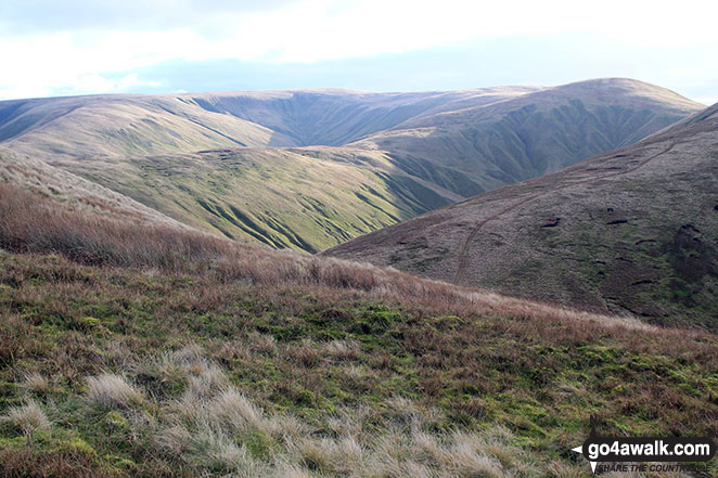
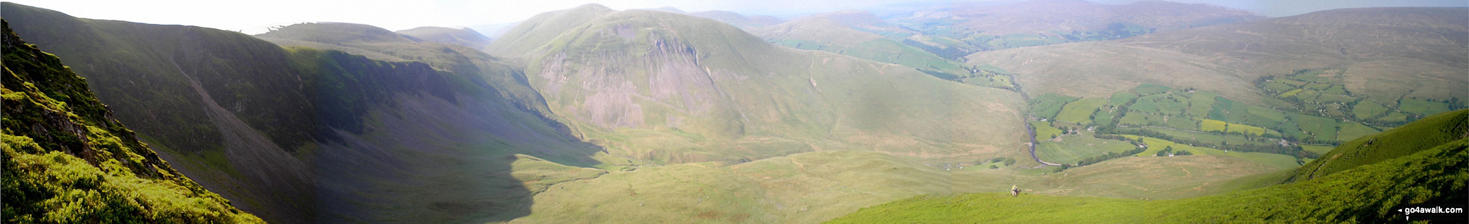
Cautley Crag, Cautley Spout, Yarlside, Cautley Holme Beck, and Cross Keys from Great Dummacks
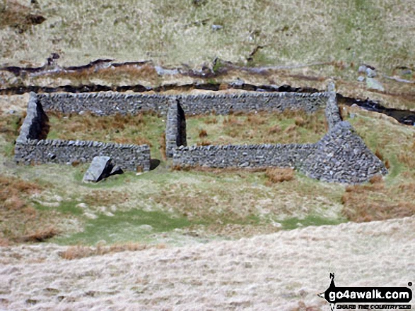
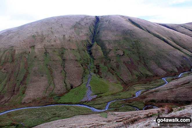
An Andy Goldworthy 'Sheep Pen' in the valley below from the path between Little Dummacks and The Calf
. . . load all 78 walk photos from Walk c180 The Howgills from Low Carlingill Bridge
Send us your photographs and pictures from your walks and hikes
We would love to see your photographs and pictures from walk c180 The Howgills from Low Carlingill Bridge. Send them in to us as email attachments (configured for any computer) along with your name and where the picture was taken to:
and we shall do our best to publish them.
(Guide Resolution = 300dpi. At least = 660 pixels (wide) x 440 pixels (high).)

You can also submit photos from walk c180 The Howgills from Low Carlingill Bridge via our Facebook Page.
NB. Please indicate where each photo was taken.


