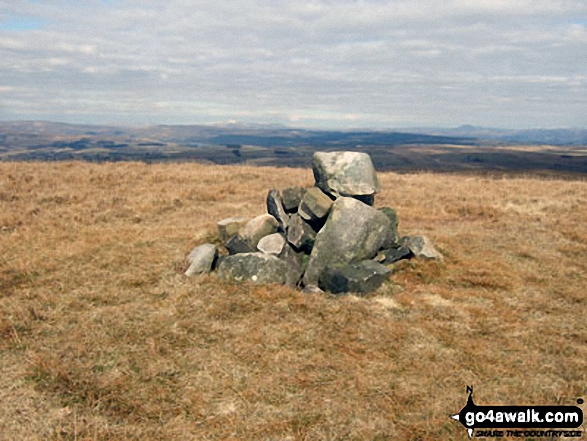
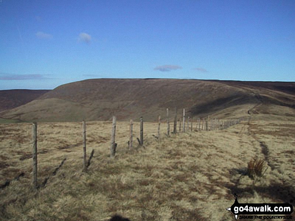
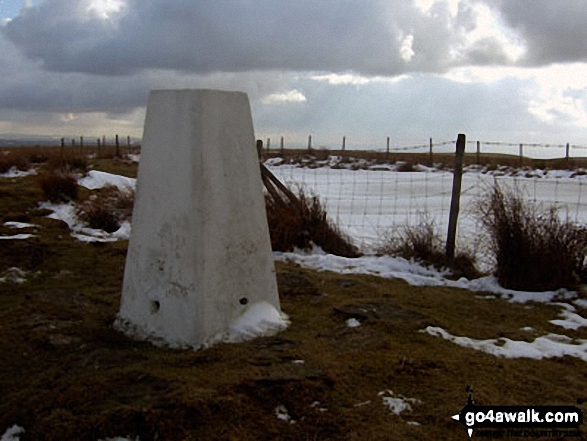
All The Mountains, Peaks, Tops and Hills in the North West region of England as a detailed list
The North West region of England comprises the traditional counties of Cheshire, Cumbria, Greater Manchester, Lancashire and Mersyside and includes The Lake District National Park, The Forest of Bowland and parts of The Yorkshire Dales National Park and the Peak District National Park.
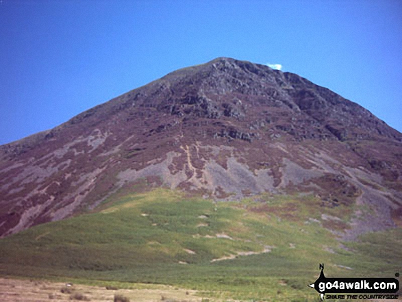
If you count only the Marilyns there are 81 tops to climb, bag & conquer and the highest point is Scafell Pike at 978m (3,210ft).
To see all Mountains, Peaks, Tops and Hills displayed in different ways - see the options in the left-hand column and towards the bottom of this page.
LOG ON and RELOAD this page to show which Mountains, Peaks, Tops and Hills you have already climbed, bagged & conquered [. . . more]
Page 1 of 3 Go to page:
1 2 3 |
See this list in: Alphabetical Order‡
| Height Order
To reverse the order select the link again.
Mountain, Peak, Top or Hill:
Bagged
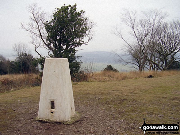
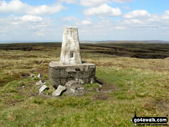
1. Arnside Knott
159m (522ft)
Marilyn (175th in England, 1554th in GB)
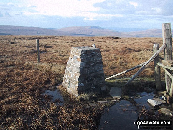
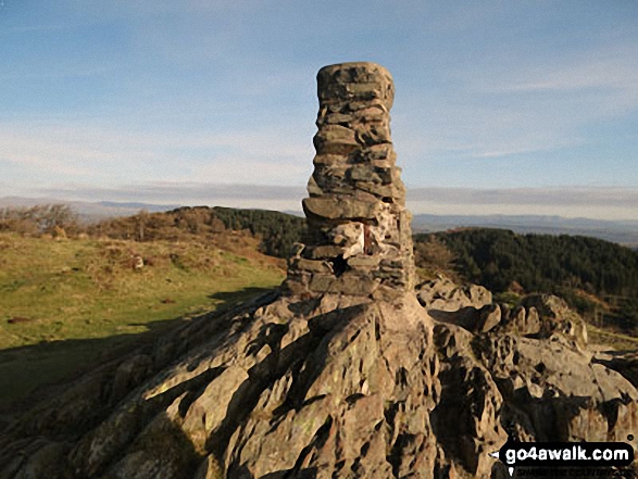
OS Trig Point
To walk, climb & bag Arnside Knott use this easy to follow walk:
See the location of Arnside Knott and walks up it on a google MapArnside Knott is on interactive maps:
OS Explorer (Orange Covers): OL7
OS Landranger (Pink Covers): 97
Arnside Knott is on Peak Bagging Map and Hill Tick List:
|
2. Aye Gill Pike
556m (1,824ft)
Dewey (60th in England, 139th in England & Wales)
Marilyn (61st in England, 856th in GB)
OS Trig Point
To walk, climb & bag Aye Gill Pike use either of these easy to follow walks:
See the location of Aye Gill Pike and walks up it on a google MapAye Gill Pike is on interactive maps:
OS Explorer (Orange Covers): OL2
OS Landranger (Pink Covers): 98
Aye Gill Pike is on Peak Bagging Map and Hill Tick List:
|
3. Baugh Fell (Tarn Rigg Hill)
678m (2,225ft)
Mountain (116th in England, 196th in England & Wales)
Nuttall (154th in England, 262nd in England & Wales)
Marilyn (36th in England, 630th in GB)
To walk, climb & bag Baugh Fell (Tarn Rigg Hill) use this easy to follow walk:
See the location of Baugh Fell (Tarn Rigg Hill) and walks up it on a google MapBaugh Fell (Tarn Rigg Hill) is on interactive maps:
OS Explorer (Orange Covers): OL19
OS Landranger (Pink Covers): 98
Baugh Fell (Tarn Rigg Hill) is on Peak Bagging Map and Hill Tick List:
|
4. Billinge Hill
179m (587ft)
Marilyn (172nd in England, 1540th in GB)
OS Trig Point
Billinge Hill is the highest point in the county of Merseyside.
To walk, climb & bag Billinge Hill use this easy to follow walk:
See the location of Billinge Hill and walks up it on a google MapBillinge Hill is on interactive maps:
OS Explorer (Orange Covers): 285
OS Landranger (Pink Covers): 108
Billinge Hill is on Peak Bagging Map and Hill Tick List:
|
5. Binsey
447m (1,467ft)
Wainwright (No. 192)
Marilyn (89th in England, 1113th in GB)
OS Trig Point
To walk, climb & bag Binsey use either of these easy to follow walks:
See the location of Binsey and walks up it on a google MapBinsey is on interactive maps:
OS Explorer (Orange Covers): OL4
OS Landranger (Pink Covers): 89 and
90
Binsey is on Peak Bagging Map and Hill Tick List:
*Version including the walk routes marked on it that you need to follow to Walk all 214 Wainwrights in just 59 walks. |
6. Black Combe
600m (1,969ft)
Dewey (12th in England, 25th in England & Wales)
Wainwright Outlying Fell (No. 2)
Marilyn (54th in England, 769th in GB)
OS Trig Point
A rare location in the United Kingdom where, on a clear day, you can see five countries - England, Scotland, Wales, Northern Ireland & Southern Ireland and the self-governing British Crown dependency, The Isle of Man.
William Wordsworth claimed that the summit of Black Combe offered "the amplest range of unobstructed prospect may be seen that British ground commands."
To walk, climb & bag Black Combe use either of these easy to follow walks:
See the location of Black Combe and walks up it on a google MapBlack Combe is on interactive maps:
OS Explorer (Orange Covers): OL6
OS Landranger (Pink Covers): 96
A go4awalk.com Peak Bagging Map and Hill Tick List featuring Black Combe will be available soon. |
7. Blake Fell
573m (1,881ft)
Wainwright (No. 139)
Dewey (37th in England, 82nd in England & Wales)
Marilyn (56th in England, 810th in GB)
OS Trig Point
To walk, climb & bag Blake Fell use any of these easy to follow walks:
See the location of Blake Fell and walks up it on a google MapBlake Fell is on interactive maps:
OS Explorer (Orange Covers): OL4
OS Landranger (Pink Covers): 89
Blake Fell is on Peak Bagging Map and Hill Tick List:
*Version including the walk routes marked on it that you need to follow to Walk all 214 Wainwrights in just 59 walks. |
8. Blencathra or Saddleback (Hallsfell Top)
868m (2,849ft)
Wainwright (No. 14)
Mountain (16th in England, 38th in England & Wales)
Nuttall (19th in England, 44th in England & Wales)
Marilyn (8th in England, 285th in GB)
OS Trig Point
To walk, climb & bag Blencathra or Saddleback (Hallsfell Top) use any of these easy to follow walks:
See the location of Blencathra or Saddleback (Hallsfell Top) and walks up it on a google MapBlencathra or Saddleback (Hallsfell Top) is on interactive maps:
OS Explorer (Orange Covers): OL5
OS Landranger (Pink Covers): 90
Blencathra or Saddleback (Hallsfell Top) is on Peak Bagging Map and Hill Tick List:
*Version including the walk routes marked on it that you need to follow to Walk all 214 Wainwrights in just 59 walks. |
9. Burnhope Seat
747m (2,452ft)
Mountain (70th in England, 123rd in England & Wales)
Nuttall (86th in England, 150th in England & Wales)
Marilyn (22nd in England, 487th in GB)
OS Trig Point
We hope to have walks that climb & bag Burnhope Seat very soon
See the location of Burnhope Seat and walks up it on a google MapBurnhope Seat is on interactive maps:
OS Explorer (Orange Covers): OL31
OS Landranger (Pink Covers): 91
Burnhope Seat is on Peak Bagging Map and Hill Tick List:
|
10. Calf Top
609m (2,000ft)
Mountain (180th in England, 317th in England & Wales)
Nuttall (253rd in England, 441st in England & Wales)
Marilyn (51st in England, 752nd in GB)
OS Trig Point
Calf Top was reclassified from a 'Dewey' to a Mountain (Hewitt) and 'Nuttall' in September 2016. Formerly thought to be fractionally under the 609.6m (2000ft) required for mountain status, the Ordnance Survey recalculated the height of the mountain using the OSTN15/OSGM15 transformation to a height of 609.606m (2000ft and 1/4 inch).
To walk, climb & bag Calf Top use this easy to follow walk:
See the location of Calf Top and walks up it on a google MapCalf Top is on interactive maps:
OS Explorer (Orange Covers): OL2
OS Landranger (Pink Covers): 98
Calf Top is on Peak Bagging Map and Hill Tick List:
|
11. Claife Heights (High Blind How)
270m (886ft)
Wainwright Outlying Fell (No. 83)
Marilyn (147th in England, 1433rd in GB)
OS Trig Point
To walk, climb & bag Claife Heights (High Blind How) use this easy to follow walk:
See the location of Claife Heights (High Blind How) and walks up it on a google MapClaife Heights (High Blind How) is on interactive maps:
OS Explorer (Orange Covers): OL7
OS Landranger (Pink Covers): 96 and
97
A go4awalk.com Peak Bagging Map and Hill Tick List featuring Claife Heights (High Blind How) will be available soon. |
12. Cold Fell Pike (Geltsdale)
621m (2,038ft)
Mountain (167th in England, 290th in England & Wales)
Nuttall (230th in England, 400th in England & Wales)
Marilyn (48th in England, 725th in GB)
OS Trig Point
To walk, climb & bag Cold Fell Pike (Geltsdale) use either of these easy to follow walks:
See the location of Cold Fell Pike (Geltsdale) and walks up it on a google MapCold Fell Pike (Geltsdale) is on interactive maps:
OS Explorer (Orange Covers): OL31
OS Landranger (Pink Covers): 86
Cold Fell Pike (Geltsdale) is on Peak Bagging Map and Hill Tick List:
|
13. Cross Fell
893m (2,931ft)
Mountain (10th in England, 28th in England & Wales)
Nuttall (12th in England, 30th in England & Wales)
Marilyn (5th in England, 248th in GB)
OS Trig Point
To walk, climb & bag Cross Fell use either of these easy to follow walks:
See the location of Cross Fell and walks up it on a google MapCross Fell is on interactive maps:
OS Explorer (Orange Covers): OL31
OS Landranger (Pink Covers): 91
Cross Fell is on Peak Bagging Map and Hill Tick List:
|
14. Dale Head (Newlands)
753m (2,471ft)
Wainwright (No. 63)
Mountain (68th in England, 117th in England & Wales)
Nuttall (84th in England, 144th in England & Wales)
Marilyn (21st in England, 477th in GB)
To walk, climb & bag Dale Head (Newlands) use any of these easy to follow walks:
See the location of Dale Head (Newlands) and walks up it on a google MapDale Head (Newlands) is on interactive maps:
OS Explorer (Orange Covers): OL4
OS Landranger (Pink Covers): 89 and
90
Dale Head (Newlands) is on Peak Bagging Map and Hill Tick List:
*Version including the walk routes marked on it that you need to follow to Walk all 214 Wainwrights in just 59 walks. |
15. Dent (Long Barrow)
352m (1,155ft)
Wainwright Outlying Fell (No. 59)
Marilyn (108th in England, 1297th in GB)
To walk, climb & bag Dent (Long Barrow) use this easy to follow walk:
See the location of Dent (Long Barrow) and walks up it on a google MapDent (Long Barrow) is on interactive maps:
OS Explorer (Orange Covers): OL4
OS Landranger (Pink Covers): 89
Dent (Long Barrow) is on Peak Bagging Map and Hill Tick List:
*Version including the walk routes marked on it that you need to follow to Walk all 214 Wainwrights in just 59 walks. |
16. Dufton Pike
481m (1,579ft)
Marilyn (81st in England, 1025th in GB)
To walk, climb & bag Dufton Pike use either of these easy to follow walks:
See the location of Dufton Pike and walks up it on a google MapDufton Pike is on interactive maps:
OS Explorer (Orange Covers): OL19
OS Landranger (Pink Covers): 91
Dufton Pike is on Peak Bagging Map and Hill Tick List:
|
17. Easington Fell
396m (1,300ft)
Marilyn (98th in England, 1213th in GB)
To walk, climb & bag Easington Fell use this easy to follow walk:
See the location of Easington Fell and walks up it on a google MapEasington Fell is on interactive maps:
OS Explorer (Orange Covers): OL41
OS Landranger (Pink Covers): 103
Easington Fell is on Peak Bagging Map and Hill Tick List:
|
18. Fair Snape Fell
520m (1,706ft)
Dewey (138th in England, 317th in England & Wales)
Marilyn (70th in England, 937th in GB)
To walk, climb & bag Fair Snape Fell use any of these easy to follow walks:
See the location of Fair Snape Fell and walks up it on a google MapFair Snape Fell is on interactive maps:
OS Explorer (Orange Covers): OL41
OS Landranger (Pink Covers): 102
Fair Snape Fell is on Peak Bagging Map and Hill Tick List:
|
19. Fairfield
873m (2,865ft)
Wainwright (No. 13)
Mountain (15th in England, 35th in England & Wales)
Nuttall (18th in England, 40th in England & Wales)
Marilyn (7th in England, 280th in GB)
To walk, climb & bag Fairfield use any of these easy to follow walks:
See the location of Fairfield and walks up it on a google MapFairfield is on interactive maps:
OS Explorer (Orange Covers): OL5
OS Landranger (Pink Covers): 90
Fairfield is on Peak Bagging Map and Hill Tick List:
*Version including the walk routes marked on it that you need to follow to Walk all 214 Wainwrights in just 59 walks. |
20. Freeholds Top
455m (1,493ft)
Marilyn (86th in England, 1095th in GB)
OS Trig Point
We hope to have walks that climb & bag Freeholds Top very soon
See the location of Freeholds Top and walks up it on a google MapFreeholds Top is on interactive maps:
OS Explorer (Orange Covers): OL21
OS Landranger (Pink Covers): 103
Freeholds Top is on Peak Bagging Map and Hill Tick List:
|
21. Grasmoor
851m (2,794ft)
Wainwright (No. 20)
Mountain (23rd in England, 47th in England & Wales)
Nuttall (28th in England, 55th in England & Wales)
Marilyn (9th in England, 313th in GB)
To walk, climb & bag Grasmoor use any of these easy to follow walks:
See the location of Grasmoor and walks up it on a google MapGrasmoor is on interactive maps:
OS Explorer (Orange Covers): OL4
OS Landranger (Pink Covers): 89 and
90
Grasmoor is on Peak Bagging Map and Hill Tick List:
*Version including the walk routes marked on it that you need to follow to Walk all 214 Wainwrights in just 59 walks. |
22. Grayrigg Forest
494m (1,621ft)
Marilyn (80th in England, 994th in GB)
OS Trig Point
To walk, climb & bag Grayrigg Forest use this easy to follow walk:
See the location of Grayrigg Forest and walks up it on a google MapGrayrigg Forest is on interactive maps:
OS Explorer (Orange Covers): OL7
OS Landranger (Pink Covers): 97
A go4awalk.com Peak Bagging Map and Hill Tick List featuring Grayrigg Forest will be available soon. |
23. Great Coum
687m (2,254ft)
Mountain (111th in England, 187th in England & Wales)
Nuttall (146th in England, 245th in England & Wales)
Marilyn (35th in England, 619th in GB)
To walk, climb & bag Great Coum use this easy to follow walk:
See the location of Great Coum and walks up it on a google MapGreat Coum is on interactive maps:
OS Explorer (Orange Covers): OL2
OS Landranger (Pink Covers): 98
Great Coum is on Peak Bagging Map and Hill Tick List:
|
24. Great Gable
899m (2,951ft)
Wainwright (No. 7)
Mountain (9th in England, 25th in England & Wales)
Nuttall (11th in England, 28th in England & Wales)
Marilyn (4th in England, 238th in GB)
To walk, climb & bag Great Gable use any of these easy to follow walks:
See the location of Great Gable and walks up it on a google MapGreat Gable is on interactive maps:
OS Explorer (Orange Covers): OL4
OS Landranger (Pink Covers): 89 and
90
Great Gable is on Peak Bagging Map and Hill Tick List:
*Version including the walk routes marked on it that you need to follow to Walk all 214 Wainwrights in just 59 walks. |
25. Great Knoutberry Hill (Widdale Fell)
672m (2,205ft)
Mountain (124th in England, 209th in England & Wales)
Nuttall (166th in England, 280th in England & Wales)
Marilyn (38th in England, 647th in GB)
OS Trig Point
To walk, climb & bag Great Knoutberry Hill (Widdale Fell) use any of these easy to follow walks:
See the location of Great Knoutberry Hill (Widdale Fell) and walks up it on a google MapGreat Knoutberry Hill (Widdale Fell) is on interactive maps:
OS Explorer (Orange Covers): OL2
OS Landranger (Pink Covers): 98
Great Knoutberry Hill (Widdale Fell) is on Peak Bagging Map and Hill Tick List:
|
26. Great Mell Fell
537m (1,762ft)
Wainwright (No. 154)
Dewey (98th in England, 229th in England & Wales)
Marilyn (67th in England, 901st in GB)
OS Trig Point
To walk, climb & bag Great Mell Fell use either of these easy to follow walks:
See the location of Great Mell Fell and walks up it on a google MapGreat Mell Fell is on interactive maps:
OS Explorer (Orange Covers): OL5
OS Landranger (Pink Covers): 90
Great Mell Fell is on Peak Bagging Map and Hill Tick List:
*Version including the walk routes marked on it that you need to follow to Walk all 214 Wainwrights in just 59 walks. |
27. Grisedale Pike
791m (2,596ft)
Wainwright (No. 40)
Mountain (48th in England, 87th in England & Wales)
Nuttall (57th in England, 106th in England & Wales)
Marilyn (16th in England, 410th in GB)
OS Trig Point
To walk, climb & bag Grisedale Pike use any of these easy to follow walks:
See the location of Grisedale Pike and walks up it on a google MapGrisedale Pike is on interactive maps:
OS Explorer (Orange Covers): OL4
OS Landranger (Pink Covers): 89 and
90
Grisedale Pike is on Peak Bagging Map and Hill Tick List:
*Version including the walk routes marked on it that you need to follow to Walk all 214 Wainwrights in just 59 walks. |
28. Gummer's How
321m (1,054ft)
Wainwright Outlying Fell (No. 67)
Marilyn (122nd in England, 1344th in GB)
OS Trig Point
We hope to have walks that climb & bag Gummer's How very soon
See the location of Gummer's How and walks up it on a google MapGummer's How is on interactive maps:
OS Explorer (Orange Covers): OL7
OS Landranger (Pink Covers): 96 and
97
A go4awalk.com Peak Bagging Map and Hill Tick List featuring Gummer's How will be available soon. |
29. Hail Storm Hill
477m (1,566ft)
Marilyn (82nd in England, 1035th in GB)
To walk, climb & bag Hail Storm Hill use any of these easy to follow walks:
See the location of Hail Storm Hill and walks up it on a google MapHail Storm Hill is on interactive maps:
OS Explorer (Orange Covers): OL21
OS Landranger (Pink Covers): 109
Hail Storm Hill is on Peak Bagging Map and Hill Tick List:
|
30. Hallin Fell
388m (1,273ft)
Wainwright (No. 203)
Marilyn (100th in England, 1228th in GB)
To walk, climb & bag Hallin Fell use this easy to follow walk:
See the location of Hallin Fell and walks up it on a google MapHallin Fell is on interactive maps:
OS Explorer (Orange Covers): OL5
OS Landranger (Pink Covers): 90
Hallin Fell is on Peak Bagging Map and Hill Tick List:
*Version including the walk routes marked on it that you need to follow to Walk all 214 Wainwrights in just 59 walks. |
Page 1 of 3 Go to page:
1 2 3 |
View all 610 Mountains, Peaks, Tops and Hills in North WestThe Lake District:
Is there a Mountain, Peak, Top or Hill missing from the above google map or list?
Let us know an we will add it to our database.

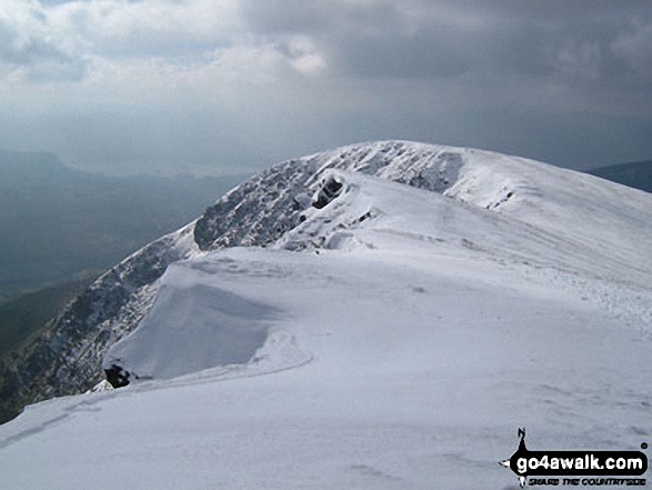
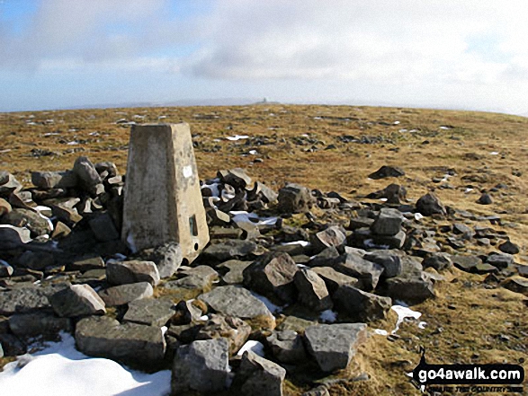
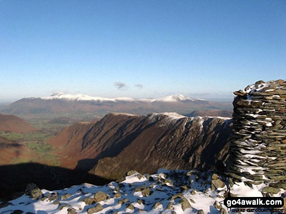
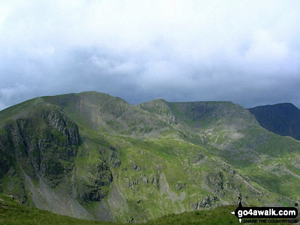
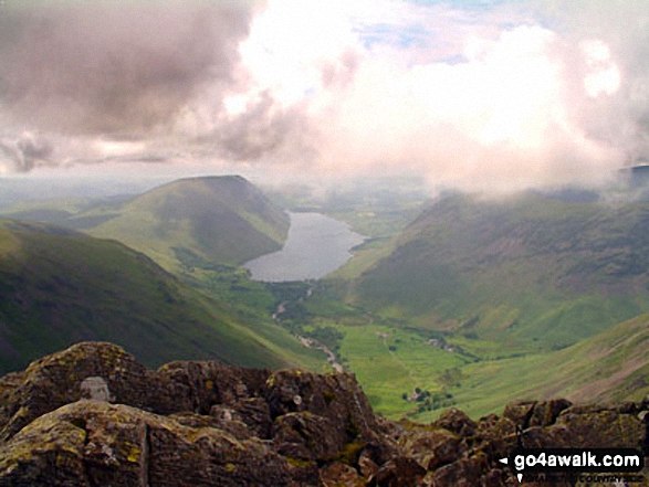
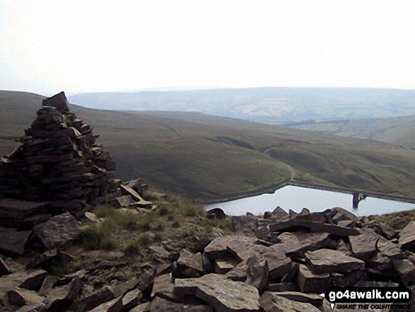
 The view from Scafell Pike in The Far Eastern Fells area of The Lake District
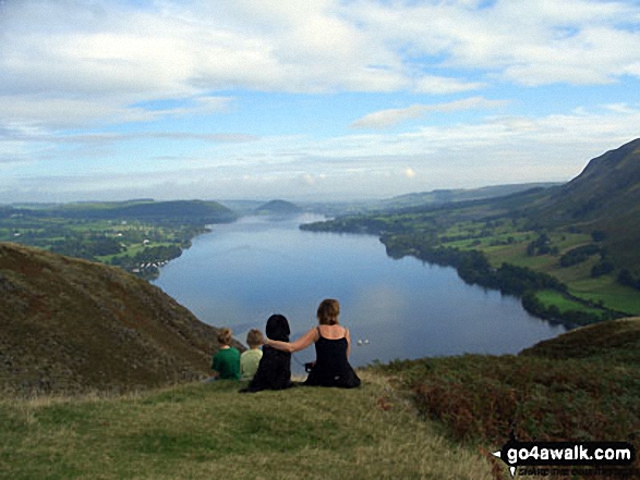


