
![]()
Grayrigg Forest
494m (1621ft)
The Far Eastern Marches, The Lake District, Cumbria, England
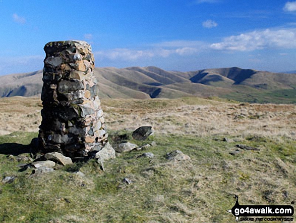
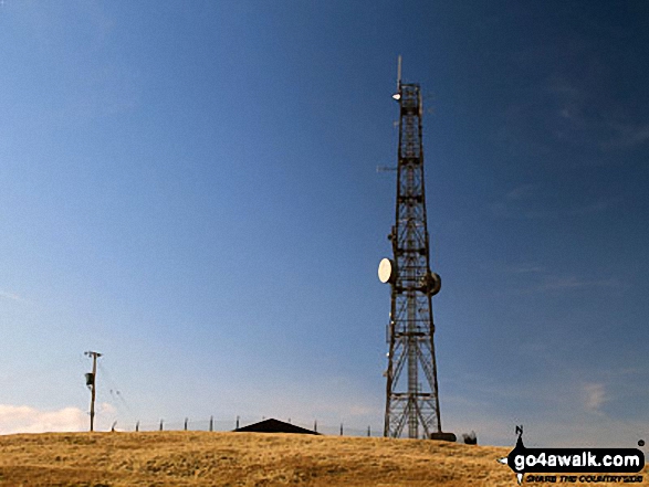
The summit of Grayrigg Forest is marked by an Ordnance Survey Trig Point.
Not familiar with this top?
   |
|---|
Vital Statistics:
| Length: | 4.5mls (7km) |
|---|---|
| Ascent: | 1,214ft (370m) |
| Time: | 3 hrs |
| Grade: |  (Moderate) (Moderate) |
Route Summary:
Hause Bridge Parking Area - Grayrigg Pike - Grayrigg Forest - Repeater Station - Borrowdale Wood - Hause Bridge Parking Area
See Grayrigg Forest and the surrounding tops on our free-to-access 'Google Style' Peak Bagging Maps:
The Far Eastern Marches area of The Lake District National Park
Less data - quicker to download
The Whole of The Lake District National Park
More data - might take a little longer to download
A go4awalk.com downloadable Peak Bagging Map in PDF format featuring Grayrigg Forest should be available soon.
You can find Grayrigg Forest & all the walks that climb it on these unique free-to-access Interactive Walk Planning Maps:
1:25,000 scale OS Explorer Map (orange/yellow covers):
1:50,000 scale OS Landranger Map (pink/magenta covers):
 Fellow go4awalkers who have already walked, climbed, summited & bagged Grayrigg Forest
Stephanie Doyle walked up Grayrigg Forest on April 19th, 2022 [weather] Ok
Adrian Howard climbed Grayrigg Forest on February 23rd, 2012 [from/via/route] Borrowdale Wood
Mike Walker has bagged Grayrigg Forest [with] Alone
Christine Shepherd hiked Grayrigg Forest on June 27th, 2019 [from/via/route] Walked from Hause Bridge using walk c384 [with] On my own [weather] Beautiful. - The initial climb up Grayrigg Pike seemed steeper than it looked from the layby. However, it might just have been my legs objecting to climbing again only 5 days after The 10 in 10 challenge.
Mark Davidson summited Grayrigg Forest on March 10th, 2014 [with] Alone [weather] Bright, sunny, spring day with lots of sunshine - Views of the Howgill Fells really are fantastic & down to the M6
To add (or remove) your name and experiences on this page - Log On and edit your Personal Mountain Bagging Record
More Photographs & Pictures of views from, on or of Grayrigg Forest
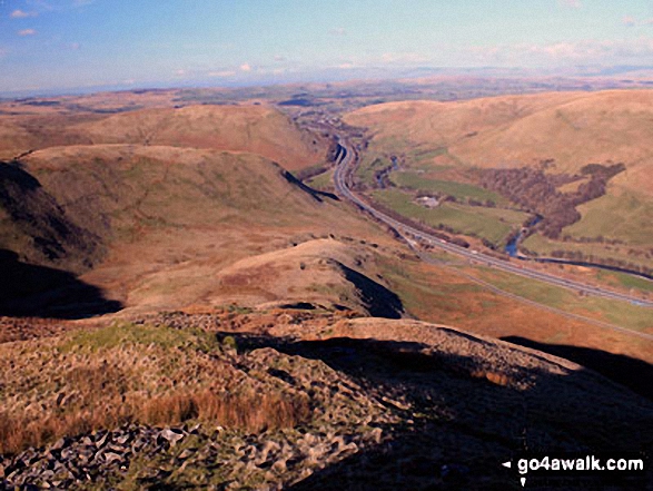
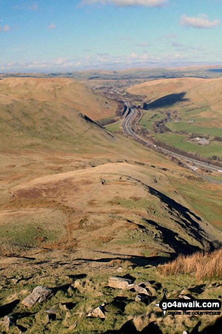
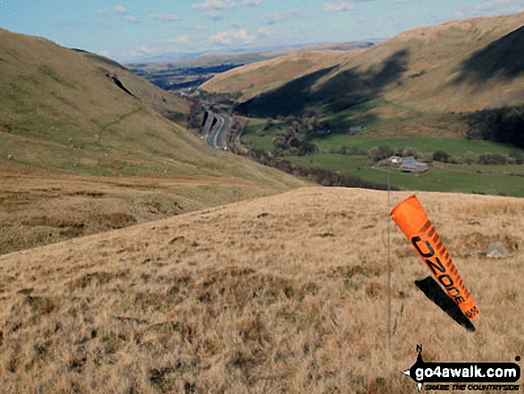
Jeffery's Mount and The M6 Motorway (right) from the lower slopes of Grayrigg Forest
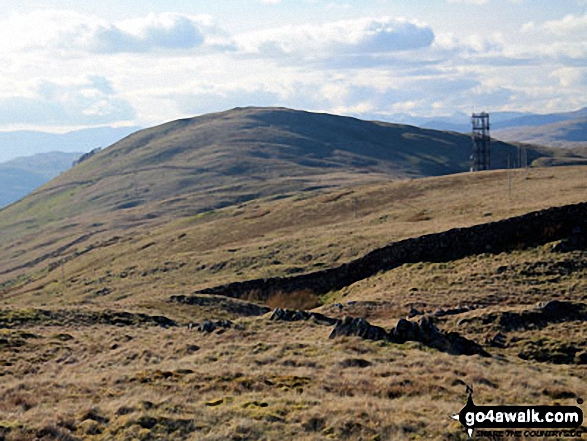
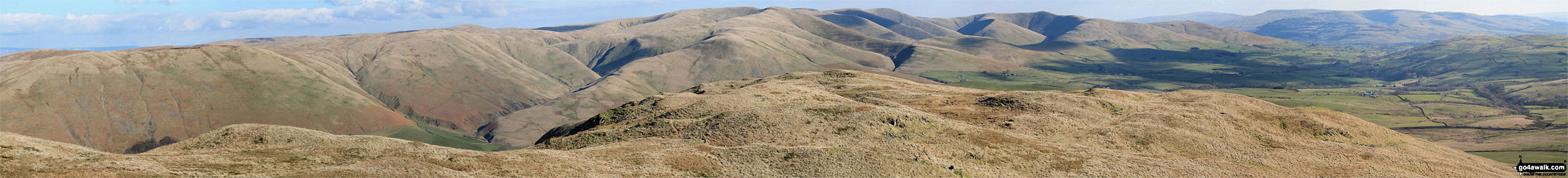
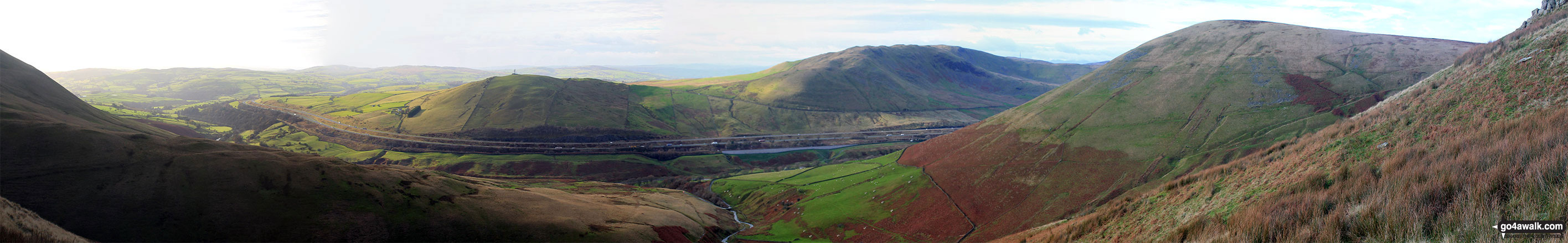
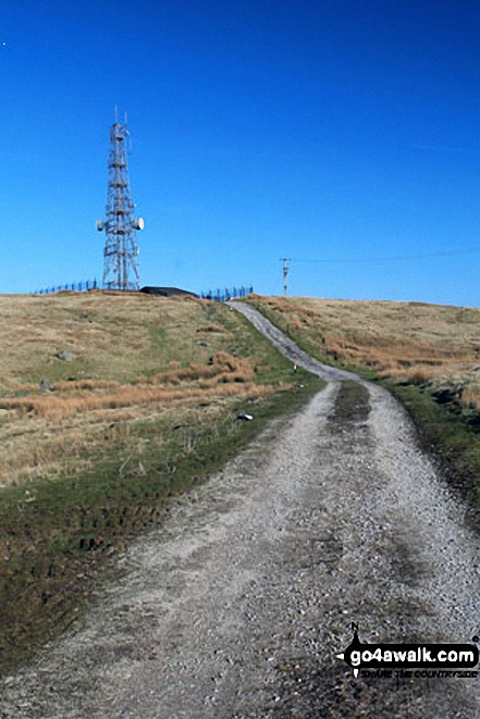
Whinash, Winterscleugh, Roundthwaite Common, Belt Howe, Birk Knott, Casterfell Hill and Jeffrey's Mount from The Repeater Station on Grayrigg Forest
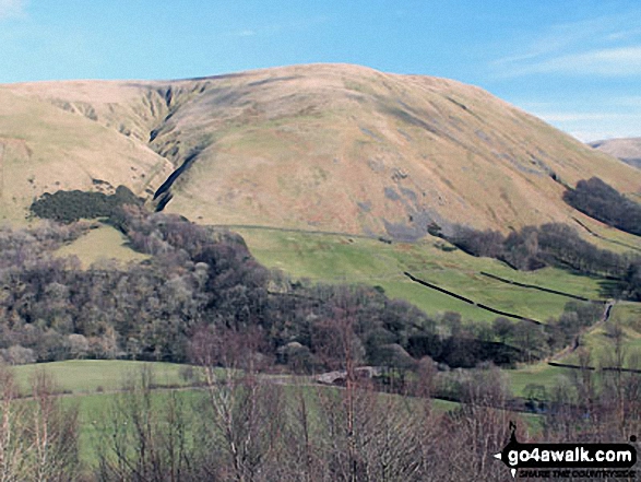
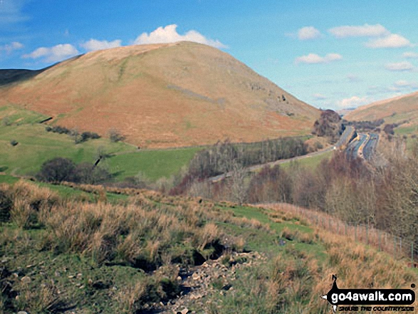
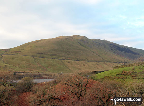
Cleugh Gill (left) and Blease Fell from the lower slopes of Grayrigg Forest
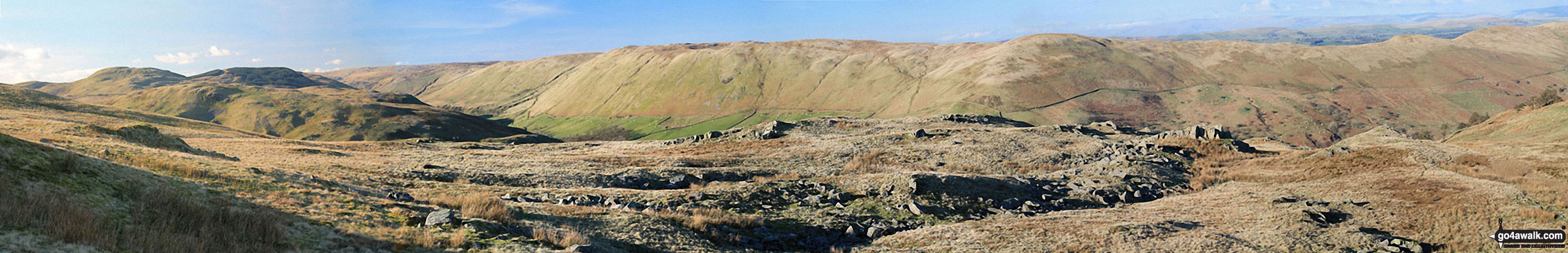
Blease Fell and The Howgill Fells 2000ft'ers - Randygill Top, The Calf, Calders and Fell Head (Howgills) - from Grayrigg Pike (Grayrigg Forest) summit
The M6 Motorway, Dillicar Common, Grayrigg Forest and Blease Fell from the upper slopes of Uldale Head
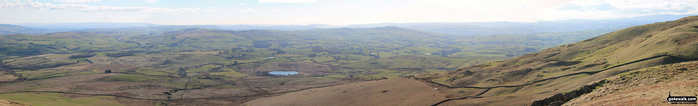
The view south-east and west from the summit of Grayrigg Pike (Grayrigg Forest)
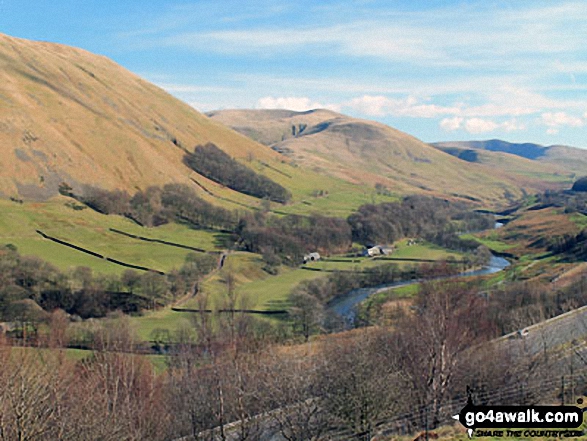
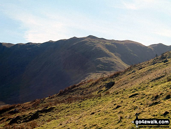
Blease Fell (left), Fell Head (Howgills) and The Calf (right) above Low Carlingill from the lower slopes of Grayrigg Forest
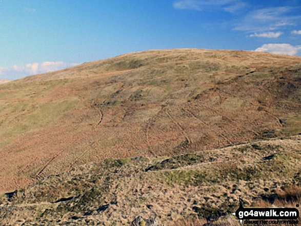
Great Coum (left), Greyrigg Pike and Little Coum (right) from the lower slopes of Grayrigg Forest
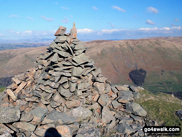
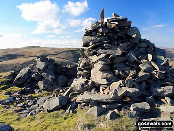
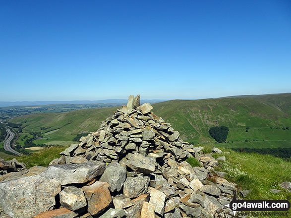
Grayrigg Pike (Grayrigg Forest) summit cairn with Blease Fell in the background
. . . see all 31 walk photographs & pictures of views from, on or of Grayrigg Forest
Send us your photographs and pictures on, of, or from Grayrigg Forest
If you would like to add your walk photographs and pictures featuring views from, on or of Grayrigg Forest to this page, please send them as email attachments (configured for any computer) along with your name to:
and we shall do our best to publish them.
(Guide Resolution = 300dpi. At least = 660pixels (wide) x 440 pixels (high).)

You can also submit photos via our Facebook Page.
NB. Please indicate where each photo was taken and whether you wish us to credit your photos with a Username or your First Name/Last Name.
Not familiar with this top?


