![]()
Freeholds Top
455m (1493ft)
The South Pennines and The Forest of Bowland, Lancashire, England
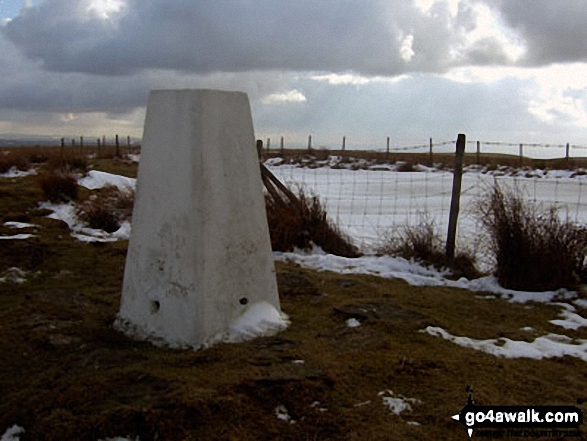
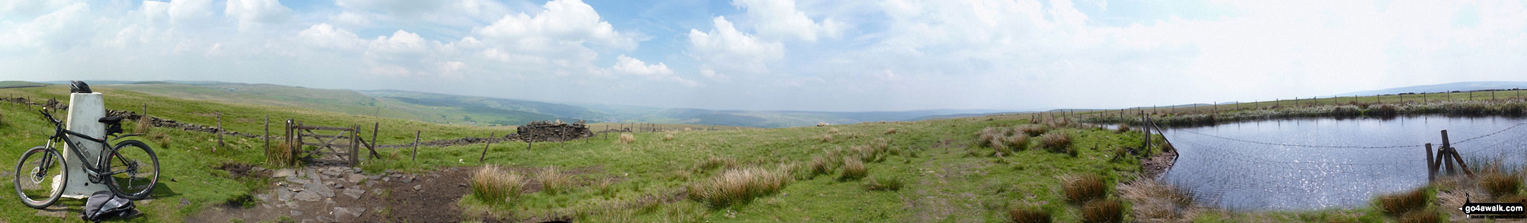
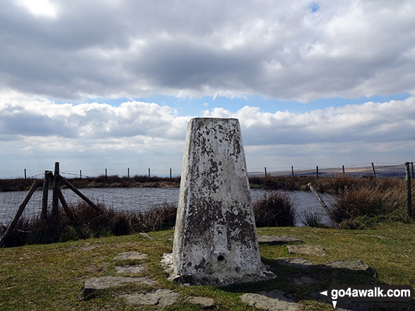
The summit of Freeholds Top is marked by an Ordnance Survey Trig Point.
Not familiar with this top?
   |
|---|
Vital Statistics:
| Length: | 8.5mls (13.5km) |
|---|---|
| Ascent: | 1,549ft (472m) |
| Time: | 4.75hrs |
| Grade: |  (Moderate) (Moderate) |
Route Summary:
Watergrove Reservoir - Wardle - Ramsden Road - The Pennine Bridleway - Crook Moor - Higher Slack Brook - Rough Hill (Shore Moor) - Freeholds Top - Trough Edge End - The Rossendale Way - Trough Edge - Deacon Pasture - Hades Hill - Hades - Middle Hill (Whitworth) - Brown Wardle Hill - Long Shoot Clough - Watergrove Reservoir - Wardle.
See Freeholds Top and the surrounding tops on our free-to-access 'Google Style' Peak Bagging Map:
The Forest of Bowland and The South Pennines
Less data - quicker to download
See Freeholds Top and the surrounding tops on our downloadable Peak Bagging Map in PDF format:

NB: Whether you print off a copy or download it to your phone, this PDF Peak Baggers' Map might prove incredibly useful when your are up there on the tops and you cannot get a phone signal.
You can find Freeholds Top & all the walks that climb it on these unique free-to-access Interactive Walk Planning Maps:
1:25,000 scale OS Explorer Map (orange/yellow covers):
1:50,000 scale OS Landranger Map (pink/magenta covers):
 Fellow go4awalkers who have already walked, climbed, summited & bagged Freeholds Top
Mark Davidson walked up it on March 1st, 2010 [from/via/route] Car Park a little north of Wardle using walk gm116 Round Hill, Freeholds Top & Brown Wardle Hill from Watergrove Reservior [with] Theresa [weather] Dry & quite nice - Very quiet day on the hills
Christine Shepherd climbed it on April 13th, 2019 [from/via/route] Walked from Watergrove Reservoir [with] On my own [weather] Lovely spring sunshine. Very cold breeze on the summits. - An enjoyable walk with lovely views.
Margaret Richards bagged it on June 20th, 2012 [from/via/route] Rough Hill, Freeholds Top & Brown Wardle Hill from Watergrove Res. (8 ½ miles, grade 5, gm116) [with] Don
To add (or remove) your name and experiences on this page - Log On and edit your Personal Mountain Bagging Record
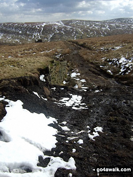
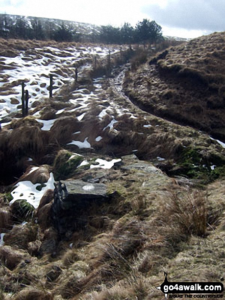
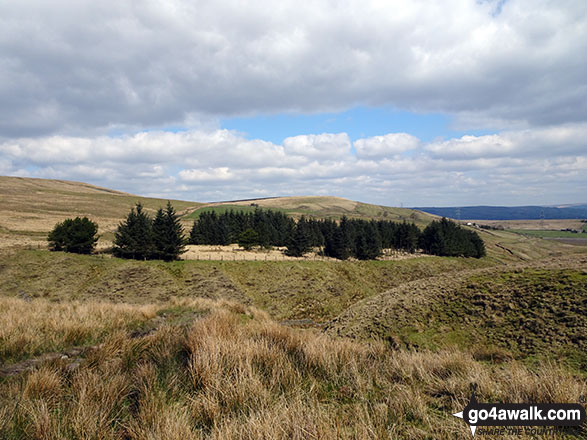
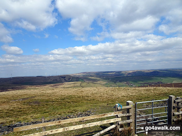
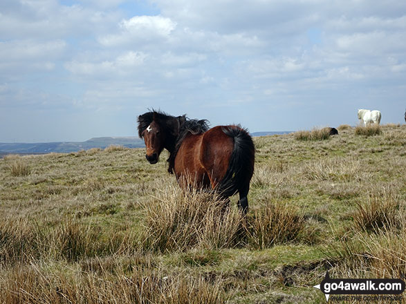
More Photographs & Pictures of views from, on or of Freeholds Top
Send us your photographs and pictures on, of, or from Freeholds Top
If you would like to add your walk photographs and pictures to this page, please send them as email attachments (configured for any computer) along with your name to:
and we shall do our best to publish them.
(Guide Resolution = 300dpi. At least = 660pixels (wide) x 440 pixels (high).)

You can also submit photos via our Facebook Page.
NB. Please indicate where each photo was taken and whether you wish us to credit your photos with a Username or your First Name/Last Name.
Not familiar with this top?