
![]()
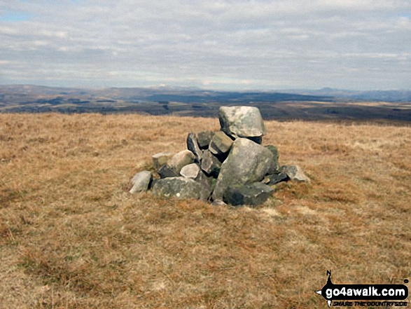
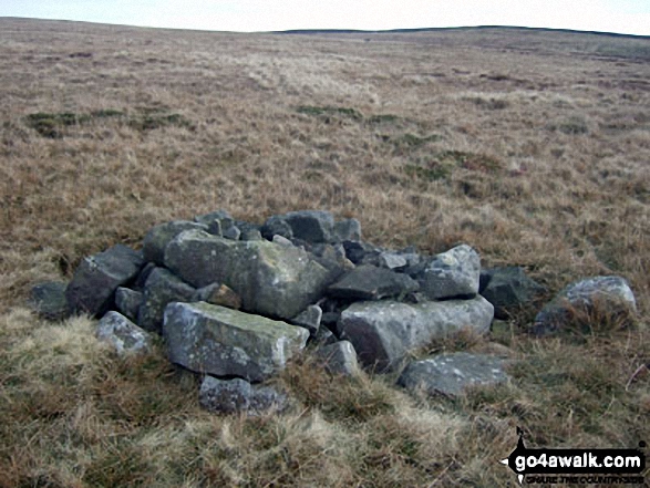
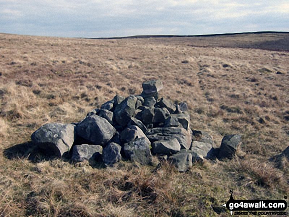
Easington Fell
396m (1300ft)
The South Pennines and The Forest of Bowland, Lancashire, England
Not familiar with this top?
   |
|---|
Vital Statistics:
| Length: | 8mls (12.5km) |
|---|---|
| Ascent: | 1,280ft (390m) |
| Time: | 4.25hrs |
| Grade: |  (Moderate) (Moderate) |
Route Summary:
Slaidburn - King Syke - Broadhead Farm - Easington Brook - Skelshaw Brook - Skelshaw Farm - Fell Side Farm - Harrop Fell - Easington Fell - Old Ned - Old Ned's Wife - Sadler Hill - Smelfthwaite Farm - Meanley Farm - Fowler's Laithe - Newton - River Hodder - Dunnow Hall - Dunnow Lodge - Slaidburn
See Easington Fell and the surrounding tops on our free-to-access 'Google Style' Peak Bagging Map:
The Forest of Bowland and The South Pennines
Less data - quicker to download
See Easington Fell and the surrounding tops on our downloadable Peak Bagging Map in PDF format:

NB: Whether you print off a copy or download it to your phone, this PDF Peak Baggers' Map might prove incredibly useful when your are up there on the tops and you cannot get a phone signal.
You can find Easington Fell & all the walks that climb it on these unique free-to-access Interactive Walk Planning Maps:
1:25,000 scale OS Explorer Map (orange/yellow covers):
1:50,000 scale OS Landranger Map (pink/magenta covers):
 Fellow go4awalkers who have already walked, climbed, summited & bagged Easington Fell
Dave Gay walked up Easington Fell on August 17th, 2019 [from/via/route] Parked by the cattle grid on Tittrington Brow. Followed paths & then followed edge of the wood to Easington Fell. Continued to follow the edge of woods until picking up paths & Shivering Ginnel track to Beacon Hill. Returned via tracks to the south of the woods. [with] Solo
Adrian Howard climbed Easington Fell on July 21st, 2020 [from/via/route] From car park at opposite 'Walloper Well'. Also visiting trig point on Beacon Hill.
Margaret Richards bagged Easington Fell on April 16th, 2013 [from/via/route] Easington Fell & the R. Hodder from Slaidburn (l121, 8miles, grade 5) [with] Don
Syd Barnes hiked Easington Fell on February 2nd, 2014 [from/via/route] Cattle Grid [with] Jo [weather] Bright Sunny Morning
Mark Davidson has walked, climbed & bagged Easington Fell.
To add (or remove) your name and experiences on this page - Log On and edit your Personal Mountain Bagging Record
More Photographs & Pictures of views from, on or of Easington Fell
Send us your photographs and pictures on, of, or from Easington Fell
If you would like to add your walk photographs and pictures featuring views from, on or of Easington Fell to this page, please send them as email attachments (configured for any computer) along with your name to:
and we shall do our best to publish them.
(Guide Resolution = 300dpi. At least = 660pixels (wide) x 440 pixels (high).)

You can also submit photos via our Facebook Page.
NB. Please indicate where each photo was taken and whether you wish us to credit your photos with a Username or your First Name/Last Name.
Not familiar with this top?


