Wales - a fully detailed list of all the Mountains, Peaks, Tops and Hills (Page 3 of 7)
Wales is defined as the whole of the principality of Wales which includes the National Parks of Snowdonia,
Bannau Brycheiniog (The Brecon Beacons) and The Pembrokeshire Coast as well as Mynyddoedd Cambria (The Cambrian Mountains), Radnor Forest, Anglesey, The Llynn Peninsula, The Preseli Mountains and The Gower Peninsula.
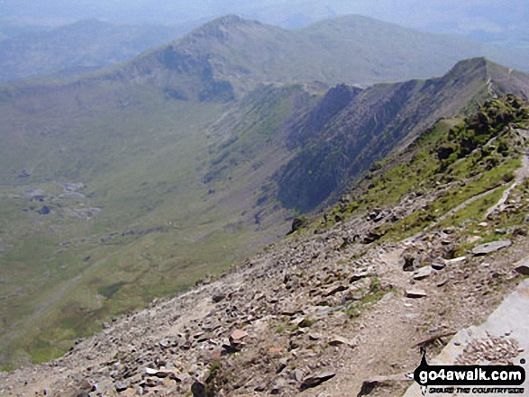
If you count only the Nuttalls there are 188 tops to climb, bag & conquer and the highest point is Snowdon (Yr Wyddfa) at 1,085m (3,561ft).
To see these Mountains, Peaks, Tops and Hills displayed in different ways - see the options in the left-hand column and towards the bottom of this page.
LOG ON and RELOAD this page to show which Mountains, Peaks, Tops and Hills you have already climbed, bagged & conquered [. . . more details]
Page 3 of 7 Go to page:
1 2 3 4 5 6 7 |
See this list in: Alphabetical Order
| Height Order‡
To reverse the order select the link again.
Mountain, Peak, Top or Hill:
Bagged
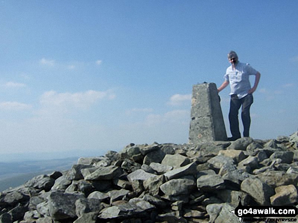
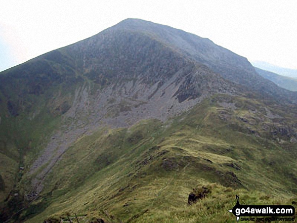
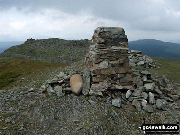
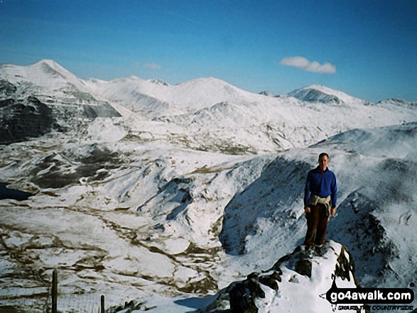
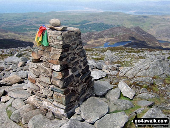
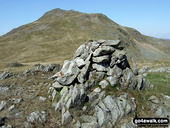
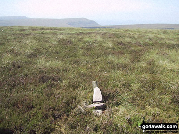
61. Pen Pumlumon Fawr (Plynlimon)
752m (2,468ft)
Mountain (49th in Wales, 118th in England & Wales)
Nuttall (61st in Wales, 145th in England & Wales)
Marilyn (22nd in Wales, 479th in GB)
OS Trig Point
Pen Pumlumon Fawr (Plynlimon) is the highest point in the county of Ceredigion.
To walk, climb & bag Pen Pumlumon Fawr (Plynlimon) use this easy-to-follow walk:
See the location of Pen Pumlumon Fawr (Plynlimon) and walks up it on a google MapPen Pumlumon Fawr (Plynlimon) is on interactive maps:
OS Explorer (Orange Covers): 213
OS Landranger (Pink Covers): 135
A downloadable go4awalk.com PDF Peak Bagging Map featuring Pen Pumlumon Fawr (Plynlimon) will be available soon. |
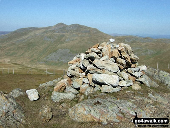
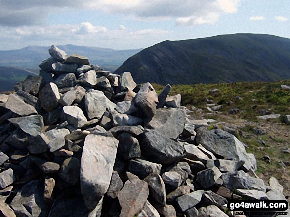
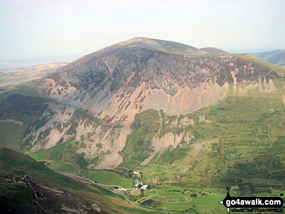
62. Moel Llyfnant
751m (2,465ft)
Mountain (50th in Wales, 119th in England & Wales)
Nuttall (62nd in Wales, 146th in England & Wales)
Marilyn (23rd in Wales, 480th in GB)
To walk, climb & bag Moel Llyfnant use either of these easy-to-follow walks:
See the location of Moel Llyfnant and walks up it on a google MapMoel Llyfnant is on interactive maps:
OS Explorer (Orange Covers): OL18 and
OL23
OS Landranger (Pink Covers): 124 and
125
Moel Llyfnant is on downloadable PDF you can Print or Save to your Phone:
|
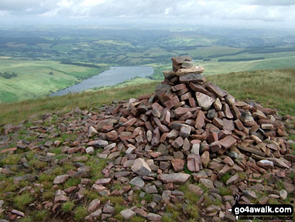
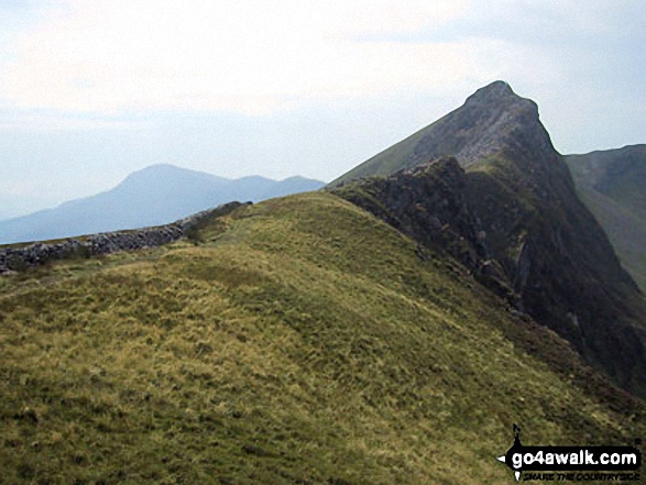
63. Diffwys
750m (2,462ft)
Mountain (51st in Wales, 120th in England & Wales)
Nuttall (63rd in Wales, 147th in England & Wales)
OS Trig Point
To walk, climb & bag Diffwys use this easy-to-follow walk:
See the location of Diffwys and walks up it on a google MapDiffwys is on interactive maps:
OS Explorer (Orange Covers): OL18
OS Landranger (Pink Covers): 124
Diffwys is on downloadable PDF you can Print or Save to your Phone:
|
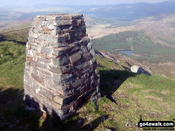
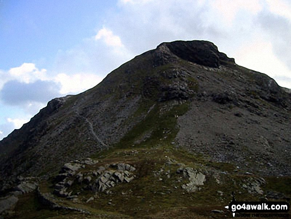
64. Picws Du (Bannau Sir Gaer)
749m (2,458ft)
Mountain (52nd in Wales, 121st in England & Wales)
Nuttall (64th in Wales, 148th in England & Wales)
To walk, climb & bag Picws Du (Bannau Sir Gaer) use any of these easy-to-follow walks:
See the location of Picws Du (Bannau Sir Gaer) and walks up it on a google MapPicws Du (Bannau Sir Gaer) is on interactive maps:
OS Explorer (Orange Covers): OL12
OS Landranger (Pink Covers): 160
Picws Du (Bannau Sir Gaer) is on downloadable PDF you can Print or Save to your Phone:
|
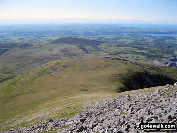
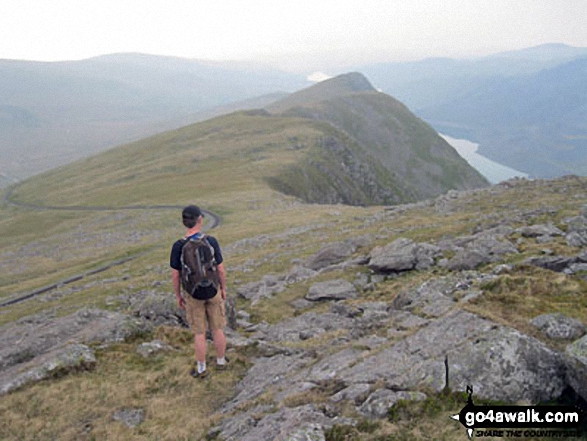
65. Yr Aran
747m (2,452ft)
Mountain (53rd in Wales, 124th in England & Wales)
Nuttall (65th in Wales, 151st in England & Wales)
Marilyn (24th in Wales, 489th in GB)
To walk, climb & bag Yr Aran use either of these easy-to-follow walks:
See the location of Yr Aran and walks up it on a google MapYr Aran is on interactive maps:
OS Explorer (Orange Covers): OL17
OS Landranger (Pink Covers): 115
Yr Aran is on downloadable PDF you can Print or Save to your Phone:
|
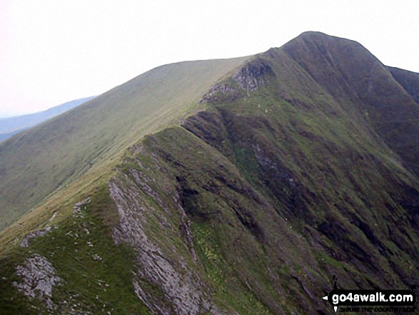
66. Pen Pumlumon Arwystli
741m (2,431ft)
Mountain (54th in Wales, 127th in England & Wales)
Nuttall (66th in Wales, 156th in England & Wales)
To walk, climb & bag Pen Pumlumon Arwystli use this easy-to-follow walk:
See the location of Pen Pumlumon Arwystli and walks up it on a google MapPen Pumlumon Arwystli is on interactive maps:
OS Explorer (Orange Covers): 213
OS Landranger (Pink Covers): 135
A downloadable go4awalk.com PDF Peak Bagging Map featuring Pen Pumlumon Arwystli will be available soon. |
67. Tomle
740m (2,430ft)
Nuttall (67th in Wales, 157th in England & Wales)
To walk, climb & bag Tomle use this easy-to-follow walk:
See the location of Tomle and walks up it on a google MapTomle is on interactive maps:
OS Explorer (Orange Covers): 255
OS Landranger (Pink Covers): 125
Tomle is on downloadable PDF you can Print or Save to your Phone:
|
68. Craig Eigiau
735m (2,412ft)
Nuttall (68th in Wales, 165th in England & Wales)
To walk, climb & bag Craig Eigiau use any of these easy-to-follow walks:
See the location of Craig Eigiau and walks up it on a google MapCraig Eigiau is on interactive maps:
OS Explorer (Orange Covers): OL17
OS Landranger (Pink Covers): 115
Craig Eigiau is on downloadable PDF you can Print or Save to your Phone:
|
69. Craig Cwm Silyn
734m (2,409ft)
Mountain (55th in Wales, 134th in England & Wales)
Nuttall (69th in Wales, 166th in England & Wales)
Marilyn (25th in Wales, 514th in GB)
To walk, climb & bag Craig Cwm Silyn use any of these easy-to-follow walks:
See the location of Craig Cwm Silyn and walks up it on a google MapCraig Cwm Silyn is on interactive maps:
OS Explorer (Orange Covers): OL17
OS Landranger (Pink Covers): 115
Craig Cwm Silyn is on downloadable PDF you can Print or Save to your Phone:
|
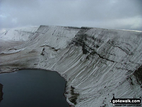
70. Fan Fawr
734m (2,409ft)
Mountain (56th in Wales, 135th in England & Wales)
Nuttall (70th in Wales, 167th in England & Wales)
Marilyn (26th in Wales, 517th in GB)
OS Trig Point
To walk, climb & bag Fan Fawr use either of these easy-to-follow walks:
See the location of Fan Fawr and walks up it on a google MapFan Fawr is on interactive maps:
OS Explorer (Orange Covers): OL12
OS Landranger (Pink Covers): 160
Fan Fawr is on downloadable PDF you can Print or Save to your Phone:
|
71. Rhobell Fawr
734m (2,408ft)
Mountain (57th in Wales, 137th in England & Wales)
Nuttall (71st in Wales, 169th in England & Wales)
Marilyn (27th in Wales, 518th in GB)
OS Trig Point
To walk, climb & bag Rhobell Fawr use this easy-to-follow walk:
See the location of Rhobell Fawr and walks up it on a google MapRhobell Fawr is on interactive maps:
OS Explorer (Orange Covers): OL23
OS Landranger (Pink Covers): 124
Rhobell Fawr is on downloadable PDF you can Print or Save to your Phone:
|
72. Pen Pumlumon Llygad-bychan
727m (2,386ft)
Mountain (58th in Wales, 140th in England & Wales)
Nuttall (72nd in Wales, 174th in England & Wales)
To walk, climb & bag Pen Pumlumon Llygad-bychan use this easy-to-follow walk:
See the location of Pen Pumlumon Llygad-bychan and walks up it on a google MapPen Pumlumon Llygad-bychan is on interactive maps:
OS Explorer (Orange Covers): 213
OS Landranger (Pink Covers): 135
A downloadable go4awalk.com PDF Peak Bagging Map featuring Pen Pumlumon Llygad-bychan will be available soon. |
73. Moel Eilio (Llanberis)
726m (2,383ft)
Mountain (59th in Wales, 142nd in England & Wales)
Nuttall (73rd in Wales, 176th in England & Wales)
Marilyn (28th in Wales, 535th in GB)
To walk, climb & bag Moel Eilio (Llanberis) use either of these easy-to-follow walks:
See the location of Moel Eilio (Llanberis) and walks up it on a google MapMoel Eilio (Llanberis) is on interactive maps:
OS Explorer (Orange Covers): OL17
OS Landranger (Pink Covers): 115
Moel Eilio (Llanberis) is on downloadable PDF you can Print or Save to your Phone:
|
74. Fan Gyhirych
725m (2,379ft)
Mountain (60th in Wales, 143rd in England & Wales)
Nuttall (74th in Wales, 177th in England & Wales)
Marilyn (29th in Wales, 538th in GB)
OS Trig Point
To walk, climb & bag Fan Gyhirych use either of these easy-to-follow walks:
See the location of Fan Gyhirych and walks up it on a google MapFan Gyhirych is on interactive maps:
OS Explorer (Orange Covers): OL12
OS Landranger (Pink Covers): 160
Fan Gyhirych is on downloadable PDF you can Print or Save to your Phone:
|
75. Carnedd y Filiast (Glyderau) (North Top)
721m (2,366ft)
Nuttall (75th in Wales, 181st in England & Wales)
To walk, climb & bag Carnedd y Filiast (Glyderau) (North Top) use this easy-to-follow walk:
See the location of Carnedd y Filiast (Glyderau) (North Top) and walks up it on a google MapCarnedd y Filiast (Glyderau) (North Top) is on interactive maps:
OS Explorer (Orange Covers): OL17
OS Landranger (Pink Covers): 115
Carnedd y Filiast (Glyderau) (North Top) is on downloadable PDF you can Print or Save to your Phone:
|
76. Llechog (Llanberis Path)
720m (2,363ft)
Nuttall (76th in Wales, 184th in England & Wales)
To walk, climb & bag Llechog (Llanberis Path) use any of these easy-to-follow walks:
See the location of Llechog (Llanberis Path) and walks up it on a google MapLlechog (Llanberis Path) is on interactive maps:
OS Explorer (Orange Covers): OL17
OS Landranger (Pink Covers): 115
Llechog (Llanberis Path) is on downloadable PDF you can Print or Save to your Phone:
|
77. Rhinog Fawr
720m (2,363ft)
Mountain (61st in Wales, 148th in England & Wales)
Nuttall (77th in Wales, 185th in England & Wales)
Marilyn (30th in Wales, 548th in GB)
OS Trig Point
To walk, climb & bag Rhinog Fawr use this easy-to-follow walk:
See the location of Rhinog Fawr and walks up it on a google MapRhinog Fawr is on interactive maps:
OS Explorer (Orange Covers): OL18
OS Landranger (Pink Covers): 124
Rhinog Fawr is on downloadable PDF you can Print or Save to your Phone:
|
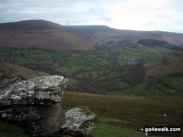
78. Pen Allt-mawr
719m (2,362ft)
Mountain (62nd in Wales, 150th in England & Wales)
Nuttall (78th in Wales, 186th in England & Wales)
OS Trig Point
To walk, climb & bag Pen Allt-mawr use any of these easy-to-follow walks:
See the location of Pen Allt-mawr and walks up it on a google MapPen Allt-mawr is on interactive maps:
OS Explorer (Orange Covers): OL13
OS Landranger (Pink Covers): 161
Pen Allt-mawr is on downloadable PDF you can Print or Save to your Phone:
|
79. Fan y Big
716m (2,351ft)
Nuttall (79th in Wales, 189th in England & Wales)
Fan y Big was removed from the list of Welsh Hewitts (Welsh Mountains) due to insufficient prominence - August, 2018
To walk, climb & bag Fan y Big use any of these easy-to-follow walks:
See the location of Fan y Big and walks up it on a google MapFan y Big is on interactive maps:
OS Explorer (Orange Covers): OL12
OS Landranger (Pink Covers): 160
Fan y Big is on downloadable PDF you can Print or Save to your Phone:
|
80. Rhos Dirion
713m (2,340ft)
Nuttall (80th in Wales, 196th in England & Wales)
OS Trig Point
To walk, climb & bag Rhos Dirion use any of these easy-to-follow walks:
See the location of Rhos Dirion and walks up it on a google MapRhos Dirion is on interactive maps:
OS Explorer (Orange Covers): OL13
OS Landranger (Pink Covers): 161
Rhos Dirion is on downloadable PDF you can Print or Save to your Phone:
|
81. Arenig Fawr (South Ridge Top)
712m (2,337ft)
Nuttall (81st in Wales, 197th in England & Wales)
To walk, climb & bag Arenig Fawr (South Ridge Top) use either of these easy-to-follow walks:
See the location of Arenig Fawr (South Ridge Top) and walks up it on a google MapArenig Fawr (South Ridge Top) is on interactive maps:
OS Explorer (Orange Covers): OL18 and
OL23
OS Landranger (Pink Covers): 124 and
125
Arenig Fawr (South Ridge Top) is on downloadable PDF you can Print or Save to your Phone:
|
82. Rhinog Fach
712m (2,337ft)
Mountain (63rd in Wales, 156th in England & Wales)
Nuttall (82nd in Wales, 198th in England & Wales)
Marilyn (31st in Wales, 559th in GB)
Rhinog Fach was promoted to Marilyn status in August, 2021
To walk, climb & bag Rhinog Fach use this easy-to-follow walk:
See the location of Rhinog Fach and walks up it on a google MapRhinog Fach is on interactive maps:
OS Explorer (Orange Covers): OL18
OS Landranger (Pink Covers): 124
Rhinog Fach is on downloadable PDF you can Print or Save to your Phone:
|
83. Moelwyn Bach
710m (2,330ft)
Mountain (64th in Wales, 159th in England & Wales)
Nuttall (83rd in Wales, 201st in England & Wales)
To walk, climb & bag Moelwyn Bach use any of these easy-to-follow walks:
See the location of Moelwyn Bach and walks up it on a google MapMoelwyn Bach is on interactive maps:
OS Explorer (Orange Covers): OL18
OS Landranger (Pink Covers): 124
Moelwyn Bach is on downloadable PDF you can Print or Save to your Phone:
|
84. Trum y Ddysgl
709m (2,327ft)
Mountain (65th in Wales, 160th in England & Wales)
Nuttall (84th in Wales, 202nd in England & Wales)
Marilyn (32nd in Wales, 572nd in GB)
To walk, climb & bag Trum y Ddysgl use any of these easy-to-follow walks:
See the location of Trum y Ddysgl and walks up it on a google MapTrum y Ddysgl is on interactive maps:
OS Explorer (Orange Covers): OL17
OS Landranger (Pink Covers): 115
Trum y Ddysgl is on downloadable PDF you can Print or Save to your Phone:
|
85. Black Mountain
703m (2,307ft)
Mountain (66th in Wales, 169th in England & Wales)
Nuttall (85th in Wales, 212th in England & Wales)
Marilyn (33rd in Wales, 587th in GB)
Black Mountain straddles the border between England and Wales. Although the actual summit of Black Mountain is in the welsh county of Powys by a couple of metres, the upper NW slope of Black Mountain is the highest point in the english county of Herefordshire.
To walk, climb & bag Black Mountain use either of these easy-to-follow walks:
See the location of Black Mountain and walks up it on a google MapBlack Mountain is on interactive maps:
OS Explorer (Orange Covers): OL13
OS Landranger (Pink Covers): 161
Black Mountain is on downloadable PDF you can Print or Save to your Phone:
|
86. Pen Cerrig-calch
701m (2,300ft)
Mountain (67th in Wales, 172nd in England & Wales)
Nuttall (86th in Wales, 217th in England & Wales)
OS Trig Point
To walk, climb & bag Pen Cerrig-calch use any of these easy-to-follow walks:
See the location of Pen Cerrig-calch and walks up it on a google MapPen Cerrig-calch is on interactive maps:
OS Explorer (Orange Covers): OL13
OS Landranger (Pink Covers): 161
Pen Cerrig-calch is on downloadable PDF you can Print or Save to your Phone:
|
87. Garnedd-goch
700m (2,297ft)
Nuttall (87th in Wales, 220th in England & Wales)
OS Trig Point
To walk, climb & bag Garnedd-goch use any of these easy-to-follow walks:
See the location of Garnedd-goch and walks up it on a google MapGarnedd-goch is on interactive maps:
OS Explorer (Orange Covers): OL17
OS Landranger (Pink Covers): 115
Garnedd-goch is on downloadable PDF you can Print or Save to your Phone:
|
88. Allt-fawr (Moelwyns)
698m (2,291ft)
Mountain (68th in Wales, 175th in England & Wales)
Nuttall (88th in Wales, 223rd in England & Wales)
Marilyn (34th in Wales, 599th in GB)
To walk, climb & bag Allt-fawr (Moelwyns) use this easy-to-follow walk:
See the location of Allt-fawr (Moelwyns) and walks up it on a google MapAllt-fawr (Moelwyns) is on interactive maps:
OS Explorer (Orange Covers): OL17
OS Landranger (Pink Covers): 115
Allt-fawr (Moelwyns) is on downloadable PDF you can Print or Save to your Phone:
|
89. Mynydd Mawr (Llyn Cwellyn)
698m (2,291ft)
Mountain (69th in Wales, 176th in England & Wales)
Nuttall (89th in Wales, 224th in England & Wales)
Marilyn (35th in Wales, 601st in GB)
To walk, climb & bag Mynydd Mawr (Llyn Cwellyn) use this easy-to-follow walk:
See the location of Mynydd Mawr (Llyn Cwellyn) and walks up it on a google MapMynydd Mawr (Llyn Cwellyn) is on interactive maps:
OS Explorer (Orange Covers): OL17
OS Landranger (Pink Covers): 115
Mynydd Mawr (Llyn Cwellyn) is on downloadable PDF you can Print or Save to your Phone:
|
90. Mynydd Drws-y-coed
695m (2,281ft)
Mountain (70th in Wales, 178th in England & Wales)
Nuttall (90th in Wales, 230th in England & Wales)
To walk, climb & bag Mynydd Drws-y-coed use any of these easy-to-follow walks:
See the location of Mynydd Drws-y-coed and walks up it on a google MapMynydd Drws-y-coed is on interactive maps:
OS Explorer (Orange Covers): OL17
OS Landranger (Pink Covers): 115
Mynydd Drws-y-coed is on downloadable PDF you can Print or Save to your Phone:
|
Page 3 of 7 Go to page:
1 2 3 4 5 6 7 |
View these 188 Mountains, Peaks, Tops and Hills:
Is there a Mountain, Peak, Top or Hill missing from the above google map or list?
Let us know an we will add it to our database.

 Snowdon (Yr Wyddfa) in The Moel Hebog areaWales


