Walk po116 Black Mountain and Rhos Dirion from Capel-y-ffin
This 14 mile, Grade 7 (Hard), easy-to-follow, hand-crafted walk, complete with GPS Waypoints, starts at Capel-y-ffin & will take about 8 hrs to complete.
   |
Vital Statistics:
| Length: | 14mls (22.5km) |
| Ascent: | 2,808ft (856m) |
| Time: | 8hrs |
| Grade: |  |
Route outline for walk po116:
Capel-y-ffin - The Offa's Dyke Path - Black Mountain (South Top) - Black Mountain - Hay Bluff - Gospel Pass - Twmpa (Lord Hereford's Knob) - Rhiw y Fan - Rhos Dirion - Twyn Talycefn - Blacksmith's Anvil - Chwarel y Fan - Capel-y-ffin
Points of Interest/Notes on this walk:
Capel-y-ffin is pronounced 'kapel-ee-fin' in Welsh and means Chapel on the Boundary.
Peaks, Summits and Tops reached on this walk:
 3 Welsh Mountains |
 0 Wainwrights |
 4 Welsh Nuttalls |
 0 Welsh Deweys |
 0 Wainwright Outlying Fells |
 1 Welsh Marilyn |
 2 Bridgets |
Peak Bagging Statistics for this walk:
The highest point of this walk is Rhos Dirion at 713m (2340ft). Rhos Dirion is also known as a Welsh Nuttall (80th highest in Wales, 196th highest in England & Wales). Rhos Dirion means 'Gentle Moor' in Welsh and is pronounced 'ross deer-ree-on'.
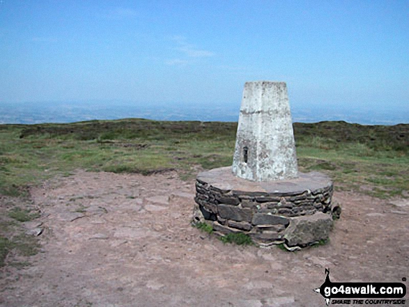
The summit of Rhos Dirion is marked by an Ordnance Survey Trig Point.
Completing this walk will also take you to the top of Black Mountain at 703m (2307ft). Black Mountain is classified as a Welsh Mountain (Hewitt) (66th highest in Wales, 169th highest in England & Wales)
Black Mountain is also known as a Welsh Nuttall (85th highest in Wales, 212th highest in England & Wales) and a Welsh Marilyn (33rd highest in Wales, 587th highest in the UK).
Black Mountain straddles the border between England and Wales. Although the actual summit of Black Mountain is in the welsh county of Powys by a couple of metres, the upper NW slope of Black Mountain is the highest point in the english county of Herefordshire.
You will also reach the summit of Twmpa (Lord Hereford's Knob) at 690m (2264ft). Twmpa (Lord Hereford's Knob) is classified as a Welsh Mountain (Hewitt) (72nd highest in Wales, 183rd highest in England & Wales)
Twmpa (Lord Hereford's Knob) is also known as a Welsh Nuttall (93rd highest in Wales, 237th highest in England & Wales). Twmpa (Lord Hereford's Knob) means 'Mound' in Welsh and is pronounced 'too-mp-a'.
The summit of Twmpa (Lord Hereford's Knob) is marked by a cairn.
Along the way you will also bag and tick-off:
- Chwarel y Fan at 679m (2228ft). Chwarel y Fan is classified as a Welsh Mountain (Hewitt) (86th Wales, 214th Eng & Wal) and a Welsh Nuttall (107th highest in Wales, 260th highest in England & Wales). Chwarel y Fan means 'Beacon of the Quarry' in Welsh and is pronounced 'choo-a-rel-ee-van'.
The summit of Chwarel y Fan is marked by a cairn. Chwarel y Fan is the highest point in the county of Monmouthshire.
- Hay Bluff at 677m (2222ft). Hay Bluff is known as a Welsh Bridget. The summit of Hay Bluff is marked by an Ordnance Survey Trig Point.
- Black Mountain (South Top) at 637m (2091ft). Black Mountain (South Top) is known as a Welsh Bridget. The summit of Black Mountain (South Top) is marked by an Ordnance Survey Trig Point.
National Trails & Long Paths included on this walk:
Part of this walk follows a section of The Offa's Dyke Path, a 287km (178 miles) linear footpath connecting Sedbury Cliffs in Gloucestershire, England with Prestatyn in Denbighshire, Wales. The Offa's Dyke Path is waymarked by a National Trail Acorn. For more walks that include a section of this trail see The Offa's Dyke Path.
You can find this walk and other nearby walks on these unique Interactive Walk Planning Maps:
(worth a look if you're new to go4awalk.com & have never seen one of these before.)
1:25,000 scale OS Explorer Map (orange/yellow covers):
1:50,000 scale OS Landranger Map (pink/magenta covers):
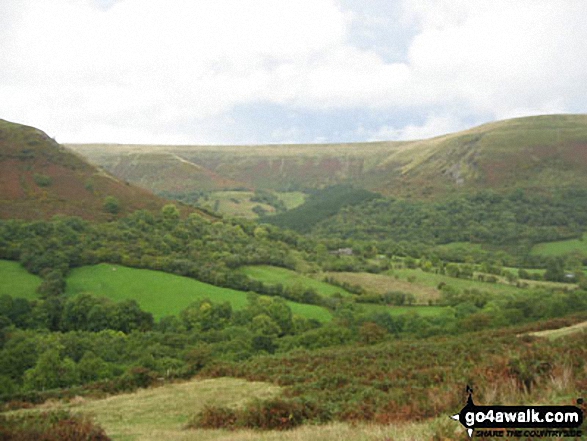
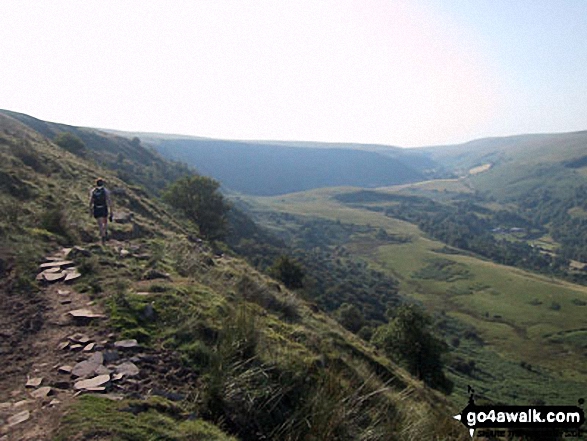
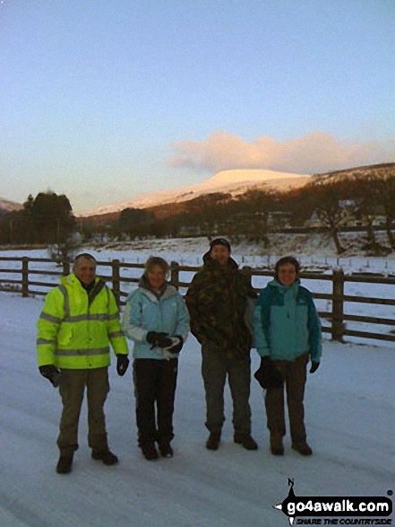
Some Photos and Pictures from Walk po116 Black Mountain and Rhos Dirion from Capel-y-ffin
In no particular order . . .
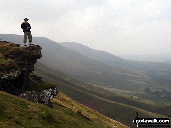
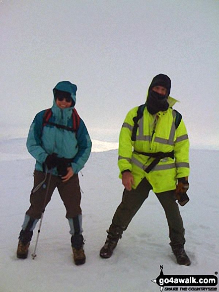
Me standing on the edge near Hay Bluff during a weekend in the Black Mountains

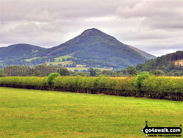
Rodney's Pillar (Breidden Hill) (left) and Moel y Golfa (centre) and from the A458 road near the railway bridge at Cefn

. . . load all 24 walk photos from Walk po116 Black Mountain and Rhos Dirion from Capel-y-ffin
Send us your photographs and pictures from your walks and hikes
We would love to see your photographs and pictures from walk po116 Black Mountain and Rhos Dirion from Capel-y-ffin. Send them in to us as email attachments (configured for any computer) along with your name and where the picture was taken to:
and we shall do our best to publish them.
(Guide Resolution = 300dpi. At least = 660 pixels (wide) x 440 pixels (high).)

You can also submit photos from walk po116 Black Mountain and Rhos Dirion from Capel-y-ffin via our Facebook Page.
NB. Please indicate where each photo was taken.

To contribute to go4awalk.com or to contact us about anything at all - see Talk To Us.
For help see Help.
go4awalk.com and go4awalk.co.uk are registered trademarks of TMDH Limited.
Copyright © 2000-2026 TMDH Limited. All rights reserved.
Copyright Terms & Conditions Privacy Statement
A - Z Walks Home Log On/Accounts Photo Gallery Walk Ideas and Collections Fell Facts Hill Skills Walking Questions and Answers Your Stories News Competitions Product Reviews/Gear Tests Walking Gear Guides Peaks and Mountains Peak Bagging Find New Walking Friends Camping GPS Waypoints for Walking Contents Walk Search Talk To Us go4awalk.com Help Free Example Walks Newsletter


