   |
Vital Statistics:
| Length: | 8½mls (13.5km) |
| Ascent: | 2,539ft (774m) |
| Time: | 5¾hrs |
| Grade: |  |
Route outline for walk po146:
Pont y Caniedydd - Afon Cynrig - Bailea - Cwm Cynwyn Farm - Bryn Teg - Cribyn - Bwlch ar y Fan - Fan y Big - Cefn Cyff - Nant Cynrig - Cwmcynwyn - Pont y Caniedydd
Peaks, Summits and Tops reached on this walk:
 1 Welsh Mountain |
 0 Wainwrights |
 2 Welsh Nuttalls |
 0 Welsh Deweys |
 0 Wainwright Outlying Fells |
 0 Welsh Marilyns |
 0 Bridgets |
Peak Bagging Statistics for this walk:
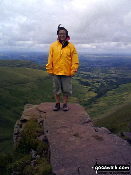
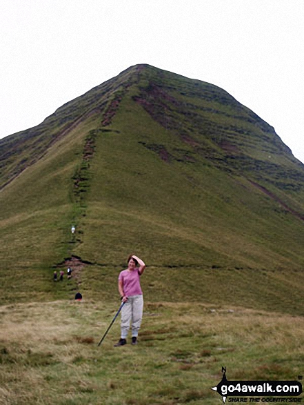
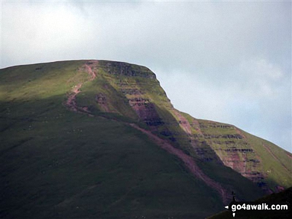
The highest point of this walk is Cribyn at 795m (2609ft). Cribyn is classified as a Welsh Mountain (Hewitt) (37th highest in Wales, 82nd highest in England & Wales)
Cribyn is also known as a Welsh Nuttall (47th highest in Wales, 99th highest in England & Wales). Cribyn means 'The Summit' in Welsh and is pronounced 'kree-bun'.
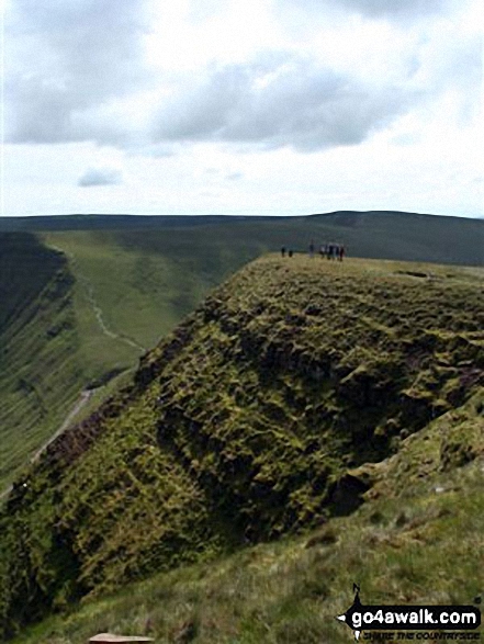
The summit of Cribyn is marked by a small cairn.
Completing this walk will also take you to the top of Fan y Big at 716m (2351ft). Fan y Big is also known as a Welsh Nuttall (79th highest in Wales, 189th highest in England & Wales). Fan y Big means 'Beacon of the Beak' in Welsh and is pronounced 'van-uh-beeg'.
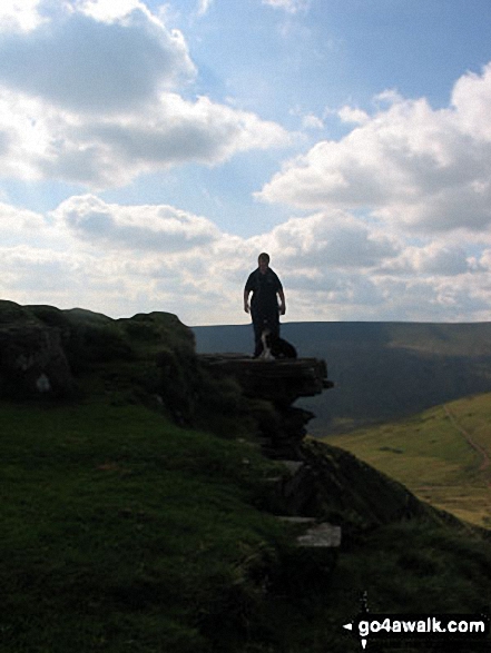
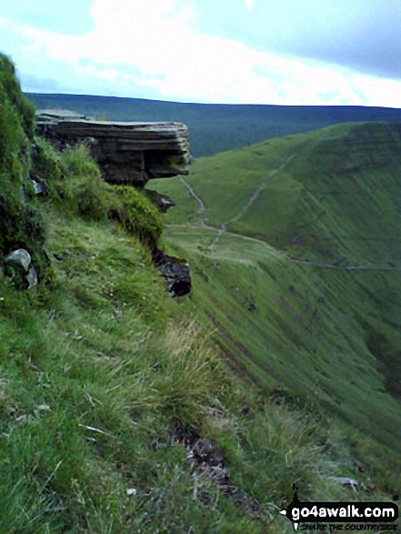
The summit of Fan y Big is marked by a stone slab resembling a diving board. Fan y Big was removed from the list of Welsh Hewitts (Welsh Mountains) due to insufficient prominence - August, 2018
You can find this walk and other nearby walks on these unique free-to-access Interactive Walk Planning Maps:
1:25,000 scale OS Explorer Map (orange/yellow covers):
1:50,000 scale OS Landranger Map (pink/magenta covers):
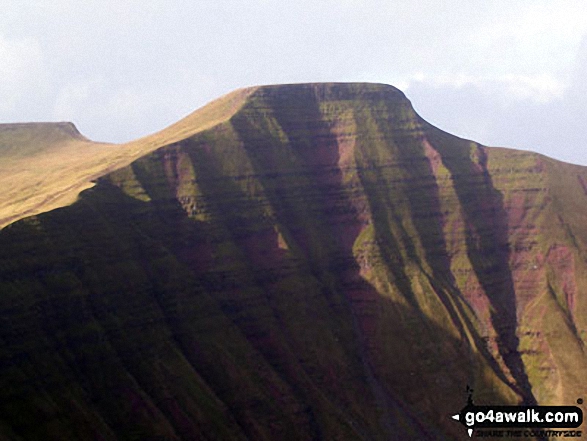
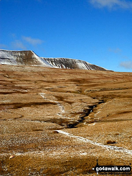
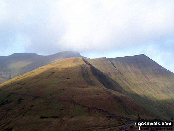
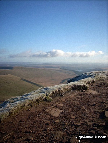
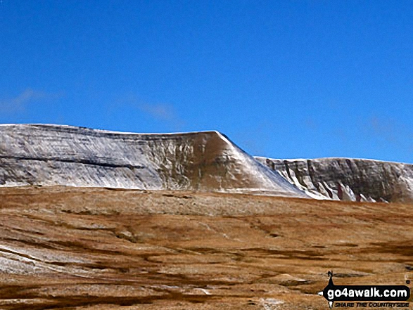
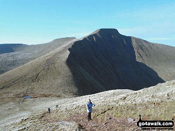
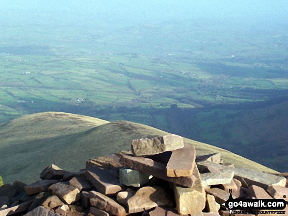
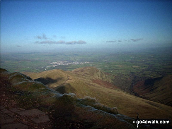
Some Photos and Pictures from Walk po146 Cribyn and Fan y Big from Pont y Caniedydd
In no particular order . . .
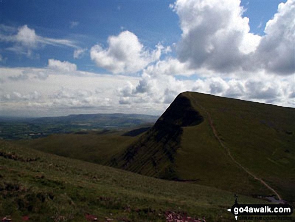
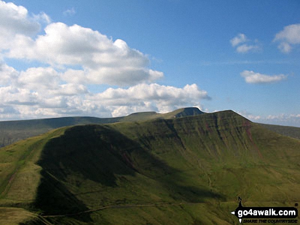
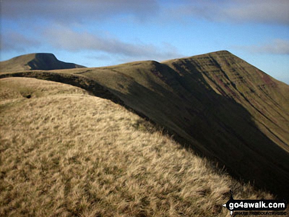
Craig Cwm Cynwyn, Cribyn, Craig Cwm Sere, Pen y Fan and Corn Du from Fan y Big
. . . load all 24 walk photos from Walk po146 Cribyn and Fan y Big from Pont y Caniedydd
Send us your photographs and pictures from your walks and hikes
We would love to see your photographs and pictures from walk po146 Cribyn and Fan y Big from Pont y Caniedydd. Send them in to us as email attachments (configured for any computer) along with your name and where the picture was taken to:
and we shall do our best to publish them.
(Guide Resolution = 300dpi. At least = 660 pixels (wide) x 440 pixels (high).)

You can also submit photos from walk po146 Cribyn and Fan y Big from Pont y Caniedydd via our Facebook Page.
NB. Please indicate where each photo was taken.


