The Yorkshire region of England - a fully detailed list of all the Mountains, Peaks, Tops and Hills (Page 1 of 2)
The Yorkshire region of England comprises the traditional counties of East Riding of Yorkshire, North Yorkshire, South Yorkshire and West Yorkshire.
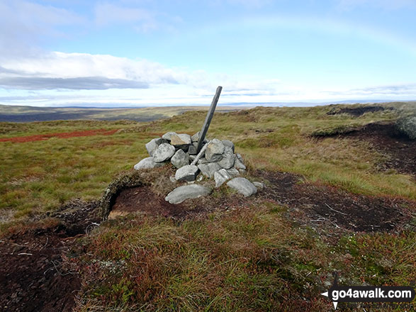
If you include all the Mountains (Hewitts), the Deweys, the Nuttalls, the Marilyns, the Bridgets (Hills) and all the Mountains, Tops, Peaks and Hills with a Trig Point on them there are 117 tops to climb, bag & conquer and the highest point is Whernside at 736m (2,416ft).
To see these Mountains, Peaks, Tops and Hills displayed in different ways - see the options in the left-hand column and towards the bottom of this page.
When logged on, you can mark each Mountain, Peak, Top or Hill as 'bagged' by either:
- if you opt to display the tops in this area using a google map, click or tap on its symbol on the map below. This will open a text window. Click or tap on the 'Record [mountain name] as Bagged, Climbed & Conquered' link towards the bottom of the text window, or
- if you opt to display the tops in this area as a list, click or tap on the red 'not yet' symbol to the right of the name of each 'top'
Either method will open a new page where you can complete all your details such as:
- when you bagged the Mountain, Peak, Top or Hill;
- which route you took
- who you went with
- what the weather was like
- any other comment that will remind you of the day
Once you have completed your details and click or tap the submit button, you will automatically return to this page and the top you bagged will show with a green tick.
NB. None of the above fields are 'mandatory' - you can leave them blank if you wish.
NNB. You also have the option whether to display your peak bagging exploits to other users of this site or keep them private so only you can see them when you are logged on.
Furthermore, since you can also access your Personal Mountain & Hill Bagging Record via go4awalk Mobile you can quickly & easily record, edit and view your achievements - whether you are at home/work on your desktop computer or in the pub/at the top of a mountain with your Mobile Phone. (You can even download your Personal Mountain & Hill Bagging Record as a .csv file for importing into and saving with spreadsheet software like Excel or NeoOffice!)
This facility costs one credit to initially access your personal bagging record. Once accessed, all other interactions, such as recording other Mountains, Peaks, Tops and Hills as 'bagged' or altering an existing bagging record, are free.
Click REGISTER to register and purchase credits.
LOG ON and RELOAD this page to show which Mountains, Peaks, Tops and Hills you have already climbed, bagged & conquered. [ . . . remove this text]
Page 1 of 2 Go to page:
1 2 |
See this list in: Alphabetical Order
| Height Order‡
To reverse the order select the link again.
Mountain, Peak, Top or Hill:
Bagged
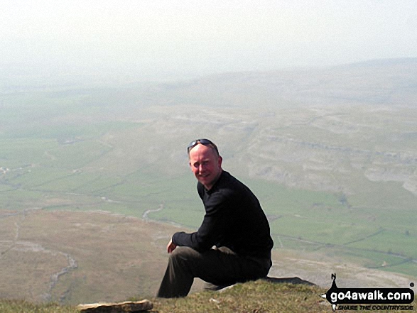
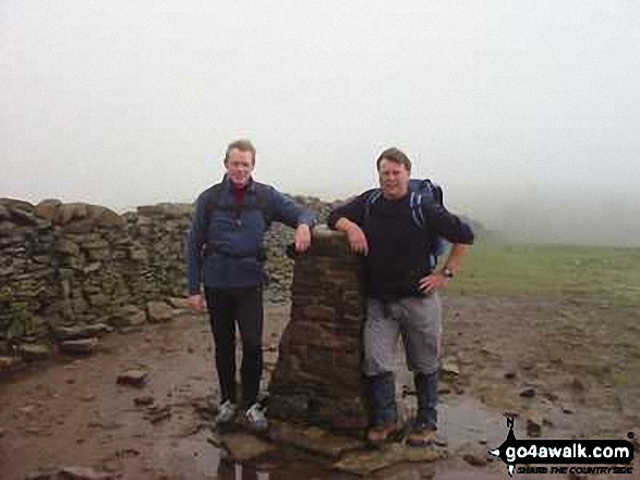
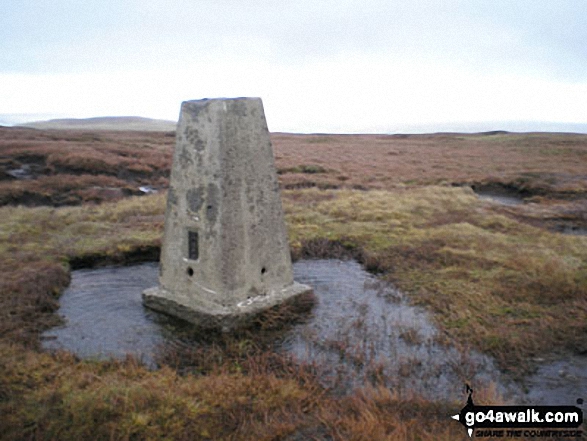
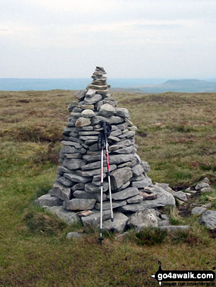
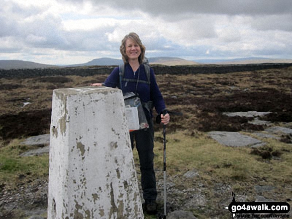
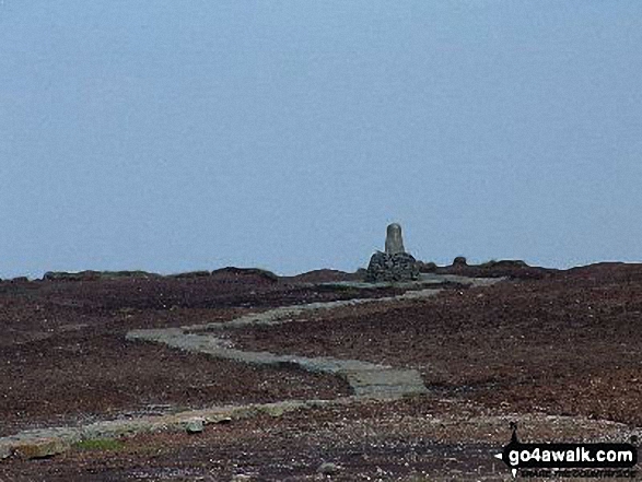
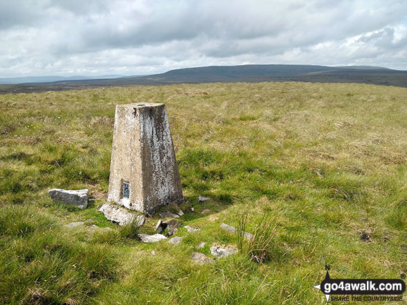
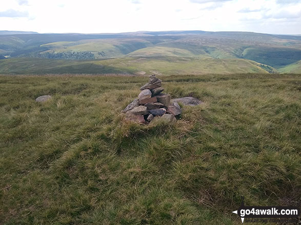
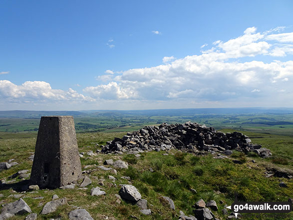
1. Whernside
736m (2,416ft)
Mountain (76th in England, 131st in England & Wales)
Nuttall (95th in England, 162nd in England & Wales)
Marilyn (25th in England, 513th in GB)
OS Trig Point
Whernside is the highest point in The Yorkshire Dales National Park and the highest point in the county of North Yorkshire.
To walk, climb & bag Whernside use any of these easy-to-follow walks:
See the location of Whernside and walks up it on a google MapWhernside is on interactive maps:
OS Explorer (Orange Covers): OL2
OS Landranger (Pink Covers): 98
Whernside is on downloadable PDF you can Print or Save to your Phone:
|
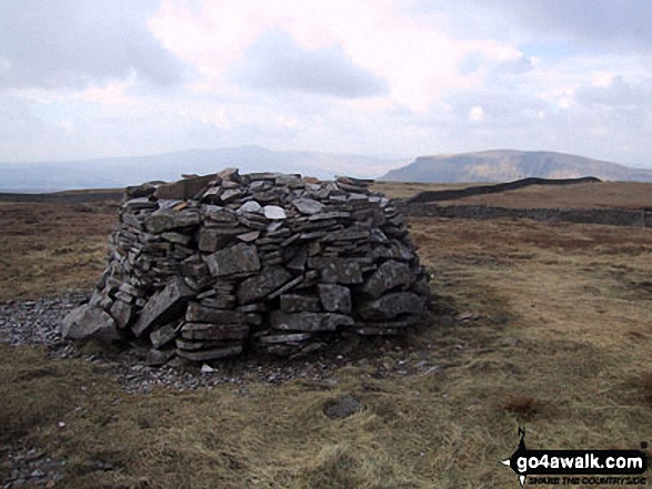
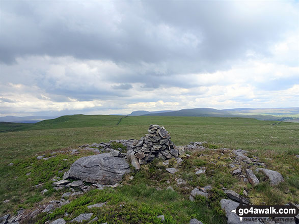
2. Ingleborough
724m (2,375ft)
Mountain (83rd in England, 144th in England & Wales)
Nuttall (104th in England, 178th in England & Wales)
Marilyn (26th in England, 540th in GB)
OS Trig Point
To walk, climb & bag Ingleborough use any of these easy-to-follow walks:
See the location of Ingleborough and walks up it on a google MapIngleborough is on interactive maps:
OS Explorer (Orange Covers): OL2
OS Landranger (Pink Covers): 98
Ingleborough is on downloadable PDF you can Print or Save to your Phone:
|
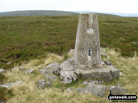
3. Great Shunner Fell
716m (2,349ft)
Mountain (88th in England, 151st in England & Wales)
Nuttall (111th in England, 190th in England & Wales)
Marilyn (27th in England, 554th in GB)
OS Trig Point
To walk, climb & bag Great Shunner Fell use this easy-to-follow walk:
See the location of Great Shunner Fell and walks up it on a google MapGreat Shunner Fell is on interactive maps:
OS Explorer (Orange Covers): OL30
OS Landranger (Pink Covers): 98
Great Shunner Fell is on downloadable PDF you can Print or Save to your Phone:
|
4. Great Whernside
704m (2,310ft)
Mountain (102nd in England, 168th in England & Wales)
Nuttall (127th in England, 211th in England & Wales)
Marilyn (31st in England, 584th in GB)
OS Trig Point
To walk, climb & bag Great Whernside use either of these easy-to-follow walks:
See the location of Great Whernside and walks up it on a google MapGreat Whernside is on interactive maps:
OS Explorer (Orange Covers): OL30
OS Landranger (Pink Covers): 98
Great Whernside is on downloadable PDF you can Print or Save to your Phone:
|
5. Buckden Pike
702m (2,303ft)
Mountain (104th in England, 171st in England & Wales)
Nuttall (131st in England, 216th in England & Wales)
Marilyn (32nd in England, 592nd in GB)
OS Trig Point
To walk, climb & bag Buckden Pike use either of these easy-to-follow walks:
See the location of Buckden Pike and walks up it on a google MapBuckden Pike is on interactive maps:
OS Explorer (Orange Covers): OL30
OS Landranger (Pink Covers): 98
Buckden Pike is on downloadable PDF you can Print or Save to your Phone:
|
6. Pen-y-ghent
694m (2,277ft)
Mountain (108th in England, 179th in England & Wales)
Nuttall (142nd in England, 233rd in England & Wales)
Marilyn (33rd in England, 606th in GB)
OS Trig Point
To walk, climb & bag Pen-y-ghent use any of these easy-to-follow walks:
See the location of Pen-y-ghent and walks up it on a google MapPen-y-ghent is on interactive maps:
OS Explorer (Orange Covers): OL2
OS Landranger (Pink Covers): 98
Pen-y-ghent is on downloadable PDF you can Print or Save to your Phone:
|
7. Plover Hill
680m (2,231ft)
Mountain (115th in England, 195th in England & Wales)
Nuttall (153rd in England, 258th in England & Wales)
To walk, climb & bag Plover Hill use either of these easy-to-follow walks:
See the location of Plover Hill and walks up it on a google MapPlover Hill is on interactive maps:
OS Explorer (Orange Covers): OL2 and
OL30
OS Landranger (Pink Covers): 98
Plover Hill is on downloadable PDF you can Print or Save to your Phone:
|
8. Lovely Seat
675m (2,214ft)
Mountain (121st in England, 204th in England & Wales)
Nuttall (161st in England, 273rd in England & Wales)
Lovely Seat was promoted to Marilyn status in 1995 but demoted again in 2010.
To walk, climb & bag Lovely Seat use this easy-to-follow walk:
See the location of Lovely Seat and walks up it on a google MapLovely Seat is on interactive maps:
OS Explorer (Orange Covers): OL30
OS Landranger (Pink Covers): 98
Lovely Seat is on downloadable PDF you can Print or Save to your Phone:
|
9. Rogan's Seat
672m (2,205ft)
Mountain (126th in England, 211th in England & Wales)
Nuttall (168th in England, 282nd in England & Wales)
Marilyn (39th in England, 648th in GB)
To walk, climb & bag Rogan's Seat use this easy-to-follow walk:
See the location of Rogan's Seat and walks up it on a google MapRogan's Seat is on interactive maps:
OS Explorer (Orange Covers): OL30
OS Landranger (Pink Covers): 91 and
92
Rogan's Seat is on downloadable PDF you can Print or Save to your Phone:
|
10. Dodd Fell Hill
668m (2,192ft)
Mountain (128th in England, 218th in England & Wales)
Nuttall (171st in England, 289th in England & Wales)
Marilyn (40th in England, 655th in GB)
OS Trig Point
To walk, climb & bag Dodd Fell Hill use this easy-to-follow walk:
See the location of Dodd Fell Hill and walks up it on a google MapDodd Fell Hill is on interactive maps:
OS Explorer (Orange Covers): OL2 and
OL30
OS Landranger (Pink Covers): 98
Dodd Fell Hill is on downloadable PDF you can Print or Save to your Phone:
|
11. Fountains Fell
668m (2,192ft)
Mountain (129th in England, 220th in England & Wales)
Nuttall (172nd in England, 292nd in England & Wales)
Marilyn (41st in England, 657th in GB)
To walk, climb & bag Fountains Fell use this easy-to-follow walk:
See the location of Fountains Fell and walks up it on a google MapFountains Fell is on interactive maps:
OS Explorer (Orange Covers): OL2
OS Landranger (Pink Covers): 98
Fountains Fell is on downloadable PDF you can Print or Save to your Phone:
|
12. Water Crag (Arkengarthdale)
668m (2,192ft)
Nuttall (173rd in England, 293rd in England & Wales)
OS Trig Point
To walk, climb & bag Water Crag (Arkengarthdale) use this easy-to-follow walk:
See the location of Water Crag (Arkengarthdale) and walks up it on a google MapWater Crag (Arkengarthdale) is on interactive maps:
OS Explorer (Orange Covers): OL30
OS Landranger (Pink Covers): 91 and
92
Water Crag (Arkengarthdale) is on downloadable PDF you can Print or Save to your Phone:
|
13. Little Fell (Lunds Fell) (Mallerstang)
667m (2,189ft)
Mountain (130th in England, 221st in England & Wales)
Nuttall (174th in England, 294th in England & Wales)
A survey in Oct 2022 detrmined that the summit of Little Fell was at Sails, 500m S of the high point marked on OS Map OL19. However, the name of top remains Little Fell (Lunds Fell) (Mallerstang).
To walk, climb & bag Little Fell (Lunds Fell) (Mallerstang) use this easy-to-follow walk:
See the location of Little Fell (Lunds Fell) (Mallerstang) and walks up it on a google MapLittle Fell (Lunds Fell) (Mallerstang) is on interactive maps:
OS Explorer (Orange Covers): OL19
OS Landranger (Pink Covers): 98
Little Fell (Lunds Fell) (Mallerstang) is on downloadable PDF you can Print or Save to your Phone:
|
14. Fountains Fell (South Top)
663m (2,176ft)
Nuttall (178th in England, 301st in England & Wales)
To walk, climb & bag Fountains Fell (South Top) use this easy-to-follow walk:
See the location of Fountains Fell (South Top) and walks up it on a google MapFountains Fell (South Top) is on interactive maps:
OS Explorer (Orange Covers): OL2
OS Landranger (Pink Covers): 98
Fountains Fell (South Top) is on downloadable PDF you can Print or Save to your Phone:
|
15. Simon Fell
650m (2,133ft)
Mountain (145th in England, 249th in England & Wales)
Nuttall (193rd in England, 333rd in England & Wales)
To walk, climb & bag Simon Fell use this easy-to-follow walk:
See the location of Simon Fell and walks up it on a google MapSimon Fell is on interactive maps:
OS Explorer (Orange Covers): OL2
OS Landranger (Pink Covers): 98
Simon Fell is on downloadable PDF you can Print or Save to your Phone:
|
16. Yockenthwaite Moor
643m (2,110ft)
Mountain (149th in England, 255th in England & Wales)
Nuttall (197th in England, 345th in England & Wales)
OS Trig Point
To walk, climb & bag Yockenthwaite Moor use this easy-to-follow walk:
See the location of Yockenthwaite Moor and walks up it on a google MapYockenthwaite Moor is on interactive maps:
OS Explorer (Orange Covers): OL30
OS Landranger (Pink Covers): 98
Yockenthwaite Moor is on downloadable PDF you can Print or Save to your Phone:
|
17. Darnbrook Fell
624m (2,047ft)
Mountain (164th in England, 285th in England & Wales)
Nuttall (223rd in England, 388th in England & Wales)
OS Trig Point
To walk, climb & bag Darnbrook Fell use this easy-to-follow walk:
See the location of Darnbrook Fell and walks up it on a google MapDarnbrook Fell is on interactive maps:
OS Explorer (Orange Covers): OL30
OS Landranger (Pink Covers): 98
Darnbrook Fell is on downloadable PDF you can Print or Save to your Phone:
|
18. Drumaldrace (Wether Fell)
614m (2,015ft)
Mountain (174th in England, 303rd in England & Wales)
Nuttall (243rd in England, 423rd in England & Wales)
To walk, climb & bag Drumaldrace (Wether Fell) use this easy-to-follow walk:
See the location of Drumaldrace (Wether Fell) and walks up it on a google MapDrumaldrace (Wether Fell) is on interactive maps:
OS Explorer (Orange Covers): OL2 and
OL30
OS Landranger (Pink Covers): 98
Drumaldrace (Wether Fell) is on downloadable PDF you can Print or Save to your Phone:
|
19. Birks Fell
610m (2,002ft)
Mountain (177th in England, 312th in England & Wales)
Nuttall (249th in England, 435th in England & Wales)
Marilyn (50th in England, 749th in GB)
To walk, climb & bag Birks Fell use this easy-to-follow walk:
See the location of Birks Fell and walks up it on a google MapBirks Fell is on interactive maps:
OS Explorer (Orange Covers): OL30
OS Landranger (Pink Covers): 98
Birks Fell is on downloadable PDF you can Print or Save to your Phone:
|
20. Sugar Loaf (Horse Head Moor)
609m (1,999ft)
Dewey (1st in England, 2nd in England & Wales)
To walk, climb & bag Sugar Loaf (Horse Head Moor) use this easy-to-follow walk:
See the location of Sugar Loaf (Horse Head Moor) and walks up it on a google MapSugar Loaf (Horse Head Moor) is on interactive maps:
OS Explorer (Orange Covers): OL30
OS Landranger (Pink Covers): 98
Sugar Loaf (Horse Head Moor) is on downloadable PDF you can Print or Save to your Phone:
|
21. Firth Fell
607m (1,992ft)
Bridget
OS Trig Point
To walk, climb & bag Firth Fell use this easy-to-follow walk:
See the location of Firth Fell and walks up it on a google MapFirth Fell is on interactive maps:
OS Explorer (Orange Covers): OL30
OS Landranger (Pink Covers): 98
|
22. Horse Head (Horse Head Moor)
605m (1,985ft)
Bridget
OS Trig Point
To walk, climb & bag Horse Head (Horse Head Moor) use this easy-to-follow walk:
See the location of Horse Head (Horse Head Moor) and walks up it on a google MapHorse Head (Horse Head Moor) is on interactive maps:
OS Explorer (Orange Covers): OL30
OS Landranger (Pink Covers): 98
|
23. Little Whernside
604m (1,982ft)
Dewey (6th in England, 15th in England & Wales)
To walk, climb & bag Little Whernside use this easy-to-follow walk:
See the location of Little Whernside and walks up it on a google MapLittle Whernside is on interactive maps:
OS Explorer (Orange Covers): OL30
OS Landranger (Pink Covers): 98
Little Whernside is on downloadable PDF you can Print or Save to your Phone:
|
24. High Green Field Knott (Cosh Knott)
602m (1,975ft)
Dewey (10th in England, 23rd in England & Wales)
To walk, climb & bag High Green Field Knott (Cosh Knott) use this easy-to-follow walk:
See the location of High Green Field Knott (Cosh Knott) and walks up it on a google MapHigh Green Field Knott (Cosh Knott) is on interactive maps:
OS Explorer (Orange Covers): OL2 and
OL30
OS Landranger (Pink Covers): 98
High Green Field Knott (Cosh Knott) is on downloadable PDF you can Print or Save to your Phone:
|
25. Cosh Outside (Cosh Knott)
600m (1,969ft)
Bridget
OS Trig Point
To walk, climb & bag Cosh Outside (Cosh Knott) use this easy-to-follow walk:
See the location of Cosh Outside (Cosh Knott) and walks up it on a google MapCosh Outside (Cosh Knott) is on interactive maps:
OS Explorer (Orange Covers): OL2
OS Landranger (Pink Covers): 98
|
26. Woldside
596m (1,956ft)
Dewey (14th in England, 34th in England & Wales)
We hope to have walks that climb & bag Woldside very soon
See the location of Woldside and walks up it on a google MapWoldside is on interactive maps:
OS Explorer (Orange Covers): OL2 and
OL30
OS Landranger (Pink Covers): 98
Woldside is on downloadable PDF you can Print or Save to your Phone:
|
27. Knowe Fell
593m (1,946ft)
Bridget
OS Trig Point
We hope to have walks that climb & bag Knowe Fell very soon
See the location of Knowe Fell and walks up it on a google MapKnowe Fell is on interactive maps:
OS Explorer (Orange Covers): OL2
OS Landranger (Pink Covers): 98
|
28. Blackstone Edge (Oxnop Common)
584m (1,917ft)
Dewey (25th in England, 62nd in England & Wales)
We hope to have walks that climb & bag Blackstone Edge (Oxnop Common) very soon
See the location of Blackstone Edge (Oxnop Common) and walks up it on a google MapBlackstone Edge (Oxnop Common) is on interactive maps:
OS Explorer (Orange Covers): OL30
OS Landranger (Pink Covers): 98
Blackstone Edge (Oxnop Common) is on downloadable PDF you can Print or Save to your Phone:
|
29. Great Pinseat (Whaw Moor)
583m (1,913ft)
Dewey (26th in England, 64th in England & Wales)
OS Trig Point
We hope to have walks that climb & bag Great Pinseat (Whaw Moor) very soon
See the location of Great Pinseat (Whaw Moor) and walks up it on a google MapGreat Pinseat (Whaw Moor) is on interactive maps:
OS Explorer (Orange Covers): OL30
OS Landranger (Pink Covers): 92
Great Pinseat (Whaw Moor) is on downloadable PDF you can Print or Save to your Phone:
|
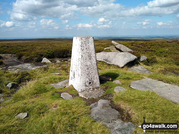
30. Black Hill (Soldier's Lump)
582m (1,910ft)
Dewey (28th in England, 66th in England & Wales)
Marilyn (55th in England, 795th in GB)
OS Trig Point
Black Hill (Soldier's Lump) is the highest point in the county of West Yorkshire.
To walk, climb & bag Black Hill (Soldier's Lump) use this easy-to-follow walk:
See the location of Black Hill (Soldier's Lump) and walks up it on a google MapBlack Hill (Soldier's Lump) is on interactive maps:
OS Explorer (Orange Covers): OL1
OS Landranger (Pink Covers): 110
Black Hill (Soldier's Lump) is on downloadable PDF you can Print or Save to your Phone:
|
31. Meugher
575m (1,887ft)
Dewey (34th in England, 78th in England & Wales)
OS Trig Point
To walk, climb & bag Meugher use this easy-to-follow walk:
See the location of Meugher and walks up it on a google MapMeugher is on interactive maps:
OS Explorer (Orange Covers): OL30
OS Landranger (Pink Covers): 98
Meugher is on downloadable PDF you can Print or Save to your Phone:
|
32. Brown Haw (North Moor)
574m (1,884ft)
Dewey (35th in England, 79th in England & Wales)
We hope to have walks that climb & bag Brown Haw (North Moor) very soon
See the location of Brown Haw (North Moor) and walks up it on a google MapBrown Haw (North Moor) is on interactive maps:
OS Explorer (Orange Covers): OL30
OS Landranger (Pink Covers): 98
Brown Haw (North Moor) is on downloadable PDF you can Print or Save to your Phone:
|
33. Naughtberry Hill
573m (1,881ft)
Dewey (38th in England, 83rd in England & Wales)
We hope to have walks that climb & bag Naughtberry Hill very soon
See the location of Naughtberry Hill and walks up it on a google MapNaughtberry Hill is on interactive maps:
OS Explorer (Orange Covers): OL30
OS Landranger (Pink Covers): 98
Naughtberry Hill is on downloadable PDF you can Print or Save to your Phone:
|
34. Black Hill (Melbecks Moor)
569m (1,867ft)
Bridget
We hope to have walks that climb & bag Black Hill (Melbecks Moor) very soon
See the location of Black Hill (Melbecks Moor) and walks up it on a google MapBlack Hill (Melbecks Moor) is on interactive maps:
OS Explorer (Orange Covers): OL30
OS Landranger (Pink Covers): 91 and
92
Black Hill (Melbecks Moor) is on downloadable PDF you can Print or Save to your Phone:
|
35. Pickerstone Ridge
565m (1,854ft)
Dewey (47th in England, 107th in England & Wales)
We hope to have walks that climb & bag Pickerstone Ridge very soon
See the location of Pickerstone Ridge and walks up it on a google MapPickerstone Ridge is on interactive maps:
OS Explorer (Orange Covers): OL30
OS Landranger (Pink Covers): 98
Pickerstone Ridge is on downloadable PDF you can Print or Save to your Phone:
|
36. Park Fell (Ribblehead)
563m (1,847ft)
Dewey (49th in England, 113th in England & Wales)
OS Trig Point
To walk, climb & bag Park Fell (Ribblehead) use this easy-to-follow walk:
See the location of Park Fell (Ribblehead) and walks up it on a google MapPark Fell (Ribblehead) is on interactive maps:
OS Explorer (Orange Covers): OL2
OS Landranger (Pink Covers): 98
Park Fell (Ribblehead) is on downloadable PDF you can Print or Save to your Phone:
|
37. Hoove Faggergill
554m (1,818ft)
Dewey (62nd in England, 145th in England & Wales)
Marilyn (62nd in England, 862nd in GB)
OS Trig Point
We hope to have walks that climb & bag Hoove Faggergill very soon
See the location of Hoove Faggergill and walks up it on a google MapHoove Faggergill is on interactive maps:
OS Explorer (Orange Covers): OL30
OS Landranger (Pink Covers): 92
Hoove Faggergill is on downloadable PDF you can Print or Save to your Phone:
|
38. Grizedales
553m (1,814ft)
Dewey (64th in England, 151st in England & Wales)
We hope to have walks that climb & bag Grizedales very soon
See the location of Grizedales and walks up it on a google MapGrizedales is on interactive maps:
OS Explorer (Orange Covers): OL2 and
OL41
OS Landranger (Pink Covers): 98
Grizedales is on downloadable PDF you can Print or Save to your Phone:
|
39. Height of Hazely
553m (1,814ft)
Dewey (65th in England, 152nd in England & Wales)
We hope to have walks that climb & bag Height of Hazely very soon
See the location of Height of Hazely and walks up it on a google MapHeight of Hazely is on interactive maps:
OS Explorer (Orange Covers): OL30
OS Landranger (Pink Covers): 98
Height of Hazely is on downloadable PDF you can Print or Save to your Phone:
|
40. The Fleak (Conny Tammy Currack)
551m (1,808ft)
Dewey (71st in England, 161st in England & Wales)
OS Trig Point
We hope to have walks that climb & bag The Fleak (Conny Tammy Currack) very soon
See the location of The Fleak (Conny Tammy Currack) and walks up it on a google MapThe Fleak (Conny Tammy Currack) is on interactive maps:
OS Explorer (Orange Covers): OL30
OS Landranger (Pink Covers): 98
The Fleak (Conny Tammy Currack) is on downloadable PDF you can Print or Save to your Phone:
|
41. Robert's Seat
549m (1,801ft)
Bridget
To walk, climb & bag Robert's Seat use this easy-to-follow walk:
See the location of Robert's Seat and walks up it on a google MapRobert's Seat is on interactive maps:
OS Explorer (Orange Covers): OL19 and
OL30
OS Landranger (Pink Covers): 91 and
92
Robert's Seat is on downloadable PDF you can Print or Save to your Phone:
|
42. High Stones (Howden Moor)
548m (1,798ft)
Dewey (74th in England, 173rd in England & Wales)
To walk, climb & bag High Stones (Howden Moor) use either of these easy-to-follow walks:
See the location of High Stones (Howden Moor) and walks up it on a google MapHigh Stones (Howden Moor) is on interactive maps:
OS Explorer (Orange Covers): OL1
OS Landranger (Pink Covers): 110
High Stones (Howden Moor) is on downloadable PDF you can Print or Save to your Phone:
|
43. Rye Loaf Hill
547m (1,795ft)
Dewey (75th in England, 177th in England & Wales)
OS Trig Point
We hope to have walks that climb & bag Rye Loaf Hill very soon
See the location of Rye Loaf Hill and walks up it on a google MapRye Loaf Hill is on interactive maps:
OS Explorer (Orange Covers): OL2
OS Landranger (Pink Covers): 98
Rye Loaf Hill is on downloadable PDF you can Print or Save to your Phone:
|
44. Dead Man's Hill
546m (1,792ft)
Dewey (78th in England, 182nd in England & Wales)
We hope to have walks that climb & bag Dead Man's Hill very soon
See the location of Dead Man's Hill and walks up it on a google MapDead Man's Hill is on interactive maps:
OS Explorer (Orange Covers): OL30
OS Landranger (Pink Covers): 98
Dead Man's Hill is on downloadable PDF you can Print or Save to your Phone:
|
45. Kirkby Fell
546m (1,791ft)
Dewey (81st in England, 186th in England & Wales)
We hope to have walks that climb & bag Kirkby Fell very soon
See the location of Kirkby Fell and walks up it on a google MapKirkby Fell is on interactive maps:
OS Explorer (Orange Covers): OL2
OS Landranger (Pink Covers): 98
Kirkby Fell is on downloadable PDF you can Print or Save to your Phone:
|
46. Margery Hill
546m (1,791ft)
Bridget
OS Trig Point
To walk, climb & bag Margery Hill use either of these easy-to-follow walks:
See the location of Margery Hill and walks up it on a google MapMargery Hill is on interactive maps:
OS Explorer (Orange Covers): OL1
OS Landranger (Pink Covers): 110
Margery Hill is on downloadable PDF you can Print or Save to your Phone:
|
47. Featherbed Moss (Howden Edge)
545m (1,788ft)
Bridget
To walk, climb & bag Featherbed Moss (Howden Edge) use either of these easy-to-follow walks:
See the location of Featherbed Moss (Howden Edge) and walks up it on a google MapFeatherbed Moss (Howden Edge) is on interactive maps:
OS Explorer (Orange Covers): OL1
OS Landranger (Pink Covers): 110
Featherbed Moss (Howden Edge) is on downloadable PDF you can Print or Save to your Phone:
|
48. Redshaw Moss (Snaizhold Fell)
545m (1,788ft)
Dewey (83rd in England, 193rd in England & Wales)
We hope to have walks that climb & bag Redshaw Moss (Snaizhold Fell) very soon
See the location of Redshaw Moss (Snaizhold Fell) and walks up it on a google MapRedshaw Moss (Snaizhold Fell) is on interactive maps:
OS Explorer (Orange Covers): OL2
OS Landranger (Pink Covers): 98
Redshaw Moss (Snaizhold Fell) is on downloadable PDF you can Print or Save to your Phone:
|
49. Great Haw
542m (1,779ft)
Bridget
We hope to have walks that climb & bag Great Haw very soon
See the location of Great Haw and walks up it on a google MapGreat Haw is on interactive maps:
OS Explorer (Orange Covers): OL30
OS Landranger (Pink Covers): 99
Great Haw is on downloadable PDF you can Print or Save to your Phone:
|
50. Outer Edge
541m (1,775ft)
Bridget
OS Trig Point
To walk, climb & bag Outer Edge use any of these easy-to-follow walks:
See the location of Outer Edge and walks up it on a google MapOuter Edge is on interactive maps:
OS Explorer (Orange Covers): OL1
OS Landranger (Pink Covers): 110
Outer Edge is on downloadable PDF you can Print or Save to your Phone:
|
51. Blea Barf
540m (1,772ft)
Bridget
We hope to have walks that climb & bag Blea Barf very soon
See the location of Blea Barf and walks up it on a google MapBlea Barf is on interactive maps:
OS Explorer (Orange Covers): OL30
OS Landranger (Pink Covers): 98
Blea Barf is on downloadable PDF you can Print or Save to your Phone:
|
52. Parson's Pulpit
538m (1,765ft)
Dewey (97th in England, 222nd in England & Wales)
OS Trig Point
To walk, climb & bag Parson's Pulpit use either of these easy-to-follow walks:
See the location of Parson's Pulpit and walks up it on a google MapParson's Pulpit is on interactive maps:
OS Explorer (Orange Covers): OL2
OS Landranger (Pink Covers): 98
Parson's Pulpit is on downloadable PDF you can Print or Save to your Phone:
|
53. Harland Hill
535m (1,756ft)
Dewey (104th in England, 240th in England & Wales)
We hope to have walks that climb & bag Harland Hill very soon
See the location of Harland Hill and walks up it on a google MapHarland Hill is on interactive maps:
OS Explorer (Orange Covers): OL30
OS Landranger (Pink Covers): 98
Harland Hill is on downloadable PDF you can Print or Save to your Phone:
|
54. Blea Moor (Crag of Blea Moor)
535m (1,755ft)
Dewey (105th in England, 242nd in England & Wales)
We hope to have walks that climb & bag Blea Moor (Crag of Blea Moor) very soon
See the location of Blea Moor (Crag of Blea Moor) and walks up it on a google MapBlea Moor (Crag of Blea Moor) is on interactive maps:
OS Explorer (Orange Covers): OL2
OS Landranger (Pink Covers): 98
Blea Moor (Crag of Blea Moor) is on downloadable PDF you can Print or Save to your Phone:
|
55. Proctor High Mark
531m (1,743ft)
Dewey (112th in England, 261st in England & Wales)
To walk, climb & bag Proctor High Mark use either of these easy-to-follow walks:
See the location of Proctor High Mark and walks up it on a google MapProctor High Mark is on interactive maps:
OS Explorer (Orange Covers): OL2
OS Landranger (Pink Covers): 98
Proctor High Mark is on downloadable PDF you can Print or Save to your Phone:
|
56. Penhill
526m (1,726ft)
Bridget
OS Trig Point
We hope to have walks that climb & bag Penhill very soon
See the location of Penhill and walks up it on a google MapPenhill is on interactive maps:
OS Explorer (Orange Covers): OL30
OS Landranger (Pink Covers): 98
Penhill is on downloadable PDF you can Print or Save to your Phone:
|
57. Peat Moor Hill (Booze Moor)
522m (1,713ft)
Bridget
OS Trig Point
We hope to have walks that climb & bag Peat Moor Hill (Booze Moor) very soon
See the location of Peat Moor Hill (Booze Moor) and walks up it on a google MapPeat Moor Hill (Booze Moor) is on interactive maps:
OS Explorer (Orange Covers): OL30
OS Landranger (Pink Covers): 92
Peat Moor Hill (Booze Moor) is on downloadable PDF you can Print or Save to your Phone:
|
58. Conistone Moor (Great Whernside)
513m (1,683ft)
Bridget
OS Trig Point
We hope to have walks that climb & bag Conistone Moor (Great Whernside) very soon
See the location of Conistone Moor (Great Whernside) and walks up it on a google MapConistone Moor (Great Whernside) is on interactive maps:
OS Explorer (Orange Covers): OL30
OS Landranger (Pink Covers): 98
|
59. Cleasby Hill
511m (1,677ft)
Bridget
We hope to have walks that climb & bag Cleasby Hill very soon
See the location of Cleasby Hill and walks up it on a google MapCleasby Hill is on interactive maps:
OS Explorer (Orange Covers): OL30
OS Landranger (Pink Covers): 92
Cleasby Hill is on downloadable PDF you can Print or Save to your Phone:
|
60. Blaydike Moss
510m (1,674ft)
Dewey (159th in England, 367th in England & Wales)
We hope to have walks that climb & bag Blaydike Moss very soon
See the location of Blaydike Moss and walks up it on a google MapBlaydike Moss is on interactive maps:
OS Explorer (Orange Covers): OL2 and
OL30
OS Landranger (Pink Covers): 98
Blaydike Moss is on downloadable PDF you can Print or Save to your Phone:
|
Page 1 of 2 Go to page:
1 2 |
View these 117 Mountains, Peaks, Tops and Hills:
Is there a Mountain, Peak, Top or Hill missing from the above google map or list?
Let us know an we will add it to our database.


 Whernside in The Southern Dales Area of The Yorkshire Dales


