The North West region of England - a fully detailed list of all the Mountains, Peaks, Tops and Hills (Page of 16)
The North West region of England comprises the traditional counties of Cheshire, Cumbria, Greater Manchester, Lancashire and Mersyside and includes The Lake District National Park, The Forest of Bowland, parts of The Yorkshire Dales National Park and parts of the Peak District National Park.
If you include all the Mountains (Hewitts), the Deweys, the Nuttalls, the Marilyns, the Bridgets (Hills) and all the Mountains, Tops, Peaks and Hills with a Trig Point on them there are 464 tops to climb, bag & conquer and the highest point is Scafell Pike at 978m (3,210ft).
To see these Mountains, Peaks, Tops and Hills displayed in different ways - see the options in the left-hand column and towards the bottom of this page.
LOG ON and RELOAD this page to show which Mountains, Peaks, Tops and Hills you have already climbed, bagged & conquered [. . . more details]
See this list in: Alphabetical Order
| Height Order‡
To reverse the order select the link again.
Mountain, Peak, Top or Hill:
Bagged
1. Scafell Pike
978m (3,210ft)
See the location of Scafell Pike and walks up it on a google Map Scafell Pike is on interactive maps:
Scafell Pike is on downloadable PDF you can Print or Save to your Phone: *Version including the walk routes marked on it that you need to follow to Walk all 214 Wainwrights in just 59 walks. |
2. Sca Fell
964m (3,163ft)
See the location of Sca Fell and walks up it on a google Map Sca Fell is on interactive maps:
Sca Fell is on downloadable PDF you can Print or Save to your Phone: *Version including the walk routes marked on it that you need to follow to Walk all 214 Wainwrights in just 59 walks. |
3. Symonds Knott
959m (3,147ft)
See the location of Symonds Knott and walks up it on a google Map Symonds Knott is on interactive maps:
Symonds Knott is on downloadable PDF you can Print or Save to your Phone: *Version including the walk routes marked on it that you need to follow to Walk all 214 Wainwrights in just 59 walks. |
4. Helvellyn
950m (3,118ft)
See the location of Helvellyn and walks up it on a google Map Helvellyn is on interactive maps:
Helvellyn is on downloadable PDF you can Print or Save to your Phone: *Version including the walk routes marked on it that you need to follow to Walk all 214 Wainwrights in just 59 walks. |
5. Broad Crag
935m (3,069ft)
See the location of Broad Crag and walks up it on a google Map Broad Crag is on interactive maps:
Broad Crag is on downloadable PDF you can Print or Save to your Phone: *Version including the walk routes marked on it that you need to follow to Walk all 214 Wainwrights in just 59 walks. |
6. Ill Crag
931m (3,054ft)
See the location of Ill Crag and walks up it on a google Map Ill Crag is on interactive maps:
Ill Crag is on downloadable PDF you can Print or Save to your Phone: *Version including the walk routes marked on it that you need to follow to Walk all 214 Wainwrights in just 59 walks. |
7. Skiddaw
930m (3,052ft)
See the location of Skiddaw and walks up it on a google Map Skiddaw is on interactive maps:
Skiddaw is on downloadable PDF you can Print or Save to your Phone: *Version including the walk routes marked on it that you need to follow to Walk all 214 Wainwrights in just 59 walks. |
8. Lower Man (Helvellyn)
925m (3,036ft)
See the location of Lower Man (Helvellyn) and walks up it on a google Map Lower Man (Helvellyn) is on interactive maps:
Lower Man (Helvellyn) is on downloadable PDF you can Print or Save to your Phone: *Version including the walk routes marked on it that you need to follow to Walk all 214 Wainwrights in just 59 walks. |
9. Great End
910m (2,987ft)
See the location of Great End and walks up it on a google Map Great End is on interactive maps:
Great End is on downloadable PDF you can Print or Save to your Phone: *Version including the walk routes marked on it that you need to follow to Walk all 214 Wainwrights in just 59 walks. |
10. Bow Fell (Bowfell)
902m (2,960ft)
See the location of Bow Fell (Bowfell) and walks up it on a google Map Bow Fell (Bowfell) is on interactive maps:
Bow Fell (Bowfell) is on downloadable PDF you can Print or Save to your Phone: *Version including the walk routes marked on it that you need to follow to Walk all 214 Wainwrights in just 59 walks. |
11. Great Gable
899m (2,951ft)
See the location of Great Gable and walks up it on a google Map Great Gable is on interactive maps:
Great Gable is on downloadable PDF you can Print or Save to your Phone: *Version including the walk routes marked on it that you need to follow to Walk all 214 Wainwrights in just 59 walks. |
12. Cross Fell
893m (2,931ft)
See the location of Cross Fell and walks up it on a google Map Cross Fell is on interactive maps:
Cross Fell is on downloadable PDF you can Print or Save to your Phone: |
13. Pillar
892m (2,928ft)
See the location of Pillar and walks up it on a google Map Pillar is on interactive maps:
Pillar is on downloadable PDF you can Print or Save to your Phone: *Version including the walk routes marked on it that you need to follow to Walk all 214 Wainwrights in just 59 walks. |
14. Nethermost Pike
891m (2,924ft)
See the location of Nethermost Pike and walks up it on a google Map Nethermost Pike is on interactive maps:
Nethermost Pike is on downloadable PDF you can Print or Save to your Phone: *Version including the walk routes marked on it that you need to follow to Walk all 214 Wainwrights in just 59 walks. |
15. Catstye Cam
890m (2,921ft)
See the location of Catstye Cam and walks up it on a google Map Catstye Cam is on interactive maps:
Catstye Cam is on downloadable PDF you can Print or Save to your Phone: *Version including the walk routes marked on it that you need to follow to Walk all 214 Wainwrights in just 59 walks. |
16. Esk Pike
885m (2,904ft)
See the location of Esk Pike and walks up it on a google Map Esk Pike is on interactive maps:
Esk Pike is on downloadable PDF you can Print or Save to your Phone: *Version including the walk routes marked on it that you need to follow to Walk all 214 Wainwrights in just 59 walks. |
17. Raise (Helvellyn)
883m (2,898ft)
See the location of Raise (Helvellyn) and walks up it on a google Map Raise (Helvellyn) is on interactive maps:
Raise (Helvellyn) is on downloadable PDF you can Print or Save to your Phone: *Version including the walk routes marked on it that you need to follow to Walk all 214 Wainwrights in just 59 walks. |
18. Fairfield
873m (2,865ft)
See the location of Fairfield and walks up it on a google Map Fairfield is on interactive maps:
Fairfield is on downloadable PDF you can Print or Save to your Phone: *Version including the walk routes marked on it that you need to follow to Walk all 214 Wainwrights in just 59 walks. |
19. Blencathra or Saddleback (Hallsfell Top)
868m (2,849ft)
See the location of Blencathra or Saddleback (Hallsfell Top) and walks up it on a google Map Blencathra or Saddleback (Hallsfell Top) is on interactive maps:
Blencathra or Saddleback (Hallsfell Top) is on downloadable PDF you can Print or Save to your Phone: *Version including the walk routes marked on it that you need to follow to Walk all 214 Wainwrights in just 59 walks. |
20. Bow Fell (Bowfell) (North Top)
866m (2,841ft)
See the location of Bow Fell (Bowfell) (North Top) and walks up it on a google Map Bow Fell (Bowfell) (North Top) is on interactive maps:
Bow Fell (Bowfell) (North Top) is on downloadable PDF you can Print or Save to your Phone: *Version including the walk routes marked on it that you need to follow to Walk all 214 Wainwrights in just 59 walks. |
21. Little Man (Skiddaw)
865m (2,839ft)
See the location of Little Man (Skiddaw) and walks up it on a google Map Little Man (Skiddaw) is on interactive maps:
Little Man (Skiddaw) is on downloadable PDF you can Print or Save to your Phone: *Version including the walk routes marked on it that you need to follow to Walk all 214 Wainwrights in just 59 walks. |
22. White Side
863m (2,832ft)
See the location of White Side and walks up it on a google Map White Side is on interactive maps:
White Side is on downloadable PDF you can Print or Save to your Phone: *Version including the walk routes marked on it that you need to follow to Walk all 214 Wainwrights in just 59 walks. |
23. Striding Edge (High Spying How)
863m (2,831ft)
See the location of Striding Edge (High Spying How) and walks up it on a google Map Striding Edge (High Spying How) is on interactive maps:
Striding Edge (High Spying How) is on downloadable PDF you can Print or Save to your Phone: *Version including the walk routes marked on it that you need to follow to Walk all 214 Wainwrights in just 59 walks. |
24. Crinkle Crags (Long Top)
859m (2,819ft)
See the location of Crinkle Crags (Long Top) and walks up it on a google Map Crinkle Crags (Long Top) is on interactive maps:
Crinkle Crags (Long Top) is on downloadable PDF you can Print or Save to your Phone: *Version including the walk routes marked on it that you need to follow to Walk all 214 Wainwrights in just 59 walks. |
25. Dollywaggon Pike
858m (2,816ft)
See the location of Dollywaggon Pike and walks up it on a google Map Dollywaggon Pike is on interactive maps:
Dollywaggon Pike is on downloadable PDF you can Print or Save to your Phone: *Version including the walk routes marked on it that you need to follow to Walk all 214 Wainwrights in just 59 walks. |
26. Great Dodd
857m (2,813ft)
See the location of Great Dodd and walks up it on a google Map Great Dodd is on interactive maps:
Great Dodd is on downloadable PDF you can Print or Save to your Phone: *Version including the walk routes marked on it that you need to follow to Walk all 214 Wainwrights in just 59 walks. |
27. Gategill Fell Top
852m (2,796ft)
See the location of Gategill Fell Top and walks up it on a google Map Gategill Fell Top is on interactive maps:
Gategill Fell Top is on downloadable PDF you can Print or Save to your Phone: *Version including the walk routes marked on it that you need to follow to Walk all 214 Wainwrights in just 59 walks. |
28. Grasmoor
851m (2,794ft)
See the location of Grasmoor and walks up it on a google Map Grasmoor is on interactive maps:
Grasmoor is on downloadable PDF you can Print or Save to your Phone: *Version including the walk routes marked on it that you need to follow to Walk all 214 Wainwrights in just 59 walks. |
29. Great Dun Fell
848m (2,783ft)
See the location of Great Dun Fell and walks up it on a google Map Great Dun Fell is on interactive maps:
Great Dun Fell is on downloadable PDF you can Print or Save to your Phone: |
30. Atkinson Pike
845m (2,773ft)
See the location of Atkinson Pike and walks up it on a google Map Atkinson Pike is on interactive maps:
Atkinson Pike is on downloadable PDF you can Print or Save to your Phone: *Version including the walk routes marked on it that you need to follow to Walk all 214 Wainwrights in just 59 walks. |
View these 464 Mountains, Peaks, Tops and Hills:
- On an Interactive Google Map (loads faster)
- On an Interactive Google Map with a list of tops below it.
(makes it easier to locate a particular top) - On a Detailed List in:
Alphabetical Order | Height Order - On one page with 'yet-to-be-bagged' listed 1st & then 'already-bagged' tops listed 2nd in:
Alphabetical Order | Height Order - On one page with 'already-bagged' tops listed 1st & then 'yet-to-be-bagged' tops listed 2nd in:
Alphabetical Order | Height Order
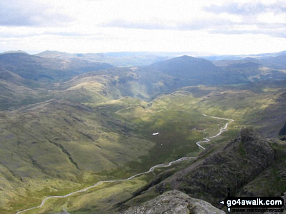
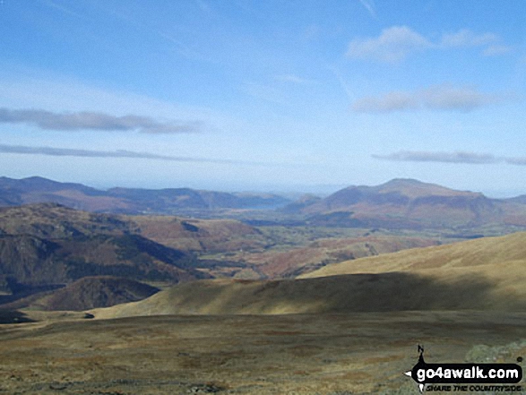
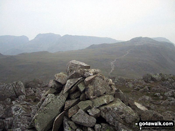
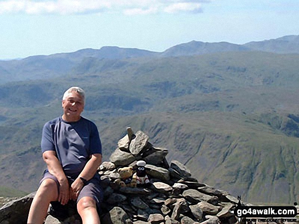
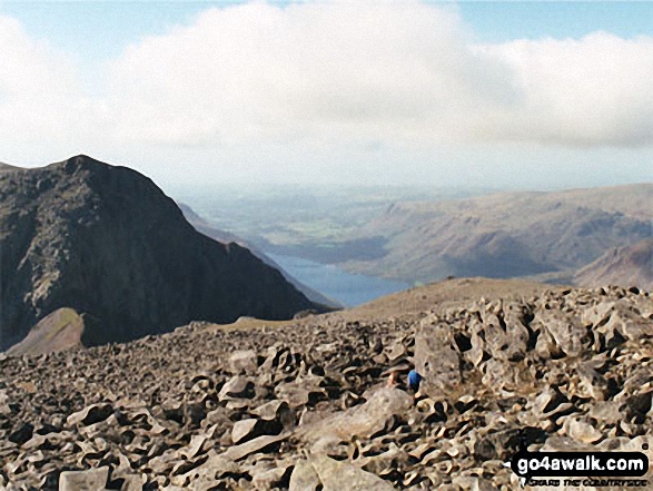 The view from Scafell Pike in The Northern Fells area of The Lake District
Photo: David Cochrane
Is there a Mountain, Peak, Top or Hill missing from the above google map or list?
Let us know an we will add it to our database.


