
![]()
Blaydike Moss
510m (1674ft)
The Southern Dales Area, The Yorkshire Dales, North Yorkshire, England
Not familiar with this top?
See Blaydike Moss and the surrounding tops on our free-to-access 'Google Style' Peak Bagging Maps:
The Southern Dales Area of The Yorkshire Dales National Park
Less data - quicker to download
The Whole of The Yorkshire Dales National Park
More data - might take a little longer to download
See Blaydike Moss and the surrounding tops on our downloadable Peak Bagging Map in PDF format:

NB: Whether you print off a copy or download it to your phone, this PDF Peak Baggers' Map might prove incredibly useful when your are up there on the tops and you cannot get a phone signal.
You can find Blaydike Moss & all the walks that climb it on these unique free-to-access Interactive Walk Planning Maps:
1:25,000 scale OS Explorer Maps (orange/yellow covers):
1:50,000 scale OS Landranger Map (pink/magenta covers):
 Fellow go4awalkers who have already walked, climbed, summited & bagged Blaydike Moss
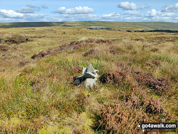
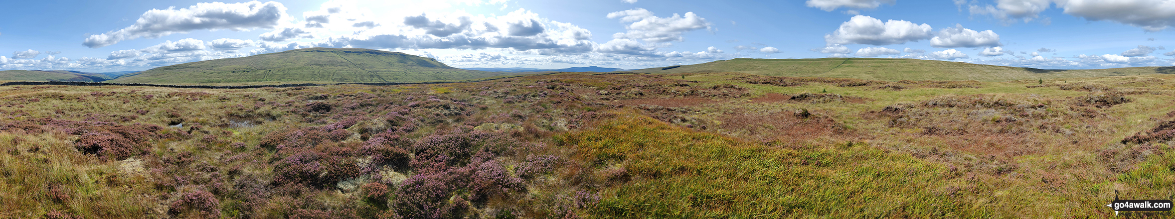
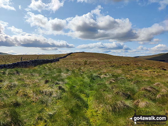
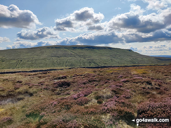
Mark Davidson walked up Blaydike Moss on August 30th, 2023 [from/via/route] Halton Gill > Blakydike Moss > High Green Field Knott > Horse Head > Halton Gill [with] Alone [weather] Dry & warm, some clouds - 1st serious walk for a while. Somehow I'd mislaid the insoles in my boots - by the end my feet were really sore.
Tony Rogerson climbed Blaydike Moss on August 29th, 2016 [from/via/route] Halton Gill Nether Hesleden Foxup Blaydike Moss Cosh Beck Foxup Bridge Halton Gill [with] Caz Floss [weather] Sunny & warm
To add (or remove) your name and experiences on this page - Log On and edit your Personal Mountain Bagging Record
More Photographs & Pictures of views from, on or of Blaydike Moss
Send us your photographs and pictures on, of, or from Blaydike Moss
If you would like to add your walk photographs and pictures featuring views from, on or of Blaydike Moss to this page, please send them as email attachments (configured for any computer) along with your name to:
and we shall do our best to publish them.
(Guide Resolution = 300dpi. At least = 660pixels (wide) x 440 pixels (high).)

You can also submit photos via our Facebook Page.
NB. Please indicate where each photo was taken and whether you wish us to credit your photos with a Username or your First Name/Last Name.
Not familiar with this top?


