   |
Vital Statistics:
| Length: | 7½mls (12km) |
| Ascent: | 909ft (277m) |
| Time: | 3¾hrs |
| Grade: |  |
Route outline for walk ny115:
Street Gate - Gordale Beck - East Great Close - Clapham High Mark - Lee Gate High Mark - Rabbit Rock - Proctor High Mark - Tommy High Pasture - Mastiles Lane - Street Gate
Peaks, Summits and Tops reached on this walk:
 0 English Mountains |
 0 Wainwrights |
 0 English Nuttalls |
 1 English Dewey |
 0 Wainwright Outlying Fells |
 0 Marilyns |
 0 Bridgets |
Peak Bagging Statistics for this walk:
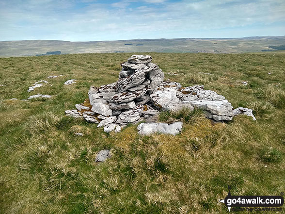
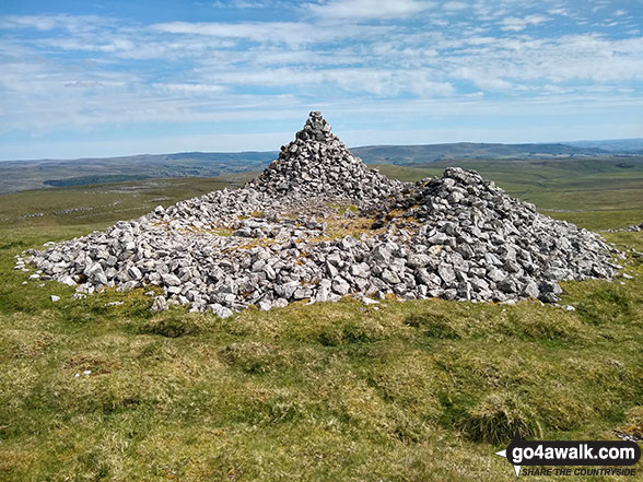
The highest point of this walk is Proctor High Mark at 531m (1743ft). Proctor High Mark is also known as an English Dewey (112th highest in England, 261st in England & Wales)
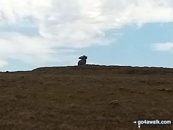
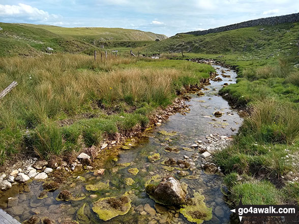
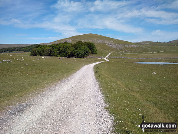
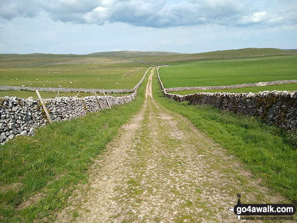
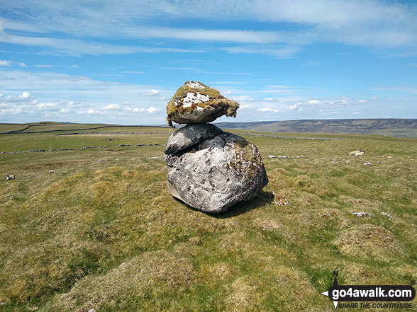
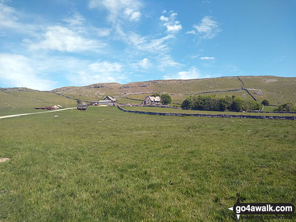
Some Photos and Pictures from Walk ny115 Proctor High Mark from Street Gate
In no particular order . . .
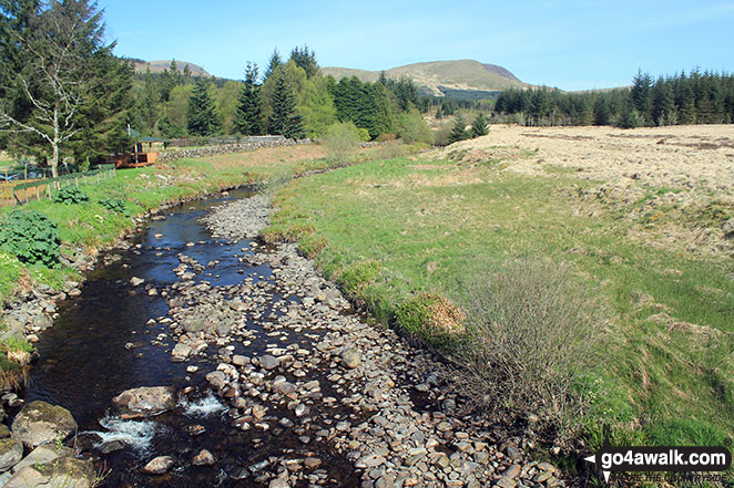
Polifferie Burn from Craigengillan Bridge with Moorbrock Hill in the distance
Send us your photographs and pictures from your walks and hikes
We would love to see your photographs and pictures from walk ny115 Proctor High Mark from Street Gate. Send them in to us as email attachments (configured for any computer) along with your name and where the picture was taken to:
and we shall do our best to publish them.
(Guide Resolution = 300dpi. At least = 660 pixels (wide) x 440 pixels (high).)

You can also submit photos from walk ny115 Proctor High Mark from Street Gate via our Facebook Page.
NB. Please indicate where each photo was taken.


