
![]()
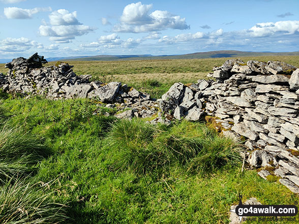
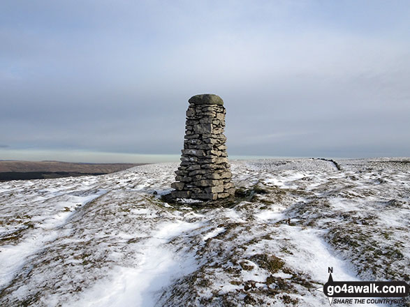
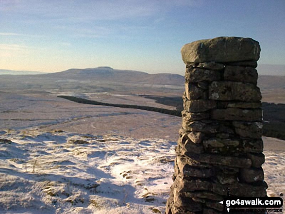
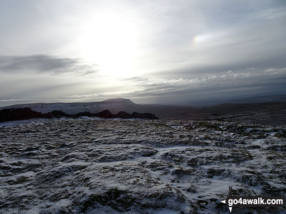
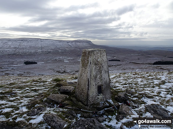
High Green Field Knott (Cosh Knott)
602m (1975ft)
The Southern Dales Area, The Yorkshire Dales, North Yorkshire, England /England
Not familiar with this top?
   |
|---|
Vital Statistics:
| Length: | 10.5ml (17km) |
|---|---|
| Ascent: | 1,566ft (477m) |
| Time: | 5½ hrs |
| Grade: |  (Moderate) (Moderate) |
Route Summary:
Horton In Ribblesdale - The Pennine Way - Sell Gill Holes - Sell Gill Beck - Red Moss Pot - Birkwith Moor - Birkwith Common - Green Haw Moor - Cosh Knott Well - Cosh Outside (Cosh Knott) - High Green Field Knott (Cosh Knott) - Cosh Beck Head - Lante Shop Caves - Cosh Water Gap - Black Banks - Turpen Horton Moor - Hull Pot Beck - Hull Pot - Hunt Pot - Horton Scar Lane - Horton In Ribblesdale
See High Green Field Knott (Cosh Knott) and the surrounding tops on our free-to-access 'Google Style' Peak Bagging Maps:
The Southern Dales Area of The Yorkshire Dales National Park
Less data - quicker to download
The Whole of The Yorkshire Dales National Park
More data - might take a little longer to download
See High Green Field Knott (Cosh Knott) and the surrounding tops on our downloadable Peak Bagging Map in PDF format:

NB: Whether you print off a copy or download it to your phone, this PDF Peak Baggers' Map might prove incredibly useful when your are up there on the tops and you cannot get a phone signal.
You can find High Green Field Knott (Cosh Knott) & all the walks that climb it on these unique free-to-access Interactive Walk Planning Maps:
1:25,000 scale OS Explorer Maps (orange/yellow covers):
1:50,000 scale OS Landranger Map (pink/magenta covers):
 Fellow go4awalkers who have already walked, climbed, summited & bagged High Green Field Knott (Cosh Knott)
Mark Davidson walked up High Green Field Knott (Cosh Knott) on October 17th, 2006 [from/via/route] Walk ny146 High Green Field Knott (Cosh Knott) from Horton in Ribblesdale [with] MK [weather] Quite nice October day
Christine Shepherd climbed High Green Field Knott (Cosh Knott) on January 18th, 2019 [from/via/route] Walked from Horton in Ribblesdale [with] On my own [weather] Cold winter sun in the morning but it was sleeting by the time I was on the last leg. - This walk is boggy in places especially from the summit down to Swarth Gill Gate. I was lucky today though; the bogs were frozen so my feet stayed relatively dry.
Tony Rogerson bagged High Green Field Knott (Cosh Knott) on June 13th, 2015 [from/via/route] Halton Gill Foxup & Great Pasture [with] Darren Floss Robbie & Ruby [weather] Hazy
Patrick Rogozinski has walked, climbed & bagged High Green Field Knott (Cosh Knott).
To add (or remove) your name and experiences on this page - Log On and edit your Personal Mountain Bagging Record
More Photographs & Pictures of views from, on or of High Green Field Knott (Cosh Knott)
Send us your photographs and pictures on, of, or from High Green Field Knott (Cosh Knott)
If you would like to add your walk photographs and pictures featuring views from, on or of High Green Field Knott (Cosh Knott) to this page, please send them as email attachments (configured for any computer) along with your name to:
and we shall do our best to publish them.
(Guide Resolution = 300dpi. At least = 660pixels (wide) x 440 pixels (high).)

You can also submit photos via our Facebook Page.
NB. Please indicate where each photo was taken and whether you wish us to credit your photos with a Username or your First Name/Last Name.
Not familiar with this top?


