The North West region of England - a fully detailed list of all the Mountains, Peaks, Tops and Hills (Page 1 of 11)
The North West region of England comprises the traditional counties of Cheshire, Cumbria, Greater Manchester, Lancashire and Mersyside and includes The Lake District National Park, The Forest of Bowland, parts of The Yorkshire Dales National Park and parts of the Peak District National Park.
If you include all the Mountains (Hewitts), the Deweys, the Nuttalls and the Marilyns there are 325 tops to climb, bag & conquer and the highest point is Scafell Pike at 978m (3,210ft).
To see these Mountains, Peaks, Tops and Hills displayed in different ways - see the options in the left-hand column and towards the bottom of this page.
![]() Your Personal Bagging Record for North West
Your Personal Bagging Record for North West
LOG ON and RELOAD this page to show which Mountains, Peaks, Tops and Hills you have already climbed, bagged & conquered [. . . more details]
See this list in: Alphabetical Order‡
| Height Order
To reverse the order select the link again.
Mountain, Peak, Top or Hill:
Bagged

![]()
1. Allen Crags
785m (2,576ft)
Allen Crags is on interactive maps:
Allen Crags is on downloadable PDF you can Print or Save to your Phone: *Version including the walk routes marked on it that you need to follow to Walk all 214 Wainwrights in just 59 walks. |

![]()
2. Ancrow Brow (Swinklebank Crag)
555m (1,822ft)
Ancrow Brow (Swinklebank Crag) is on interactive maps:
A downloadable go4awalk.com PDF Peak Bagging Map featuring Ancrow Brow (Swinklebank Crag) will be available soon. |
![]()
3. Angletarn Pikes
567m (1,861ft)
Angletarn Pikes is on interactive maps:
Angletarn Pikes is on downloadable PDF you can Print or Save to your Phone: *Version including the walk routes marked on it that you need to follow to Walk all 214 Wainwrights in just 59 walks. |
![]()
4. Arant Haw
605m (1,985ft)
Arant Haw is on interactive maps:
Arant Haw is on downloadable PDF you can Print or Save to your Phone: |

![]()
5. Archy Styrigg (Gregory Chapel)
695m (2,280ft)
Archy Styrigg (Gregory Chapel) is on interactive maps:
Archy Styrigg (Gregory Chapel) is on downloadable PDF you can Print or Save to your Phone: |
![]()
6. Ard Crags
581m (1,906ft)
Ard Crags is on interactive maps:
Ard Crags is on downloadable PDF you can Print or Save to your Phone: *Version including the walk routes marked on it that you need to follow to Walk all 214 Wainwrights in just 59 walks. |

![]()
7. Arnside Knott
159m (522ft)
Arnside Knott is on interactive maps:
Arnside Knott is on downloadable PDF you can Print or Save to your Phone: |
![]()
8. Atkinson Pike
845m (2,773ft)
Atkinson Pike is on interactive maps:
Atkinson Pike is on downloadable PDF you can Print or Save to your Phone: *Version including the walk routes marked on it that you need to follow to Walk all 214 Wainwrights in just 59 walks. |

![]()
9. Aye Gill Pike
556m (1,824ft)
Aye Gill Pike is on interactive maps:
Aye Gill Pike is on downloadable PDF you can Print or Save to your Phone: |
![]()
10. Backstone Edge (Dufton Fell)
699m (2,294ft)
Backstone Edge (Dufton Fell) is on interactive maps:
Backstone Edge (Dufton Fell) is on downloadable PDF you can Print or Save to your Phone: |
![]()
11. Bannerdale Crags
683m (2,242ft)
Bannerdale Crags is on interactive maps:
Bannerdale Crags is on downloadable PDF you can Print or Save to your Phone: *Version including the walk routes marked on it that you need to follow to Walk all 214 Wainwrights in just 59 walks. |
![]()
12. Base Brown
646m (2,120ft)
Base Brown is on interactive maps:
Base Brown is on downloadable PDF you can Print or Save to your Phone: *Version including the walk routes marked on it that you need to follow to Walk all 214 Wainwrights in just 59 walks. |

![]()
13. Baugh Fell (Tarn Rigg Hill)
678m (2,225ft)
Baugh Fell (Tarn Rigg Hill) is on interactive maps:
Baugh Fell (Tarn Rigg Hill) is on downloadable PDF you can Print or Save to your Phone: |
![]()
14. Beda Head (Beda Fell)
509m (1,671ft)
Beda Head (Beda Fell) is on interactive maps:
Beda Head (Beda Fell) is on downloadable PDF you can Print or Save to your Phone: *Version including the walk routes marked on it that you need to follow to Walk all 214 Wainwrights in just 59 walks. |
![]()
15. Bell Crags (Watendlath Fell)
558m (1,831ft)
Bell Crags (Watendlath Fell) is on interactive maps:
Bell Crags (Watendlath Fell) is on downloadable PDF you can Print or Save to your Phone: *Version including the walk routes marked on it that you need to follow to Walk all 214 Wainwrights in just 59 walks. |
![]()
16. Bellbeaver Rigg (Tynehead Fell)
620m (2,035ft)
Bellbeaver Rigg (Tynehead Fell) is on interactive maps:
Bellbeaver Rigg (Tynehead Fell) is on downloadable PDF you can Print or Save to your Phone: |
![]()
17. Billinge Hill
179m (587ft)
Billinge Hill is on interactive maps:
Billinge Hill is on downloadable PDF you can Print or Save to your Phone: |
![]()
18. Binsey
447m (1,467ft)
Binsey is on interactive maps:
Binsey is on downloadable PDF you can Print or Save to your Phone: *Version including the walk routes marked on it that you need to follow to Walk all 214 Wainwrights in just 59 walks. |
![]()
19. Birkhouse Moor
718m (2,356ft)
Birkhouse Moor is on interactive maps:
Birkhouse Moor is on downloadable PDF you can Print or Save to your Phone: *Version including the walk routes marked on it that you need to follow to Walk all 214 Wainwrights in just 59 walks. |
![]()
20. Birks
624m (2,047ft)
Birks is on interactive maps:
Birks is on downloadable PDF you can Print or Save to your Phone: *Version including the walk routes marked on it that you need to follow to Walk all 214 Wainwrights in just 59 walks. |
![]()
21. Black Combe
600m (1,969ft)
Black Combe is on interactive maps:
A downloadable go4awalk.com PDF Peak Bagging Map featuring Black Combe will be available soon. |
![]()
22. Black Crag (Pillar)
828m (2,717ft)
Black Crag (Pillar) is on interactive maps:
Black Crag (Pillar) is on downloadable PDF you can Print or Save to your Phone: *Version including the walk routes marked on it that you need to follow to Walk all 214 Wainwrights in just 59 walks. |
![]()
23. Black Crags (Langdale)
588m (1,929ft)
Black Crags (Langdale) is on interactive maps:
Black Crags (Langdale) is on downloadable PDF you can Print or Save to your Phone: *Version including the walk routes marked on it that you need to follow to Walk all 214 Wainwrights in just 59 walks. |
![]()
24. Black Fell (Haresceugh Fell)
664m (2,179ft)
Black Fell (Haresceugh Fell) is on interactive maps:
Black Fell (Haresceugh Fell) is on downloadable PDF you can Print or Save to your Phone: |
![]()
25. Black Sails
745m (2,445ft)
Black Sails is on interactive maps:
Black Sails is on downloadable PDF you can Print or Save to your Phone: *Version including the walk routes marked on it that you need to follow to Walk all 214 Wainwrights in just 59 walks. |
![]()
26. Blake Fell
573m (1,881ft)
Blake Fell is on interactive maps:
Blake Fell is on downloadable PDF you can Print or Save to your Phone: *Version including the walk routes marked on it that you need to follow to Walk all 214 Wainwrights in just 59 walks. |
![]()
27. Bleaberry Fell
590m (1,936ft)
Bleaberry Fell is on interactive maps:
Bleaberry Fell is on downloadable PDF you can Print or Save to your Phone: *Version including the walk routes marked on it that you need to follow to Walk all 214 Wainwrights in just 59 walks. |
![]()
28. Blencathra or Saddleback (Hallsfell Top)
868m (2,849ft)
Blencathra or Saddleback (Hallsfell Top) is on interactive maps:
Blencathra or Saddleback (Hallsfell Top) is on downloadable PDF you can Print or Save to your Phone: *Version including the walk routes marked on it that you need to follow to Walk all 214 Wainwrights in just 59 walks. |
![]()
29. Blotting Raise (Croglin Fell)
591m (1,940ft)
Send it in and we'll publish it here.
Blotting Raise (Croglin Fell) is on interactive maps:
Blotting Raise (Croglin Fell) is on downloadable PDF you can Print or Save to your Phone: |
![]()
30. Bow Fell (Bowfell)
902m (2,960ft)
Bow Fell (Bowfell) is on interactive maps:
Bow Fell (Bowfell) is on downloadable PDF you can Print or Save to your Phone: *Version including the walk routes marked on it that you need to follow to Walk all 214 Wainwrights in just 59 walks. |
View these 325 Mountains, Peaks, Tops and Hills:
- On an Interactive Google Map (loads faster)
- On an Interactive Google Map with a list of tops below it.
(makes it easier to locate a particular top) - On a Detailed List in:
Alphabetical Order | Height Order - On one page with 'yet-to-be-bagged' listed 1st & then 'already-bagged' tops listed 2nd in:
Alphabetical Order | Height Order - On one page with 'already-bagged' tops listed 1st & then 'yet-to-be-bagged' tops listed 2nd in:
Alphabetical Order | Height Order
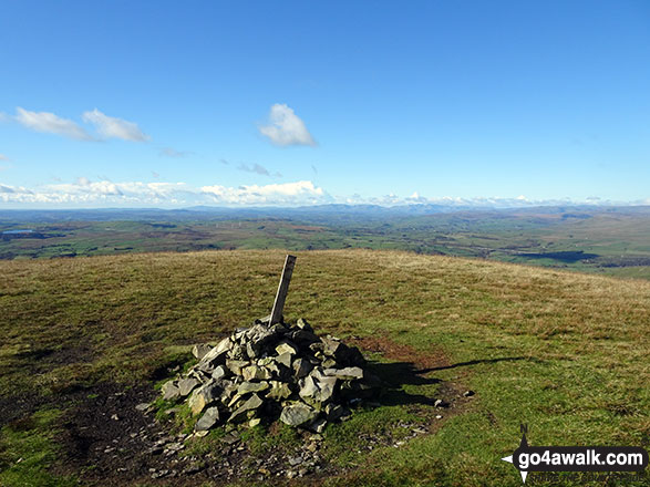
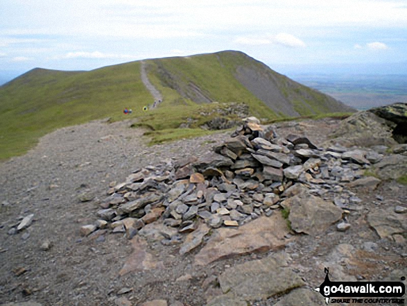
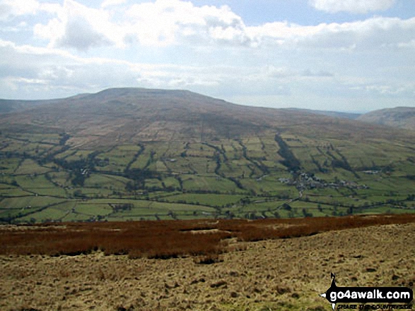
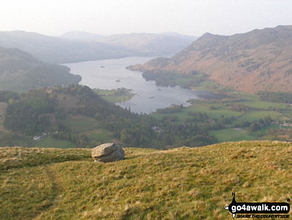
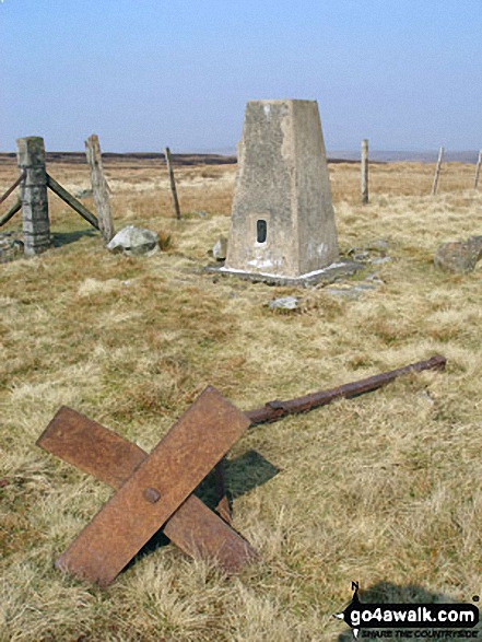
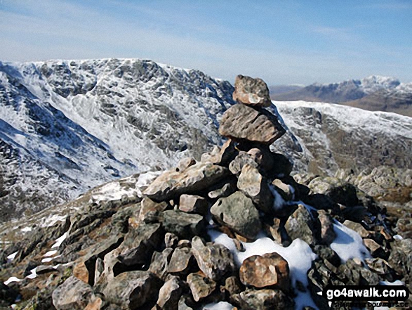
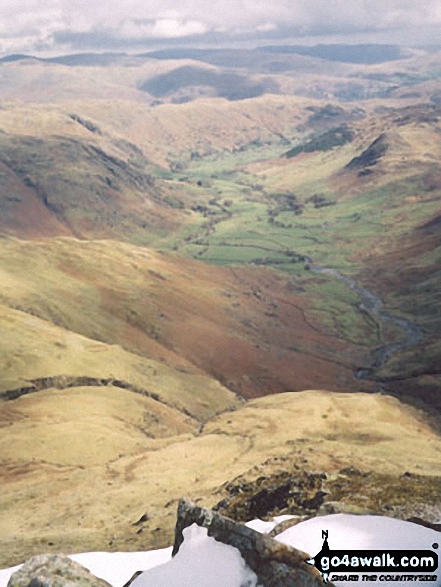
 The view from Scafell Pike in The Southern Fells area of The Lake District
Photo: David Cochrane
Is there a Mountain, Peak, Top or Hill missing from the above google map or list?
Let us know an we will add it to our database.

To contribute to go4awalk.com or to contact us about anything at all - see Talk To Us.
For help see Help.
go4awalk.com and go4awalk.co.uk are registered trademarks of TMDH Limited.
Copyright © 2000-2025 TMDH Limited. All rights reserved.
Copyright Terms & Conditions Privacy Statement
A - Z Walks Home Log On/Accounts Photo Gallery Walk Ideas and Collections Fell Facts Hill Skills Walking Questions and Answers Your Stories News Competitions Product Reviews/Gear Tests Walking Gear Guides Peaks and Mountains Peak Bagging Find New Walking Friends Camping GPS Waypoints for Walking Contents Walk Search Talk To Us go4awalk.com Help Free Example Walks Newsletter


