Bellbeaver Rigg (Tynehead Fell)
620m (2035ft)
The North Pennines, Cumbria, England
Tap/mouse over a coloured circle (1-3 easy walks, 4-6 moderate walks, 7-9 hard walks) and click to select.
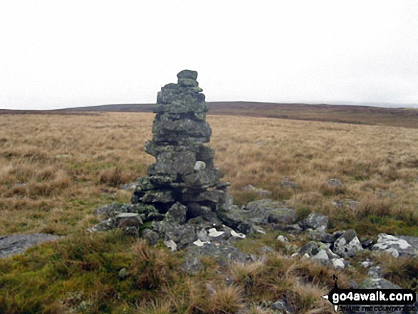
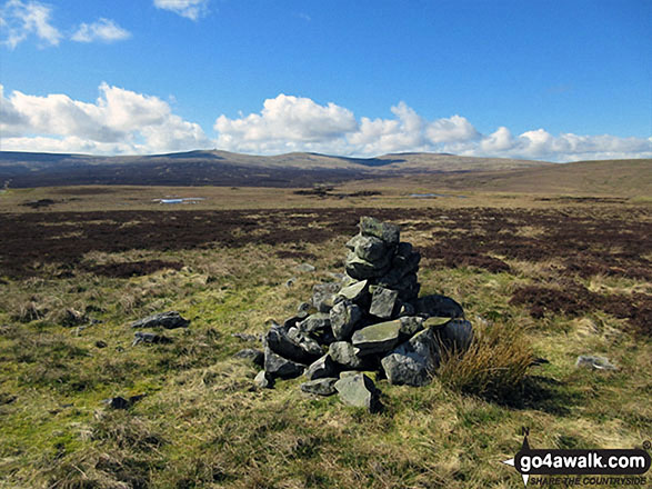
The summit of Bellbeaver Rigg (Tynehead Fell) is marked by a large cairn.
Not familiar with this top?
See Bellbeaver Rigg (Tynehead Fell) and the surrounding tops on our free-to-access 'Google Style' Peak Bagging Map:
The North Pennines
Less data - quicker to download
See Bellbeaver Rigg (Tynehead Fell) and the surrounding tops on our downloadable Peak Bagging Map in PDF format:
NB: Whether you print off a copy or download it to your phone, this PDF Peak Baggers' Map might prove incredibly useful when your are up there on the tops and you cannot get a phone signal.
You can find Bellbeaver Rigg (Tynehead Fell) & all the walks that climb it on these unique free-to-access Interactive Walk Planning Maps:
1:25,000 scale OS Explorer Map (orange/yellow covers):
1:50,000 scale OS Landranger Map (pink/magenta covers):
 Fellow go4awalkers who have already walked, climbed, summited & bagged Bellbeaver Rigg (Tynehead Fell)
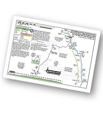
Mark Davidson walked up Bellbeaver Rigg (Tynehead Fell) on October 25th, 2012 [from/via/route] Walk c443 Round Hill & Bellbeaver Rigg from Garrigill [with] Alone [weather] Wet & miserable - loved it!
Angela Moroney climbed Bellbeaver Rigg (Tynehead Fell) on May 18th, 2021 [from/via/route] kirkstone [with] Jane ludders [weather] sun wind
Darren Mortimer bagged Bellbeaver Rigg (Tynehead Fell) on March 30th, 2019 [from/via/route] Garrigill using walk c443 [with] Dermot Palmer [weather] overcast. no rain - What a bloody awful walk this is. Starts out so nice too. Peak bagging & nothing more.
Kevin Foster summited Bellbeaver Rigg (Tynehead Fell) on May 19th, 2018 [from/via/route] Garrigill. [with] Henry. [weather] Sunny. - The first section of the walk, which followed the infant river Tyne as it cascaded over waterfalls & through narrow wooded gorges, was lovely & made this a walk I'll certainly remember. In complete contrast the next section left the South Tyne trail to head up over pathless heather & grass moorland to the top of the fell, which from its other name (Tynehead Fell) must be the source of the river South Tyne although the very dry conditions meant I did not see the source. The top itself has two large cairns, about 200 m apart, the westerly one being slightly higher, I think. The views give a real sense of remoteness, distant fells in every direction across miles of desolate moorland. These northern pennine hills, even on a sunny day, give you a real wilderness feel & appear to be hardly visited at all.
Christine Shepherd conquered Bellbeaver Rigg (Tynehead Fell) on April 2nd, 2017 [from/via/route] Walked from Garrigill using walk c443 [with] On my own [weather] Glorious spring sunshine with a light breeze. - Wonderful views from this summit especially towards Cross Fell.
Ray O'hara scaled Bellbeaver Rigg (Tynehead Fell) on June 25th, 2013 [from/via/route] Straight out & back walk from B6277 [weather] ok - Not too bad, nice views, some attempt at drainage out there so the bogs weren't too bad.
To add (or remove) your name and experiences on this page - Log On and edit your Personal Mountain Bagging Record
More Photographs & Pictures of views from, on or of Bellbeaver Rigg (Tynehead Fell)
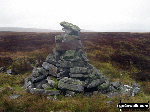
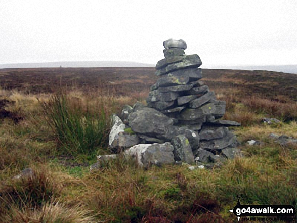
The 'other' summit cairn on Bellbeaver Rigg (Tynehead Fell) about 200m to the South East of the true summit
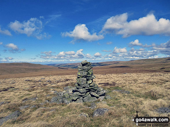
The tall marker cairn on the summit of Bellbeaver Rigg (Tynehead Fell)
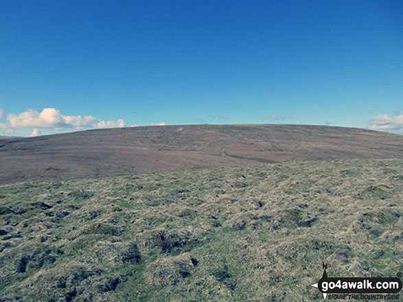
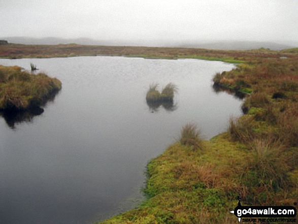
Round Hill (Tyne Head) from the descent off Bellbeaver Rigg (Tynehead Fell)
Send us your photographs and pictures on, of, or from Bellbeaver Rigg (Tynehead Fell)
If you would like to add your walk photographs and pictures featuring views from, on or of Bellbeaver Rigg (Tynehead Fell) to this page, please send them as email attachments (configured for any computer) along with your name to:
and we shall do our best to publish them.
(Guide Resolution = 300dpi. At least = 660pixels (wide) x 440 pixels (high).)
You can also submit photos via our Facebook Page.
NB. Please indicate where each photo was taken and whether you wish us to credit your photos with a Username or your First Name/Last Name.
Not familiar with this top?
 (Moderate)
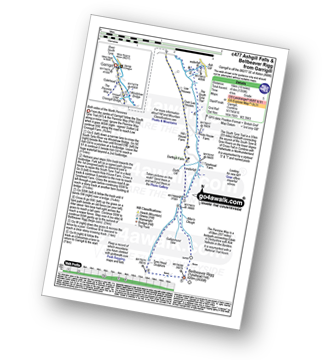
 (Moderate)
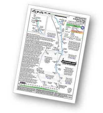
 (Hard)