The North West region of England - a fully detailed list of all the Mountains, Peaks, Tops and Hills (Page 1 of 11)
The North West region of England comprises the traditional counties of Cheshire, Cumbria, Greater Manchester, Lancashire and Mersyside and includes The Lake District National Park, The Forest of Bowland, parts of The Yorkshire Dales National Park and parts of the Peak District National Park.
If you include all the Mountains (Hewitts), the Deweys, the Nuttalls and the Marilyns there are 325 tops to climb, bag & conquer and the highest point is Scafell Pike at 978m (3,210ft).
To see these Mountains, Peaks, Tops and Hills displayed in different ways - see the options in the left-hand column and towards the bottom of this page.
![]() Your Personal Bagging Record for North West
Your Personal Bagging Record for North West
LOG ON and RELOAD this page to show which Mountains, Peaks, Tops and Hills you have already climbed, bagged & conquered [. . . more details]
See this list in: Alphabetical Order‡
| Height Order
To reverse the order select the link again.
Mountain, Peak, Top or Hill:
Bagged

![]()
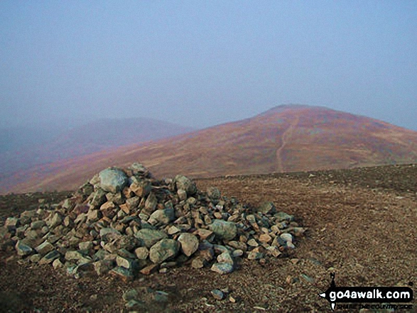
1. Yoke
706m (2,317ft)
Yoke is on interactive maps:
Yoke is on downloadable PDF you can Print or Save to your Phone: *Version including the walk routes marked on it that you need to follow to Walk all 214 Wainwrights in just 59 walks. |
![]()
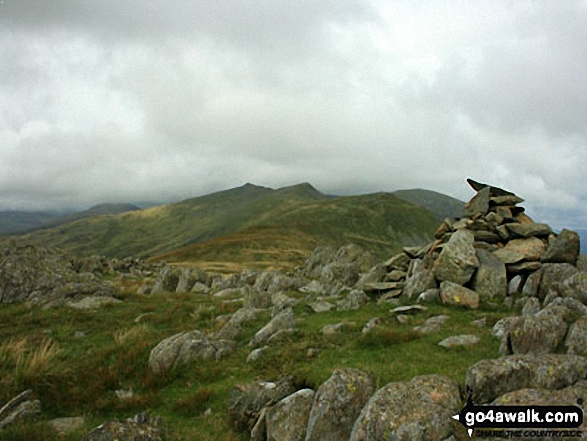
2. Yewbarrow (North Top)
616m (2,023ft)
Yewbarrow (North Top) is on interactive maps:
Yewbarrow (North Top) is on downloadable PDF you can Print or Save to your Phone: *Version including the walk routes marked on it that you need to follow to Walk all 214 Wainwrights in just 59 walks. |
![]()
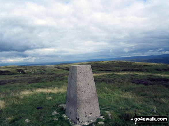
3. Yewbarrow
628m (2,062ft)
Yewbarrow is on interactive maps:
Yewbarrow is on downloadable PDF you can Print or Save to your Phone: *Version including the walk routes marked on it that you need to follow to Walk all 214 Wainwrights in just 59 walks. |

![]()
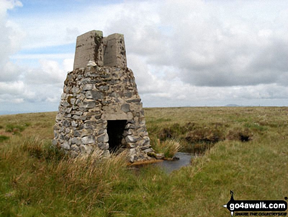
4. Yarlside
639m (2,097ft)
Yarlside is on interactive maps:
Yarlside is on downloadable PDF you can Print or Save to your Phone: |

![]()
5. Wolfhole Crag
528m (1,733ft)
Wolfhole Crag is on interactive maps:
Wolfhole Crag is on downloadable PDF you can Print or Save to your Phone: |
![]()
6. Wold Fell (Wold Fell Top)
558m (1,831ft)
Wold Fell (Wold Fell Top) is on interactive maps:
Wold Fell (Wold Fell Top) is on downloadable PDF you can Print or Save to your Phone: |

![]()
7. Winter Hill (Rivington Moor)
456m (1,497ft)
Winter Hill (Rivington Moor) is on interactive maps:
Winter Hill (Rivington Moor) is on downloadable PDF you can Print or Save to your Phone: |
![]()
8. Wild Boar Fell
708m (2,323ft)
Wild Boar Fell is on interactive maps:
Wild Boar Fell is on downloadable PDF you can Print or Save to your Phone: |

![]()
9. Whitfell (Whit Fell)
573m (1,880ft)
Whitfell (Whit Fell) is on interactive maps:
A downloadable go4awalk.com PDF Peak Bagging Map featuring Whitfell (Whit Fell) will be available soon. |

![]()
10. Whiteside (Crummock) (West Top)
707m (2,320ft)
Whiteside (Crummock) (West Top) is on interactive maps:
Whiteside (Crummock) (West Top) is on downloadable PDF you can Print or Save to your Phone: *Version including the walk routes marked on it that you need to follow to Walk all 214 Wainwrights in just 59 walks. |
![]()
11. Whiteside (Crummock)
719m (2,360ft)
Whiteside (Crummock) is on interactive maps:
Whiteside (Crummock) is on downloadable PDF you can Print or Save to your Phone: *Version including the walk routes marked on it that you need to follow to Walk all 214 Wainwrights in just 59 walks. |
![]()
12. Whiteless Pike
660m (2,166ft)
Whiteless Pike is on interactive maps:
Whiteless Pike is on downloadable PDF you can Print or Save to your Phone: *Version including the walk routes marked on it that you need to follow to Walk all 214 Wainwrights in just 59 walks. |
![]()
13. White Side
863m (2,832ft)
White Side is on interactive maps:
White Side is on downloadable PDF you can Print or Save to your Phone: *Version including the walk routes marked on it that you need to follow to Walk all 214 Wainwrights in just 59 walks. |
![]()
14. White Maiden
612m (2,010ft)
White Maiden is on interactive maps:
A downloadable go4awalk.com PDF Peak Bagging Map featuring White Maiden will be available soon. |
![]()
15. White Howe (Bannisdale)
530m (1,739ft)
White Howe (Bannisdale) is on interactive maps:
A downloadable go4awalk.com PDF Peak Bagging Map featuring White Howe (Bannisdale) will be available soon. |
![]()
16. White Hill (Forest of Bowland)
544m (1,785ft)
White Hill (Forest of Bowland) is on interactive maps:
White Hill (Forest of Bowland) is on downloadable PDF you can Print or Save to your Phone: |
![]()
17. Whinlatter (Whinlatter Top)
525m (1,723ft)
Whinlatter (Whinlatter Top) is on interactive maps:
Whinlatter (Whinlatter Top) is on downloadable PDF you can Print or Save to your Phone: *Version including the walk routes marked on it that you need to follow to Walk all 214 Wainwrights in just 59 walks. |
![]()
18. Whin Rigg
535m (1,756ft)
Whin Rigg is on interactive maps:
Whin Rigg is on downloadable PDF you can Print or Save to your Phone: *Version including the walk routes marked on it that you need to follow to Walk all 214 Wainwrights in just 59 walks. |
![]()
19. Whetstone Ridge
547m (1,795ft)
Whetstone Ridge is on interactive maps:
Whetstone Ridge is on downloadable PDF you can Print or Save to your Phone: |
![]()
20. Wetherlam
763m (2,504ft)
Wetherlam is on interactive maps:
Wetherlam is on downloadable PDF you can Print or Save to your Phone: *Version including the walk routes marked on it that you need to follow to Walk all 214 Wainwrights in just 59 walks. |
![]()
21. Wether Hill (South Top)
674m (2,212ft)
Wether Hill (South Top) is on interactive maps:
Wether Hill (South Top) is on downloadable PDF you can Print or Save to your Phone: *Version including the walk routes marked on it that you need to follow to Walk all 214 Wainwrights in just 59 walks. |
![]()
22. West Fell
542m (1,779ft)
West Fell is on interactive maps:
West Fell is on downloadable PDF you can Print or Save to your Phone: |
![]()
23. Wandope
773m (2,539ft)
Wandope is on interactive maps:
Wandope is on downloadable PDF you can Print or Save to your Phone: *Version including the walk routes marked on it that you need to follow to Walk all 214 Wainwrights in just 59 walks. |
![]()
24. Walna Scar
621m (2,038ft)
Walna Scar is on interactive maps:
A downloadable go4awalk.com PDF Peak Bagging Map featuring Walna Scar will be available soon. |
![]()
25. Ullscarf
723m (2,372ft)
Ullscarf is on interactive maps:
Ullscarf is on downloadable PDF you can Print or Save to your Phone: *Version including the walk routes marked on it that you need to follow to Walk all 214 Wainwrights in just 59 walks. |
![]()
26. Ullister Hill
525m (1,723ft)
Ullister Hill is on interactive maps:
Ullister Hill is on downloadable PDF you can Print or Save to your Phone: *Version including the walk routes marked on it that you need to follow to Walk all 214 Wainwrights in just 59 walks. |
![]()
27. Uldale Head (Howgills)
532m (1,746ft)
Uldale Head (Howgills) is on interactive maps:
Uldale Head (Howgills) is on downloadable PDF you can Print or Save to your Phone: |
![]()
28. Top o' Selside
335m (1,099ft)
Top o' Selside is on interactive maps:
A downloadable go4awalk.com PDF Peak Bagging Map featuring Top o' Selside will be available soon. |
![]()
29. Tinside Rigg
624m (2,048ft)
Tinside Rigg is on interactive maps:
Tinside Rigg is on downloadable PDF you can Print or Save to your Phone: |
![]()
30. Thunacar Knott
723m (2,373ft)
Thunacar Knott is on interactive maps:
Thunacar Knott is on downloadable PDF you can Print or Save to your Phone: *Version including the walk routes marked on it that you need to follow to Walk all 214 Wainwrights in just 59 walks. |
View these 325 Mountains, Peaks, Tops and Hills:
- On an Interactive Google Map (loads faster)
- On an Interactive Google Map with a list of tops below it.
(makes it easier to locate a particular top) - On a Detailed List in:
Alphabetical Order | Height Order - On one page with 'yet-to-be-bagged' listed 1st & then 'already-bagged' tops listed 2nd in:
Alphabetical Order | Height Order - On one page with 'already-bagged' tops listed 1st & then 'yet-to-be-bagged' tops listed 2nd in:
Alphabetical Order | Height Order
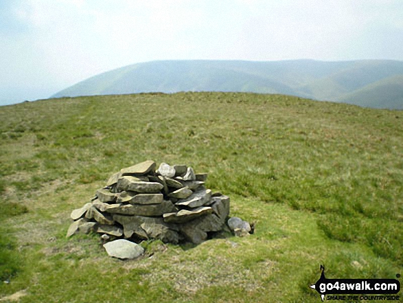
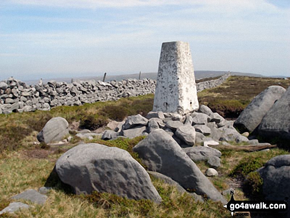
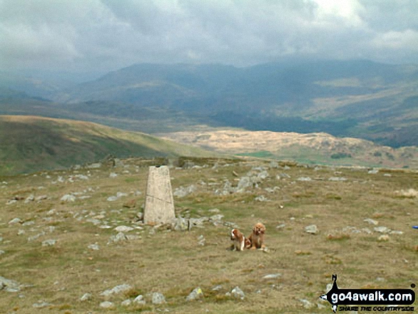
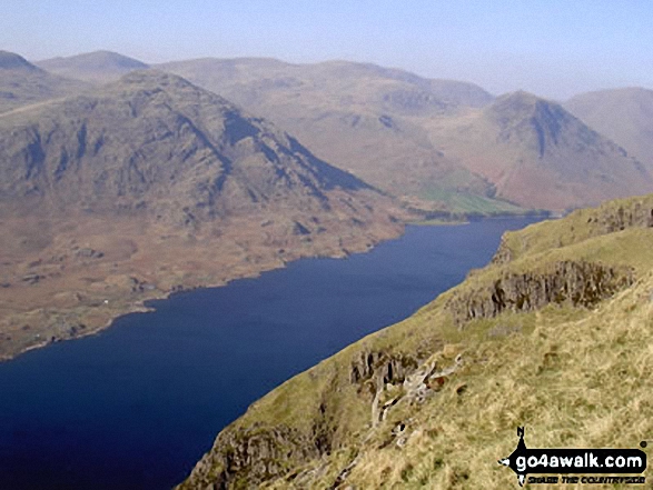
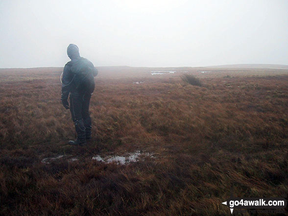
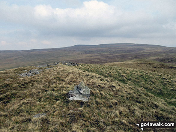
 The view from Scafell Pike in The Central Fells area of The Lake District
Photo: David Cochrane
Is there a Mountain, Peak, Top or Hill missing from the above google map or list?
Let us know an we will add it to our database.

To contribute to go4awalk.com or to contact us about anything at all - see Talk To Us.
For help see Help.
go4awalk.com and go4awalk.co.uk are registered trademarks of TMDH Limited.
Copyright © 2000-2025 TMDH Limited. All rights reserved.
Copyright Terms & Conditions Privacy Statement
A - Z Walks Home Log On/Accounts Photo Gallery Walk Ideas and Collections Fell Facts Hill Skills Walking Questions and Answers Your Stories News Competitions Product Reviews/Gear Tests Walking Gear Guides Peaks and Mountains Peak Bagging Find New Walking Friends Camping GPS Waypoints for Walking Contents Walk Search Talk To Us go4awalk.com Help Free Example Walks Newsletter


