
![]()
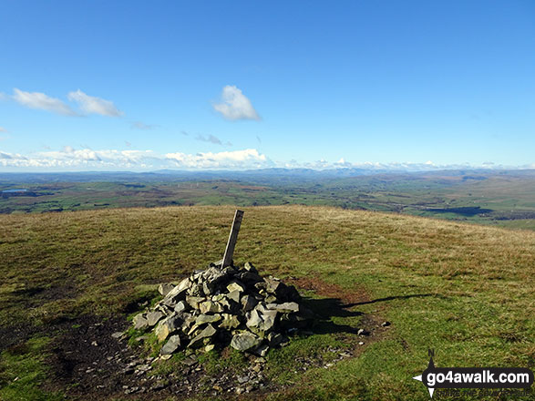
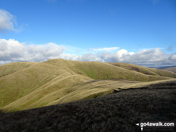
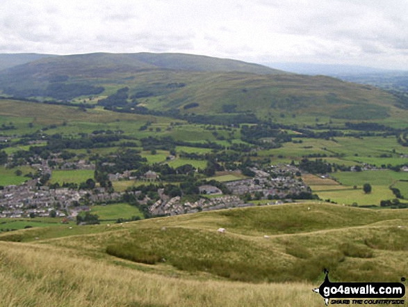
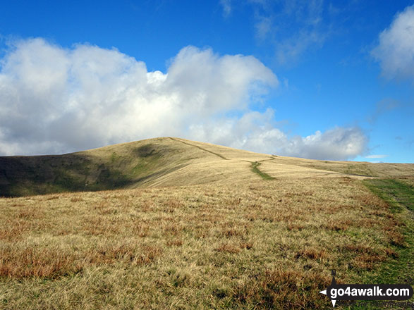
Arant Haw
605m (1985ft)
The Howgill Fells, The Yorkshire Dales, Cumbria, England
Not familiar with this top?
   |
|---|
Vital Statistics:
| Length: | 9.5ml (15km) |
|---|---|
| Ascent: | 3,114ft (949m) |
| Time: | 6½ hrs |
| Grade: |  (Hard) (Hard) |
Route Summary:
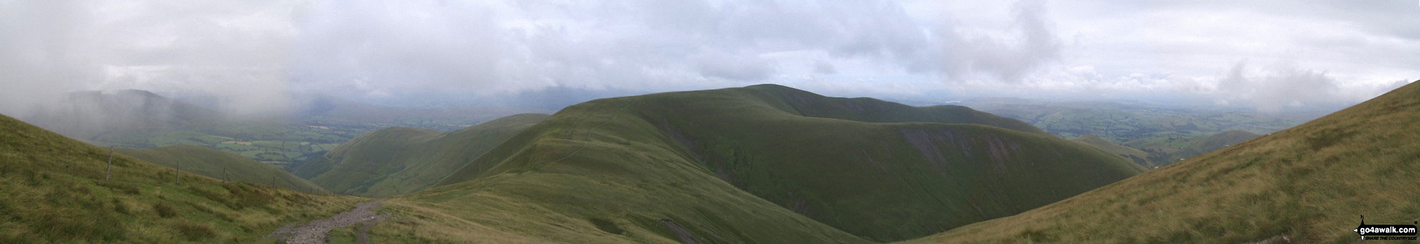
Sedbergh - Settlebeck Gill - Winder Hill - Arant Haw - Calders - Bram Rigg Top - The Calf - White Fell Head - Long Rigg Beck - Ivy Crag - Eller Mire - Crosdale Beck - Nursery Wood - Lockbank Farm - Sedbergh
See Arant Haw and the surrounding tops on our free-to-access 'Google Style' Peak Bagging Maps:
The Howgill Fells Area of The Yorkshire Dales National Park
Less data - quicker to download
The Whole of The Yorkshire Dales National Park
More data - might take a little longer to download
See Arant Haw and the surrounding tops on our downloadable Peak Bagging Map in PDF format:

NB: Whether you print off a copy or download it to your phone, this PDF Peak Baggers' Map might prove incredibly useful when your are up there on the tops and you cannot get a phone signal.
You can find Arant Haw & all the walks that climb it on these unique free-to-access Interactive Walk Planning Maps:
1:25,000 scale OS Explorer Map (orange/yellow covers):
1:50,000 scale OS Landranger Map (pink/magenta covers):
 Fellow go4awalkers who have already walked, climbed, summited & bagged Arant Haw
Mark Davidson has walked up Arant Haw [from/via/route] Walk c307 Arant Haw, Calders & The Calf from Sedbergh
Karen Pecsvaradi climbed Arant Haw on May 12th, 2022 [from/via/route] Sedbergh [with] C307 [weather] Cloudy & windy but dry - Took 5 hours
Adrian Howard bagged Arant Haw on October 29th, 2013 [from/via/route] bagged after Winder.
Christine Shepherd hiked Arant Haw on October 26th, 2018 [from/via/route] Walked from Sedbergh using c307 as a guide but retraced my steps after The Calf & came down over Crook. [with] On my own [weather] Bright Autumn sunshine but a very cold Northerly Wind. - A wonderful walk with amazing views all day.
Tony Rogerson summited Arant Haw on November 9th, 2014 [from/via/route] Sedbergh Winder Arant Haw & Crook [with] Kim & Floss [weather] High cloud
Patrick Rogozinski and Louise Sandwith have both walked, climbed & bagged Arant Haw.
To add (or remove) your name and experiences on this page - Log On and edit your Personal Mountain Bagging Record
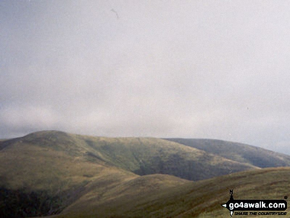
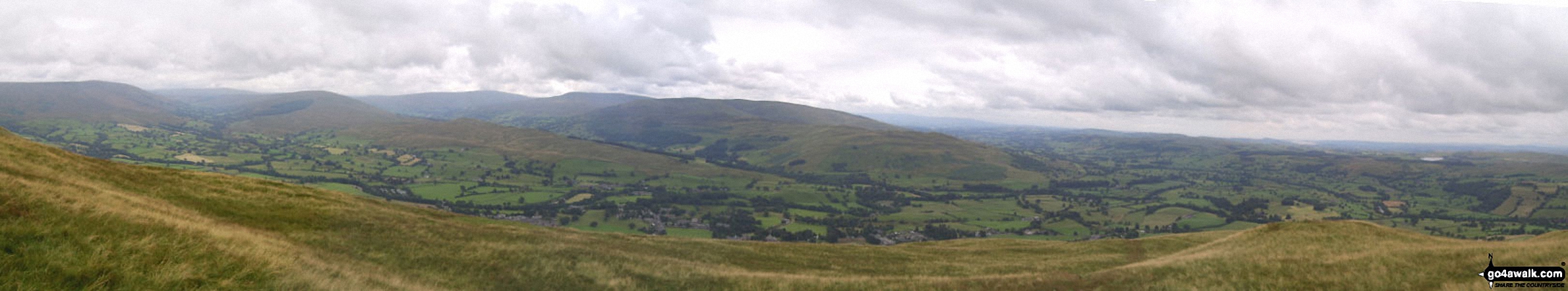
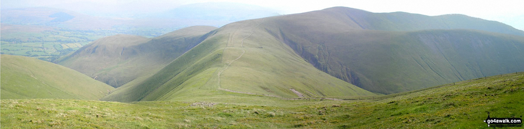
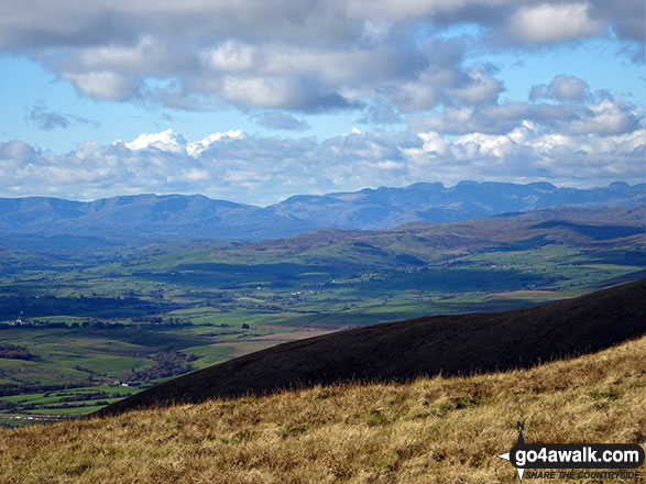
More Photographs & Pictures of views from, on or of Arant Haw
Send us your photographs and pictures on, of, or from Arant Haw
If you would like to add your walk photographs and pictures featuring views from, on or of Arant Haw to this page, please send them as email attachments (configured for any computer) along with your name to:
and we shall do our best to publish them.
(Guide Resolution = 300dpi. At least = 660pixels (wide) x 440 pixels (high).)

You can also submit photos via our Facebook Page.
NB. Please indicate where each photo was taken and whether you wish us to credit your photos with a Username or your First Name/Last Name.
Not familiar with this top?


