
![]()
Great Dun Fell
848m (2783ft)
The North Pennines, Cumbria, England
The summit of Great Dun Fell is marked by an Ordnance Survey Trig Point.
Not familiar with this top?
You can walk/hike to the top of Great Dun Fell by using this easy‑to‑follow route map:
Walk c293 Cross Fell and Great Dun Fell from Garrigill
Cross Fell is the highest point on the Pennine Way
   |
|---|
Vital Statistics:
| Length: | 20ml (32km) |
|---|---|
| Ascent: | 2,905ft (885m) |
| Time: | 10 hrs |
| Grade: |  (Hard) (Hard) |

Route Summary:
Garrigill - The Pennine Way - The South Tyne Trail - Low Crossgill - Ash Gill - Ashgill Force - Hole House Farm - Tynehead Farm - Tyne Head - River Tees - Dunfell Hush - Great Dun Fell - Little Dun Fell - Cross Fell - Skirwith Fell - Yad Stone - Greg's Hut (bothy) - Backstone Edge (Lambgreen Hills) - Long Man Hill - Meg Moffat's Hill - Black Band - Garrigill
See Great Dun Fell and the surrounding tops on our free-to-access 'Google Style' Peak Bagging Map:
The North Pennines
Less data - quicker to download
See Great Dun Fell and the surrounding tops on our unique, downloadable, PDF Peak Bagging Map:

NB: Whether you print off a copy or download it to your phone, this PDF Peak Baggers' Map might prove incredibly useful when your are up there on the tops and you cannot get a phone signal.
You can find Great Dun Fell & all the walks that climb it on these unique free-to-access Interactive Walk Planning Maps:
1:25,000 scale OS Explorer Map (orange/yellow covers):
1:50,000 scale OS Landranger Map (pink/magenta covers):
 Fellow go4awalkers who have already walked, climbed, scaled, summited, hiked & bagged Great Dun Fell
Tia Cain has walked up Great Dun Fell [from/via/route] A random pull in near the bottom! [with] Stewart and the dog [weather] Perfectly clear & dry - Same day as Great Dun, Little Dun & Cross fell
Mark Smith climbed it on August 19th, 2010 [from/via/route] pennine way [weather] hot & sunny
Caroline Winter bagged it on August 25th, 2021 [from/via/route] Town End Farm Knock, Knock Fell, Great Dun Fell, Little Dun Fell, PW [with] Becky [weather] Very Warm day & humid - Entrance closed with cones, & warnings not to enter. Cyclist appeared, & had cycled to the top this morning as well !! Said it was open earlier & he usually cycles the road circuit around the radar. With that we sneaked through to an area where we reckoned was the highest section of ground.
Angela Moroney hiked Great Dun Fell on August 6th, 2020 [from/via/route] milburn [with] SOLO
Margaret Richards summited on September 6th, 2010 [from/via/route] Pennine way: Garrigill to Little Dun Fell [with] Don [weather] sunny & windy up top
To add (or remove) your name and experiences on this page - Log On and edit your Personal Mountain Bagging Record
. . . [see more walk reports]
More Photographs & Pictures of views from, on, or of, Great Dun Fell
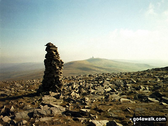


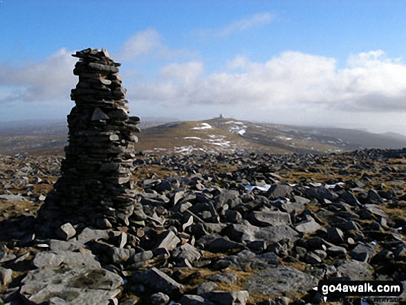
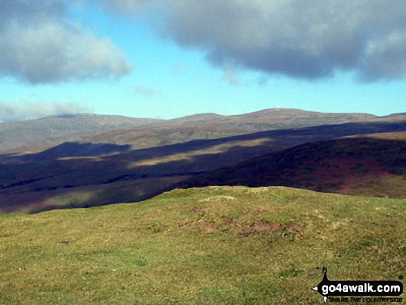
Great Dun Fell and Little Dun Fell from the tall cairn on Cross Fell summit plateau
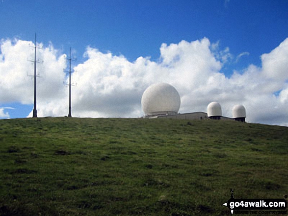

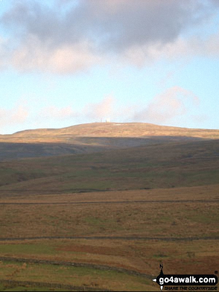
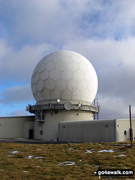
The Tracking Station on Great Dun Fell from The Pennine Way at Great Rundale Beck


. . . see all 10 walk photographs & pictures of views from, on, or of, Great Dun Fell
Send us your photographs and pictures on, of, or from Great Dun Fell
If you would like to add your walk photographs and pictures to this page, please send them as email attachments (configured for any computer) along with your name to:
and we shall do our best to publish them.
(Guide Resolution = 300dpi. At least = 660pixels (wide) x 440 pixels (high).)

You can also submit photos via our Facebook Page.
NB. Please indicate where each photo was taken and whether you wish us to credit your photos with a Username or your First Name/Last Name.


