All the Mountains, Peaks, Tops and Hills in Wales, Wales as a detailed list (Page 4 of 5)
Wales is defined as the whole of the principality of Wales which includes the National Parks of Snowdonia,
Bannau Brycheiniog (The Brecon Beacons) and The Pembrokeshire Coast as well as Mynyddoedd Cambria (The Cambrian Mountains), Radnor Forest, Anglesey, The Llynn Peninsula, The Preseli Mountains and The Gower Peninsula.
If you count only the Mountains (Hewitts) there are 136 tops to climb, bag & conquer and the highest point is Snowdon (Yr Wyddfa) at 1,085m (3,561ft).
To see these Mountains, Peaks, Tops and Hills displayed in different ways - see the options in the left-hand column and towards the bottom of this page.
LOG ON and RELOAD this page to show which Mountains, Peaks, Tops and Hills you have already climbed, bagged & conquered [. . . more details]
Page 4 of 5 Go to page:
1 2 3 4 5 |
See this list in: Alphabetical Order‡
| Height Order
To reverse the order select the link again.
Mountain, Peak, Top or Hill:
Bagged
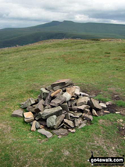
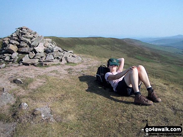
91. Foel Cedig
668m (2,192ft)
Mountain (90th in Wales, 219th in England & Wales)
Nuttall (120th in Wales, 291st in England & Wales)
Marilyn (42nd in Wales, 656th in GB)
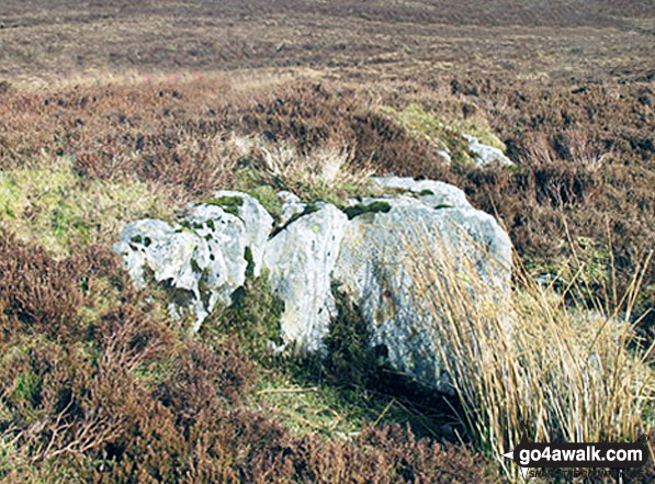
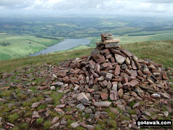
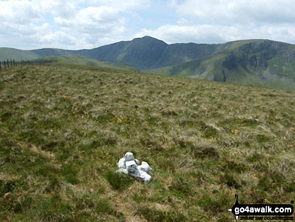
Foel Cedig became a Welsh Mountain (Hewitt), a 'Nuttall' and a 'Marilyn' in 2018 when it was found to be slightly higher that Cyrniau Nod 800m to the SE.
To walk, climb & bag Foel Cedig use either of these easy-to-follow walks:
See the location of Foel Cedig and walks up it on a google MapFoel Cedig is on interactive maps:
OS Explorer (Orange Covers): 239 and
255
OS Landranger (Pink Covers): 125
Foel Cedig is on downloadable PDF you can Print or Save to your Phone:
|
92. Fan Nedd
663m (2,175ft)
Mountain (93rd in Wales, 226th in England & Wales)
Nuttall (124th in Wales, 302nd in England & Wales)
Marilyn (44th in Wales, 670th in GB)
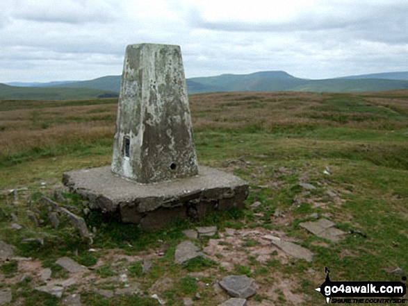
OS Trig Point
To walk, climb & bag Fan Nedd use this easy-to-follow walk:
See the location of Fan Nedd and walks up it on a google MapFan Nedd is on interactive maps:
OS Explorer (Orange Covers): OL12
OS Landranger (Pink Covers): 160
Fan Nedd is on downloadable PDF you can Print or Save to your Phone:
|
93. Fan Llia
631m (2,073ft)
Mountain (112th in Wales, 272nd in England & Wales)
Nuttall (154th in Wales, 368th in England & Wales)
To walk, climb & bag Fan Llia use any of these easy-to-follow walks:
See the location of Fan Llia and walks up it on a google MapFan Llia is on interactive maps:
OS Explorer (Orange Covers): OL12
OS Landranger (Pink Covers): 160
Fan Llia is on downloadable PDF you can Print or Save to your Phone:
|
94. Fan Hir
760m (2,494ft)
Mountain (46th in Wales, 112th in England & Wales)
Nuttall (57th in Wales, 136th in England & Wales)
To walk, climb & bag Fan Hir use either of these easy-to-follow walks:
See the location of Fan Hir and walks up it on a google MapFan Hir is on interactive maps:
OS Explorer (Orange Covers): OL12
OS Landranger (Pink Covers): 160
Fan Hir is on downloadable PDF you can Print or Save to your Phone:
|
95. Fan Gyhirych
725m (2,379ft)
Mountain (60th in Wales, 143rd in England & Wales)
Nuttall (74th in Wales, 177th in England & Wales)
Marilyn (29th in Wales, 538th in GB)
OS Trig Point
To walk, climb & bag Fan Gyhirych use either of these easy-to-follow walks:
See the location of Fan Gyhirych and walks up it on a google MapFan Gyhirych is on interactive maps:
OS Explorer (Orange Covers): OL12
OS Landranger (Pink Covers): 160
Fan Gyhirych is on downloadable PDF you can Print or Save to your Phone:
|
96. Fan Frynych
628m (2,062ft)
Mountain (115th in Wales, 276th in England & Wales)
Nuttall (162nd in Wales, 377th in England & Wales)
OS Trig Point
To walk, climb & bag Fan Frynych use any of these easy-to-follow walks:
See the location of Fan Frynych and walks up it on a google MapFan Frynych is on interactive maps:
OS Explorer (Orange Covers): OL12
OS Landranger (Pink Covers): 160
Fan Frynych is on downloadable PDF you can Print or Save to your Phone:
|
97. Fan Fawr
734m (2,409ft)
Mountain (56th in Wales, 135th in England & Wales)
Nuttall (70th in Wales, 167th in England & Wales)
Marilyn (26th in Wales, 517th in GB)
OS Trig Point
To walk, climb & bag Fan Fawr use either of these easy-to-follow walks:
See the location of Fan Fawr and walks up it on a google MapFan Fawr is on interactive maps:
OS Explorer (Orange Covers): OL12
OS Landranger (Pink Covers): 160
Fan Fawr is on downloadable PDF you can Print or Save to your Phone:
|
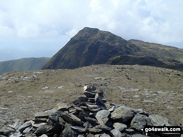
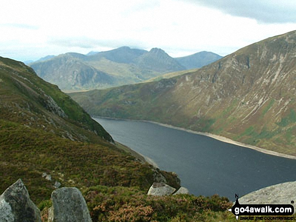
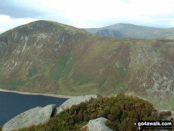
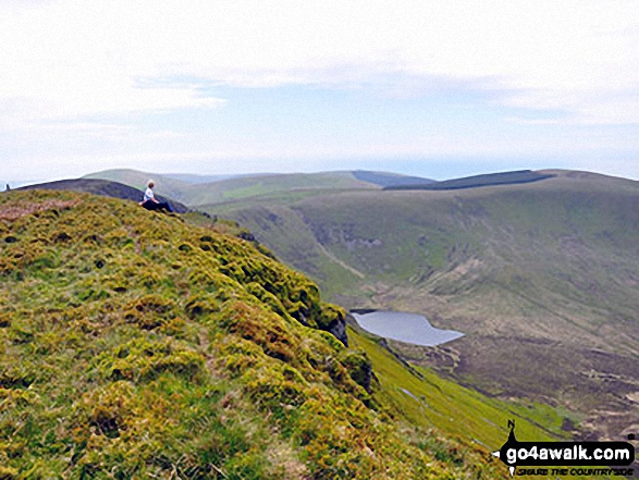
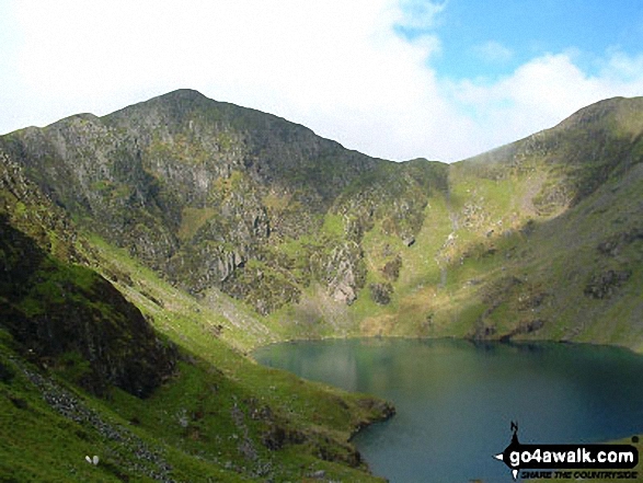
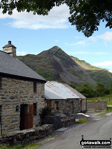
98. Fan Brycheiniog (Twr y Fan Foel)
802m (2,632ft)
Mountain (34th in Wales, 76th in England & Wales)
Nuttall (43rd in Wales, 91st in England & Wales)
Marilyn (15th in Wales, 390th in GB)
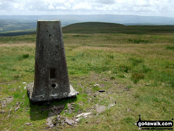
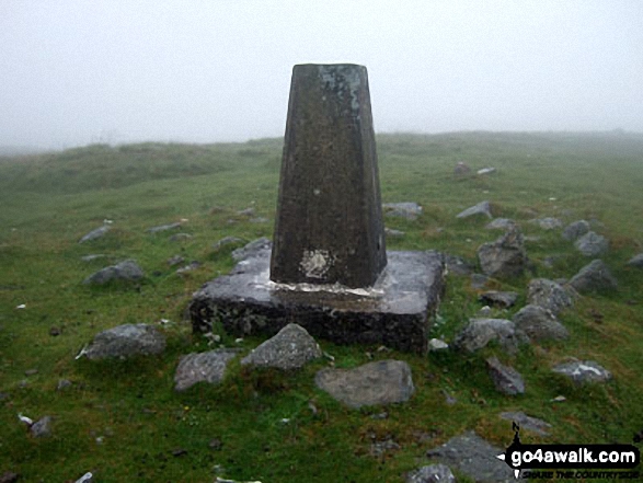
OS Trig Point
Fan Brycheiniog (Twr y Fan Foel) became the local Mountain (Hewitt) and 'Nuttall' after a survey found the top to be 0.75m higher than the Trig Point.
To walk, climb & bag Fan Brycheiniog (Twr y Fan Foel) use either of these easy-to-follow walks:
See the location of Fan Brycheiniog (Twr y Fan Foel) and walks up it on a google MapFan Brycheiniog (Twr y Fan Foel) is on interactive maps:
OS Explorer (Orange Covers): OL12
OS Landranger (Pink Covers): 160
Fan Brycheiniog (Twr y Fan Foel) is on downloadable PDF you can Print or Save to your Phone:
|
99. Esgeiriau Gwynion
671m (2,202ft)
Mountain (85th in Wales, 213th in England & Wales)
Nuttall (115th in Wales, 284th in England & Wales)
Marilyn (40th in Wales, 650th in GB)
To walk, climb & bag Esgeiriau Gwynion use this easy-to-follow walk:
See the location of Esgeiriau Gwynion and walks up it on a google MapEsgeiriau Gwynion is on interactive maps:
OS Explorer (Orange Covers): OL23
OS Landranger (Pink Covers): 124
Esgeiriau Gwynion is on downloadable PDF you can Print or Save to your Phone:
|
100. Erw y Ddafad-ddu
872m (2,861ft)
Mountain (22nd in Wales, 37th in England & Wales)
Nuttall (24th in Wales, 42nd in England & Wales)
To walk, climb & bag Erw y Ddafad-ddu use either of these easy-to-follow walks:
See the location of Erw y Ddafad-ddu and walks up it on a google MapErw y Ddafad-ddu is on interactive maps:
OS Explorer (Orange Covers): OL23
OS Landranger (Pink Covers): 124
Erw y Ddafad-ddu is on downloadable PDF you can Print or Save to your Phone:
|
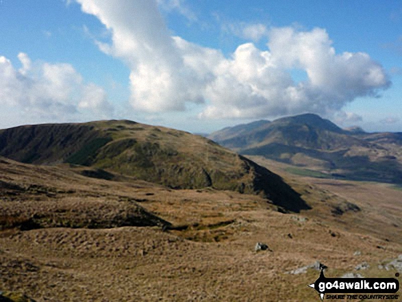
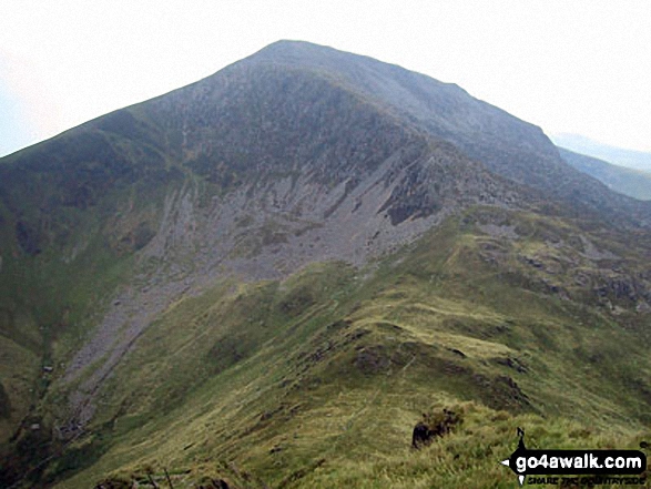
101. Elidir Fawr
924m (3,033ft)
Mountain (13th in Wales, 19th in England & Wales)
Nuttall (14th in Wales, 22nd in England & Wales)
Marilyn (5th in Wales, 201st in GB)
To walk, climb & bag Elidir Fawr use either of these easy-to-follow walks:
See the location of Elidir Fawr and walks up it on a google MapElidir Fawr is on interactive maps:
OS Explorer (Orange Covers): OL17
OS Landranger (Pink Covers): 115
Elidir Fawr is on downloadable PDF you can Print or Save to your Phone:
|
102. Drygarn Fawr
645m (2,116ft)
Mountain (106th in Wales, 256th in England & Wales)
Nuttall (145th in Wales, 341st in England & Wales)
Marilyn (47th in Wales, 702nd in GB)
OS Trig Point
To walk, climb & bag Drygarn Fawr use this easy-to-follow walk:
See the location of Drygarn Fawr and walks up it on a google MapDrygarn Fawr is on interactive maps:
OS Explorer (Orange Covers): 200 and
187
OS Landranger (Pink Covers): 147
A downloadable go4awalk.com PDF Peak Bagging Map featuring Drygarn Fawr will be available soon. |
103. Drum (Carneddau)
771m (2,530ft)
Mountain (42nd in Wales, 102nd in England & Wales)
Nuttall (53rd in Wales, 126th in England & Wales)
To walk, climb & bag Drum (Carneddau) use any of these easy-to-follow walks:
See the location of Drum (Carneddau) and walks up it on a google MapDrum (Carneddau) is on interactive maps:
OS Explorer (Orange Covers): OL17
OS Landranger (Pink Covers): 115
Drum (Carneddau) is on downloadable PDF you can Print or Save to your Phone:
|
104. Drosgl
758m (2,488ft)
Mountain (47th in Wales, 113th in England & Wales)
Nuttall (58th in Wales, 137th in England & Wales)
To walk, climb & bag Drosgl use either of these easy-to-follow walks:
See the location of Drosgl and walks up it on a google MapDrosgl is on interactive maps:
OS Explorer (Orange Covers): OL17
OS Landranger (Pink Covers): 115
Drosgl is on downloadable PDF you can Print or Save to your Phone:
|
105. Diffwys
750m (2,462ft)
Mountain (51st in Wales, 120th in England & Wales)
Nuttall (63rd in Wales, 147th in England & Wales)
OS Trig Point
To walk, climb & bag Diffwys use this easy-to-follow walk:
See the location of Diffwys and walks up it on a google MapDiffwys is on interactive maps:
OS Explorer (Orange Covers): OL18
OS Landranger (Pink Covers): 124
Diffwys is on downloadable PDF you can Print or Save to your Phone:
|
106. Dduallt (Arenigs)
662m (2,172ft)
Mountain (97th in Wales, 232nd in England & Wales)
Nuttall (126th in Wales, 305th in England & Wales)
To walk, climb & bag Dduallt (Arenigs) use this easy-to-follow walk:
See the location of Dduallt (Arenigs) and walks up it on a google MapDduallt (Arenigs) is on interactive maps:
OS Explorer (Orange Covers): OL23
OS Landranger (Pink Covers): 124 and
125
Dduallt (Arenigs) is on downloadable PDF you can Print or Save to your Phone:
|
107. Cyfrwy
811m (2,662ft)
Mountain (31st in Wales, 68th in England & Wales)
Nuttall (39th in Wales, 82nd in England & Wales)
To walk, climb & bag Cyfrwy use any of these easy-to-follow walks:
See the location of Cyfrwy and walks up it on a google MapCyfrwy is on interactive maps:
OS Explorer (Orange Covers): OL23
OS Landranger (Pink Covers): 124
Cyfrwy is on downloadable PDF you can Print or Save to your Phone:
|
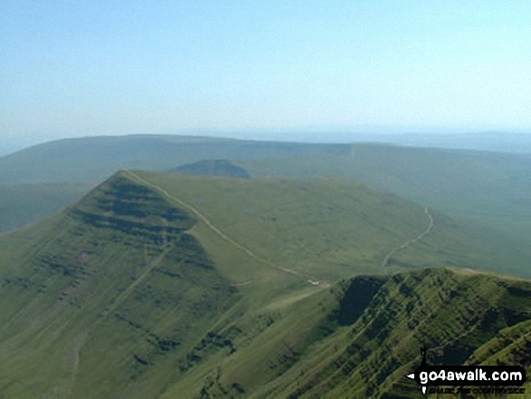
108. Cribyn
795m (2,609ft)
Mountain (37th in Wales, 82nd in England & Wales)
Nuttall (47th in Wales, 99th in England & Wales)
To walk, climb & bag Cribyn use any of these easy-to-follow walks:
See the location of Cribyn and walks up it on a google MapCribyn is on interactive maps:
OS Explorer (Orange Covers): OL12
OS Landranger (Pink Covers): 160
Cribyn is on downloadable PDF you can Print or Save to your Phone:
|
109. Cribin Fawr
658m (2,161ft)
Mountain (99th in Wales, 235th in England & Wales)
Nuttall (133rd in Wales, 314th in England & Wales)
To walk, climb & bag Cribin Fawr use either of these easy-to-follow walks:
See the location of Cribin Fawr and walks up it on a google MapCribin Fawr is on interactive maps:
OS Explorer (Orange Covers): OL23
OS Landranger (Pink Covers): 124
Cribin Fawr is on downloadable PDF you can Print or Save to your Phone:
|
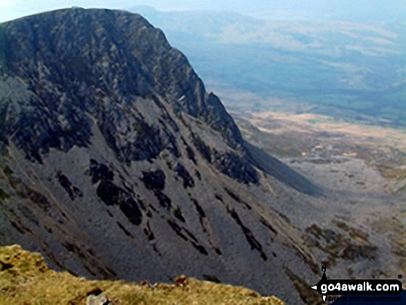
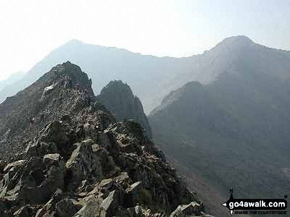
110. Crib Goch
923m (3,029ft)
Mountain (14th in Wales, 20th in England & Wales)
Nuttall (15th in Wales, 23rd in England & Wales)
To walk, climb & bag Crib Goch use any of these easy-to-follow walks:
See the location of Crib Goch and walks up it on a google MapCrib Goch is on interactive maps:
OS Explorer (Orange Covers): OL17
OS Landranger (Pink Covers): 115
Crib Goch is on downloadable PDF you can Print or Save to your Phone:
|
111. Creigiau Gleision (North Top)
631m (2,072ft)
Mountain (110th in Wales, 267th in England & Wales)
Nuttall (155th in Wales, 369th in England & Wales)
To walk, climb & bag Creigiau Gleision (North Top) use any of these easy-to-follow walks:
See the location of Creigiau Gleision (North Top) and walks up it on a google MapCreigiau Gleision (North Top) is on interactive maps:
OS Explorer (Orange Covers): OL17
OS Landranger (Pink Covers): 115
Creigiau Gleision (North Top) is on downloadable PDF you can Print or Save to your Phone:
|
112. Creigiau Gleision
678m (2,225ft)
Mountain (80th in Wales, 197th in England & Wales)
Nuttall (109th in Wales, 263rd in England & Wales)
Marilyn (37th in Wales, 634th in GB)
To walk, climb & bag Creigiau Gleision use any of these easy-to-follow walks:
See the location of Creigiau Gleision and walks up it on a google MapCreigiau Gleision is on interactive maps:
OS Explorer (Orange Covers): OL17
OS Landranger (Pink Covers): 115
Creigiau Gleision is on downloadable PDF you can Print or Save to your Phone:
|
113. Craig-y-llyn
622m (2,041ft)
Mountain (122nd in Wales, 288th in England & Wales)
Nuttall (169th in Wales, 396th in England & Wales)
To walk, climb & bag Craig-y-llyn use either of these easy-to-follow walks:
See the location of Craig-y-llyn and walks up it on a google MapCraig-y-llyn is on interactive maps:
OS Explorer (Orange Covers): OL23
OS Landranger (Pink Covers): 124
Craig-y-llyn is on downloadable PDF you can Print or Save to your Phone:
|
114. Craig Cwm Silyn
734m (2,409ft)
Mountain (55th in Wales, 134th in England & Wales)
Nuttall (69th in Wales, 166th in England & Wales)
Marilyn (25th in Wales, 514th in GB)
To walk, climb & bag Craig Cwm Silyn use any of these easy-to-follow walks:
See the location of Craig Cwm Silyn and walks up it on a google MapCraig Cwm Silyn is on interactive maps:
OS Explorer (Orange Covers): OL17
OS Landranger (Pink Covers): 115
Craig Cwm Silyn is on downloadable PDF you can Print or Save to your Phone:
|
115. Craig Cwm Amarch
791m (2,596ft)
Mountain (38th in Wales, 86th in England & Wales)
Nuttall (49th in Wales, 105th in England & Wales)
To walk, climb & bag Craig Cwm Amarch use any of these easy-to-follow walks:
See the location of Craig Cwm Amarch and walks up it on a google MapCraig Cwm Amarch is on interactive maps:
OS Explorer (Orange Covers): OL23
OS Landranger (Pink Covers): 124
Craig Cwm Amarch is on downloadable PDF you can Print or Save to your Phone:
|
116. Craig Cerrig-gleisiad
629m (2,064ft)
Mountain (114th in Wales, 275th in England & Wales)
Nuttall (159th in Wales, 374th in England & Wales)
To walk, climb & bag Craig Cerrig-gleisiad use any of these easy-to-follow walks:
See the location of Craig Cerrig-gleisiad and walks up it on a google MapCraig Cerrig-gleisiad is on interactive maps:
OS Explorer (Orange Covers): OL12
OS Landranger (Pink Covers): 160
Craig Cerrig-gleisiad is on downloadable PDF you can Print or Save to your Phone:
|
117. Cnicht
689m (2,260ft)
Mountain (74th in Wales, 185th in England & Wales)
Nuttall (96th in Wales, 241st in England & Wales)
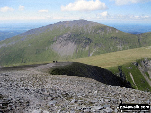
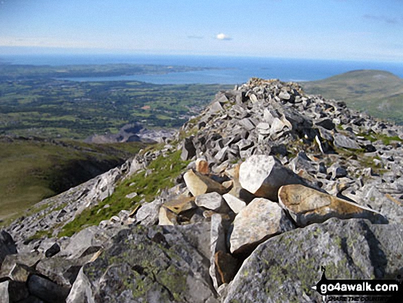
Cnicht is often referred to as the Welsh Matterhorn. When viewed from the village of Croesor and the south-west, Cnicht appears to be a perfect pyramid shaped mountain that resembles the Matterhorn on the border between Italy and Switzerland.
To walk, climb & bag Cnicht use any of these easy-to-follow walks:
See the location of Cnicht and walks up it on a google MapCnicht is on interactive maps:
OS Explorer (Orange Covers): OL17
OS Landranger (Pink Covers): 115
Cnicht is on downloadable PDF you can Print or Save to your Phone:
|
118. Chwarel y Fan
679m (2,228ft)
Mountain (86th in Wales, 214th in England & Wales)
Nuttall (107th in Wales, 260th in England & Wales)
Chwarel y Fan is the highest point in the county of Monmouthshire.
To walk, climb & bag Chwarel y Fan use either of these easy-to-follow walks:
See the location of Chwarel y Fan and walks up it on a google MapChwarel y Fan is on interactive maps:
OS Explorer (Orange Covers): OL13
OS Landranger (Pink Covers): 161
Chwarel y Fan is on downloadable PDF you can Print or Save to your Phone:
|
119. Cefn yr Ystrad
617m (2,025ft)
Mountain (126th in Wales, 297th in England & Wales)
Nuttall (175th in Wales, 413th in England & Wales)
Marilyn (51st in Wales, 738th in GB)
OS Trig Point
To walk, climb & bag Cefn yr Ystrad use this easy-to-follow walk:
See the location of Cefn yr Ystrad and walks up it on a google MapCefn yr Ystrad is on interactive maps:
OS Explorer (Orange Covers): OL12
OS Landranger (Pink Covers): 160
Cefn yr Ystrad is on downloadable PDF you can Print or Save to your Phone:
|
120. Carnedd y Filiast (Glyderau)
822m (2,698ft)
Mountain (30th in Wales, 64th in England & Wales)
Nuttall (36th in Wales, 75th in England & Wales)
To walk, climb & bag Carnedd y Filiast (Glyderau) use this easy-to-follow walk:
See the location of Carnedd y Filiast (Glyderau) and walks up it on a google MapCarnedd y Filiast (Glyderau) is on interactive maps:
OS Explorer (Orange Covers): OL17
OS Landranger (Pink Covers): 115
Carnedd y Filiast (Glyderau) is on downloadable PDF you can Print or Save to your Phone:
|
Page 4 of 5 Go to page:
1 2 3 4 5 |
View these 136 Mountains, Peaks, Tops and Hills:
Is there a Mountain, Peak, Top or Hill missing from the above google map or list?
Let us know an we will add it to our database.

 Snowdon (Yr Wyddfa) in The Glyders (or Glyderau)Wales


