The Lake District National Park - a fully detailed list of all the Mountains, Peaks, Tops and Hills (Page 3 of 4)
The Lake District National Park is located in North West England, wholly within the county of Cumbria.
If you include the Marilyns, the Bridgets (Hills) and all the Mountains, Tops, Peaks and Hills with a Trig Point on them there are 116 tops to climb, bag & conquer and the highest point is Scafell Pike at 978m (3,210ft).
To see these Mountains, Peaks, Tops and Hills displayed in different ways - see the options in the left-hand column and towards the bottom of this page.
![]() Your Personal Bagging Record for The Lake District National Park
Your Personal Bagging Record for The Lake District National Park
LOG ON and RELOAD this page to show which Mountains, Peaks, Tops and Hills you have already climbed, bagged & conquered [. . . more details]
See this list in: Alphabetical Order
| Height Order‡
To reverse the order select the link again.
Mountain, Peak, Top or Hill:
Bagged

![]()
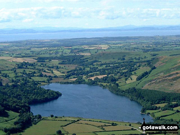
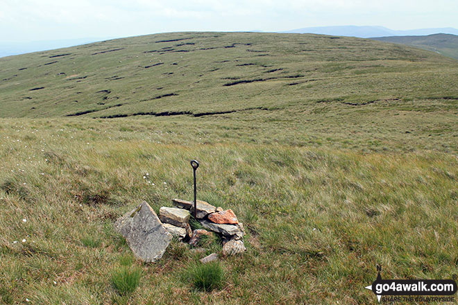
61. Mellbreak (North Top)
509m (1,671ft)
Mellbreak (North Top) is on interactive maps:
Mellbreak (North Top) is on downloadable PDF you can Print or Save to your Phone: *Version including the walk routes marked on it that you need to follow to Walk all 214 Wainwrights in just 59 walks. |

![]()
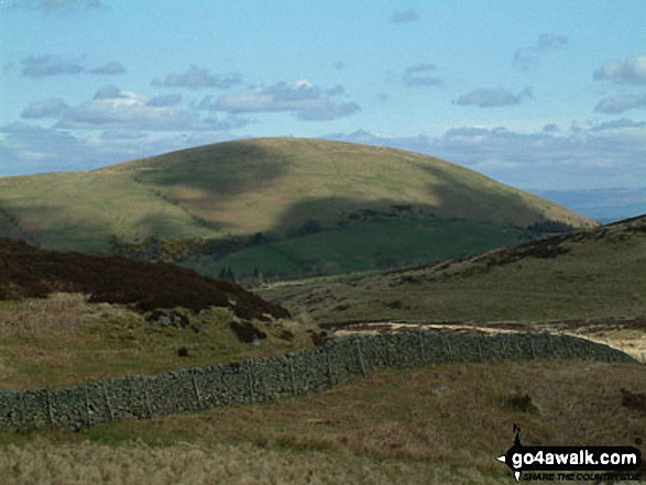
62. Little Mell Fell
505m (1,657ft)
Little Mell Fell is on interactive maps:
Little Mell Fell is on downloadable PDF you can Print or Save to your Phone: *Version including the walk routes marked on it that you need to follow to Walk all 214 Wainwrights in just 59 walks. |
![]()
63. Grayrigg Forest
494m (1,621ft)
Grayrigg Forest is on interactive maps:
A downloadable go4awalk.com PDF Peak Bagging Map featuring Grayrigg Forest will be available soon. |

![]()
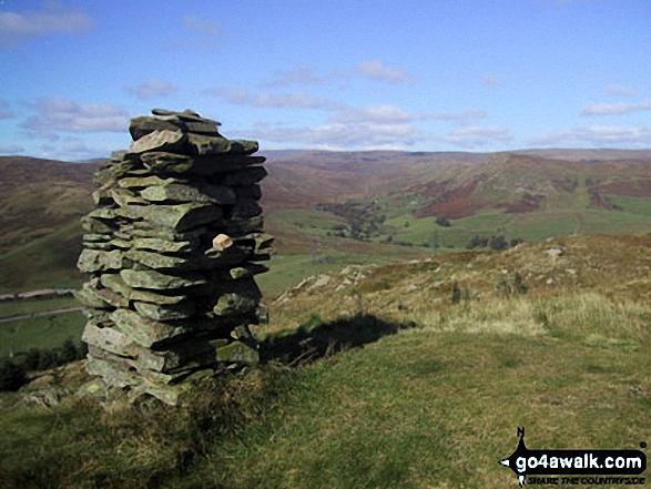
64. Wansfell Pike
482m (1,582ft)
Wansfell Pike is on interactive maps:
Wansfell Pike is on downloadable PDF you can Print or Save to your Phone: *Version including the walk routes marked on it that you need to follow to Walk all 214 Wainwrights in just 59 walks. |
![]()
65. Mabbin Crag
482m (1,581ft)
Mabbin Crag is on interactive maps:
A downloadable go4awalk.com PDF Peak Bagging Map featuring Mabbin Crag will be available soon. |
![]()
66. Gowbarrow Fell (Airy Crag)
481m (1,579ft)
Gowbarrow Fell (Airy Crag) is on interactive maps:
Gowbarrow Fell (Airy Crag) is on downloadable PDF you can Print or Save to your Phone: *Version including the walk routes marked on it that you need to follow to Walk all 214 Wainwrights in just 59 walks. |
![]()
67. Castle Fell
478m (1,568ft)
Castle Fell is on interactive maps:
A downloadable go4awalk.com PDF Peak Bagging Map featuring Castle Fell will be available soon. |
![]()
68. Whinfell Beacon
472m (1,549ft)
Whinfell Beacon is on interactive maps:
A downloadable go4awalk.com PDF Peak Bagging Map featuring Whinfell Beacon will be available soon. |
![]()
69. Whinash
471m (1,545ft)
Whinash is on interactive maps:
|
![]()
70. Ashstead Fell
469m (1,539ft)
Ashstead Fell is on interactive maps:
A downloadable go4awalk.com PDF Peak Bagging Map featuring Ashstead Fell will be available soon. |

![]()
71. Lingmoor Fell
469m (1,539ft)
Lingmoor Fell is on interactive maps:
Lingmoor Fell is on downloadable PDF you can Print or Save to your Phone: *Version including the walk routes marked on it that you need to follow to Walk all 214 Wainwrights in just 59 walks. |
![]()
72. Winterscleugh
464m (1,522ft)
Winterscleugh is on interactive maps:
A downloadable go4awalk.com PDF Peak Bagging Map featuring Winterscleugh will be available soon. |
![]()
73. Dodd (Whiteside)
454m (1,490ft)
Dodd (Whiteside) is on interactive maps:
Dodd (Whiteside) is on downloadable PDF you can Print or Save to your Phone: *Version including the walk routes marked on it that you need to follow to Walk all 214 Wainwrights in just 59 walks. |
![]()
74. Binsey
447m (1,467ft)
Binsey is on interactive maps:
Binsey is on downloadable PDF you can Print or Save to your Phone: *Version including the walk routes marked on it that you need to follow to Walk all 214 Wainwrights in just 59 walks. |
![]()
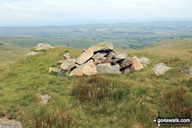
75. Knock Murton (Murton Fell)
447m (1,467ft)
Send it in and we'll publish it here.
Knock Murton (Murton Fell) is on interactive maps:
Knock Murton (Murton Fell) is on downloadable PDF you can Print or Save to your Phone: *Version including the walk routes marked on it that you need to follow to Walk all 214 Wainwrights in just 59 walks. |
![]()
76. Brunt Knott (Potter Fell)
427m (1,401ft)
Brunt Knott (Potter Fell) is on interactive maps:
A downloadable go4awalk.com PDF Peak Bagging Map featuring Brunt Knott (Potter Fell) will be available soon. |
![]()
77. Low Fell
423m (1,388ft)
Low Fell is on interactive maps:
Low Fell is on downloadable PDF you can Print or Save to your Phone: *Version including the walk routes marked on it that you need to follow to Walk all 214 Wainwrights in just 59 walks. |
![]()
78. Fellbarrow
416m (1,365ft)
Fellbarrow is on interactive maps:
Fellbarrow is on downloadable PDF you can Print or Save to your Phone: *Version including the walk routes marked on it that you need to follow to Walk all 214 Wainwrights in just 59 walks. |
![]()
79. Lang How
414m (1,359ft)
Lang How is on interactive maps:
Lang How is on downloadable PDF you can Print or Save to your Phone: *Version including the walk routes marked on it that you need to follow to Walk all 214 Wainwrights in just 59 walks. |
![]()
80. King's How
392m (1,286ft)
King's How is on interactive maps:
King's How is on downloadable PDF you can Print or Save to your Phone: *Version including the walk routes marked on it that you need to follow to Walk all 214 Wainwrights in just 59 walks. |
![]()
81. Hallin Fell
388m (1,273ft)
Hallin Fell is on interactive maps:
Hallin Fell is on downloadable PDF you can Print or Save to your Phone: *Version including the walk routes marked on it that you need to follow to Walk all 214 Wainwrights in just 59 walks. |
![]()
82. Round How (Matterdale)
387m (1,270ft)
Send it in and we'll publish it here.
Round How (Matterdale) is on interactive maps:
Round How (Matterdale) is on downloadable PDF you can Print or Save to your Phone: *Version including the walk routes marked on it that you need to follow to Walk all 214 Wainwrights in just 59 walks. |
![]()
83. Jeffrey's Mount
378m (1,240ft)
Jeffrey's Mount is on interactive maps:
A downloadable go4awalk.com PDF Peak Bagging Map featuring Jeffrey's Mount will be available soon. |
![]()
84. Heughscar Hill
375m (1,231ft)
Heughscar Hill is on interactive maps:
A downloadable go4awalk.com PDF Peak Bagging Map featuring Heughscar Hill will be available soon. |
![]()
85. Ling Fell (Wythop)
373m (1,224ft)
Ling Fell (Wythop) is on interactive maps:
Ling Fell (Wythop) is on downloadable PDF you can Print or Save to your Phone: *Version including the walk routes marked on it that you need to follow to Walk all 214 Wainwrights in just 59 walks. |
![]()
86. Latrigg
367m (1,204ft)
Latrigg is on interactive maps:
Latrigg is on downloadable PDF you can Print or Save to your Phone: *Version including the walk routes marked on it that you need to follow to Walk all 214 Wainwrights in just 59 walks. |
![]()
87. High Rigg
357m (1,172ft)
High Rigg is on interactive maps:
High Rigg is on downloadable PDF you can Print or Save to your Phone: *Version including the walk routes marked on it that you need to follow to Walk all 214 Wainwrights in just 59 walks. |
![]()
88. Dent (Long Barrow)
352m (1,155ft)
Dent (Long Barrow) is on interactive maps:
Dent (Long Barrow) is on downloadable PDF you can Print or Save to your Phone: *Version including the walk routes marked on it that you need to follow to Walk all 214 Wainwrights in just 59 walks. |
![]()
89. Swainson Knott
345m (1,132ft)
Swainson Knott is on interactive maps:
|
![]()
90. Lambrigg Fell
339m (1,112ft)
Lambrigg Fell is on interactive maps:
A downloadable go4awalk.com PDF Peak Bagging Map featuring Lambrigg Fell will be available soon. |
View these 116 Mountains, Peaks, Tops and Hills:
- On Seven Downloadable PDFs you can print or save to your phone covering:
- The Central Fells #
- The Eastern Fells #
- The Far Eastern Fells #
- The Northern Fells #
- The North Western Fells #
- The Southern Fells #
- The Western Fells #
- On Seven Special Wainwright Baggers' versions of the above Downloadable PDFs you can print or save to your phone detailing the routes that Bag All 214 Wainwrights in just 59 walks:
- The Wainwrights in the Central Fells Area #
- The Wainwrights in the The Eastern Fells Area #
- The Wainwrights in the The Far Eastern Fells Area #
- The Wainwrights in the The Northern Fells Area #
- The Wainwrights in the The North Western Fells Area #
- The Wainwrights in the The Southern Fells Area #
- The Wainwrights in the The Western Fells Area #
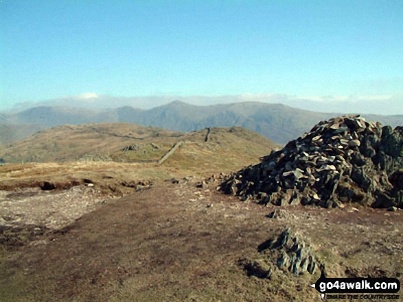
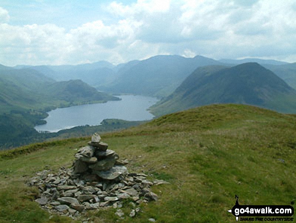
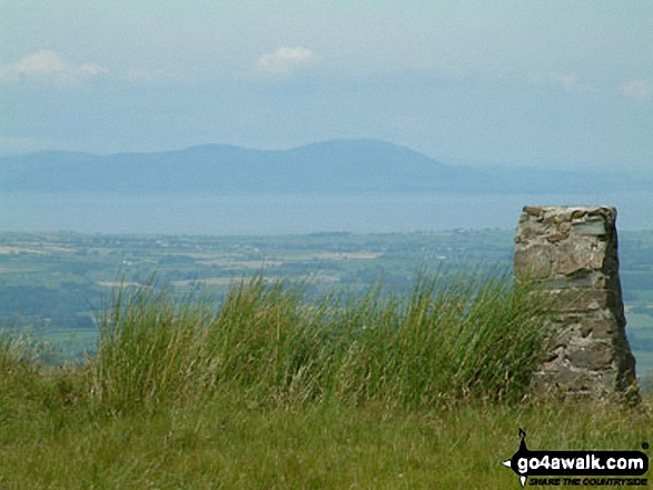
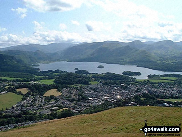
 The view from Scafell Pike in The Lake District
Photo: David Cochrane
- On an Interactive Google Map (loads faster)
- On an Interactive Google Map with a list of tops below it.
(makes it easier to locate a particular top) - On a Detailed List in:
Alphabetical Order | Height Order - On one page with 'yet-to-be-bagged' listed 1st & then 'already-bagged' tops listed 2nd in:
Alphabetical Order | Height Order - On one page with 'already-bagged' tops listed 1st & then 'yet-to-be-bagged' tops listed 2nd in:
Alphabetical Order | Height Order
# Whether you print copies or download them to your phone, these Peak Baggers' Maps will prove incredibly useful if you want to know what's what when you are up in the mountains and cannot get a phone signal.
Is there a Mountain, Peak, Top or Hill missing from the above google map or list?
Let us know an we will add it to our database.

To contribute to go4awalk.com or to contact us about anything at all - see Talk To Us.
For help see Help.
go4awalk.com and go4awalk.co.uk are registered trademarks of TMDH Limited.
Copyright © 2000-2025 TMDH Limited. All rights reserved.
Copyright Terms & Conditions Privacy Statement
A - Z Walks Home Log On/Accounts Photo Gallery Walk Ideas and Collections Fell Facts Hill Skills Walking Questions and Answers Your Stories News Competitions Product Reviews/Gear Tests Walking Gear Guides Peaks and Mountains Peak Bagging Find New Walking Friends Camping GPS Waypoints for Walking Contents Walk Search Talk To Us go4awalk.com Help Free Example Walks Newsletter


