Bannau Brycheiniog (The Brecon Beacons National Park) - a fully detailed list of all the Mountains, Peaks, Tops and Hills (Page 1 of 3)
Bannau Brycheiniog (The Brecon Beacons National Park) is located in South Wales covering part of the counties of Blaenau Gwent, Caerphilly, Carmarthenshire, Merthyr Tydfil, Monmouthshire, Powys, Rhondda Cynon Taf and Torfaen.
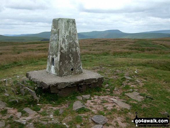
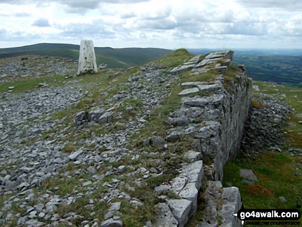
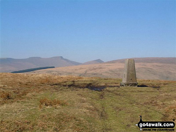
If you include the Marilyns, the Bridgets (Hills) and all the Mountains, Tops, Peaks and Hills with a Trig Point on them there are 66 tops to climb, bag & conquer and the highest point is Pen y Fan at 886m (2,907ft).
To see these Mountains, Peaks, Tops and Hills displayed in different ways - see the options in the left-hand column and towards the bottom of this page.
LOG ON and RELOAD this page to show which Mountains, Peaks, Tops and Hills you have already climbed, bagged & conquered [. . . more details]
Page 1 of 3 Go to page:
1 2 3 |
See this list in: Alphabetical Order
| Height Order‡
To reverse the order select the link again.
Mountain, Peak, Top or Hill:
Bagged
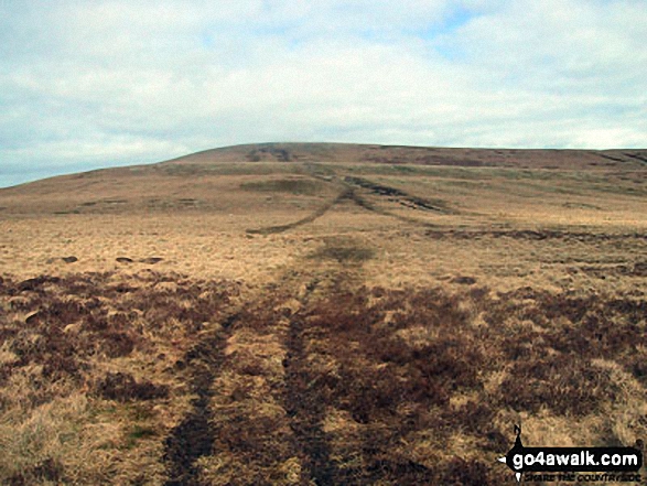
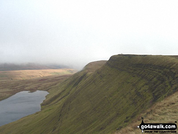
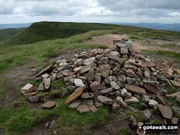
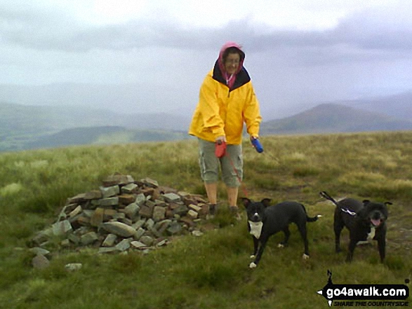
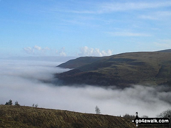
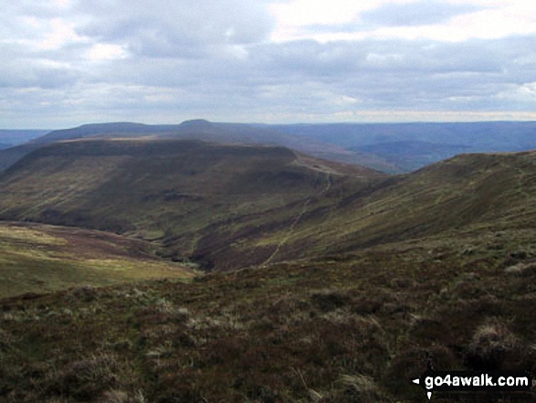
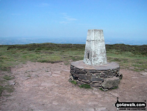
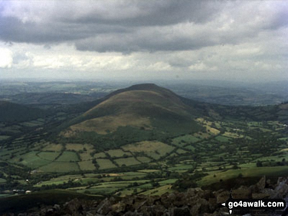
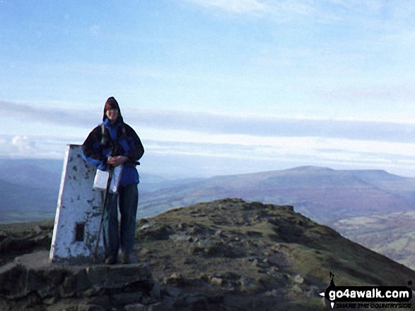
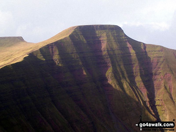
1. Pen y Fan
886m (2,907ft)
Mountain (19th in Wales, 31st in England & Wales)
Nuttall (21st in Wales, 36th in England & Wales)
Marilyn (10th in Wales, 259th in GB)
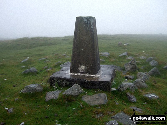
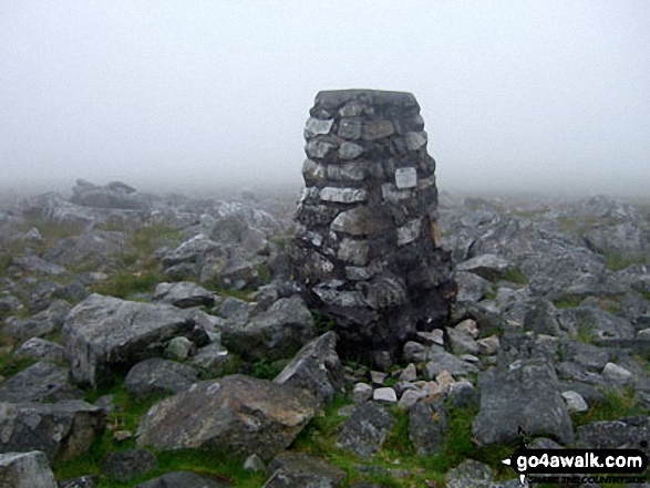
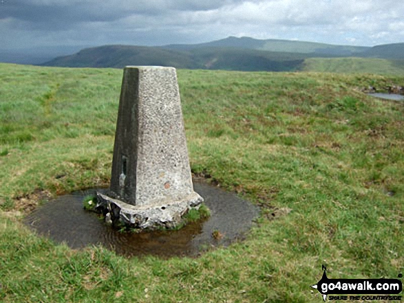
OS Trig Point
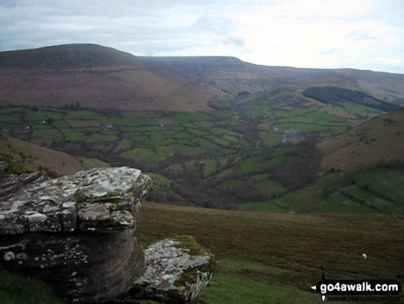
Pen y Fan is the highest point in The Brecon Beacons National Park and the highest point in the county of Powys.
To walk, climb & bag Pen y Fan use any of these easy-to-follow walks:
See the location of Pen y Fan and walks up it on a google MapPen y Fan is on interactive maps:
OS Explorer (Orange Covers): OL12
OS Landranger (Pink Covers): 160
Pen y Fan is on downloadable PDF you can Print or Save to your Phone:
|
2. Waun Fach
811m (2,662ft)
Mountain (32nd in Wales, 69th in England & Wales)
Nuttall (40th in Wales, 83rd in England & Wales)
Marilyn (14th in Wales, 368th in GB)
OS Trig Point
To walk, climb & bag Waun Fach use either of these easy-to-follow walks:
See the location of Waun Fach and walks up it on a google MapWaun Fach is on interactive maps:
OS Explorer (Orange Covers): OL13
OS Landranger (Pink Covers): 161
Waun Fach is on downloadable PDF you can Print or Save to your Phone:
|
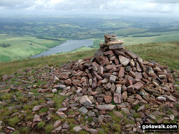
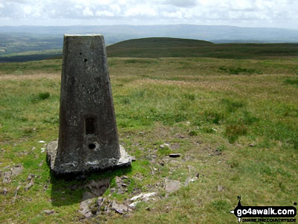
3. Fan Brycheiniog (Twr y Fan Foel)
802m (2,632ft)
Mountain (34th in Wales, 76th in England & Wales)
Nuttall (43rd in Wales, 91st in England & Wales)
Marilyn (15th in Wales, 390th in GB)
OS Trig Point
Fan Brycheiniog (Twr y Fan Foel) became the local Mountain (Hewitt) and 'Nuttall' after a survey found the top to be 0.75m higher than the Trig Point.
To walk, climb & bag Fan Brycheiniog (Twr y Fan Foel) use either of these easy-to-follow walks:
See the location of Fan Brycheiniog (Twr y Fan Foel) and walks up it on a google MapFan Brycheiniog (Twr y Fan Foel) is on interactive maps:
OS Explorer (Orange Covers): OL12
OS Landranger (Pink Covers): 160
Fan Brycheiniog (Twr y Fan Foel) is on downloadable PDF you can Print or Save to your Phone:
|
4. Fan Foel
780m (2,559ft)
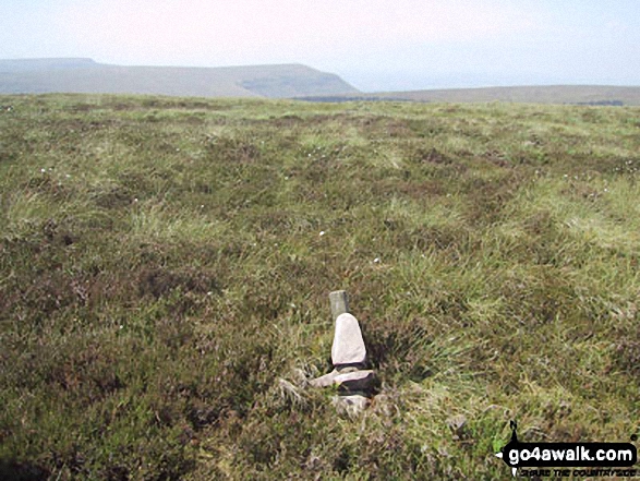
Bridget
Fan Foel is the highest point in the county of Carmarthanshire.
We hope to have walks that climb & bag Fan Foel very soon
See the location of Fan Foel and walks up it on a google MapFan Foel is on interactive maps:
OS Explorer (Orange Covers): OL12
OS Landranger (Pink Covers): 160
Fan Foel is on downloadable PDF you can Print or Save to your Phone:
|
5. Waun Rydd
769m (2,524ft)
Mountain (44th in Wales, 105th in England & Wales)
Nuttall (55th in Wales, 129th in England & Wales)
Marilyn (20th in Wales, 452nd in GB)
OS Trig Point
To walk, climb & bag Waun Rydd use any of these easy-to-follow walks:
See the location of Waun Rydd and walks up it on a google MapWaun Rydd is on interactive maps:
OS Explorer (Orange Covers): OL12
OS Landranger (Pink Covers): 160
Waun Rydd is on downloadable PDF you can Print or Save to your Phone:
|
6. Fan Fawr
734m (2,409ft)
Mountain (56th in Wales, 135th in England & Wales)
Nuttall (70th in Wales, 167th in England & Wales)
Marilyn (26th in Wales, 517th in GB)
OS Trig Point
To walk, climb & bag Fan Fawr use either of these easy-to-follow walks:
See the location of Fan Fawr and walks up it on a google MapFan Fawr is on interactive maps:
OS Explorer (Orange Covers): OL12
OS Landranger (Pink Covers): 160
Fan Fawr is on downloadable PDF you can Print or Save to your Phone:
|
7. Fan Gyhirych
725m (2,379ft)
Mountain (60th in Wales, 143rd in England & Wales)
Nuttall (74th in Wales, 177th in England & Wales)
Marilyn (29th in Wales, 538th in GB)
OS Trig Point
To walk, climb & bag Fan Gyhirych use either of these easy-to-follow walks:
See the location of Fan Gyhirych and walks up it on a google MapFan Gyhirych is on interactive maps:
OS Explorer (Orange Covers): OL12
OS Landranger (Pink Covers): 160
Fan Gyhirych is on downloadable PDF you can Print or Save to your Phone:
|
8. Pen Allt-mawr
719m (2,362ft)
Mountain (62nd in Wales, 150th in England & Wales)
Nuttall (78th in Wales, 186th in England & Wales)
OS Trig Point
To walk, climb & bag Pen Allt-mawr use any of these easy-to-follow walks:
See the location of Pen Allt-mawr and walks up it on a google MapPen Allt-mawr is on interactive maps:
OS Explorer (Orange Covers): OL13
OS Landranger (Pink Covers): 161
Pen Allt-mawr is on downloadable PDF you can Print or Save to your Phone:
|
9. Rhos Dirion
713m (2,340ft)
Nuttall (80th in Wales, 196th in England & Wales)
OS Trig Point
To walk, climb & bag Rhos Dirion use any of these easy-to-follow walks:
See the location of Rhos Dirion and walks up it on a google MapRhos Dirion is on interactive maps:
OS Explorer (Orange Covers): OL13
OS Landranger (Pink Covers): 161
Rhos Dirion is on downloadable PDF you can Print or Save to your Phone:
|
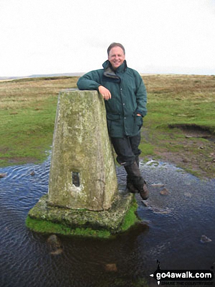
10. Black Mountain
703m (2,307ft)
Mountain (66th in Wales, 169th in England & Wales)
Nuttall (85th in Wales, 212th in England & Wales)
Marilyn (33rd in Wales, 587th in GB)
Black Mountain straddles the border between England and Wales. Although the actual summit of Black Mountain is in the welsh county of Powys by a couple of metres, the upper NW slope of Black Mountain is the highest point in the english county of Herefordshire.
To walk, climb & bag Black Mountain use either of these easy-to-follow walks:
See the location of Black Mountain and walks up it on a google MapBlack Mountain is on interactive maps:
OS Explorer (Orange Covers): OL13
OS Landranger (Pink Covers): 161
Black Mountain is on downloadable PDF you can Print or Save to your Phone:
|
11. Pen Cerrig-calch
701m (2,300ft)
Mountain (67th in Wales, 172nd in England & Wales)
Nuttall (86th in Wales, 217th in England & Wales)
OS Trig Point
To walk, climb & bag Pen Cerrig-calch use any of these easy-to-follow walks:
See the location of Pen Cerrig-calch and walks up it on a google MapPen Cerrig-calch is on interactive maps:
OS Explorer (Orange Covers): OL13
OS Landranger (Pink Covers): 161
Pen Cerrig-calch is on downloadable PDF you can Print or Save to your Phone:
|
12. Hay Bluff
677m (2,222ft)
Bridget
OS Trig Point
To walk, climb & bag Hay Bluff use any of these easy-to-follow walks:
See the location of Hay Bluff and walks up it on a google MapHay Bluff is on interactive maps:
OS Explorer (Orange Covers): OL13
OS Landranger (Pink Covers): 161
Hay Bluff is on downloadable PDF you can Print or Save to your Phone:
|
13. Fan Nedd
663m (2,175ft)
Mountain (93rd in Wales, 226th in England & Wales)
Nuttall (124th in Wales, 302nd in England & Wales)
Marilyn (44th in Wales, 670th in GB)
OS Trig Point
To walk, climb & bag Fan Nedd use this easy-to-follow walk:
See the location of Fan Nedd and walks up it on a google MapFan Nedd is on interactive maps:
OS Explorer (Orange Covers): OL12
OS Landranger (Pink Covers): 160
Fan Nedd is on downloadable PDF you can Print or Save to your Phone:
|
14. Twyn Mwyalchod
642m (2,107ft)
Bridget
OS Trig Point
To walk, climb & bag Twyn Mwyalchod use this easy-to-follow walk:
See the location of Twyn Mwyalchod and walks up it on a google MapTwyn Mwyalchod is on interactive maps:
OS Explorer (Orange Covers): OL12
OS Landranger (Pink Covers): 160
Twyn Mwyalchod is on downloadable PDF you can Print or Save to your Phone:
|
15. Black Hill (Craswall)
641m (2,103ft)
Bridget
OS Trig Point
We hope to have walks that climb & bag Black Hill (Craswall) very soon
See the location of Black Hill (Craswall) and walks up it on a google MapBlack Hill (Craswall) is on interactive maps:
OS Explorer (Orange Covers): OL13
OS Landranger (Pink Covers): 161
|
16. Black Mountain (South Top)
637m (2,091ft)
Bridget
OS Trig Point
Black Mountain (South Top) was demoted from 'Nuttall' status in January, 2018
To walk, climb & bag Black Mountain (South Top) use either of these easy-to-follow walks:
See the location of Black Mountain (South Top) and walks up it on a google MapBlack Mountain (South Top) is on interactive maps:
OS Explorer (Orange Covers): OL13
OS Landranger (Pink Covers): 161
Black Mountain (South Top) is on downloadable PDF you can Print or Save to your Phone:
|
17. Fan Frynych
628m (2,062ft)
Mountain (115th in Wales, 276th in England & Wales)
Nuttall (162nd in Wales, 377th in England & Wales)
OS Trig Point
To walk, climb & bag Fan Frynych use any of these easy-to-follow walks:
See the location of Fan Frynych and walks up it on a google MapFan Frynych is on interactive maps:
OS Explorer (Orange Covers): OL12
OS Landranger (Pink Covers): 160
Fan Frynych is on downloadable PDF you can Print or Save to your Phone:
|
18. Cefn yr Ystrad
617m (2,025ft)
Mountain (126th in Wales, 297th in England & Wales)
Nuttall (175th in Wales, 413th in England & Wales)
Marilyn (51st in Wales, 738th in GB)
OS Trig Point
To walk, climb & bag Cefn yr Ystrad use this easy-to-follow walk:
See the location of Cefn yr Ystrad and walks up it on a google MapCefn yr Ystrad is on interactive maps:
OS Explorer (Orange Covers): OL12
OS Landranger (Pink Covers): 160
Cefn yr Ystrad is on downloadable PDF you can Print or Save to your Phone:
|
19. Moel Gornach (Garreg Lwyd)
616m (2,021ft)
Mountain (127th in Wales, 301st in England & Wales)
Nuttall (176th in Wales, 418th in England & Wales)
OS Trig Point
To walk, climb & bag Moel Gornach (Garreg Lwyd) use this easy-to-follow walk:
See the location of Moel Gornach (Garreg Lwyd) and walks up it on a google MapMoel Gornach (Garreg Lwyd) is on interactive maps:
OS Explorer (Orange Covers): OL12
OS Landranger (Pink Covers): 160
Moel Gornach (Garreg Lwyd) is on downloadable PDF you can Print or Save to your Phone:
|
20. North Daren
610m (2,002ft)
Bridget
OS Trig Point
We hope to have walks that climb & bag North Daren very soon
See the location of North Daren and walks up it on a google MapNorth Daren is on interactive maps:
OS Explorer (Orange Covers): OL13
OS Landranger (Pink Covers): 161
North Daren is on downloadable PDF you can Print or Save to your Phone:
|
21. Mynydd Troed
609m (1,999ft)
Dewey (1st in Wales, 1st in England & Wales)
Marilyn (55th in Wales, 753rd in GB)
OS Trig Point
To walk, climb & bag Mynydd Troed use this easy-to-follow walk:
See the location of Mynydd Troed and walks up it on a google MapMynydd Troed is on interactive maps:
OS Explorer (Orange Covers): OL13
OS Landranger (Pink Covers): 161
Mynydd Troed is on downloadable PDF you can Print or Save to your Phone:
|
22. Bal Mawr
607m (1,992ft)
Bridget
OS Trig Point
We hope to have walks that climb & bag Bal Mawr very soon
See the location of Bal Mawr and walks up it on a google MapBal Mawr is on interactive maps:
OS Explorer (Orange Covers): OL13
OS Landranger (Pink Covers): 161
|
23. Bal-Mawr
607m (1,992ft)
Bridget
OS Trig Point
We hope to have walks that climb & bag Bal-Mawr very soon
See the location of Bal-Mawr and walks up it on a google MapBal-Mawr is on interactive maps:
OS Explorer (Orange Covers): OL13
OS Landranger (Pink Covers): 161
Bal-Mawr is on downloadable PDF you can Print or Save to your Phone:
|
24. Heol Senni (Fan Bwlch Chwyth)
603m (1,979ft)
Bridget
OS Trig Point
To walk, climb & bag Heol Senni (Fan Bwlch Chwyth) use this easy-to-follow walk:
See the location of Heol Senni (Fan Bwlch Chwyth) and walks up it on a google MapHeol Senni (Fan Bwlch Chwyth) is on interactive maps:
OS Explorer (Orange Covers): OL12
OS Landranger (Pink Covers): 160
Heol Senni (Fan Bwlch Chwyth) is on downloadable PDF you can Print or Save to your Phone:
|
25. Sugar Loaf (Y Fal)
596m (1,956ft)
Dewey (18th in Wales, 31st in England & Wales)
Marilyn (57th in Wales, 776th in GB)
OS Trig Point
We hope to have walks that climb & bag Sugar Loaf (Y Fal) very soon
See the location of Sugar Loaf (Y Fal) and walks up it on a google MapSugar Loaf (Y Fal) is on interactive maps:
OS Explorer (Orange Covers): OL13
OS Landranger (Pink Covers): 161
Sugar Loaf (Y Fal) is on downloadable PDF you can Print or Save to your Phone:
|
26. Carreg Yr Ogof
585m (1,920ft)
OS Trig Point
We hope to have walks that climb & bag Carreg Yr Ogof very soon
See the location of Carreg Yr Ogof and walks up it on a google MapCarreg Yr Ogof is on interactive maps:
OS Explorer (Orange Covers): OL12
OS Landranger (Pink Covers): 160
Carreg Yr Ogof is on downloadable PDF you can Print or Save to your Phone:
|
27. Pant y Creigiau
565m (1,854ft)
Dewey (59th in Wales, 106th in England & Wales)
OS Trig Point
To walk, climb & bag Pant y Creigiau use any of these easy-to-follow walks:
See the location of Pant y Creigiau and walks up it on a google MapPant y Creigiau is on interactive maps:
OS Explorer (Orange Covers): OL12
OS Landranger (Pink Covers): 160
Pant y Creigiau is on downloadable PDF you can Print or Save to your Phone:
|
28. Blorenge (Blorens)
561m (1,841ft)
Dewey (68th in Wales, 121st in England & Wales)
OS Trig Point
We hope to have walks that climb & bag Blorenge (Blorens) very soon
See the location of Blorenge (Blorens) and walks up it on a google MapBlorenge (Blorens) is on interactive maps:
OS Explorer (Orange Covers): OL13
OS Landranger (Pink Covers): 161
Blorenge (Blorens) is on downloadable PDF you can Print or Save to your Phone:
|
29. Rhiw Arw
552m (1,812ft)
Bridget
OS Trig Point
We hope to have walks that climb & bag Rhiw Arw very soon
See the location of Rhiw Arw and walks up it on a google MapRhiw Arw is on interactive maps:
OS Explorer (Orange Covers): OL13
OS Landranger (Pink Covers): 161
Rhiw Arw is on downloadable PDF you can Print or Save to your Phone:
|
30. Tor y Foel
551m (1,808ft)
Dewey (88th in Wales, 156th in England & Wales)
Marilyn (68th in Wales, 871st in GB)
We hope to have walks that climb & bag Tor y Foel very soon
See the location of Tor y Foel and walks up it on a google MapTor y Foel is on interactive maps:
OS Explorer (Orange Covers): OL13
OS Landranger (Pink Covers): 161
Tor y Foel is on downloadable PDF you can Print or Save to your Phone:
|
Page 1 of 3 Go to page:
1 2 3 |
View these 66 Mountains, Peaks, Tops and Hills:
Is there a Mountain, Peak, Top or Hill missing from the above google map or list?
Let us know an we will add it to our database.


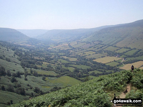
 Pen y Fan in The Black Mountains AreaThe Brecon Beacons


