The West Midlands region of England - a fully detailed list of all the Mountains, Peaks, Tops and Hills (Page 3 of 3)
The West Midlands region of England comprises the traditional counties of Herefordshire, Shropshire, Staffordshire, Warwickshire, West Midlands, Worcestershire and parts of the Peak District National Park.
If you include all the Mountains (Hewitts), the Deweys, the Nuttalls, the Marilyns, the Bridgets (Hills) and all the Mountains, Tops, Peaks and Hills with a Trig Point on them there are 176 tops to climb, bag & conquer and the highest point is Black Hill (Craswall) at 641m (2,103ft).
To see these Mountains, Peaks, Tops and Hills displayed in different ways - see the options in the left-hand column and towards the bottom of this page.
LOG ON and RELOAD this page to show which Mountains, Peaks, Tops and Hills you have already climbed, bagged & conquered [. . . more details]
Page 3 of 3 Go to page:
1 2 3 |
See this list in: Alphabetical Order
| Height Order‡
To reverse the order select the link again.
Mountain, Peak, Top or Hill:
Bagged
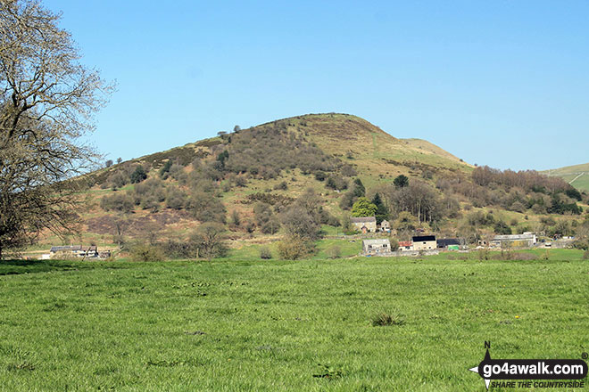
61. The Wrekin
407m (1,335ft)
Marilyn (96th in England, 1193rd in GB)
OS Trig Point
To walk, climb & bag The Wrekin use this easy-to-follow walk:
See the location of The Wrekin and walks up it on a google MapThe Wrekin is on interactive maps:
OS Explorer (Orange Covers): 242
OS Landranger (Pink Covers): 127
The Wrekin is on downloadable PDF you can Print or Save to your Phone:
|
62. Bryn Hill
408m (1,339ft)
Bridget
We hope to have walks that climb & bag Bryn Hill very soon
See the location of Bryn Hill and walks up it on a google MapBryn Hill is on interactive maps:
OS Explorer (Orange Covers): 216
OS Landranger (Pink Covers): 137
Bryn Hill is on downloadable PDF you can Print or Save to your Phone:
|
63. Cwm-sanaham Hill
409m (1,342ft)
Bridget
OS Trig Point
We hope to have walks that climb & bag Cwm-sanaham Hill very soon
See the location of Cwm-sanaham Hill and walks up it on a google MapCwm-sanaham Hill is on interactive maps:
OS Explorer (Orange Covers): 201
OS Landranger (Pink Covers): 137
Cwm-sanaham Hill is on downloadable PDF you can Print or Save to your Phone:
|
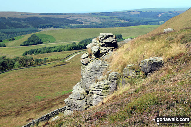
64. Cown Edge Rocks
410m (1,345ft)
Bridget
OS Trig Point
To walk, climb & bag Cown Edge Rocks use this easy-to-follow walk:
See the location of Cown Edge Rocks and walks up it on a google MapCown Edge Rocks is on interactive maps:
OS Explorer (Orange Covers): OL1
OS Landranger (Pink Covers): 109
Cown Edge Rocks is on downloadable PDF you can Print or Save to your Phone:
|
65. Callow
411m (1,348ft)
Bridget
We hope to have walks that climb & bag Callow very soon
See the location of Callow and walks up it on a google MapCallow is on interactive maps:
OS Explorer (Orange Covers): 241
OS Landranger (Pink Covers): 137
Callow is on downloadable PDF you can Print or Save to your Phone:
|
66. Norbury Hill (Linley Hill)
411m (1,348ft)
Bridget
We hope to have walks that climb & bag Norbury Hill (Linley Hill) very soon
See the location of Norbury Hill (Linley Hill) and walks up it on a google MapNorbury Hill (Linley Hill) is on interactive maps:
OS Explorer (Orange Covers): 216
OS Landranger (Pink Covers): 137
Norbury Hill (Linley Hill) is on downloadable PDF you can Print or Save to your Phone:
|
67. Cefn Hepreas
412m (1,352ft)
Bridget
We hope to have walks that climb & bag Cefn Hepreas very soon
See the location of Cefn Hepreas and walks up it on a google MapCefn Hepreas is on interactive maps:
OS Explorer (Orange Covers): 201
OS Landranger (Pink Covers): 137
Cefn Hepreas is on downloadable PDF you can Print or Save to your Phone:
|
68. Colebatch Hill
416m (1,365ft)
Bridget
OS Trig Point
We hope to have walks that climb & bag Colebatch Hill very soon
See the location of Colebatch Hill and walks up it on a google MapColebatch Hill is on interactive maps:
OS Explorer (Orange Covers): 216
OS Landranger (Pink Covers): 137
Colebatch Hill is on downloadable PDF you can Print or Save to your Phone:
|
69. Dowke Hill
416m (1,365ft)
Bridget
We hope to have walks that climb & bag Dowke Hill very soon
See the location of Dowke Hill and walks up it on a google MapDowke Hill is on interactive maps:
OS Explorer (Orange Covers): 201
OS Landranger (Pink Covers): 137
Dowke Hill is on downloadable PDF you can Print or Save to your Phone:
|
70. Chrome Hill
423m (1,388ft)
Bridget
To walk, climb & bag Chrome Hill use this easy-to-follow walk:
See the location of Chrome Hill and walks up it on a google MapChrome Hill is on interactive maps:
OS Explorer (Orange Covers): OL24
OS Landranger (Pink Covers): 119
Chrome Hill is on downloadable PDF you can Print or Save to your Phone:
|
71. Hill House
425m (1,395ft)
Bridget
OS Trig Point
To walk, climb & bag Hill House use this easy-to-follow walk:
See the location of Hill House and walks up it on a google MapHill House is on interactive maps:
OS Explorer (Orange Covers): OL24
OS Landranger (Pink Covers): 119
Hill House is on downloadable PDF you can Print or Save to your Phone:
|
72. Malvern (Worcestershire Beacon)
425m (1,395ft)
Marilyn (93rd in England, 1152nd in GB)
OS Trig Point
Malvern (Worcestershire Beacon) is the highest point in the county of Worcestershire.
To walk, climb & bag Malvern (Worcestershire Beacon) use this easy-to-follow walk:
See the location of Malvern (Worcestershire Beacon) and walks up it on a google MapMalvern (Worcestershire Beacon) is on interactive maps:
OS Explorer (Orange Covers): 190
OS Landranger (Pink Covers): 150
A downloadable go4awalk.com PDF Peak Bagging Map featuring Malvern (Worcestershire Beacon) will be available soon. |
73. Hergest Ridge
426m (1,398ft)
Marilyn (92nd in England, 1151st in GB)
OS Trig Point
We hope to have walks that climb & bag Hergest Ridge very soon
See the location of Hergest Ridge and walks up it on a google MapHergest Ridge is on interactive maps:
OS Explorer (Orange Covers): 201
OS Landranger (Pink Covers): 148
|
74. Hope Bowdler Hill
426m (1,398ft)
Bridget
We hope to have walks that climb & bag Hope Bowdler Hill very soon
See the location of Hope Bowdler Hill and walks up it on a google MapHope Bowdler Hill is on interactive maps:
OS Explorer (Orange Covers): 217
OS Landranger (Pink Covers): 137 and
138
Hope Bowdler Hill is on downloadable PDF you can Print or Save to your Phone:
|
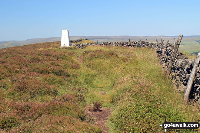
75. Sir William Hill
429m (1,407ft)
Bridget
OS Trig Point
To walk, climb & bag Sir William Hill use any of these easy-to-follow walks:
See the location of Sir William Hill and walks up it on a google MapSir William Hill is on interactive maps:
OS Explorer (Orange Covers): OL24
OS Landranger (Pink Covers): 119
Sir William Hill is on downloadable PDF you can Print or Save to your Phone:
|
76. Llanfair Hill
432m (1,417ft)
Bridget
We hope to have walks that climb & bag Llanfair Hill very soon
See the location of Llanfair Hill and walks up it on a google MapLlanfair Hill is on interactive maps:
OS Explorer (Orange Covers): 201
OS Landranger (Pink Covers): 137
Llanfair Hill is on downloadable PDF you can Print or Save to your Phone:
|
77. Higger Tor
434m (1,424ft)
Bridget
To walk, climb & bag Higger Tor use either of these easy-to-follow walks:
See the location of Higger Tor and walks up it on a google MapHigger Tor is on interactive maps:
OS Explorer (Orange Covers): OL1
OS Landranger (Pink Covers): 110
Higger Tor is on downloadable PDF you can Print or Save to your Phone:
|
78. Black Hill (Clun)
441m (1,447ft)
Bridget
OS Trig Point
We hope to have walks that climb & bag Black Hill (Clun) very soon
See the location of Black Hill (Clun) and walks up it on a google MapBlack Hill (Clun) is on interactive maps:
OS Explorer (Orange Covers): 201
OS Landranger (Pink Covers): 137
Black Hill (Clun) is on downloadable PDF you can Print or Save to your Phone:
|
79. Stow Hill
441m (1,447ft)
Bridget
OS Trig Point
We hope to have walks that climb & bag Stow Hill very soon
See the location of Stow Hill and walks up it on a google MapStow Hill is on interactive maps:
OS Explorer (Orange Covers): 201
OS Landranger (Pink Covers): 137 and
148
Stow Hill is on downloadable PDF you can Print or Save to your Phone:
|
80. Cothercott Hill
442m (1,450ft)
Bridget
We hope to have walks that climb & bag Cothercott Hill very soon
See the location of Cothercott Hill and walks up it on a google MapCothercott Hill is on interactive maps:
OS Explorer (Orange Covers): 241
OS Landranger (Pink Covers): 137
Cothercott Hill is on downloadable PDF you can Print or Save to your Phone:
|
81. Chinley Churn
451m (1,480ft)
Bridget
OS Trig Point
Please Note: The Trig Point on Chinley Churn is on private land and not accessible to the public.
To walk, climb & bag Chinley Churn use either of these easy-to-follow walks:
See the location of Chinley Churn and walks up it on a google MapChinley Churn is on interactive maps:
OS Explorer (Orange Covers): OL1
OS Landranger (Pink Covers): 109
|
82. Hollins Hill
451m (1,480ft)
Bridget
To walk, climb & bag Hollins Hill use this easy-to-follow walk:
See the location of Hollins Hill and walks up it on a google MapHollins Hill is on interactive maps:
OS Explorer (Orange Covers): OL1
OS Landranger (Pink Covers): 119
Hollins Hill is on downloadable PDF you can Print or Save to your Phone:
|
83. Heath Mynd
452m (1,483ft)
Marilyn (88th in England, 1100th in GB)
OS Trig Point
We hope to have walks that climb & bag Heath Mynd very soon
See the location of Heath Mynd and walks up it on a google MapHeath Mynd is on interactive maps:
OS Explorer (Orange Covers): 216
OS Landranger (Pink Covers): 137
Heath Mynd is on downloadable PDF you can Print or Save to your Phone:
|
84. Knolls
456m (1,496ft)
Bridget
OS Trig Point
We hope to have walks that climb & bag Knolls very soon
See the location of Knolls and walks up it on a google MapKnolls is on interactive maps:
OS Explorer (Orange Covers): 241
OS Landranger (Pink Covers): 137
Knolls is on downloadable PDF you can Print or Save to your Phone:
|
85. Caer Caradoc Hill
459m (1,506ft)
Marilyn (84th in England, 1083rd in GB)
To walk, climb & bag Caer Caradoc Hill use any of these easy-to-follow walks:
See the location of Caer Caradoc Hill and walks up it on a google MapCaer Caradoc Hill is on interactive maps:
OS Explorer (Orange Covers): 217
OS Landranger (Pink Covers): 137 and
138
Caer Caradoc Hill is on downloadable PDF you can Print or Save to your Phone:
|
86. Grindle
459m (1,506ft)
Bridget
We hope to have walks that climb & bag Grindle very soon
See the location of Grindle and walks up it on a google MapGrindle is on interactive maps:
OS Explorer (Orange Covers): 241
OS Landranger (Pink Covers): 137
Grindle is on downloadable PDF you can Print or Save to your Phone:
|
87. Winhill Pike (Win Hill)
462m (1,516ft)
Bridget
OS Trig Point
To walk, climb & bag Winhill Pike (Win Hill) use any of these easy-to-follow walks:
See the location of Winhill Pike (Win Hill) and walks up it on a google MapWinhill Pike (Win Hill) is on interactive maps:
OS Explorer (Orange Covers): OL1
OS Landranger (Pink Covers): 110
Winhill Pike (Win Hill) is on downloadable PDF you can Print or Save to your Phone:
|
88. Yearlet
466m (1,529ft)
Bridget
We hope to have walks that climb & bag Yearlet very soon
See the location of Yearlet and walks up it on a google MapYearlet is on interactive maps:
OS Explorer (Orange Covers): 241
OS Landranger (Pink Covers): 137
Yearlet is on downloadable PDF you can Print or Save to your Phone:
|
89. Eldon Hill (Perryfoot)
470m (1,542ft)
Bridget
To walk, climb & bag Eldon Hill (Perryfoot) use this easy-to-follow walk:
See the location of Eldon Hill (Perryfoot) and walks up it on a google MapEldon Hill (Perryfoot) is on interactive maps:
OS Explorer (Orange Covers): OL24
OS Landranger (Pink Covers): 119
Eldon Hill (Perryfoot) is on downloadable PDF you can Print or Save to your Phone:
|
90. Bradwell Moor
471m (1,545ft)
Bridget
OS Trig Point
To walk, climb & bag Bradwell Moor use either of these easy-to-follow walks:
See the location of Bradwell Moor and walks up it on a google MapBradwell Moor is on interactive maps:
OS Explorer (Orange Covers): OL1
OS Landranger (Pink Covers): 110
Bradwell Moor is on downloadable PDF you can Print or Save to your Phone:
|
91. Blake Mere (Merryton Low)
489m (1,604ft)
Bridget
OS Trig Point
To walk, climb & bag Blake Mere (Merryton Low) use this easy-to-follow walk:
See the location of Blake Mere (Merryton Low) and walks up it on a google MapBlake Mere (Merryton Low) is on interactive maps:
OS Explorer (Orange Covers): OL24
OS Landranger (Pink Covers): 118
Blake Mere (Merryton Low) is on downloadable PDF you can Print or Save to your Phone:
|
92. Dead Edge End
499m (1,637ft)
Bridget
OS Trig Point
To walk, climb & bag Dead Edge End use either of these easy-to-follow walks:
See the location of Dead Edge End and walks up it on a google MapDead Edge End is on interactive maps:
OS Explorer (Orange Covers): OL1
OS Landranger (Pink Covers): 110
Dead Edge End is on downloadable PDF you can Print or Save to your Phone:
|
93. Burbage Edge
500m (1,641ft)
Bridget
OS Trig Point
To walk, climb & bag Burbage Edge use either of these easy-to-follow walks:
See the location of Burbage Edge and walks up it on a google MapBurbage Edge is on interactive maps:
OS Explorer (Orange Covers): OL24
OS Landranger (Pink Covers): 119
Burbage Edge is on downloadable PDF you can Print or Save to your Phone:
|
94. Combs Head (Combs Moss)
503m (1,650ft)
Dewey (174th in England, 407th in England & Wales)
To walk, climb & bag Combs Head (Combs Moss) use this easy-to-follow walk:
See the location of Combs Head (Combs Moss) and walks up it on a google MapCombs Head (Combs Moss) is on interactive maps:
OS Explorer (Orange Covers): OL24
OS Landranger (Pink Covers): 119
Combs Head (Combs Moss) is on downloadable PDF you can Print or Save to your Phone:
|
95. Westend Moor (Alport Moor)
503m (1,650ft)
Bridget
OS Trig Point
We hope to have walks that climb & bag Westend Moor (Alport Moor) very soon
See the location of Westend Moor (Alport Moor) and walks up it on a google MapWestend Moor (Alport Moor) is on interactive maps:
OS Explorer (Orange Covers): OL1
OS Landranger (Pink Covers): 110
|
96. Black Edge (Combs Moss)
507m (1,663ft)
Dewey (169th in England, 391st in England & Wales)
OS Trig Point
To walk, climb & bag Black Edge (Combs Moss) use this easy-to-follow walk:
See the location of Black Edge (Combs Moss) and walks up it on a google MapBlack Edge (Combs Moss) is on interactive maps:
OS Explorer (Orange Covers): OL24
OS Landranger (Pink Covers): 119
Black Edge (Combs Moss) is on downloadable PDF you can Print or Save to your Phone:
|
97. Brown Clee Hill (Clee Burf)
508m (1,667ft)
Dewey (165th in England, 381st in England & Wales)
To walk, climb & bag Brown Clee Hill (Clee Burf) use this easy-to-follow walk:
See the location of Brown Clee Hill (Clee Burf) and walks up it on a google MapBrown Clee Hill (Clee Burf) is on interactive maps:
OS Explorer (Orange Covers): 217
OS Landranger (Pink Covers): 137
Brown Clee Hill (Clee Burf) is on downloadable PDF you can Print or Save to your Phone:
|
98. Oliver Hill
513m (1,684ft)
Dewey (154th in England, 354th in England & Wales)
To walk, climb & bag Oliver Hill use any of these easy-to-follow walks:
See the location of Oliver Hill and walks up it on a google MapOliver Hill is on interactive maps:
OS Explorer (Orange Covers): OL24
OS Landranger (Pink Covers): 119
Oliver Hill is on downloadable PDF you can Print or Save to your Phone:
|
99. Pole Bank (Long Mynd)
516m (1,693ft)
Dewey (149th in England, 341st in England & Wales)
Marilyn (74th in England, 948th in GB)
OS Trig Point
To walk, climb & bag Pole Bank (Long Mynd) use this easy-to-follow walk:
See the location of Pole Bank (Long Mynd) and walks up it on a google MapPole Bank (Long Mynd) is on interactive maps:
OS Explorer (Orange Covers): 217
OS Landranger (Pink Covers): 137
Pole Bank (Long Mynd) is on downloadable PDF you can Print or Save to your Phone:
|
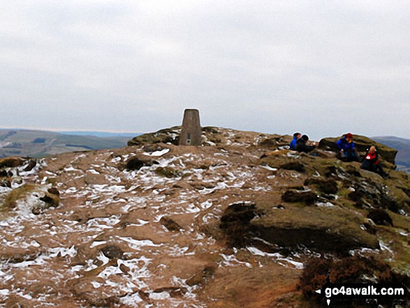
100. Mam Tor
517m (1,696ft)
Dewey (145th in England, 334th in England & Wales)
OS Trig Point
To walk, climb & bag Mam Tor use any of these easy-to-follow walks:
See the location of Mam Tor and walks up it on a google MapMam Tor is on interactive maps:
OS Explorer (Orange Covers): OL1
OS Landranger (Pink Covers): 110
Mam Tor is on downloadable PDF you can Print or Save to your Phone:
|
101. Cheeks Hill
520m (1,707ft)
Bridget
Cheeks Hill is the highest point in the county of Staffordshire.
We hope to have walks that climb & bag Cheeks Hill very soon
See the location of Cheeks Hill and walks up it on a google MapCheeks Hill is on interactive maps:
OS Explorer (Orange Covers): OL24
OS Landranger (Pink Covers): 119
Cheeks Hill is on downloadable PDF you can Print or Save to your Phone:
|
102. Windgate Edge
523m (1,716ft)
Bridget
To walk, climb & bag Windgate Edge use this easy-to-follow walk:
See the location of Windgate Edge and walks up it on a google MapWindgate Edge is on interactive maps:
OS Explorer (Orange Covers): OL1
OS Landranger (Pink Covers): 110
|
103. Titterstone Clee Hill
533m (1,749ft)
Dewey (106th in England, 247th in England & Wales)
Marilyn (69th in England, 912th in GB)
OS Trig Point
To walk, climb & bag Titterstone Clee Hill use this easy-to-follow walk:
See the location of Titterstone Clee Hill and walks up it on a google MapTitterstone Clee Hill is on interactive maps:
OS Explorer (Orange Covers): 217
OS Landranger (Pink Covers): 137 and
138
Titterstone Clee Hill is on downloadable PDF you can Print or Save to your Phone:
|
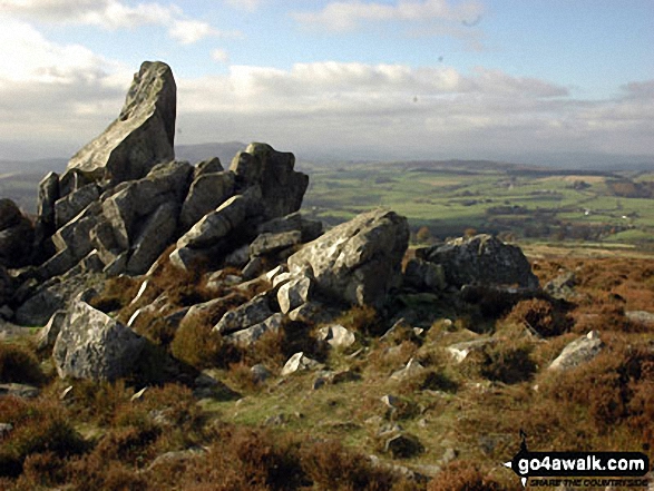
104. Stiperstones (Manstone Rock)
536m (1,759ft)
Dewey (101st in England, 234th in England & Wales)
Marilyn (68th in England, 904th in GB)
OS Trig Point
To walk, climb & bag Stiperstones (Manstone Rock) use either of these easy-to-follow walks:
See the location of Stiperstones (Manstone Rock) and walks up it on a google MapStiperstones (Manstone Rock) is on interactive maps:
OS Explorer (Orange Covers): 217
OS Landranger (Pink Covers): 137
Stiperstones (Manstone Rock) is on downloadable PDF you can Print or Save to your Phone:
|
105. Brown Clee Hill (Abdon Burf)
540m (1,772ft)
Dewey (93rd in England, 212th in England & Wales)
Marilyn (66th in England, 895th in GB)
OS Trig Point
Brown Clee Hill (Abdon Burf) is the highest point in the county of Shropshire
To walk, climb & bag Brown Clee Hill (Abdon Burf) use this easy-to-follow walk:
See the location of Brown Clee Hill (Abdon Burf) and walks up it on a google MapBrown Clee Hill (Abdon Burf) is on interactive maps:
OS Explorer (Orange Covers): 217
OS Landranger (Pink Covers): 137 and
138
Brown Clee Hill (Abdon Burf) is on downloadable PDF you can Print or Save to your Phone:
|
106. Featherbed Moss (Chew Reservoir)
541m (1,775ft)
Bridget
OS Trig Point
To walk, climb & bag Featherbed Moss (Chew Reservoir) use this easy-to-follow walk:
See the location of Featherbed Moss (Chew Reservoir) and walks up it on a google MapFeatherbed Moss (Chew Reservoir) is on interactive maps:
OS Explorer (Orange Covers): OL1
OS Landranger (Pink Covers): 110
|
107. Featherbed Top (Featherbed Moss)
544m (1,785ft)
Dewey (85th in England, 196th in England & Wales)
To walk, climb & bag Featherbed Top (Featherbed Moss) use either of these easy-to-follow walks:
See the location of Featherbed Top (Featherbed Moss) and walks up it on a google MapFeatherbed Top (Featherbed Moss) is on interactive maps:
OS Explorer (Orange Covers): OL1
OS Landranger (Pink Covers): 110
Featherbed Top (Featherbed Moss) is on downloadable PDF you can Print or Save to your Phone:
|
108. Mill Hill (Ashop Head)
544m (1,785ft)
Dewey (86th in England, 197th in England & Wales)
To walk, climb & bag Mill Hill (Ashop Head) use any of these easy-to-follow walks:
See the location of Mill Hill (Ashop Head) and walks up it on a google MapMill Hill (Ashop Head) is on interactive maps:
OS Explorer (Orange Covers): OL1
OS Landranger (Pink Covers): 109
Mill Hill (Ashop Head) is on downloadable PDF you can Print or Save to your Phone:
|
109. Lord's Seat (Rushup Edge)
546m (1,791ft)
Dewey (80th in England, 184th in England & Wales)
To walk, climb & bag Lord's Seat (Rushup Edge) use any of these easy-to-follow walks:
See the location of Lord's Seat (Rushup Edge) and walks up it on a google MapLord's Seat (Rushup Edge) is on interactive maps:
OS Explorer (Orange Covers): OL1
OS Landranger (Pink Covers): 110
Lord's Seat (Rushup Edge) is on downloadable PDF you can Print or Save to your Phone:
|
110. Axe Edge (Axe Edge Moor)
551m (1,808ft)
Dewey (69th in England, 159th in England & Wales)
OS Trig Point
To walk, climb & bag Axe Edge (Axe Edge Moor) use this easy-to-follow walk:
See the location of Axe Edge (Axe Edge Moor) and walks up it on a google MapAxe Edge (Axe Edge Moor) is on interactive maps:
OS Explorer (Orange Covers): OL24
OS Landranger (Pink Covers): 119
Axe Edge (Axe Edge Moor) is on downloadable PDF you can Print or Save to your Phone:
|
111. Brown Knoll (Edale)
569m (1,867ft)
Dewey (41st in England, 91st in England & Wales)
OS Trig Point
To walk, climb & bag Brown Knoll (Edale) use any of these easy-to-follow walks:
See the location of Brown Knoll (Edale) and walks up it on a google MapBrown Knoll (Edale) is on interactive maps:
OS Explorer (Orange Covers): OL1
OS Landranger (Pink Covers): 110
Brown Knoll (Edale) is on downloadable PDF you can Print or Save to your Phone:
|
112. Higher Shelf Stones
622m (2,041ft)
Nuttall (229th in England, 398th in England & Wales)
OS Trig Point
To walk, climb & bag Higher Shelf Stones use any of these easy-to-follow walks:
See the location of Higher Shelf Stones and walks up it on a google MapHigher Shelf Stones is on interactive maps:
OS Explorer (Orange Covers): OL1
OS Landranger (Pink Covers): 110
Higher Shelf Stones is on downloadable PDF you can Print or Save to your Phone:
|
113. The Edge (Kinder Scout)
624m (2,048ft)
Bridget
OS Trig Point
To walk, climb & bag The Edge (Kinder Scout) use any of these easy-to-follow walks:
See the location of The Edge (Kinder Scout) and walks up it on a google MapThe Edge (Kinder Scout) is on interactive maps:
OS Explorer (Orange Covers): OL1
OS Landranger (Pink Covers): 110
The Edge (Kinder Scout) is on downloadable PDF you can Print or Save to your Phone:
|
114. Bleaklow Head (Bleaklow Hill)
633m (2,077ft)
Mountain (159th in England, 271st in England & Wales)
Nuttall (212th in England, 364th in England & Wales)
To walk, climb & bag Bleaklow Head (Bleaklow Hill) use any of these easy-to-follow walks:
See the location of Bleaklow Head (Bleaklow Hill) and walks up it on a google MapBleaklow Head (Bleaklow Hill) is on interactive maps:
OS Explorer (Orange Covers): OL1
OS Landranger (Pink Covers): 110
Bleaklow Head (Bleaklow Hill) is on downloadable PDF you can Print or Save to your Phone:
|
115. Kinder Low (Kinder Scout)
633m (2,078ft)
Bridget
OS Trig Point
To walk, climb & bag Kinder Low (Kinder Scout) use any of these easy-to-follow walks:
See the location of Kinder Low (Kinder Scout) and walks up it on a google MapKinder Low (Kinder Scout) is on interactive maps:
OS Explorer (Orange Covers): OL1
OS Landranger (Pink Covers): 110
Kinder Low (Kinder Scout) is on downloadable PDF you can Print or Save to your Phone:
|
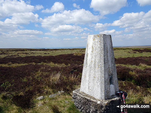
116. Black Hill (Craswall)
641m (2,103ft)
Bridget
OS Trig Point
We hope to have walks that climb & bag Black Hill (Craswall) very soon
See the location of Black Hill (Craswall) and walks up it on a google MapBlack Hill (Craswall) is on interactive maps:
OS Explorer (Orange Covers): OL13
OS Landranger (Pink Covers): 161
|
Page 3 of 3 Go to page:
1 2 3 |
View these 176 Mountains, Peaks, Tops and Hills:
Is there a Mountain, Peak, Top or Hill missing from the above google map or list?
Let us know an we will add it to our database.

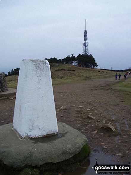


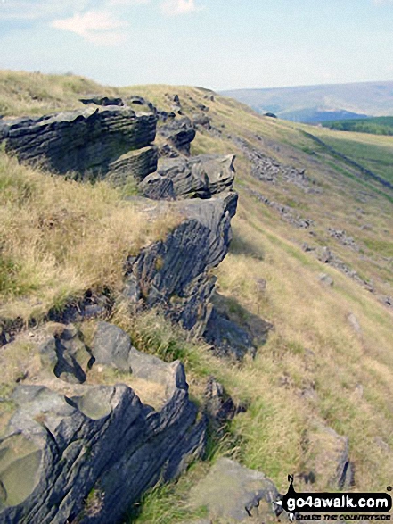

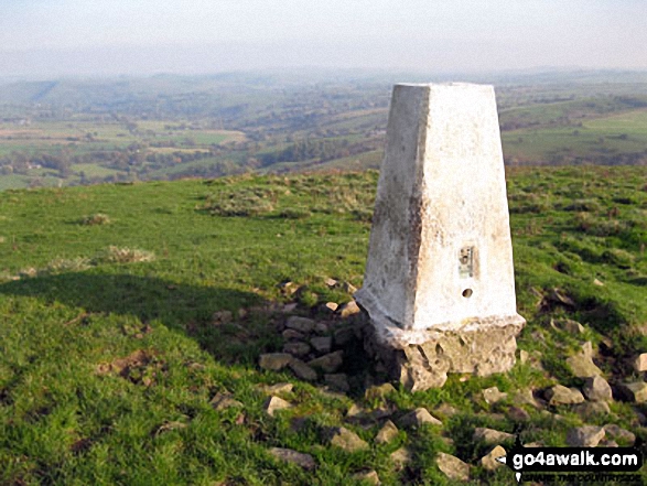
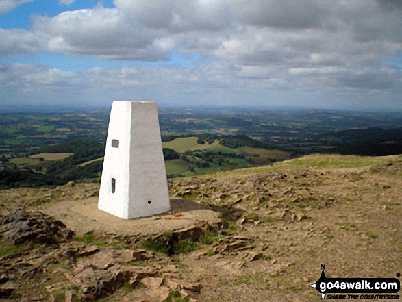
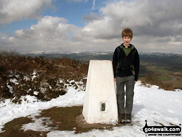

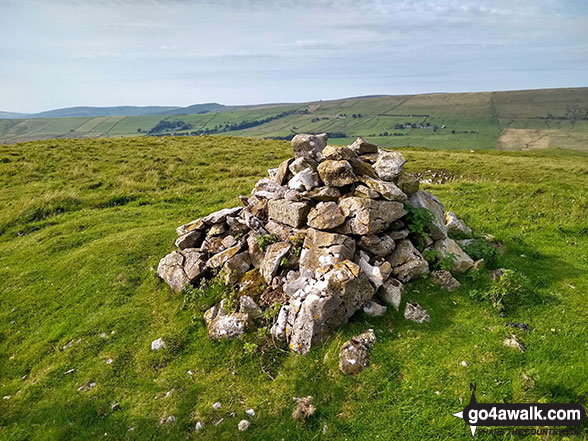
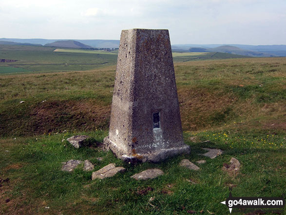
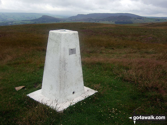
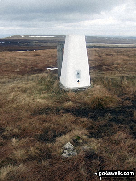
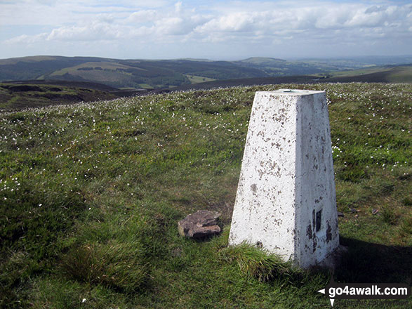


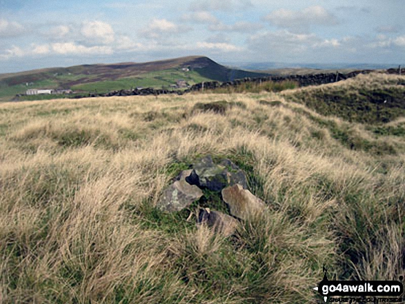

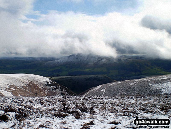
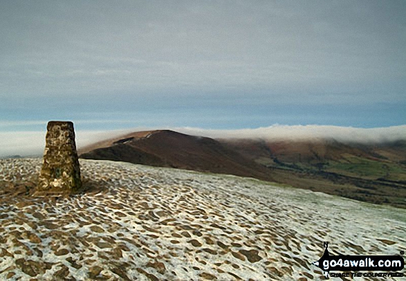
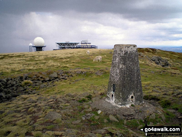
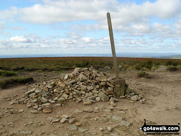

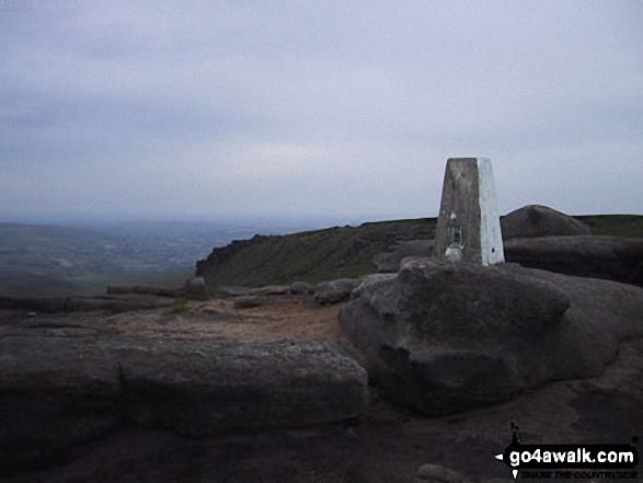
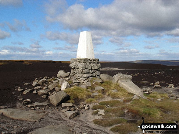

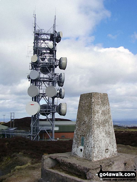 The summit of Brown Clee Hill (Abdon Burf) in The Dark Peak Area


