
![]()
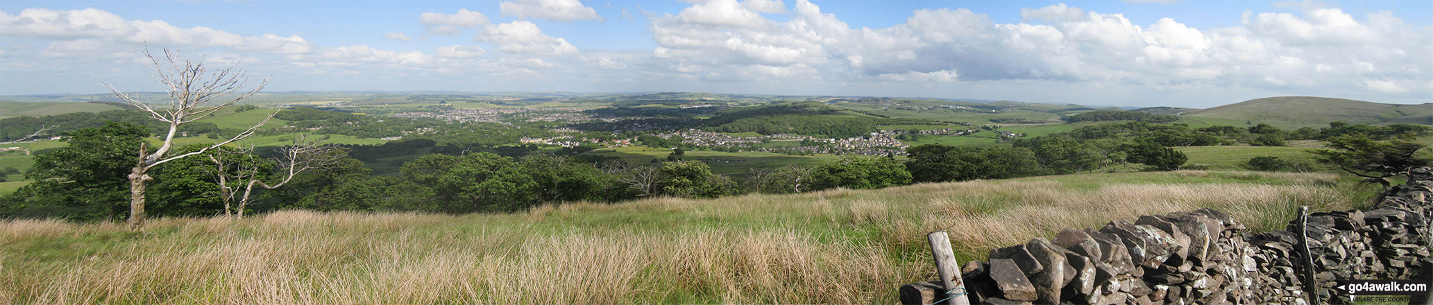
Burbage Edge
500m (1641ft)
The White Peak Area, The Peak District, Derbyshire, England
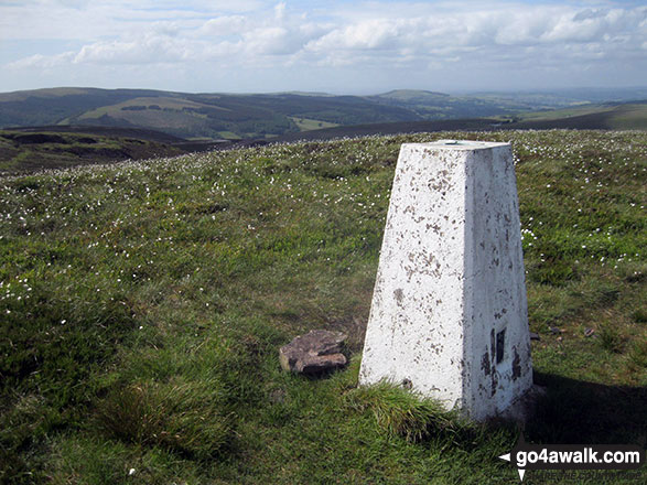
The summit of Burbage Edge is marked by an Ordnance Survey Trig Point.
Not familiar with this top?
   |
|---|
Vital Statistics:
| Length: | 6.5ml (10.5km) |
|---|---|
| Ascent: | 1,283ft (391m) |
| Time: | 3.75hrs |
| Grade: |  (Moderate) (Moderate) |
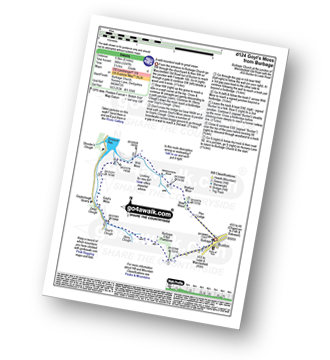
Route Summary:
Buxton (Burbage Church) - Burbage Edge Plantation - Burbage Edge - Berry Clough - Goyt's Clough - Goyt's Moss - Goytsclough Quarry - The Goyt Valley - Wild Moor - Wildmoorstone Brook - Watford Moor - Beet Wood - Buxton (Burbage Church)
|
|---|
Vital Statistics:
| Length: | 9.5ml (15km) |
|---|---|
| Ascent: | 2,071ft (631m) |
| Time: | 5½ hrs |
| Grade: |  (Moderate) (Moderate) |
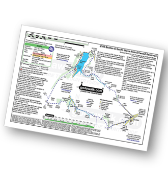
Route Summary:
Errwood Reservoir - The Goyt Valley - Bunsal Cob - Wild Moor - Wildmoorstone Brook - Watford Moor - Beet Wood - Burbage Church - Buxton - Burbage Edge Plantation - Burbage Edge - Berry Clough - Goyt's Clough - Goyt's Moss - Deep Clough - Goytsclough Quarry - Stake Clough - Stake Side - The Goyt Valley - Errwood Hall - Errwood Reservoir
See Burbage Edge and the surrounding tops on our free-to-access 'Google Style' Peak Bagging Maps:
The White Peak Area of The Peak District National Park
Less data - quicker to download
See Burbage Edge and the surrounding tops on our downloadable Peak Bagging Map in PDF format:

NB: Whether you print off a copy or download it to your phone, this PDF Peak Baggers' Map might prove incredibly useful when your are up there on the tops and you cannot get a phone signal.
You can find Burbage Edge & all the walks that climb it on these unique free-to-access Interactive Walk Planning Maps:
1:25,000 scale OS Explorer Map (orange/yellow covers):
1:50,000 scale OS Landranger Map (pink/magenta covers):
 Fellow go4awalkers who have already walked, climbed, summited & bagged Burbage Edge
Ruth Mcfarlane walked up Burbage Edge during June, 2023 [from/via/route] Burbage loop [with] Crispy Lalls - A favourite route
Andrew Flynn climbed Burbage Edge on October 6th, 2021 [from/via/route] Wildfire course
Wendy Nield bagged Burbage Edge on July 1st, 2021 [from/via/route] 4 mile walk from Derbyshire bridge car park. [with] Hillbilly Baggers [weather] Very warm & sunny - Saw Skylarks & a Curlew.
Mark Davidson hiked Burbage Edge on July 17th, 2017 [with] Alone [weather] Lovely & sunny with a gentle breeze
Steve Lockett has walked, climbed & bagged Burbage Edge.
To add (or remove) your name and experiences on this page - Log On and edit your Personal Mountain Bagging Record
More Photographs & Pictures of views from, on or of Burbage Edge
Send us your photographs and pictures on, of, or from Burbage Edge
If you would like to add your walk photographs and pictures featuring views from, on or of Burbage Edge to this page, please send them as email attachments (configured for any computer) along with your name to:
and we shall do our best to publish them.
(Guide Resolution = 300dpi. At least = 660pixels (wide) x 440 pixels (high).)

You can also submit photos via our Facebook Page.
NB. Please indicate where each photo was taken and whether you wish us to credit your photos with a Username or your First Name/Last Name.
Not familiar with this top?


